Goose Lake
North of Palmer and the sprawling open pit Empire Mine M-35 winds its way around Goose Lake. I rarely drive past it on my way to my usual hiking spots in the Huron Mountains, with 553 providing a more direct route to Marquette through the Sands, but when I do I always crane my neck around to check it out. Goose Lake is shallow, less than 20 feet deep in any season, and has regular algae blooms in the summer. Railroad tracks from Empire Mine run across it and are responsible for many scenic photos of an ore-laden train riding a few feet above the still waters. Even more interesting to me are the rocky outcroppings on the west side of the lake above M-35, which was why I headed to Goose Lake on a soaked weekend morning.
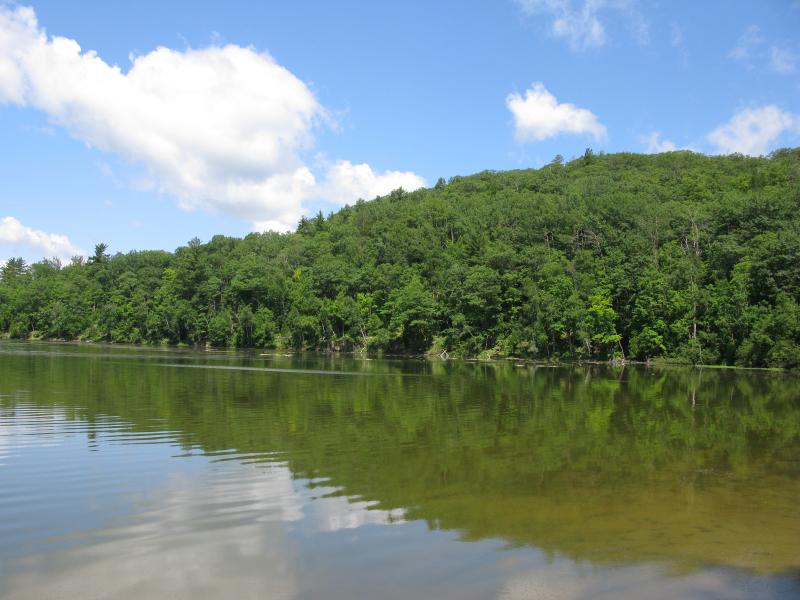
Shallow waters of Goose Lake
There are two sets of western outcroppings: one looking out over the lake and the other facing south. I figured the easiest climb would involve tackling the latter first (and it would save me from parking on the shoulder of M-35), although this route would force me to cross the inlet of Goose Lake. Partridge Creek is a small but wide waterway surrounded by swampy wetlands. Luckily, the railroad tracks crosses the creek a few times near County Road MA before running across the lake so I parked off of this dirt road on a wide curve. The tracks were visible through the trees and I was able to get to them and over the creek easily.
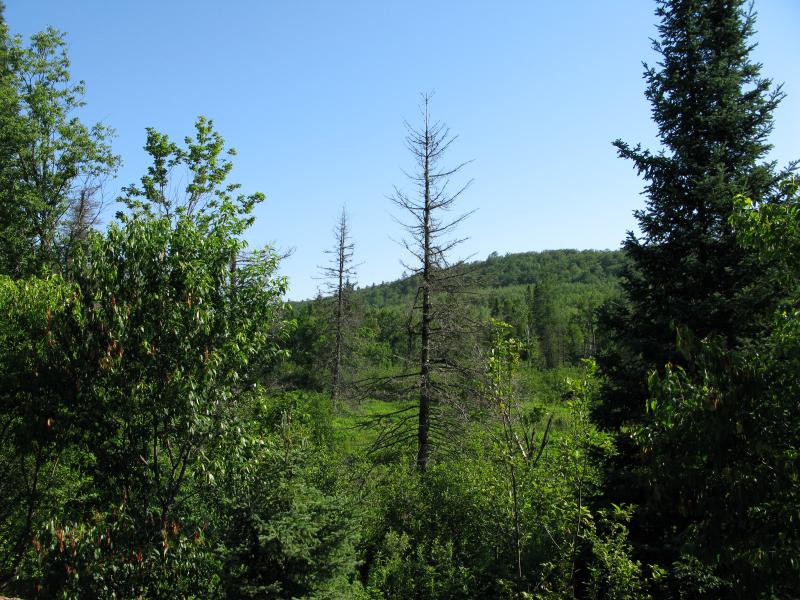
Partridge Creek lowlands and brush
Railroad tracks are always interesting to walk along with iron pellets rolling underfoot. Due to several large morning storms the woods were dripping wet, and I followed the tracks in a disjointed gait as long as possible to avoid the forest. Regretfully I eventually turned north into the woods, ducking under the low branches and avoiding the underbrush in a vain attempt to stay dry. Less than ten minutes in and I was soaked straight through with water falling off my hat and bubbling out of my boots. It was miserable.
While I had scanned the area before visiting I was still confused when I came upon an overgrown track perpendicular to my route. East and west did not interest me, so I passed it and continued north, which had steadily steepened the further I got from the creek and tracks. The trees were young and close together, raining big drops down on me but making good handholds on the slick climb. After a while the grass gave way first to crumbling rock, then solid outcroppings, and I came out of the wet forest and into the sun with a welcome sweeping view to the south and east.
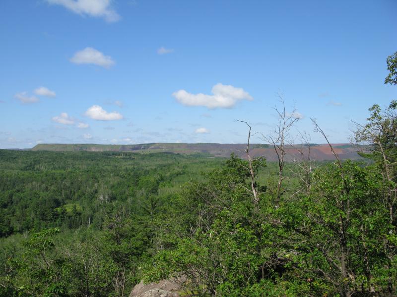
Lines of Empire Mine tailings
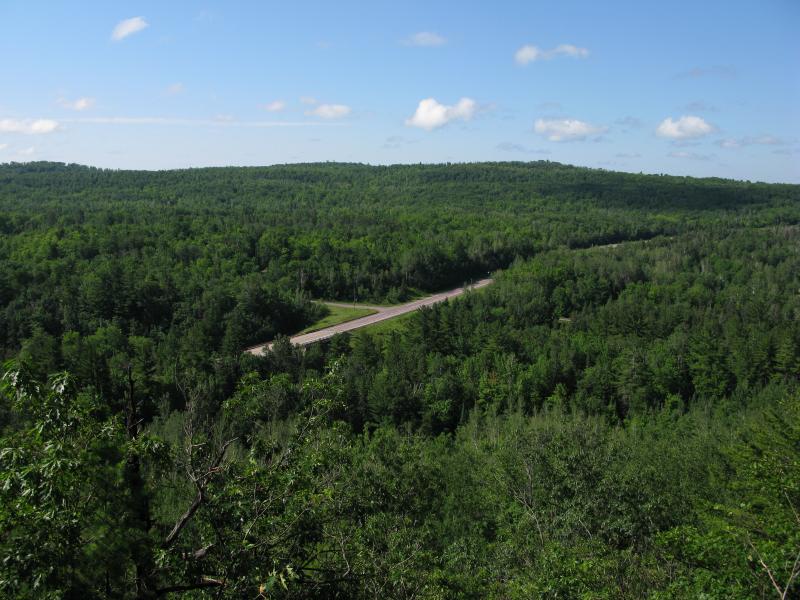
M-35 angled to the south
Unnatural long, flat hills of poor rock marked the outer edges of Empire Mine to the south. Light green growth was starting to creep down the sides of the older piles, but most of the rock had a dull brown color. Rolling green hills surrounded the piles on both sides and a glimmering blue marked the corner of Goose Lake to the east. I had a fantastic view. After the wet hike I plopped down on the dry rock and looked around, letting the sun warm me up while I enjoyed the view, at peace but for a few black flies.
This outcropping was a bit small but had a variety of scenes thanks to it's rounded cliff. After wandering around a bit on top, skipping around the varied surface, I turned and headed northeast to the outcropping facing the lake. First down then back up I slowly made my way through the tangled undergrowth. For a while I followed a slight ridgeline surrounded by tall pines, thankful of the break from the wet foliage, before finding myself at another overgrown trail perpendicular to my route that followed a straight clear cut line. It appeared to be an old powerline trail with thick, brambly brush blocking my path and hiding slick rocks underneath.
Pushing my way past this obstacle with a mix of brute force and scrabbling I came out upon towering pines that usually mark ridgelines. Anticipating the second view I followed it, running into another overgrown four wheeler trail on the way. This trail was in aligned with my direction and I followed up it to a clearing at the top of the cliff to an amazing view of Goose Lake below.
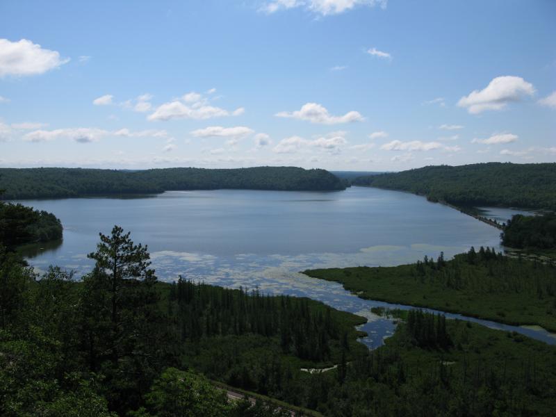
Sweeping overlook of Goose Lake
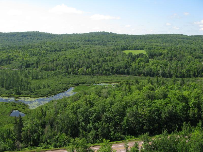
Swampy inlet into Goose Lake
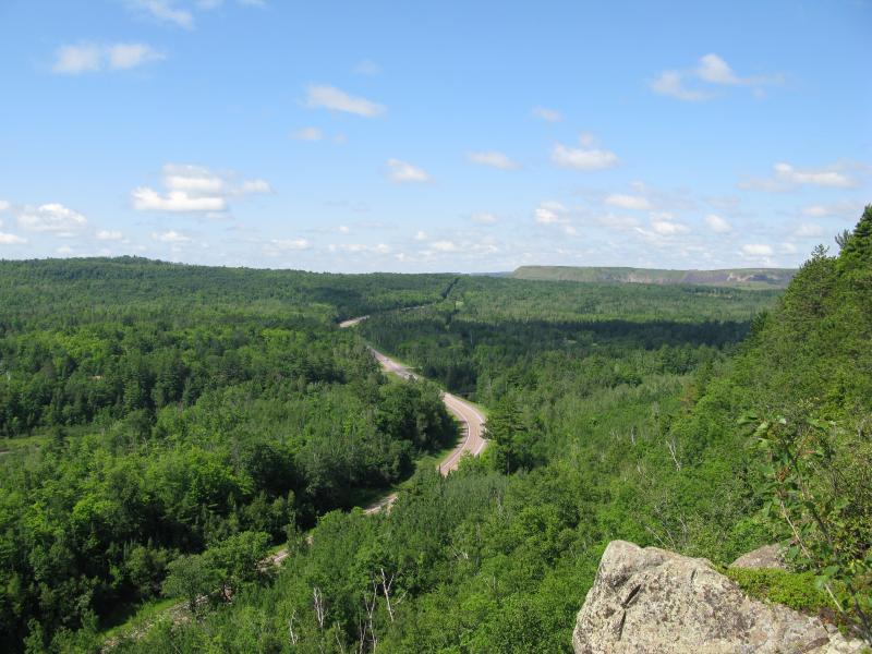
Looking up M-35
Obviously a well visited spot, the clearing had several lumps of rock sticking out over the cliff, offering a comfortable spot to dangle my feet over the edge and watch the vehicles far below. There were names and dates scratched into some of the rocks and enough room to park several four wheelers and set up a tent up as well. I took off my shirt and jacket, laying them out the sun, while I sprawled out on the warm rock in an attempt to dry off. This hike wasn't enough to tire me out so I couldn't doze the time away, so I spent most of the time on the cliff idly watching ants march around and deciphering scratched words. After a half hour or so I was too bored to finish drying off and set off down the four wheeler path only slightly damp.
I had an idea that the four wheeler paths were all connected. It would make sense that this path would lead down the hill along the old power line and then follow the tracks west, possible crossing Partridge Creek some distance upstream. The trail that led to this outcropping twisted a few times before coming out on a dirt road near the power line clearing. I set down the road slowly, keeping a careful eye to my left looking for the path down but never finding one. Confused, I continued down the road as long as I dared to head off course (the road headed northwest), eventually giving up and cutting into the woods, which was still dripping wet. Trotting down the hill, stumbling down the slick ground and bumping into wet trees, I made it to the base of the hill resoaked. Frustrated I followed the creek downstream a bit, finding the railroad crossing and my car, feeling more like I had swam through Goose Lake than climbed above it.
There were great views along the route of both Goose Lake and Empire Mine, and asides from the thick woods and wet foliage I enjoyed it. I still think that the four wheeler paths could possibly lead to an easier path up to the second outcropping, although the best views of the mine would not be found along that route. After I made it back to the car I drove over to the public access to the lake, a confusing route further to the east that led past a gun range, old dump, and ended with a disappointingly narrow view up the eastern neck. There were some trails marked by Van Riper State Park leading up the hill here that I didn't check out, but otherwise I'd recommend the tough but rewarding hike up the western outcroppings (on a dry day, that is).
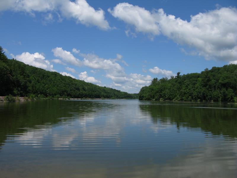
Goose Lake public access on the far east


Comments (0)