Eastern Alder Hill
County Roads 550 and 510 stretch northwest from Marquette, roughly parallel and never more than five miles apart, eventually meeting near Big Bay. Between the two roads lie a number of public and private peaks of the Huron Mountains. There are a few that spill out of the road's embracing circle, but for the most part there is sandy lowlands to the east of the roads and highlands to the west. I've been to a lot of the accessible areas between these roads, but there were two new ones that I aimed for today - the Alder Hills.
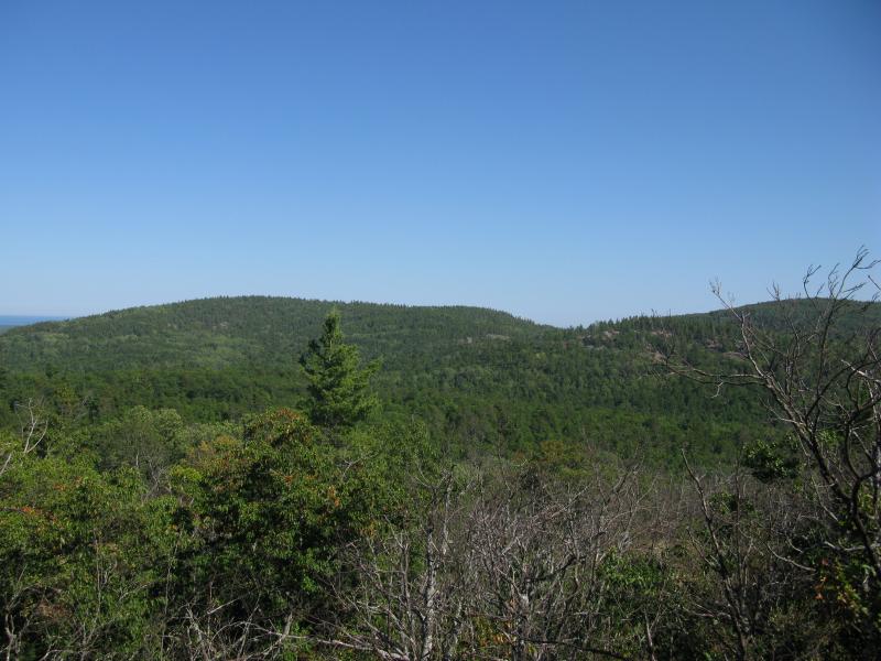
First view of the southeast Alder Hill
I parked at a familiar spot above Alder Falls. The sandy road from County Road 550 is a bit of a tough stretch for my little car and I didn't want to try my luck driving beyond the falls. Grabbing my gear I headed uproad, past the trail down to the waterfall, and towards the eastern Alder Hill. After a short distance uphill on the road I cut south on a track, catching a quick glimpse of the impressive hill in front of me. It would be a good 500 foot climb to the peak on this hot and dry day, and seeing the green forest rise up was a reality check. Buckling down, I cut off the road and cut a direct line to the peak.
The forest started out young and brambly with numerous downed trees. It took a few hundred feet in elevation before it started to clear out to an older, friendly stand. With a thick covering of pine needles underfoot and massive pine trunks surrounding me I really started to enjoy the climb. Checking my GPS, I started east on an angle up the hill to see if a promising shift of elevation would give me a good view of the shoreline to the south. A break in the trees ahead got my hopes up and I stepped out of the woods to an unnatural vista.
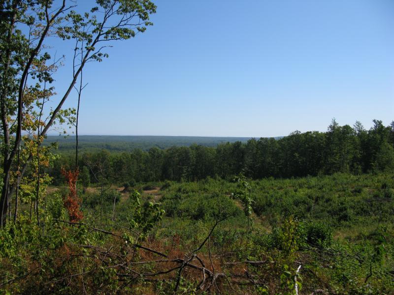
Clear cutting on Alder Hills
Recent logging cut a large swath out of the hillside, granting me an unwelcome view of weeds, stumped trees, and piles of brush. I'm not against logging, but this wasn't the rustic, wild view I was looking for today. I turned around disappointed and continued the hike, cutting away from the downed trees.
My climb started to toughen, with rock outcroppings forcing detours and thick areas in the woods that slowed my progress. I had marked a few spots to check based on satellite photos that I hoped would open up for a good view so my route started to zig-zag slowly up the northeast slope, but I never found a clear view. I was also slowly rotating around to the southern slope, knowing from experience that many Upper Peninsula features had southern outcroppings, but this only stretched out the hike. After getting over two-thirds up the hill I was frustrated and tired. Settling down, I took a quick nap in the quiet woods near one of the many almost-views I had found along the climb.
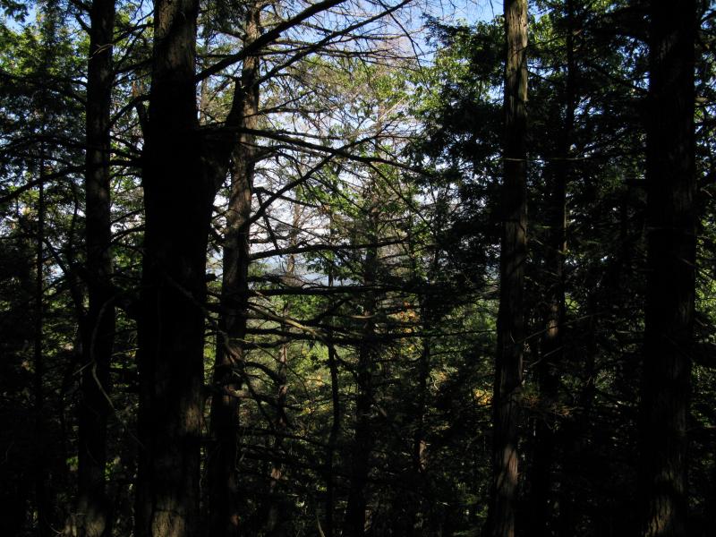
Blocked eastern view of Lake Superior
I got up with a different resolve. It wasn't about finding a good view anymore... Now I just wanted to climb the damn hill and be done with it. My approach straightened and I quickly made it to the top of the eastern Alder Hill. There was some typical outcroppings up here, with exposed granite and small scraggly brush clinging on where it could. However, while this hill was tall, the peak was not very steep and trees below the outcroppings blocked any sort of good view of the surrounding area. I slowly circled around the top, only catching hints of the shoreline to the east.
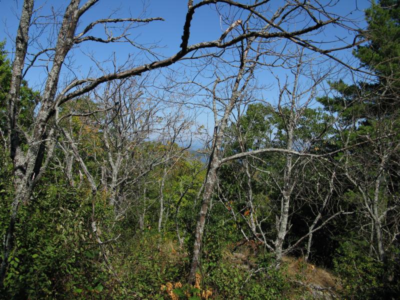
Small bare trees on the peak
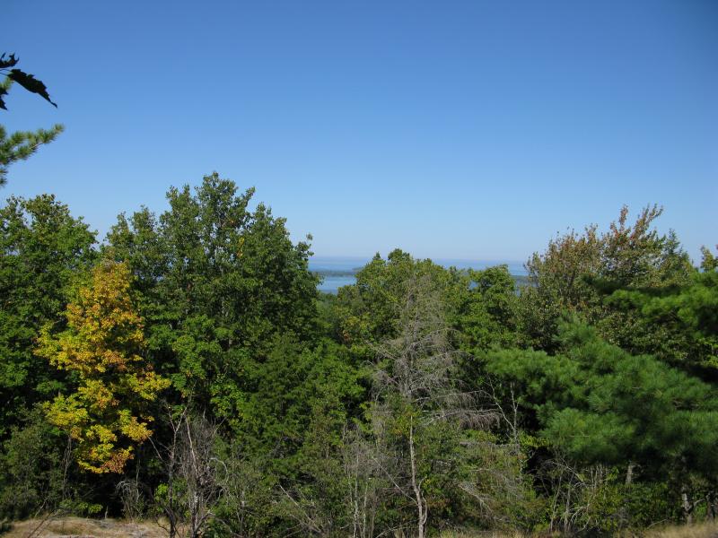
Glimpse of Lake Superior to the east
There was something else on the top of this hill - an overgrown road leading down the northern side of the hill. I followed it down in hopes for an easier route down, and while it faded in and out in the thick woods it did lead down to the familiar sandy road I had parked on, just a few hundred yards from where I had originally cut off. It was an interesting find but I was glad I found it after the climb. Thanks to my slow and meandering bushwhack up the hill I feel pretty confident that a clear view doesn't exist on this hill, at least not during the summer. Happy to be done with this hike I jumped in my car and drove over to the next hike - the western Alder Hill.


Comments (0)