Diorite Bluffs - A Rocky Western Ridge
Stretching west from the tiny town of Diorite is a jagged line of bluffs, swamps, and sandy flatlands. The bluffs are not terribly tall, rising less than two hundred feet up above the plains below, and promise few clear south-facing outcroppings. Pines cover the sandy sections of the plains near Wolf Lake Road, slowly giving way to swamps and open ponds closer to Diorite. It's an interesting little spot, the bluffs overlooking the flat, but it was something else that first caught my attention to this area.
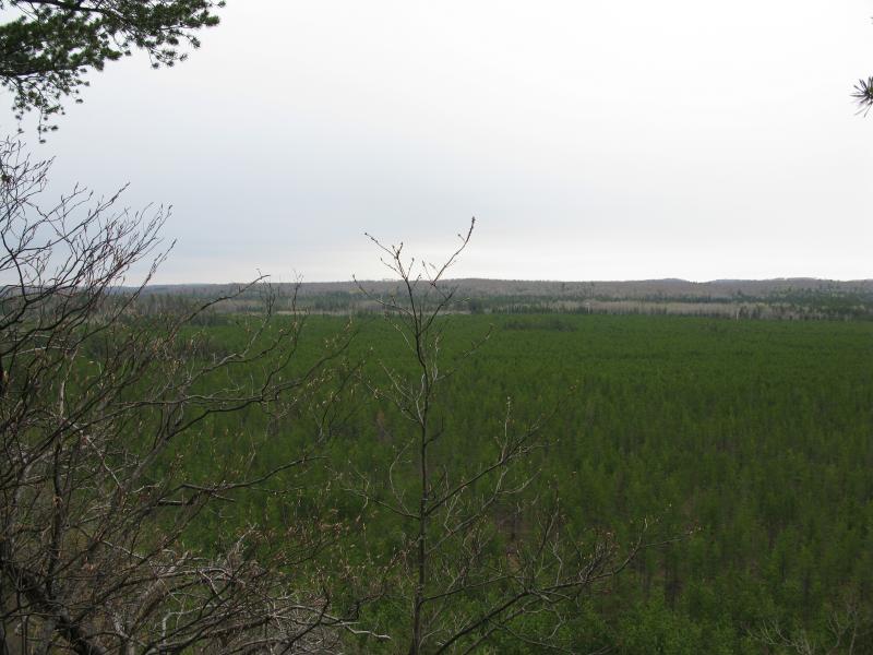
Managed pine forest stretching far away
The bluffs of Diorite are a mere couple of miles from M-95. I could make the drive from Appleton in three hours flat. This made it a great destination for early, pre-sunrise drives or Friday-afternoon camping trips (not that I would camp on CF land&hellip). And these bluffs did make a great starting destination for a while. Three times I made the drive and tried to hike the bluffs and three times I failed. Deep snow pushed me back twice (the snow was up to my chest mid-winter, no joke) and a cutting Labor Day rain/sleet turned me away the third time. There was no sleet or snow today, though. Today was the day I would conquer the ridge.
I left my car down on Wolf Road, nestled between the pines. There had been plenty of logging done here recently. The pines were thinned out, brush still piled between them, and I could see far down the planted rows before they faded into a grey-green blur of trunks. As I headed north up the county road, towards my long climb, I saw that the bluff too had been trimmed back. Clear cutting exposed the different cracks and rises of the ridge in an almost obscene way.
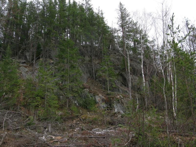
Exposed rock from recent logging
There is a two-track that leads up the ridge, sticking mostly to the north end (away from all the good southern views) and eventually petering out at some tiny ponds near Diorite. It's a mistake to follow it too long, as it wastes little time circling away from the first set of views (a mistake that I've made before). I did follow it for a hundred yards or so to get away from Wolf Lake Road, as there was plenty of traffic today that I wanted to get away from. Trucks and ATVs were zipping back and forth, taking advantage of the mild temperatures and distracting me. As soon as the road was out of sight and sounds muted slightly I turned eagerly to the bluff before me, ready for the slower climb up into the wild woods.
The climb was tough, over needle-moss ground and downed pines, between clustered trunks and huge boulders. I was a bit winded when I reached the top, tired from earlier hikes in the day, but pushed forward until I breached the rounded ridgeline and found the south-facing views. The rock ledge was exposed and the trees far below the sharp cliff, giving me an excellent view of the area around me.
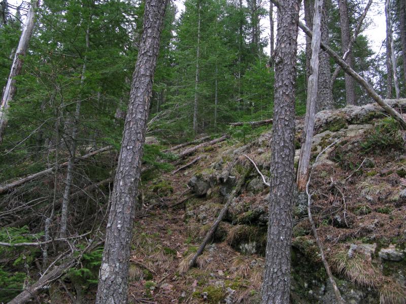
Barest hint of a path in the mossy rock face
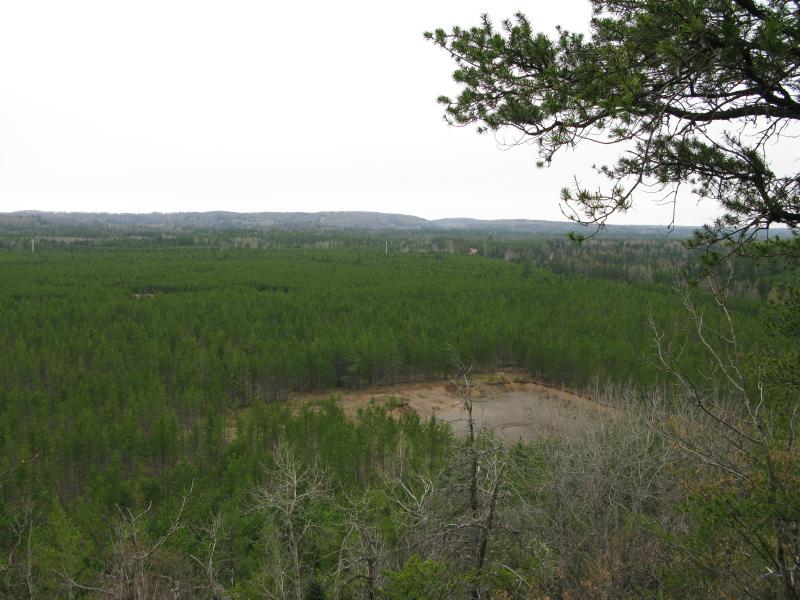
Looking south over the sand pit
Below was the sand pit, near my parking spot, almost close enough to reach out and touch. Green pines stretched off towards the hardwood hills on the far side of 41. Some traffic noise drifted north from the road, limited mostly to logging truck roars, and I imagined that the north side of this bluff (overlooking Brown Creek) would probably be well protected from the highway sounds. I could also make out a few powerlines running perpendicular to the ridge line. The powerlines follow the railroad track, a possible return route. I wasn't too interested in that route yet, not with miles and miles yet to walk. I turned east and followed the cliff ledge.
Sloped ledges are never terribly easy to follow. Ankles and knees have to twist to stay upright, especially with unsteady rocks and mosses, and the ledge is never a straight path. Cracks and small canyons open up, weaknesses in the rock that years of erosion had taken advantage of, forcing a hiker to be constantly climbing up and down. After one of those short little dips I noticed a new few things come into view below me, one to the east and one to the west.
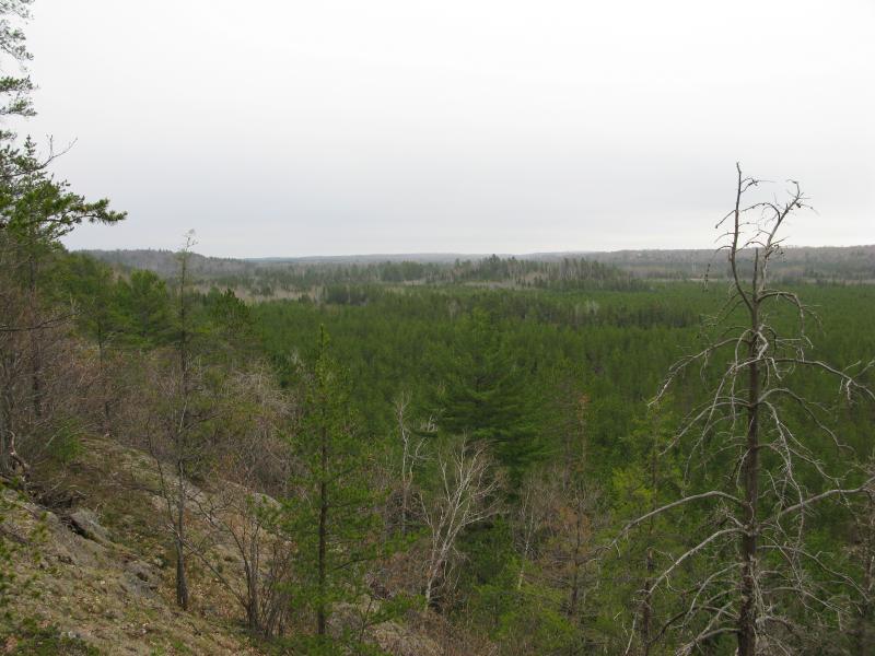
An unsettling scraggly hill in the distance
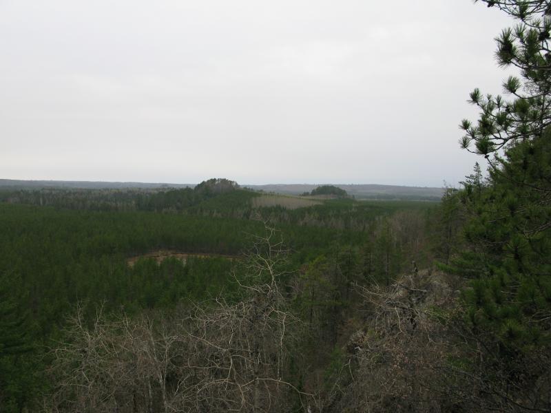
Short rises to the west
Something about the bumps to the east gave me an odd feeling. When I had first left the two track to make the climb I had found a foreboding artifact: the broken blade of an old bowie knife, rusted and dull with edge. Now, looking across the pines and swamp, I felt a cold chill run down my spine. It could have been the bare trees on the bump or the way the green pines fell back from the dead trees. Whatever it was I wished I would have picked up the rusty knife. I haven't bumped into an animal hungry or mad enough to attack me in the woods, yet I had a feeling that something was out there. Nerves.
Shaking it off I headed west. The bare rock ledges gave way to sloped pines and leaf-covered forest floor, allowing me to stride along quickly. I was fairly certain I had surpassed all three of my previous attempts by now, as I remember retreating down a slope just like this.
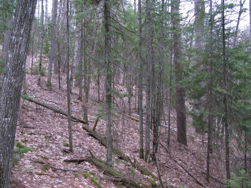
Steeply sloped pine forest
When I came back out onto the exposed rocks I was shocked by how much ground I had covered. The spooky east bumps were now sitting squarely in front of me, some open water sitting between us. They looked even more spooky this close. Scraggly pines poked out from between thin white birch trunks, short saplings crowded around the base. I was looking forward to getting past that bump.
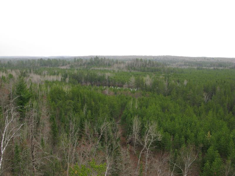
Hint of a reflecting pond below
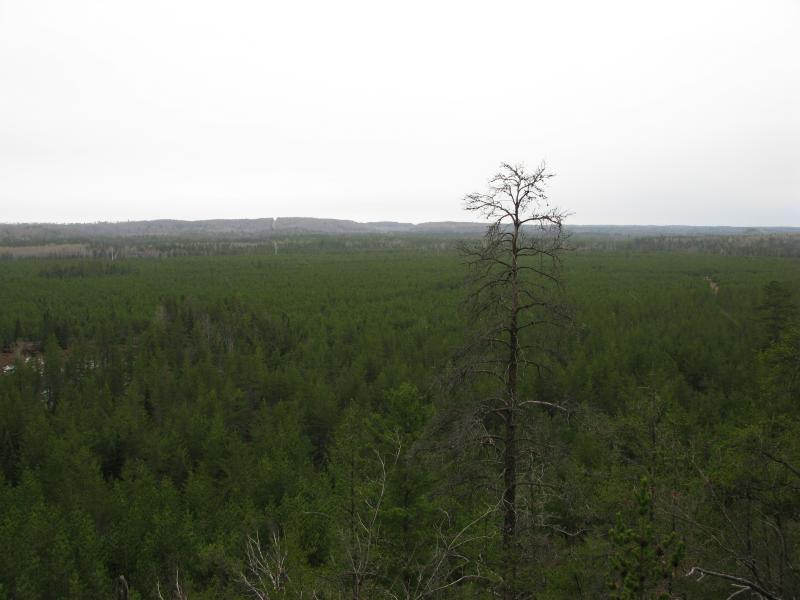
Glancing back at the managed pine forest
A more comforting view opened up to my right, back over the pines on the sandy plain. This was the last time I would be this close to the pines for a while, with the east swamp starting to take over the land below. Also, far off in the hills I saw a thin cut line for a power or gas line or something. After I had drunk my fill of the view I turned away and headed north. It was time to shave some time off of this hike.
There were a few more outcroppings to the east that I wasn't interested in visiting (the views would have been limited anyways) and I had a long route ahead of me. Instead of wasting my time on the ridge I decided to head back to the two-track from before. It had followed me up the ridge, parallel to my route, and should be a short distance from the rock ledge. The woods got nasty inland, probably from more frequent logging, and it was with a bit of struggle that I finally pushed through to the open track.
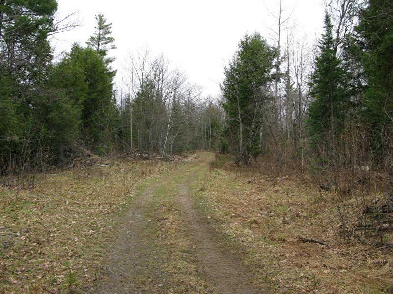
Well laid two-track
I had not expected the road to be this well maintained. The shoulders were wide and tire tracks lacked deep ruts. Happy I turned east, making good time on the road. I passed tall trees and small ponds, getting closer and closer to Diorite. It was with a bit of disappointment that I finally cut off the trail, both from having to leave the easy route and for the sudden sharp hill that rose up in front of me.
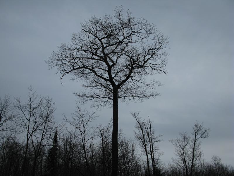
Tall bare tree against the grey sky
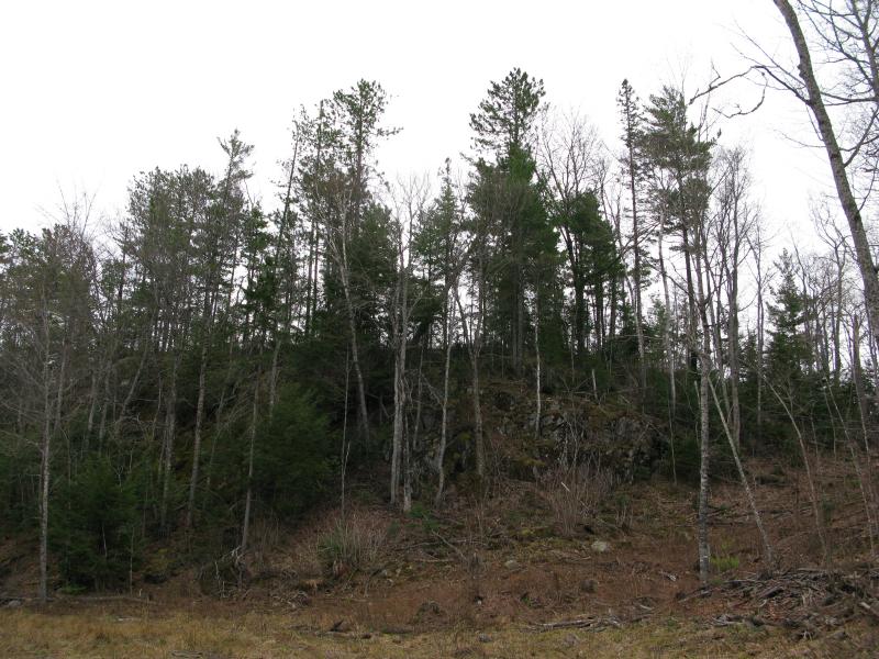
North-facing ridge in the way
Some logging here complicated the climb, logs and branches scattered around and neck-high brambles springing up on the cleared land. I pushed up the ridge, over the mess, trying to make it back to the views south. Some fresh moose droppings peppered the path. I was making enough noise crashing through the debris to warn any animals miles away, though, and held little hope of meeting one out here today.
One overgrown logging track led to another. I walked for several hundred yards, slowly pushing and picking a way through, until the logging thinned and larger trees began to take over. I was finally close to the south edge of the bluff. When I popped out I was again surprised to see how much things had changed since my last overlook.
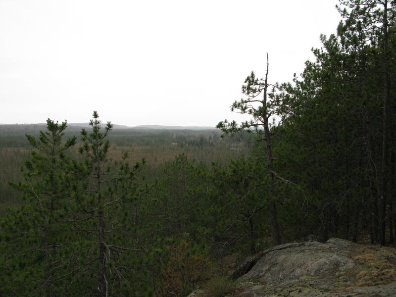
The scraggly hill now passed in the west
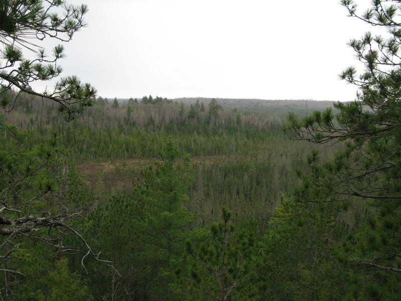
South towards the point
Those bumps that had spooked me, the ones that were far off to the west, were now off to the east now. If they had been a ship sailing through the wet marshlands than it looked like they had passed me by instead of the other way around, crashing headlong into bluff far off to the right. Below me was swamp and tamarack. It did not look appealing. From here there was no glint of waters, no flooding of the lowland, but I doubted I would be able to stay dry on my crossing of the lowlands.
The bluffs do not make a straight line on their stretch from Diorite. There is one large break, an exagerrated 'Z', and I had finished the top (and longest) leg. Now I had to cut down to the lower leg, dropping down to the plains below before climbing back up the bottom leg, and I dreaded the potentially soggy bushwhack.
Veering to the left, avoiding the drop for a while, I tried to round out the trip a bit. Following the sharp bend the entire time was not an option, though I could take advantage of the dry highlands for a bit longer. Slowly I lost elevation, dropping down the sloping woods here and there. After a time I bumped into a small trail. It was too well defined to be an animal track and far too narrow for ATVs. It led down to the plains so I followed, hoping it would keep me above the swamps.
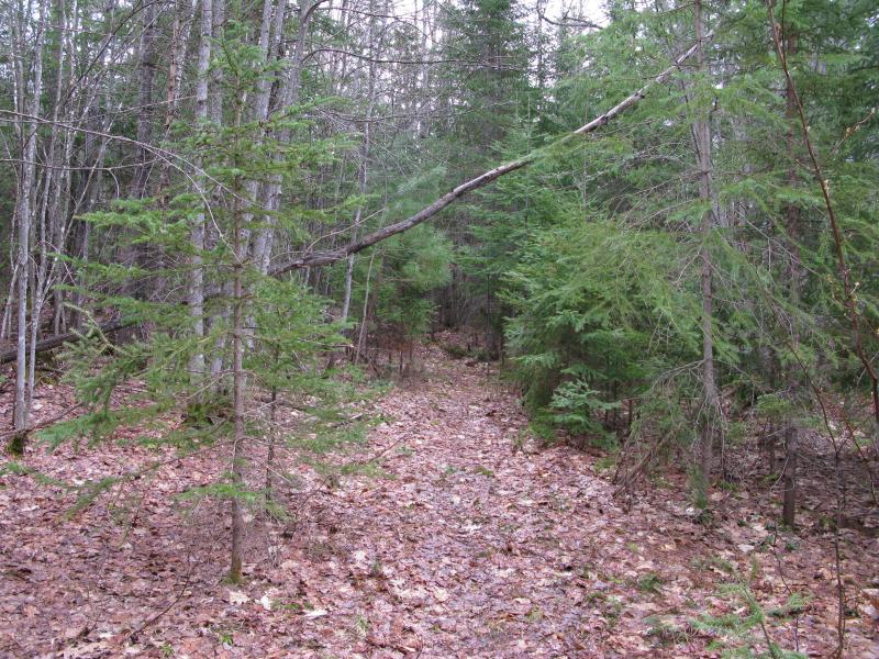
Weird little foot path
The nice footpath led to a hunting blind and beyond, wavering little as it marched south. This was a hunter's trail, probably leading to several blinds and/or feeding spots. I had no idea where their property began. I thought that everything here was CF land. Maybe it was and this hunter is just taking some liberties by building the blind. When the trail ended at a wide loop of a logging track I found the cabin.
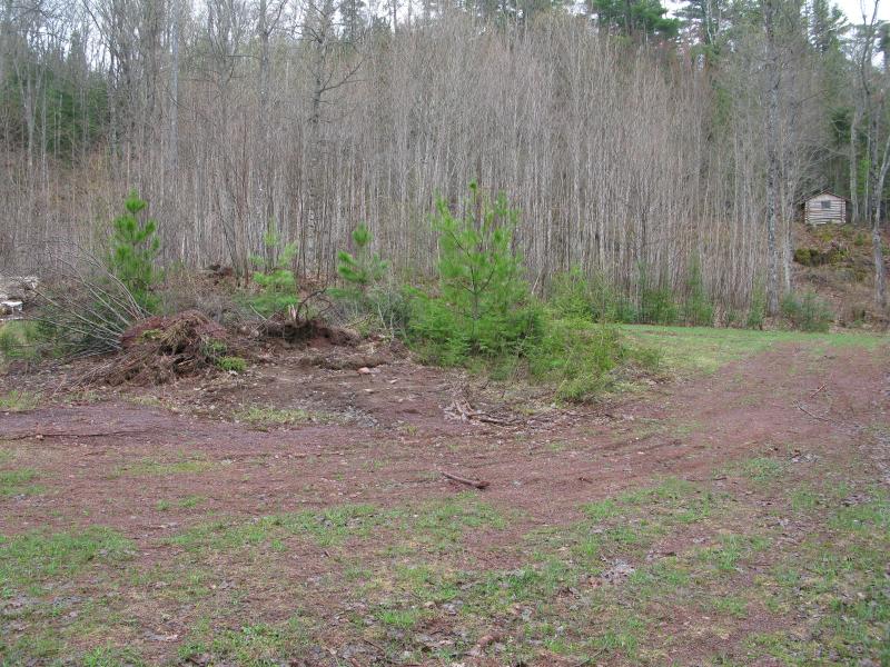
Logging road loop and cabin
The setup was pretty awesome. All sounds from the highway had faded away in this little enclosed area, sheltered within the upper crook of the bluff. I'm guessing the road winds around to Diorite, meaning the cabin is only miles away from 41. The straight cut down would give the owner a clean view down onto this wide loop and see deer below before heading out to their blind. The cabin was small, perched on the side of the rocks, and looked to be in good shape.
I had a hike to get done, though. I had passed the low sections without getting wet, thanks to the hunting trail, and could now head straight up the rocks or to the right. If I headed right, to the point, there was a chance I could get some excellent views of the bluffs I had been on earlier as well as a new look over the swamps. I headed straight up instead. I was getting a bit tired and wanted to get the elevation gain done as soon as possible.
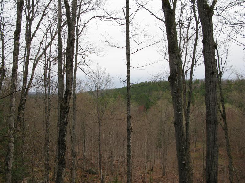
Last look north at the main ridgeline
The cleared out loop did give me a partial view back at the bluff behind me, the deep green pines appearing a long distance behind me. I climbed up the crumbling rock, mindful of the mess that loggers had left behind here, and finally topped the bluff again. There was no view here, just a pile of rocks that marked a possible property line or past hiker's achievement.
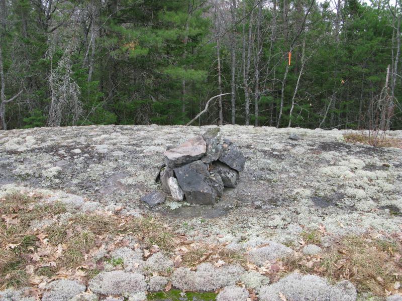
Odd little pile of rocks at the highpoint
I rested for a while now. I had climbed up and down the bluffs multiple times today, and this was (hopefully) the last climb on the hike. The trees around me grew tall, blocking any view by a dozen feet of branches or more, and this little spot felt safe and sheltered. After some refreshments I checked my bearings. I still had a long trek ahead of me, one with new sites and areas to explore. Adjusting my gear I beared into the woods, looking forward to finally seeing the town of Diorite and exploring the remains of the American Gold Mine.


Comments (2)