Copper Camp Loop: Sears Trail
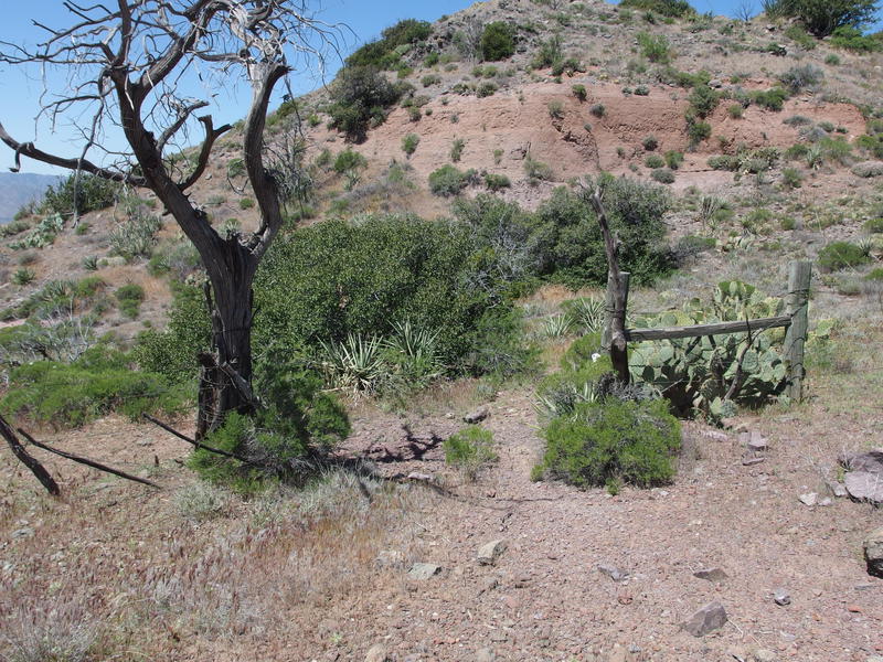
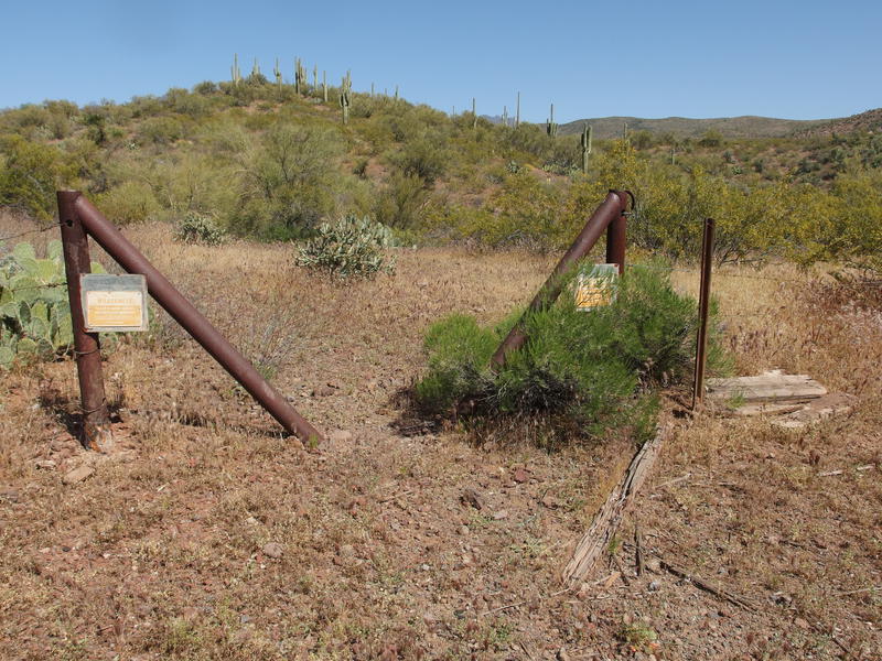
Another old corral sat on the low hill above Sheep Creek and Round Spring. This had to be the fifth or sixth one of the weekend, all of them cobbled together with twisted branches and a rusty strands of barbed wire. At least this one had solid corner posts driven deep into the gravel ground. I had no idea what purpose these corrals served in their heyday. The western Mazatzals were definitely used for ranching, mostly sheep if I'm not mistaken, though these corrals could probably only fit a few dozen animals at a time. Maybe for shearing or branding, or even protecting the young. As I tried to imagine their purpose I circled around the corral and began my search for the start of Sears Trail.
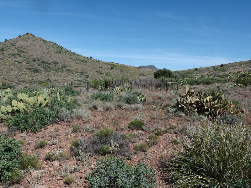
Corral near Sears Trail junction
It was the final day of a two-day backpack and I was already done with one trail today, Sheep Creek Trail. That had been a mostly easy descent off of Squaw Creek followed by a few miles of rocky creek. Now, armed with a decent breakfast in my gut and three liters in my pack, I only had to follow Sears Trail west to a familiar trailhead and dirt road back to the van. A mere eight miles of trail and four miles of road.
Back at camp last night I had pored over my topo map to get a feel for this trail. Sure, there was research done back at home long before coming out here, but there's nothing like a last minute study session before the big test. First there was a few miles dancing along a ridgeline, then a quick descent into a wash. Hopefully I could find some water in there. Next was a few miles of descent into Davenport Wash and that was it. From the map it looked pretty straightforward, though I suspected that a large amount of time today would be spent hunting the barely used trail.
That hunt began early. My path, which I had barely hung onto during the climb up from Sheep Creek, disappeared at the corral. I could make out a cairn up on the saddle where this trail continues north towards Club Cabin and that was it. No trail signs or obvious junction for Sears. I circled around a bit, looking for any old tracks or a pile of rocks buried under a grass tuft, and almost stepped on a decayed old log that looked out of place. Ah, there's the trail sign. I could even make out the word 'Creek'.
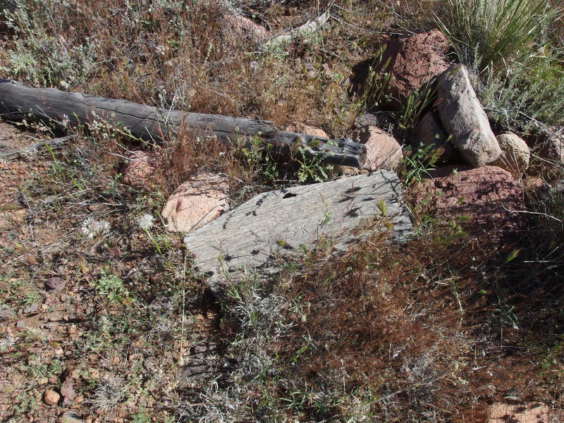
A forgotten sign for Sears Trail
Turning west I took a few confident strides in the general direction of the route and kept an eye out for cairns. There were none to be found. This was going to be fun. It took five minutes to find the next trail marker, completely overgrown by a prickly pear, and that was enough to set me on trail tread for a few minutes before I was adrift again. So this was how the day was going to go.
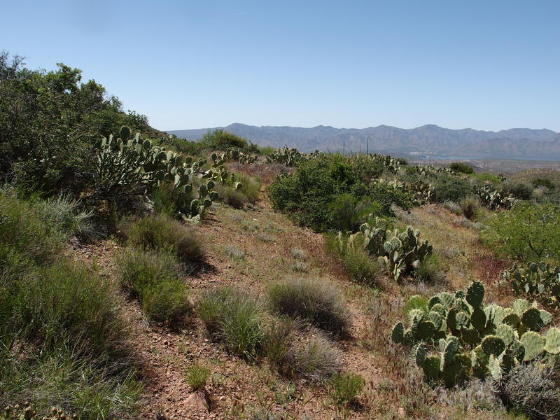
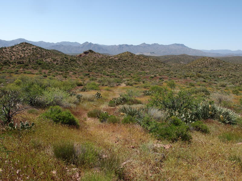
Small, pleasant valley along Sears Trail
At least the going wasn't rough. The brush was clear enough for me to make good time and plan any small zigs or zags around cactus well in advance. When I found a cairn I could usually make out a hint of tread to lead me for a while, and then a patch of overgrowth or game trail would launch me into a diagonal. There were a few curves coming up and I could completely miss out, so if I didn't see a cairn for more then ten minutes I'd pull out my GPS to guide me back.
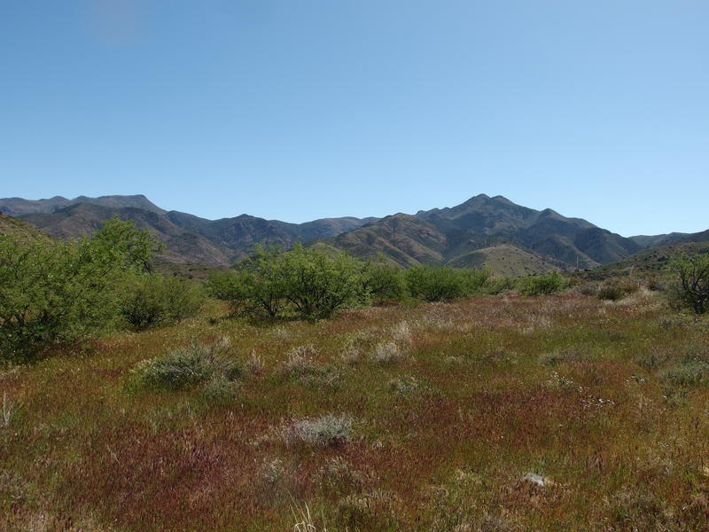
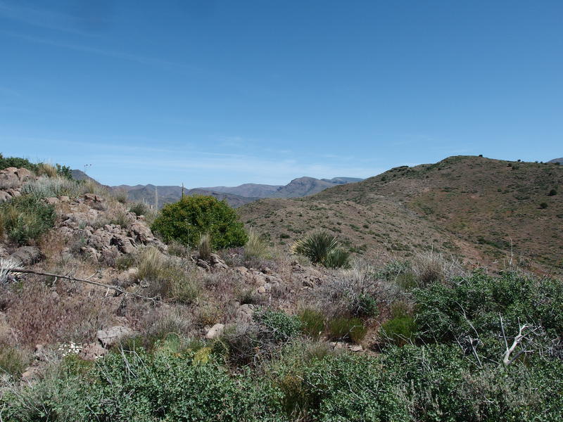
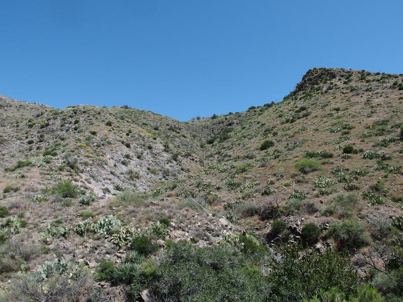
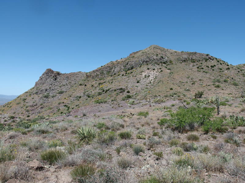
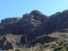
We both made our way west, the path and I, and the whole time I was treated to fantastic southern views of Sheep Mountain and Cypress Hill. As I began to hunger for northern views it was time to turn right and make a short hundred foot climb to the top of the short ridgeline that sits between Sheep Creek and Davenport Wash. There wasn't too much to see from here, a few low hills blocking much of the view, though I did get a few glances of Table Mountain, the massive unnamed hill that sits west of Chilson, and even the ridge leading up to North Peak. Hey, I was just over there a few weeks ago.

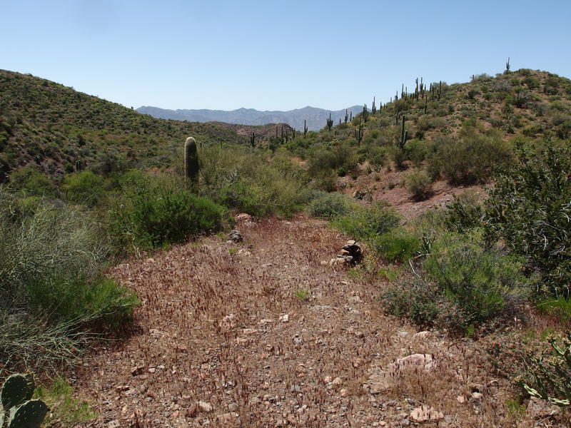
Hot ridgeline section of the trail
Looking northeast towards North Peak and the Park
The exposure was starting to get to me. This was annoying, as I just took a lengthy breakfast break and had planned on pushing quite a bit further before the next rest. Plus I had some fun options coming up soon. A few hundred yards to the right was a frustrum marking the county line between Yavapai and Maricopa and down to the left was a promised spring. Optimistic Jacob wanted to do both. Realistic Jacob wanted to do neither and stay on the trail. I settled on a compromise and chose to do the wiser detour, a drop down to Lizard Spring to pull some extra water.
Old fence near Lizard Spring
A fenceline marked the decision point and I began looking south for any sort of path or trail leading down to the spring. Nothing obvious appeared so I began weaving down next to a steep drainage, crossing it when it was convenient and dropping directly down when it wasn't clogged with vegetation. I did find a few hints of an old path that was deeply eroded and was more dangerous to follow than bushwhacking down the hill directly. After two white-knuckle climbs down rocky crags I finally reached the thick, lush green above the promised waypoint. Crawling under the worst of it I finally reached the main drainage and found a steady flow. My GPS told me to go downstream another twenty yards to find the true source but that area looked terribly thick so I called it good.
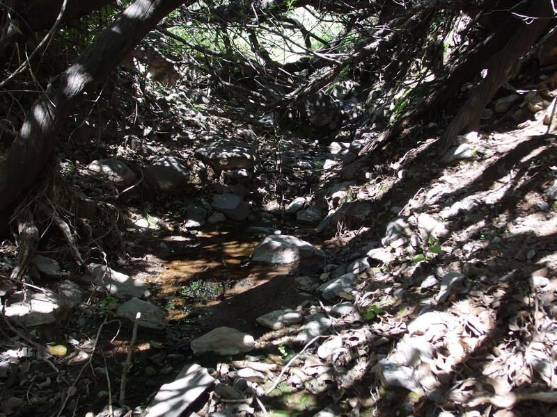
Slow seep above Lizard Spring

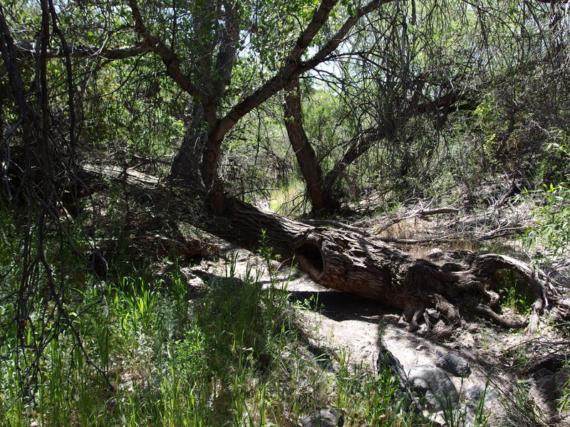
Awesome, ancient tree branches above the spring
Huddled beneath a dusty, twisted tree that looked older than time itself I quickly drank a liter of water, filtered the dirty liter I was carrying, and then refilled the dirty. It was not any cooler down here and the dust exacerbated the dryness in my throat. I did take some time to eat some salty snacks. Cramping had not been a problem this trip, at least not in my legs, and I wasn't about to let my water or salt levels drop now. My hands and upper arms had felt some clenching due to all the water filtering through a Sawyer mini, though I could deal with that.
Back to full capacity I began crawling out the opposite bank. High above me the trail had continued west and I didn't feel like retracing my route up just so I could cover a short bit of missed distance. There was one difficult section where a Palo Verde was growing into a massive prickly pear bunch and there was no way around, so I throw myself into the thorniness of the tree to avoid the cactus. Half-pushing, half-climbing, cussing when a thorn ripped through my clothes, I made it past and then only had a hot two hundred foot climb to get back on the trail. Not quite sure this water source is worth the detour.
A hot climb back to the trail
Back on the trail, hopefully
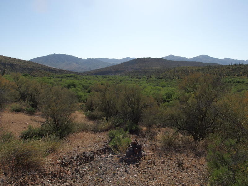
The noon hour had snuck past me while down at the spring. Not too much of a concern, though I still had a long ways to go to reach Horseshoe Dam and the van before evening. I was still wary about trail conditions, unsure if I'd continue wasting time hunting for cairns or worse, and there was also a minor descent to deal with as well. Specifically, I had to drop over two thousand feet to reach Davenport Wash. Exactly how my knees would handle the downhill was a huge unknown.
Headings towards Horseshoe and home
Easy, well-marked section of trail
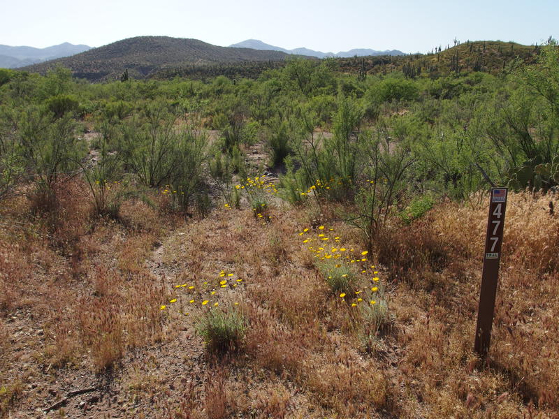
Neither one of my concerns were warranted. A well-marked trail showed up as soon as the descent start and, with the exception of a grassy plain at the first wash crossing, I was able to easily track it through the desert. Even the confusion on the grassy plain was probably more my fault than anything else. I followed a path due west, traveling well past the last cairn in sight, and then had to use game trails to make it down into the wash towards a large heap of rocks that was easy to pick out. The big views of Horseshoe Reservoir had distracted me.
From that first wash the trail swung along the side of a large unnamed ridge, weaving in and out of drainages, before easing down a slope. The country was pretty enough, filled with saguaro and spiny trees and a few broom-like trees that I couldn't name. At one point I checked my GPS and noticed that the charted route had already entered a tributary of the wash to my right and that this path I was on ran parallel on a slope. I didn't mind. My knees were handling the descent well and the going was almost too easy.
Shade in the unnamed wash
I entered the wash near a huge, gnarled tree that provided plenty of shade. I was tempted to stop and relax under the trunk but decided to keep going, leaning on a hope of water within this sandy-bottomed creek. There was water, a few seeps dripping along the way, and I ended up passing them by. Everything smelled swampy and had thick mats of algea growing over it. I wasn't that thirsty yet.
Alternating between soft sand, boulders, and grassy clearings, the wash was simple to navigate. I wandered out once, lured by a few cairns leading up the bank, which quickly caught me in a quagmire of catclaw and thick brush. After that I stuck to the wash. This section was not long, anyways. Thanks to the cairned path sticking up on the slope for the extra distance I had less than a half mile to navigate in here.
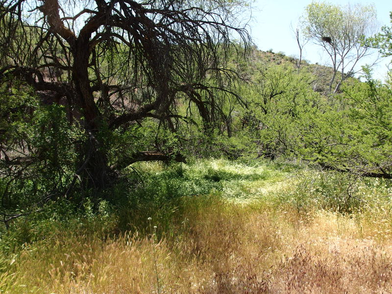
Good place to stop for lunch
Before leaving all this rare shade I just had to stop for a break. I found a grassy clearing within sight of a large hawk's nest (or maybe falcon or eagle, I'm not sure) and plopped down, pulling out a liter to drink and munching on crackers. Two large birds circled ahead, uncertain of my intentions so close to their home, though they seemed content as long as I wasn't moving. Legions of gnats swarmed around and the buzz of larger insects lulled me. If it wasn't for the growing afternoon heat and the miles of hiking ahead of me I could have easily drifted off.
Instead I got up, packing my gear back up, and followed a lone cairn and my charted GPS route up a tributary and onto the bank. And soon entered a hellish world of bushwhacking. Palo Verde trees reached across any hope of a trail, with cholla and prickly pear hiding behind swaths of wildflowers just waiting to leap on me if I got too close. I crawled, hacked, and pulled dozens of needles out of me as I stubbornly pushed west. How could the trail, which had been so nice coming down from Lizard Spring, turn into this nightmare?

Terrible bushwhacking section through Palo Verde and cactus
The answer was simple: I was not on the trail. One moment I was crawling on all fours under a thorny tree and the next I was standing confused on a wide, cairned tread. Wide enough to be a two-track at that. Later checking showed that I was less than twenty feet away from this trail the whole time, and was hacking diagonal to it, and that I had just left the creek too early. I stood up, looked around embarrassed, and then pushed onwards on a painless journey.
Old two-track leading the way out
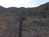
Heading down the gentle slope through the grassy hills, I passed an old corral and then briefly bumped up and down some sandstone rises. I passed some grassy plans and some sandy flats, a toppled saguaro and a gnarled tree, and even an overgrown tank. Then I was at the wilderness boundary. I stopped and stared for a moment, mentally connecting this rusty gate with the a line north to the gate on Davenport Wash Trail and south to the gate on Copper Camp Trail, and then stepped through. This wilderness boundary sign had been knocked over and rotted away years ago and was barely distinguishable from any other forgotten ranching remain.
Wilderness boundary fence along Sears Trail

Towering chalk formations above the wash
Now out of the wilderness proper the trail made one confusing split, with the cairns leading to a footpath on the right and the two-track heading to the left, though they soon rejoined and descended as one into Davenport Wash. Here there were towering cliffs of chalk, cut from a time that this wash ran heavy, now standing over a dry and dusty valley filled with low trees. And here I ran into a tough decision. The two-track and my GPS continued straight ahead, and I knew the trailhead was less than a mile away, yet the cairns made a sharp left turn. I vaguely remembered mention on a website forum that the road was terribly washed out and the trail was routed to avoid the confusion. It just looked so much easier from here. With a deep sign I turned left and followed the cairns.
The re-route of this trail followed the bumpy bank of the deep wash, winding back and forth and climbing up and down small drainages. Stack enough twenty foot climbs on top of each other and it will really wear on the legs. I tried to keep my spirits up with the knowledge that I was almost there, that soon I'd be back on 479, and this winding trail kept grinding me down. Slogging along I decided that it was time for a break, my final rest before the last push, the one I had saved a luxurious two liters for.
Painfully close to the trailhead
Finishing off my water and all but two snacks I got back to the trail. My thermometer was creeping close to a hundred now and, optimistic about the final stretch, I had rolled up my sleeves and converted the pants to shorts. A few minutes later and the reroute joined with 477 a few dozen yards away from the trail sign I saw yesterday, and then it was back into the wash where no car could survive.
Instead of crossing right away I stayed in the wash, curious about a spring down here. On the map it was marked as Sears Trailhead Spring and it was a short distance from where the road came out. I couldn't imagine a spring in this dusty wash. As I bumbled along under a grove of trees, rustling through piles of dead leaves, a sudden rattle made my heart leap into my throat. The rattler was a good twenty feet distant and it completely shocked me. I took one zoomed-in photo before finding a swampy, disgusting seep right where the map claimed it would be.
Back on the overgrown FR 477
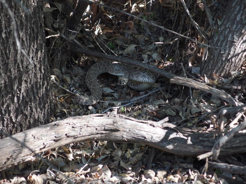
A friendly watcher over Sears TH Spring
I noticed that the road was nearby on the bank so I climbed out of the wash and looked around. There were cairns and a footpath leading off the road on the other side. Perhaps that re-route I had heard about extended to this side. Curious I left the road, following the cairns through foxtails and trees as it zig-zagged from one side of the road to the next. Things continued to get thicker and the foxtail seeds collected in my socks so I eventually bailed. I'm not sure how I missed this path on the way in, nor do I know if it leads to a 'real' trailhead instead of 477. For now I was done. One last look east at Davenport Peak and Sheep Mountain and beyond and I started booking it out.

One last look at the Western Mazatzals
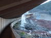
It was almost six by the time I reached the van on the other side of the dam. The road hike had had a few surprises, with a large amount of traffic in and out of Johnson Ranch and a crowd of tourists checking out the dam flow. At least the crowd made a wide berth for my sweaty and stinking presence. Returning to the car I made a quick wardrobe change, drank another few liters of water stashed in the car, and then started on the bumpy drive home.
Copper Camp Loop was done. Thirty-three miles over dirt roads and three overgrown trails in the western Mazatzals. It didn't go as smoothly as I thought it would, nor did I make the pace I was aiming for. I have longer routes planned, more miles and more elevation gain, and it looks like I was going to have to adjust my planned schedule to make them work. At least this loop was done, the second successful Mazatzal hike of the year, and as I made my way home I gave myself a mental high-five for somehow surviving another solo outing on remote trails.
Comments (0)