Cabin Loop: Up the Mogollon Rim
The warm smell of pine rushed around me and filled my mind with dizzying nostalgia. It smelled of home, of the rich forests in the Upper Peninsula, and for a brief moment I was back on the Yellow Dog Plains. Then I was back in reality, back in Arizona, and I reached into the jeep to pull out my backpacking gear. I had a long hike to tackle today and I didn't have time to drift back into pleasant memories of Michigan. Daylight would be fading too soon from the forests of Coconino.
Looking up at the rim
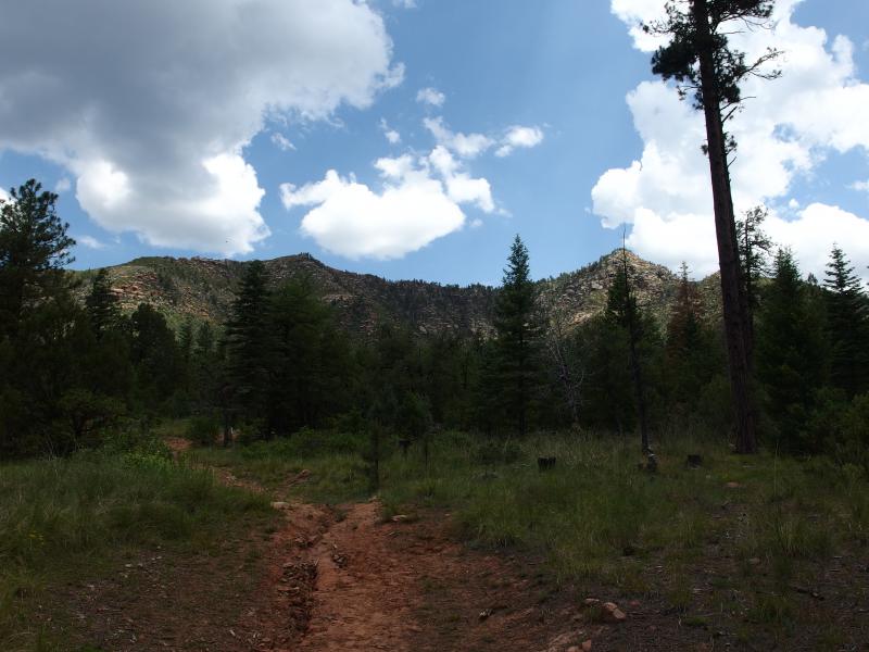
Leaving my car at Washington Park trailhead I headed along the Highline until I reached Colonel Devin's cruel climb. Highline looked like an interesting trail. See, I was right below Mogollon Rim, which is located on the southern terminus of the Colorado Plateau. Above the Rim, on the Plateau, the land is (relatively) flat and stretches far to the north and east. The Highline Trail never climbs past this rim. Instead it runs parallel, climbing up and down a series of ravines and creeks that flow down from the heights. Fifty long miles of continuous little climbs seemed like it would make a heck of a weekend trip (or good practice for a Grand Canyon Rim-to-Rim-to-Rim).
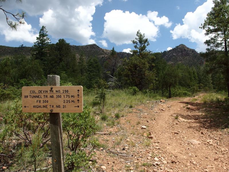
Helpful sign for Highline hikers
Ridgeline still off in the distance
My route today started with Colonel Devin, though. I left Highline and started up the thousand foot-plus climb to the Mogollon Rim. It started innocent enough, with a series of low hills that climbed more than the dropped, but the towering rocky walls on either side of the little gorge showed off just how much I had to go. The headwaters of Verde bubbled off to the side and a low whine of insects made for a lovely melody as I sweated under my backpack and a hot sun. And then the rain started.
There had been rain in the forecast. I had held some hope that it would hold off, that I would get a clear day of hiking, and the skies did not have too many clouds. I guess they had enough. The sprinkle soon turned into a furious summer downpour. I reached into my pack side pocket and pulled out a poncho. That's right… I was prepared for once. This was no average hike today.
Today was the start of my first real backpack. I've been on a lot of fun hikes over the years and have hauled my tent and gear in to some great camping spots - the shore of White Deer Lake, Raven's Nest, the shoulder of Ives Mountain - but I've never actually backpacked. The longest I've ever hauled my gear in was seven miles, where I set up a base camp and dinked around in little loops. This was a whole new ball game, so I had a wealth of supplies and food that I somehow kept down to forty-odd pounds.
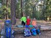
Now kept reasonably dry under the poncho I continued the tough labor up the hill. On the way I passed a small group of day hikers watching for butterflies. We chatted for a brief time, exchanging information and small talk, and then I left them to their wet nature seeking. The rain stopped after another twenty minutes and I repacked my poncho.
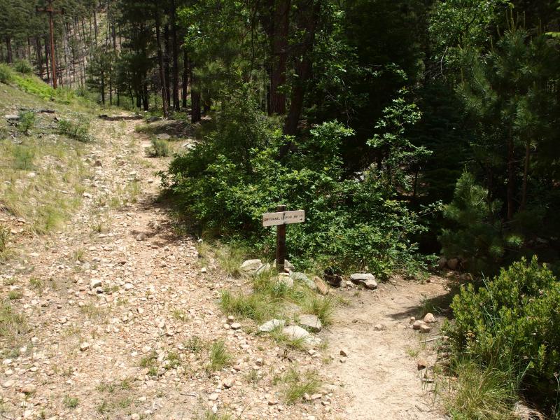
Fork for the railroad tunnel
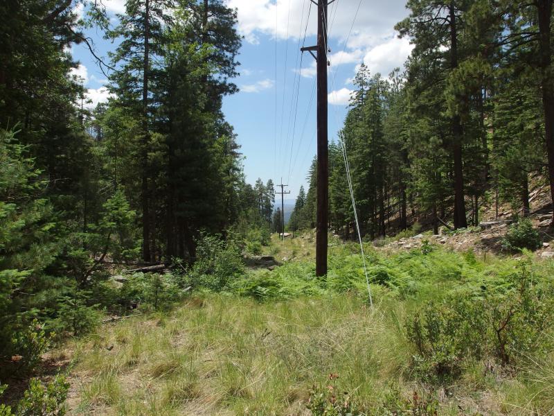
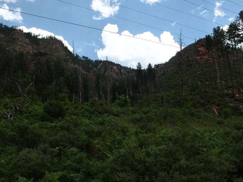
Powerlines hanging overhead
This Colonel Devin trail was not terribly exciting. There was one fork along it, a side destination up to an old railroad tunnel (I have no idea what a railroad tunnel would be doing this far up the Mogollon Rim), and I've heard conflicting information if this fork actually goes past the tunnel all the way to the top. The main trail stays under a long series of powerlines. The wide clearing around the lines did open up some mild views above and below. I wasn't too interested in these views, as I figured that I'd see plenty of good views on the land below the Rim once I broke the crest.
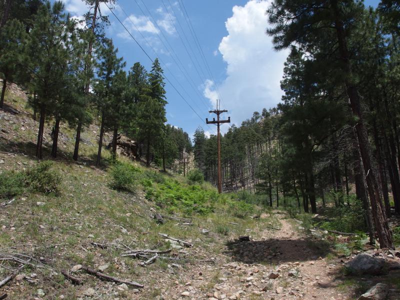
More climb left ahead
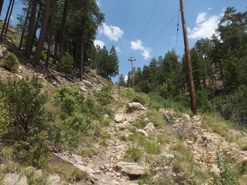
Trail getting steeper
Almost as if sensing my mild displeasure the trail suddenly switched tactics. Where it was once a gentle series of climbs along a hard footpath there was now a sharp grade over broken rocks with soft sand mixed in an evil way. With my heavy pack I was able to gain a few dozen feet each push before stopping and catching my breath. There's nothing like backpacking on drained and wobbling legs.
One of the reasons I had decided to take this route was to drain a good chunk of my energy before starting on the true hike above. I wanted to start from an even baseline. I had plenty of food, around 3000 calories for the next two days, and this hike would help me determine if that would be enough to keep me going. If I could drain any stored up energy then I'd only have the food in my pack to last me the next day and a half. Oh, and this route saved me about thirty minutes of driving, something which seemed trivial compared to how long it was taking me to climb this.
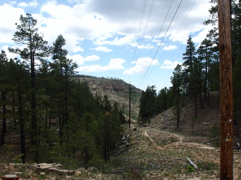
Finally up on the rim

The wide dirt road to General Springs
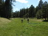
Seventy minutes after starting I broke the crest and was on top of the Mogollon Rim. I was sweaty, my legs had a nice dull ache, and only two of the my thirty miles were behind me. I stood and looked around at what lay up here. I was on the side of Rim Road, which follows the crest from 260 over to 87, and a small parking area sat off to the side. Another road led north with the powerlines. I took a few deep sips of water and headed north on the wide sandy road, finally starting on the first leg of the Cabin Loop.
The Cabin Loop was the real destination for this weekend. There are a number of historic cabins connected by a series of trails that make a nice twenty-six mile loop. Well, the loop is cut down the middle by Houston Brothers to form two separate loops, but I was only interested in the outer perimeter. This loop promised water from a few springs and deep creeks, shaded pine trails, and the last leg would give me views out from the edge of the Rim. It seemed like the perfect route.
It didn't start out so perfect. There were no markers or signs off of Rim Road, no indication of where to go, so I simply headed north. This road was annoyingly wide and well-used and had both powerlines and a water pipe running along it. I tried to ignore how built up it was and just followed it in the hopes it would lead me to the first cabin, General Springs.
Grassy spring at General Spring
Wide clearing around the cabin
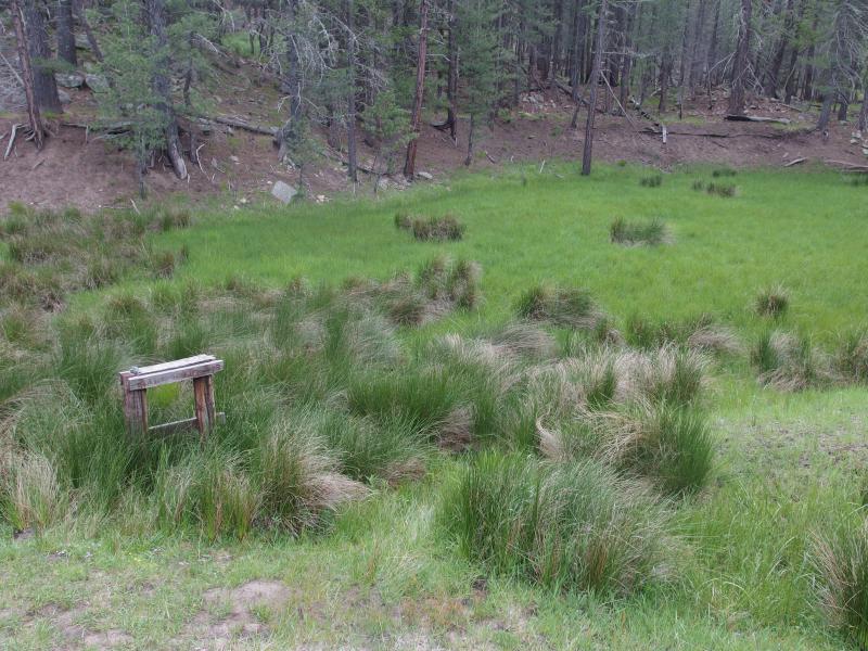
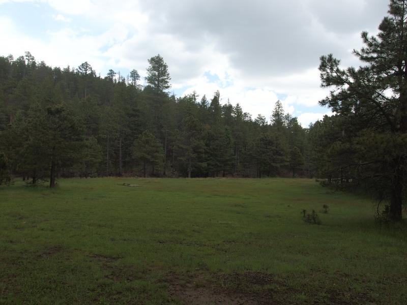
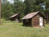
Before the cabin showed up two clearings opened to the right. A small, grassy dip showed off the possible location of General Springs itself. The small wooden structure was exactly what I had seen from a photo of the springs during research for this hike and could mark where people from long ago had brought water up. The next clearing was much larger and flat, most likely man-made as a grazing patch for horses. At the far side of the second clearing was a tiny old cabin.

The little General Springs Cabin
As I approached the cabin I noticed a large group of people who had driven up the road were milling around about. Instantly feeling out of place with a backpack on my back and sweat running down my face I snuck up into the cabin and pulled out some food. It was time for lunch anyways.
As I rearranged things a few of the visitors swung inside and we chatted a bit. From a friendly lady I learned that it was supposed to rain two more times today, once now and again around five in the afternoon, so I pulled out my poncho. With some lunch-like snacks within reach I headed out and started circling around the back of the cabin in search of the trail under the growing sprinkle.
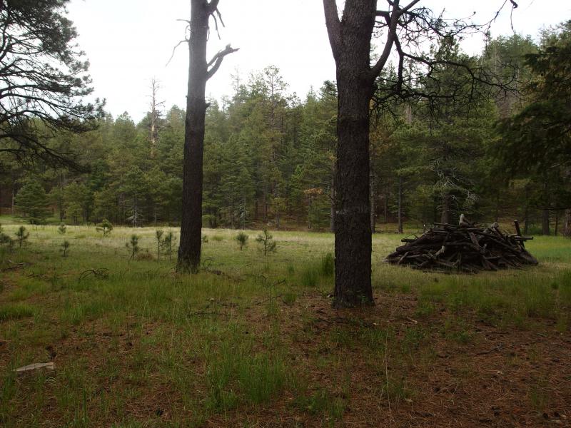
Tore down building behind the cabin
The trail wasn't too hard to find, a wide footpath at the back corner of the cabin, and I passed by an old pile of logs that marked where another structure used to stand. The light drizzle strengthened into a hard rain and I was thankful of the friendly lady's news. Munching on crackers and walking on flat ground I made quick time under the quick summer storm, heading north on the Fred Haught Trail to my planned campsite near Pinchot. I still had many miles before I could set up camp for the night.
-
Jacob Emerick
Jul 23, '15
Oh man, Dave that sounds awesome. You did a Porkie backpack last year, didn't you? I seem to remember you posting a rather engaging series that involved a lot of wet weather.
-
dcclark
Jul 24, '15
Yeah, we did a 4-day Porkies trip last year. We did 8-ish miles per day, but it started to wear on us at the end. We learned our lessons and added in a rest day right in the middle this time. By that point, we'll be camped at a major crossroads in the trails, so we can go anywhere we want that day -- or just rest and recuperate, as the case may be. My hope is to see some more waterfalls.
-
Jacob Emerick
Jul 27, '15
Ah yes, four days in the Porkies sounds lovely, though the rain and bugs sound annoying. And there's a lot of elevation change to deal with depending on your route - and the route y'all did had a lot of elevation change. You did all cabins though, right? So you didn't have to haul hammock/tent along?I'm planning on doing an Isle Royale in September. Figured if I'm going to spend a week in the woods I might as well go big. Expect to read some great stories of a more humble Jake in the coming months.
-
dcclark
Jul 28, '15
Yep, the cabins make life a lot easier. It only removes 3-ish pounds (the tent) but adds a lot of peace of mind.Isle Royal will be awesome! What route will you take? I've never yet been there -- it's on the list, but I have no clue when.
-
Jacob Emerick
Jul 30, '15
Ambitiously I'm hoping to do a full loop - start at Rock Harbor, loop around Minong to Windigo, circle around Feldtman and return. If I'm not feeling it, tho, it'd be pretty easy to cut out huge swaths by Hachet or along the Greenstone.Had some struggle planning the route. Some of the bushwhacking potential in the northeast was really appealing, heading out to those fingers, but I wanted to see as much of the island as possible. There's a good chance that this will be my only visit to Isle Royale so I want to make the most of it.
-
dcclark
Jul 30, '15
That is ambitious. To do a full loop, you'll need Minong ridge and/or Greenstone ridge... I've heard both of those called the "hike of a lifetime" on their own!Needless to say, I'm looking forward to hearing about it.
-
Jacob Emerick
Jul 31, '15
I've been going over the route at least once every two days... Trying to optimize the coolness factor (as many shoreline campsite as possible) while keeping in mind reasonable 'bail' options. So hopefully at some of it will turn out to be good :)
Add to this discussion