Beyond Fish Cove
A long year has passed by since I hiked around the tip of the Keweenaw, one of my most ambitious adventures to date. Not only was it a rather long hike (around twenty miles in length) but it took me to many locations I had never seen before. Horseshoe Harbor, Keweenaw Rocket Range, Schlatter Lake, High Rock Point, Keweenaw Point, Keystone Bay, East Bluff… all these spots were only spots on a map before this hike. There was only one section of shoreline left after that epic journey to visit: Fish Cove and Big Bay.

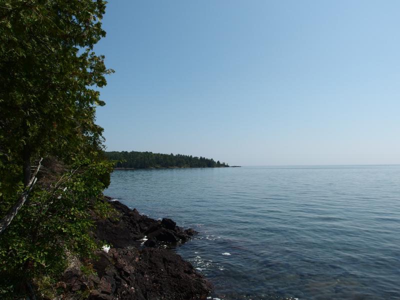
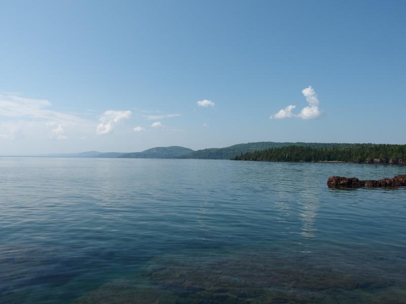
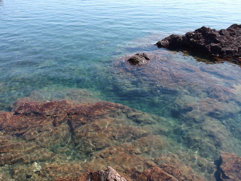
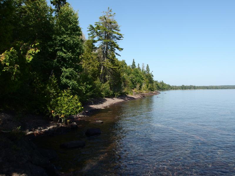
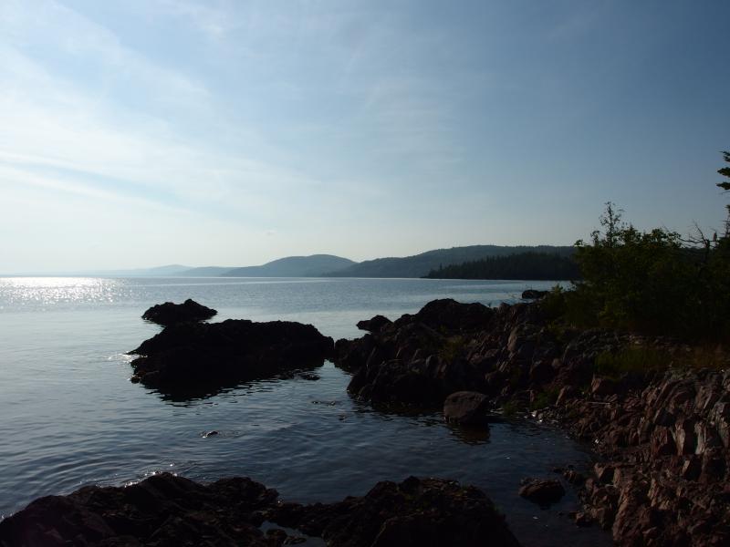
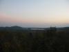
First cove past Montreal Falls
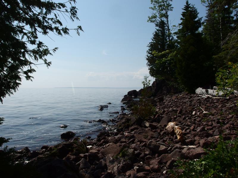
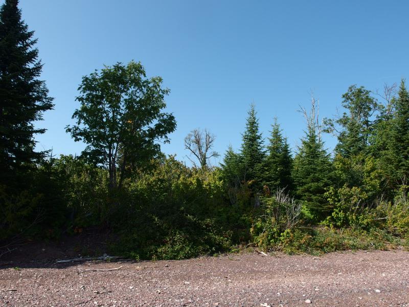
From the steep shore of Bare Bluff the land stretches eastward in a series of bays and points, few of them named. First there is Smith's Fishery at the end of a shallow and broken bay. Next is the jagged swoop that leads over to Montreal Falls, with several little coves and beaches along its length. Just past the waterfall is the deeply cut Fish Cove that ends in a sharp and rugged point. Beyond this point is Big Bay, then Keystone Point, and then Keystone Bay. The shoreline looks like a scallop compared to the smooth line of the northern tip.
Hauling my camping gear from Smith's Fishery to Montreal Falls was an easy trek. I had walked this path many times before, though it had been a good five or six years since my last visit. There were a few weird turns that I did not remember, new footpaths that swung around deadfall or away from the eroding coast, but they were easy to track.
At the falls there was an interesting group of people. For one family from Lake Linden this was an annual late summer trip, though the father was thinking of trying a kayak around the tip next year. An older, spry lady was making a day trip from her cabin in Ontonagon and was very excited to hear about the two upper falls. I chatted with them and a few others before crossing the river and continuing eastward along unknown land.
There was a trail here, newly slashed and broken by eager four-wheelers, that was not easy to walk along. Plenty of branches lay beneath the crushed green to keep my feet unsteady between the rocky spurs. When I finally broke out onto a wide, open cobble beach I wasted no time in dropping my gear. My back was soaked in sweat and my knees protested against the heavy load and rough terrain. This seemed like a great place to camp for the night.
After a short break to munch on some food and learn the surroundings I came to a few conclusions. First, the ATV trail must come down around the two lakes of Section 26 to this cove before following the shore to Montreal Falls. If I wanted to remain on the shore I would have to leave the ATV trail. Second, Fish Cove was a short skip to the east, just past an odd rise of elevation. A short skip of shoreline hacking.
Long point peaking out ahead
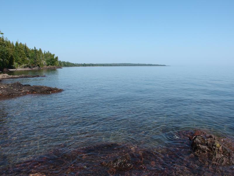
The going was easy, blocky rocks letting me hop and jump along the water's edge. I felt light and nimble going without the heavy pack on me. I was carrying a small backpack with food, water, and a filter for the hike. Depending on how things went I could add a lot of distance to this adventure and wanted to be prepared. It took mere minutes to reach the first of two beaches of Fish Cove.
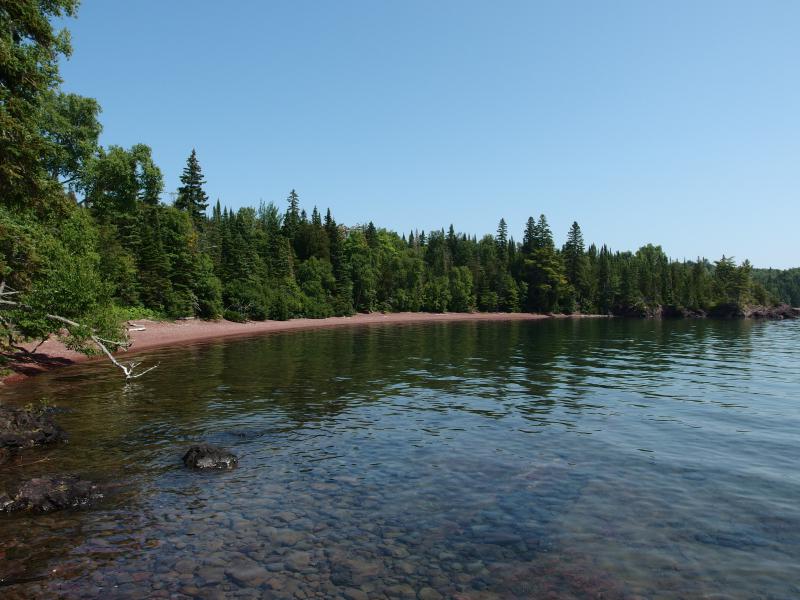
Small, inviting cove
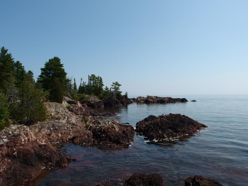
Along the real Fish Cove
Cobblestone beaches shrilled underfoot as I tromped forward. I can't decide if I like the sound or not. On one hand it fills me with a certain amount of nostalgia, reminding me of past hikes in the Keweenaw. I haven't walked on many other cobblestone beaches. On the other hand, though, it's loud. There was no way I could sneak up to wildlife or pass by undetected with this cacophony announcing my passage.
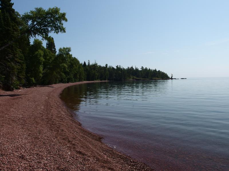
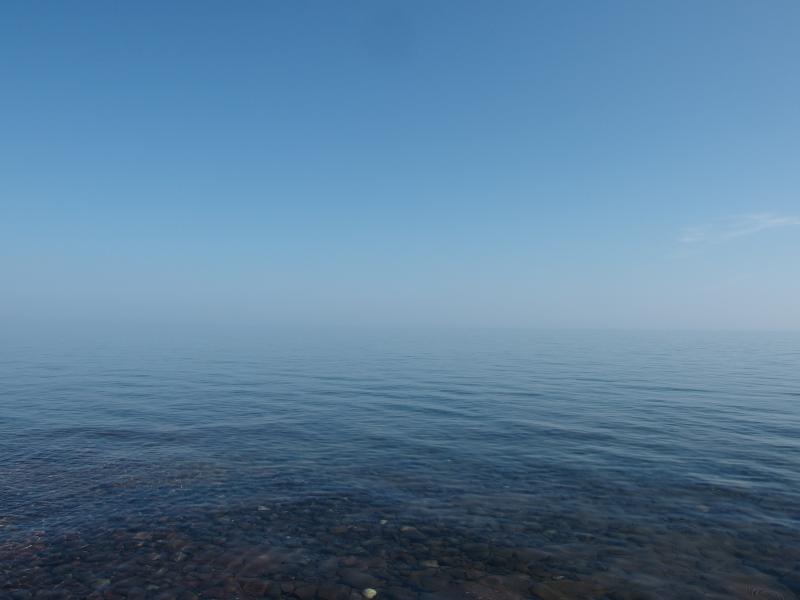
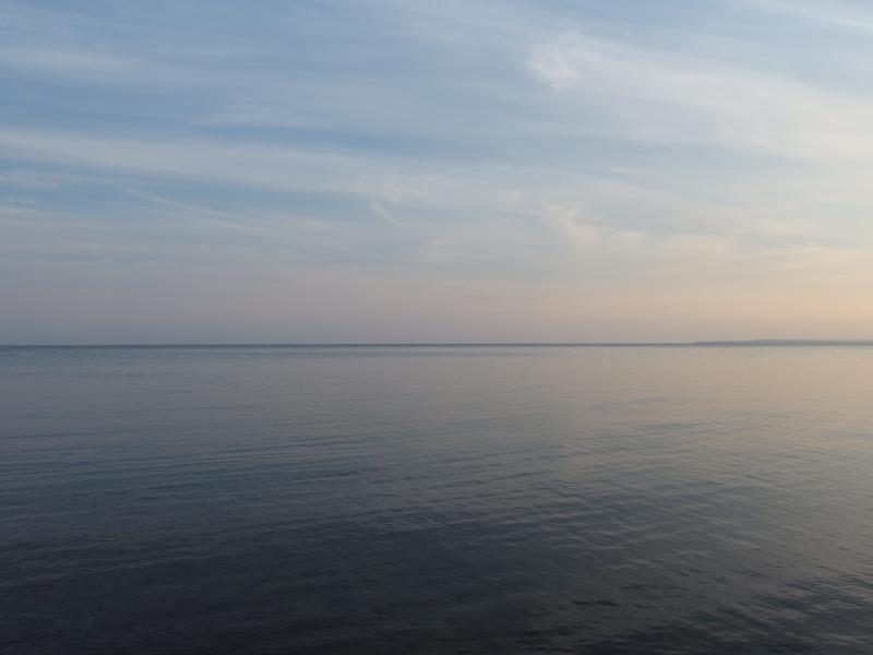
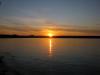
Looking back over mirror waters
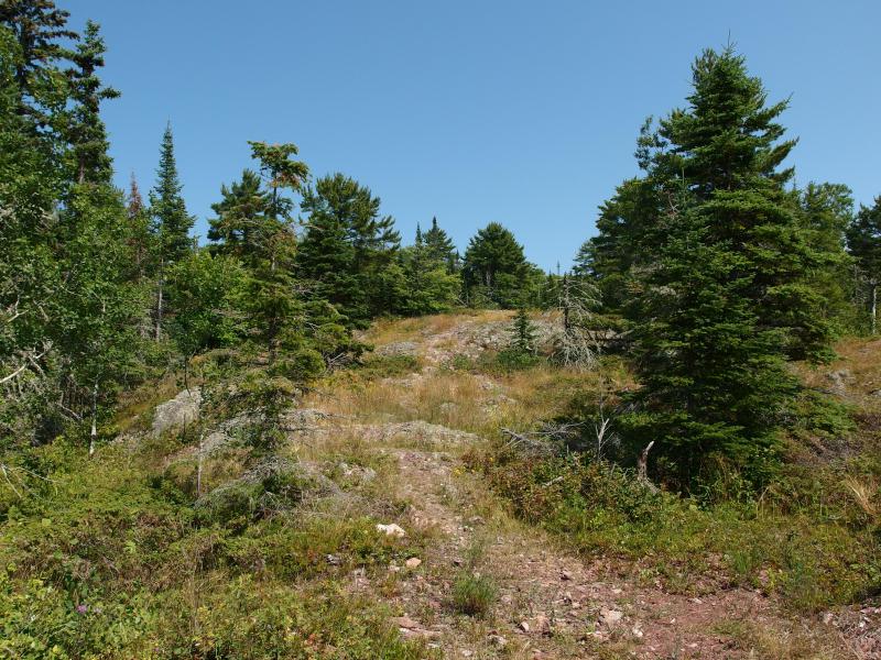
Soon I reached the far end of the beaches and looked back. Bare Bluff made a strong appearance to the west, as well as several other hilly bumps of forest. Bohemia might be out there, as well as the unnamed rise near Smith's Fishery, but it was hard to tell with the distance. The path ahead skipped and jumped over rocks, climbing quickly from the edge of the lake, until I was following a narrow path through scrubby vegetation. This must be the point.

Narrow footpath through the green
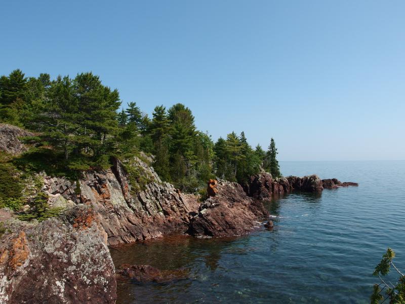
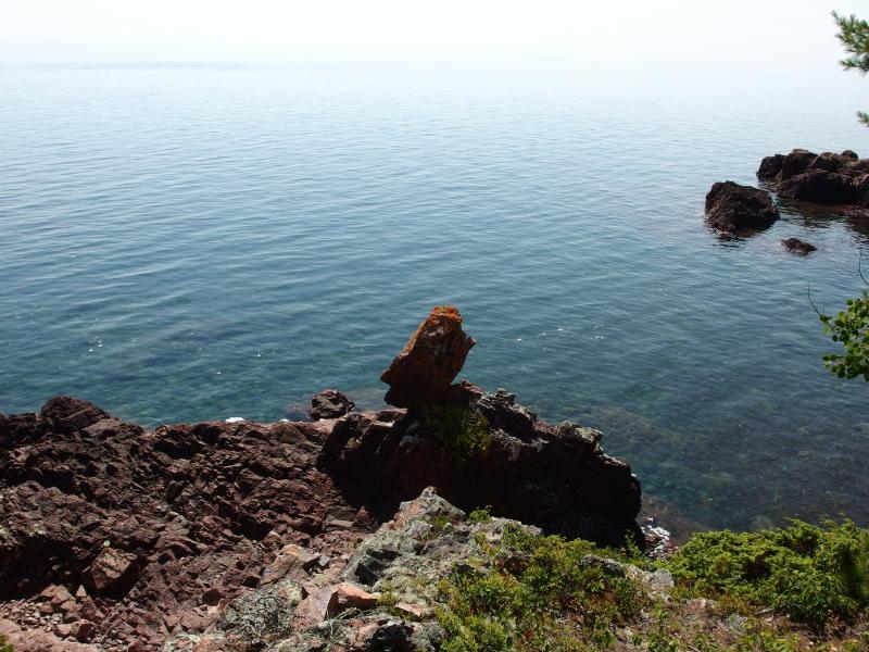
I was not sure what to find here, on the western end of Fish Cove, just knew that there was a rocky protrusion of a point that reached out into Lake Superior. I had assumed that the going would be tough. For now, though, there was an easy path over crumbling conglomerate. I trotted forward quickly, ignoring the side paths that snaked inland, keeping to the edge. Soon I reached the tip and was greeted by an epic view back west.
Ridiculous view back west
Even more of the shore had opened up, hills and points bouncing along all the way to Bete Gris. On a clearer day one could probably even make out the shore heading south from Lac la Belle. This point was the last hurrah of the southern shoreline before it began to retreat northward (well, it's part of a general bump before Big Bay, but that bump is not very dramatic). This was the last good view so I stopped for a bit to drink it in. The next leg of the hike didn't look welcoming.
Rugged rocks along the point
High ground and scrub on the point
Sharp rocks jutting out
After the short recharge I tackled the rocky outcroppings. My trail retreated away to nothing as the going got tough, forcing me to find my path up and down. It was difficult to chose, with the rock plunging down to the water in hidden coves and soaring up to spires in other spots. I was forced to backtrack inland several times before things started to calm down. When I finally found a beach on the far end I felt spoiled to have a level route again.
Cool, inviting water
Odd rock structure
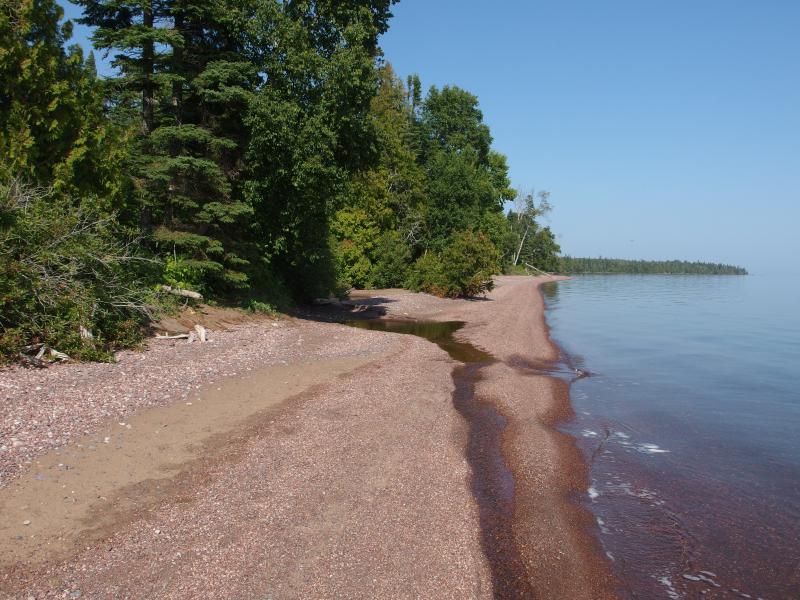
A short, but welcome, stretch of beach
The beach lasted a few hundred yards. Soon the rocks took over, black and blocky, too steep and rugged to stay on. Deadfall became a problem too, trees leaning out over the water, their branches making solid fences to block my way. I knew what to do here.
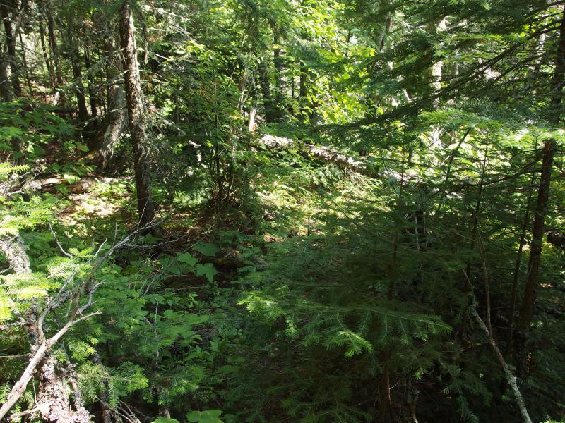
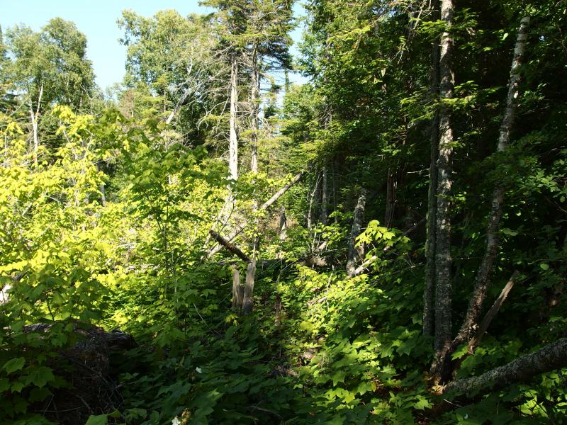
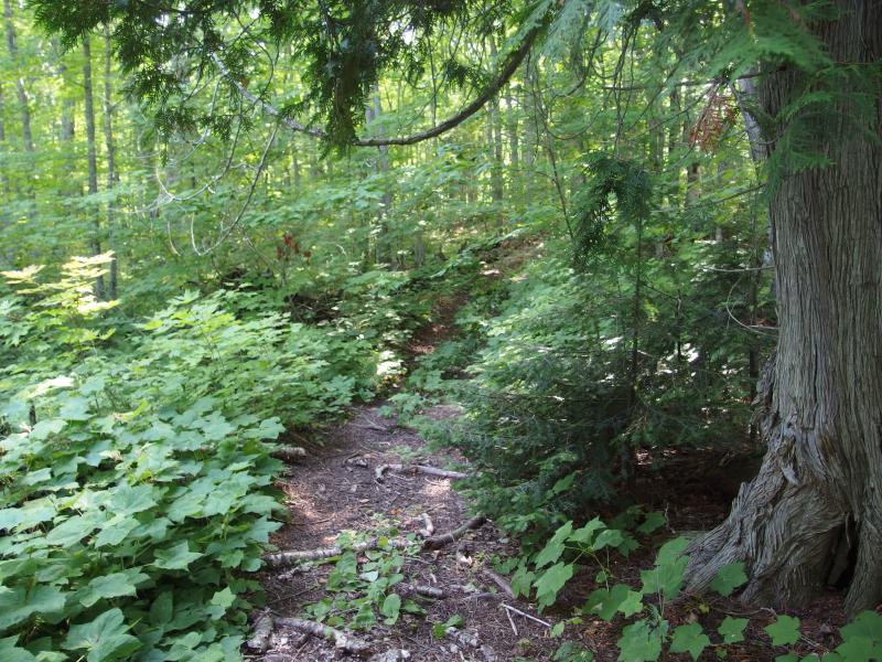
On my last hike along the Keweenaw shoreline I found an overgrown path along the shoreline. In some places it was a bare footpath, in others someone had actually hauled a chainsaw out to slash through downed trees. I had heard rumors of a potential bike path around the tip, extending far beyond the ones near Copper Harbor, yet I'm not sure if this was the remains of an exploratory bike trail or not. The path was narrow and often dropped down to cobble beaches, and I assume that bikes would want to stick to solid ground. Whatever the origin of this path was it was a tremendous help in sticky situations, giving me an easy way around rough patches. I headed into the woods, looking around for the path. And I found it. And it was in terrible shape.
Barest hint of a trail in the woods
The path I had found last year had a few rough spots, where a downed tree forced long detours, but it was never hard to find. Here it was ridiculous, worse than an animal track. Vegetation grew high, branches leaned over, and trees lay sloppily here and there - no one could follow this trail for long. I tried, crawling over and under, getting cut and scraped and slapped by everything. Bushwhacking through the dreadful Keweenaw undergrowth would be easier than this. I headed back to the shoreline.
Scraggly pines reaching up
For the next ninety minutes I fought my way east. There were a few sections of rocky beach, boulders that were steeply strewn down to the water, but most of my route was tougher. The rocky edge forced me to crawl and stretch over sharp boulders and occasionally jump over a precarious distance. When it got too tough I wandered into the woods for a short leg before getting beat back out.
Tough beach to cross
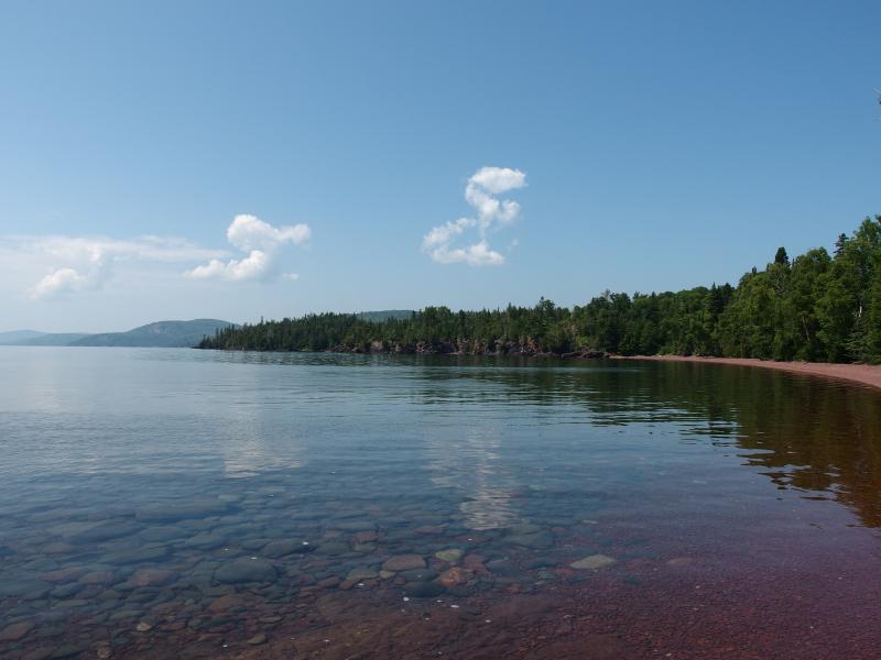
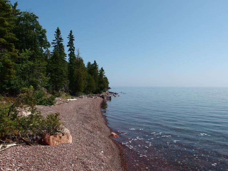
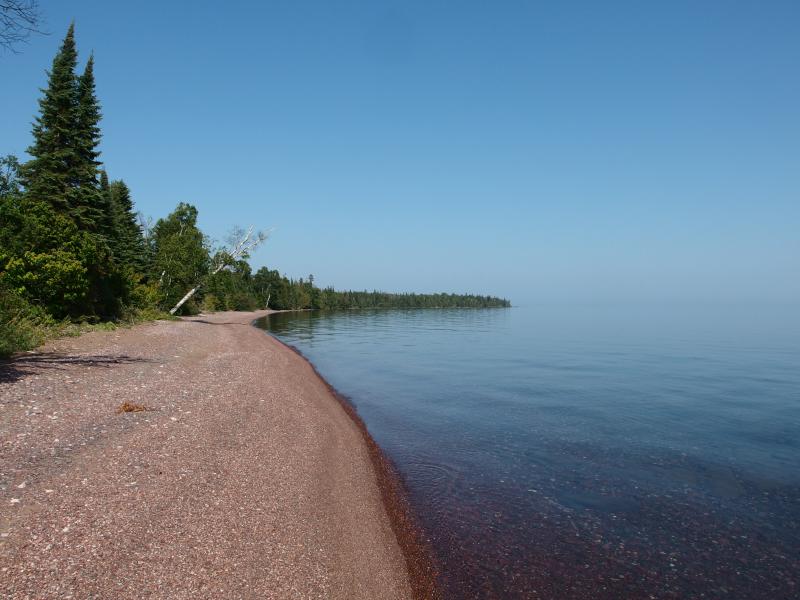
Long stretch of Big Bay in the distance
When I finally started to get views to the east a glow of hope filled me. Big Bay couldn't be that tough. It was a beach. If I could just reach that long, lazy swoop I'd have an easy go again walking along smooth ground.
Hazy Lake Superior
Mixed shoreline ahead
It didn't get easier immediately, though. The start of the bay is a long, straight stretch of rock mixed with beach, with plenty of deadfall to push me back into the woods. When things finally got easy again, shoreline strolling alongside the lapping waves, I had traveled around a mile over the course of two hours. That's some of the worst terrain I've ever gone through, ranking up there with cedar swamps by Cliff Lake and the muddy banks of Mulligan Creek.
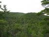
Mess of a woods inland
Ahead I spotted a young couple, poking through rocks and wading knee-deep in the lake. I hailed them and had a quick chat. They didn't believe me when I told them where I had come from, even though it less than two miles away (as the arrow flies, if it could go that far). They told me of a trail that leads from this beach up to Fish Cove Road. Fish Cove Road? Huh. I had a good guess where that went. Sounds like I had an easy way back to my campsite.
Before heading back I needed some water. I continued along Big Bay, enjoying the transition from rocky beach to sandy beach, until I reached Hoar Creek. The water flow was low and I had a hard time getting my filter set up. Once I did, though, I pulled several bottles out, greedily drinking the odd-tasting stuff. The creek empties out of Hoar Lake and runs through some swamp before emptying here, giving it plenty of time to pick up interesting flavors along the way, and I drink as much as I could before my stomach could get too angry at the odd stuff.
Mouth of Hoar Creek
Since I was at the creek I wandered a short distance further east, playing with the stupidly optimistic idea of continuing on to Keystone. This beach does continue on for some distance, reaching far east, and eventually gives way to another rocky section that was easily twice as long as the section I had just broke through. I'd have to pass by at least one zealously guarded cabin and then head up a private road for a very long and boring walk on the Mandan back to Fish Cove. Even if I made good time I'd be returning in the dark. Eh, not today.
The end of Big Bay
Nasty swamp a few yards away
I returned to where I met the young couple, who was just packing up their finds, and followed them along the ATV trail to Fish Cove Road. They had driven a giant truck from Copper Harbor and were planning on retracing their route, having only surface knowledge of these tracks and trails. They offered a drive back to Fish Cove but I declined, preferring to keep to my own two feet even if it was along a two-track. With a wave I set off back west along the hilly and swampy track to Fish Cove.
Narrow path back to the road
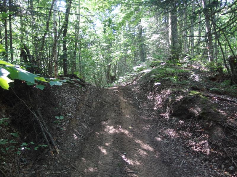
The road to Fish Cove
The road took me to the top of the high point of the cove, where I had wandered up and down jagged rock outcroppings a few hours ago. There was a lot of signs up here. Apparently this land is protected by the Keweenaw Land Trust. I had no idea. That's pretty cool - a lot of the land up here on the tip is so remote that it's easy for misuse and abuse to run rampant. I picked up a few random empty beer cans on my way back down to the edge of the lake.
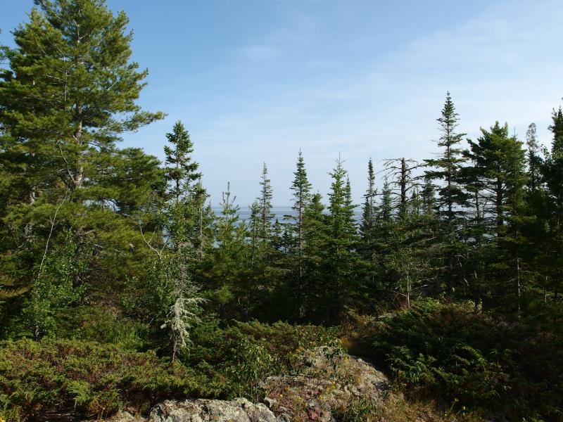
On top of the point
Bright sun shining over the western shoreline
When I reached the lake I stopped and sat, letting the last few hours drain out of me. I was pretty tired. Maybe, if I had skipped the (rather) dangerous hike below Bare Bluff I would have had more energy and time left and could have continued to Keystone. Now I was beyond drained. I sipped water and listened to the waves caress the rocks beneath me. My gear was two coves distant. I had time. I laid down and napped next to Lake Superior.
Returning to my campsite was an easy trek after the catnap. My clothes were sweat-stiff and my legs sore and tight, so the first thing I did was take a dip in the ice-cold lake. Refreshed and in clean clothes I took my time setting up my tent and making dinner, enjoying the absolute quiet in my little cove. When the sun decided to set I headed along the point to capture a few good photos before calling it a night.
Calm lake before sunset
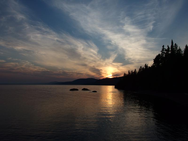
Fiery sun over Bare Bluff
In the end I only missed out on one of the tip's main attractions: Keystone Point. However, I have little doubt that this is one of, if not the, hardest sections of shoreline between Horseshoe Harbor and Montreal Falls. Between Fish Cove and Big Bay was quite tough hacking through summer growth.
With the right gear I still think this is one-day trip. With enough food and supplies someone could hike from Horseshoe Harbor to Montreal Falls in twelve hours. Getting back over the ridge may prove difficult, and there are some very tough sections, but it's doable. Not sure if I'd want to try it alone.
-
Jacob Emerick
Sep 23, '14
It was very beautiful weather. May have been August but I still got a good sun burn, with the strong sun and reflective lake. So you must have come in off the Mandan, on Fish Cove Road then?
Add to this discussion-
Jacob Emerick
Sep 23, '14
Thanks sir!
Add to this discussion