Bear Mountain
I've had some fond trips along Blind 35. The first visit was over four years ago, a quick walk along some of the logging roads to a single outcropping. Then, a few years later, I did a fairly thorough exploration on both sides of Clear Creek, finding numerous vistas and even a bear and her cub. Yet there was more to explore. On my first visit I barely scratched the surface of the northern hills and on the second I stuck to the far west (to get views of the Salmon Trout River and Ives Hill). There was still plenty left to see on Bear Mountain.
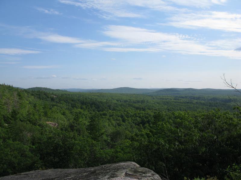
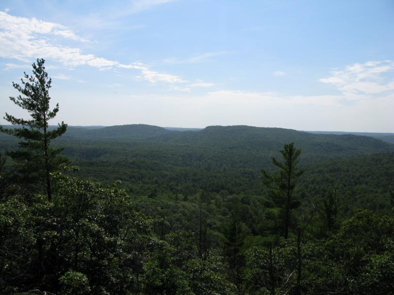
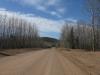
Eastwards up Blind 35 towards Lake Independence
Jim and I drove up 510 on our way to the mountain. Jim is a Marquette local and fellow programmer who had shared dozens of stories about growing up in the area throughout our morning hikes. After a bumpy ride down Blind 35 I pulled off on a small drive heading north and we got out and took some bearings. The drive plunged down and Clear Creek flowed over it, shimmering and sparkling in the bright sun. There was no way my car could handle the slope or the creek. We headed down on foot, inched our way across on rotten timbers just off-trail, and entered the thick green of the woods.
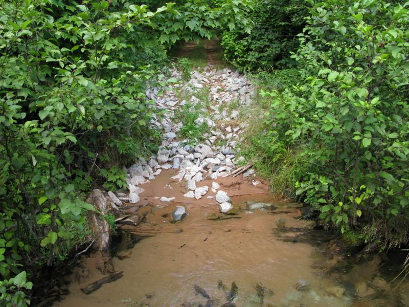
Looking across Clear Creek
Bear Mountain, an informal name I had picked up from some local sources, is roughly shaped like a big 'C' with the hollow end facing south. There is a large bulk on the western end that includes the highpoint and some awesome views to the west and south. Today we were aiming for the eastern end, planning on following the ridgeline west over the northern section before cutting back down. The ridge has multiple steep cliffs in a few different places and we had a long walk to get to a possible route up.
There is a small network of logging tracks interlacing the inner valley here, roads with a gentle but ever-present slope. As we made our way up the hill we tried to take the right-facing forks, slowly curving east, passing by a few small swamps on the way. Eventually we hit a long straight-away with a direct view of the mountain ahead. It was a humbling view.
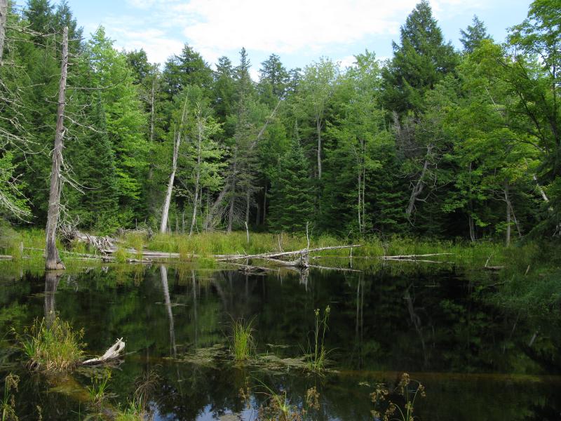
One of the small, dark swamps
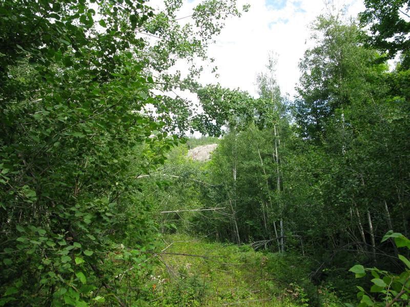
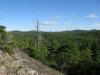
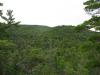
Rise of Bear Mountain ahead
I had checked before sketching out this hike and determined that we would only be climbing up about three hundred feet. The outcropping ahead, with the tiny distant pines sprouting on top, looked huge. I cast a nervous glance over at Jim. It's always kind of hard to tell exactly what your hiking partner is game for, especially on your first outing, just how much they're willing to climb or bushwhack through. Jim was game. We pushed forward, following the overgrown trail for a bit before cutting into the woods.
The climb was tough and steep. Veering too far to the left meant a direct climb up the cliffs, something we didn't have the gear (or experience) for, and too far right would take us into private property. If we hit the right angle we would be treated to a view east through a saddle, over to Big Bay. We didn't hit that angle. Instead we came out on a wide slope of rock with a sunny view south, down towards Blind 35. I looked east, hoping to find an easy way over to that desired view, and saw that we were already far above it. There would be no view of Big Bay today.
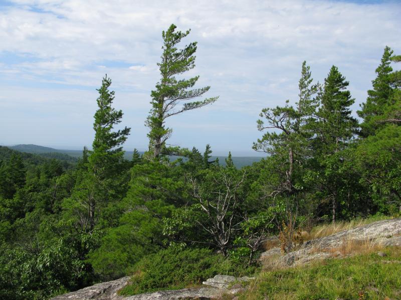
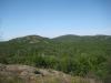
Looking south over Blind 35
Instead we turned west with the ridge. I held onto some hope that there would be a northern view, one up the Salmon Trout River valley to Lake Superior. Part of our route followed the open rocks, jumping up and down the exposed slope, and part of it zig-zagged through the woods looking for that north-facing break in the woods. Too soon we hit a deep valley in the ridge, one that dropped over a hundred feet, without finding northern view. Then, far off in the distance, something clicked. There was a dark spot out there surrounded by grey. Huron Islands, just beyond a few tall pines, poked up from a clinging lake fog.
Distant fog over Lake Superior
So Lake Superior was shrouded by fog. Even if we did find a north-facing view today it would be severely limited, the green of the forest merging into the grey, and no blue water horizons. I didn't feel as bad now for not finding the view, instead contenting myself with the green around us.
Together we tumbled down the valley, pushing through thick green brush and swatting away the mosquitoes and black flies. After the brief dip we were back on the ridge, several hundred yards further west, on another open south-facing slope. This section of Bear Mountain was a bit lower and, being so close to the large bulk with the highpoint, it was hard to get a view beyond to Ives Hill. I could just barely make it out, beyond a saddle, with the hills near Dodge City poking out above it's shoulder.
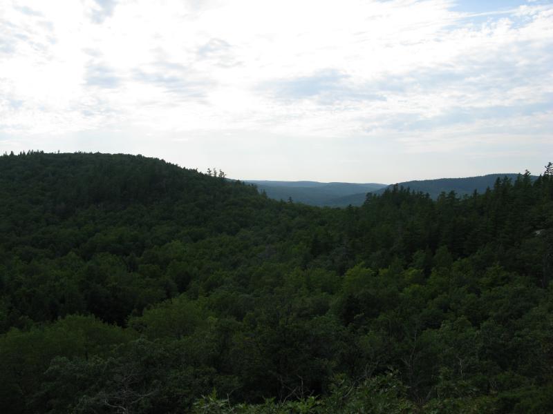
Peering through a saddle towards Ives Hill
Another thing on this second ridge was a trail. An honest-to-goodness marked ATV trail ran just on the forest-edge of the rocky slope. There is an entire network of ski trails to the north, climbing up the forested slope of Bear Mountain, that poke out for a southern vista here. I don't think that there are other views along the trail, just this one, so we avoided the marked trail. Instead we headed down, back down to the valley, jumping from one logging trail to another.
By now the black flies and mosquitoes were out in full force. They had been present all day, a slight annoyance on the Yellow Dog River and up Bushy Creek, but now they swarmed madly around us. We had two brief pauses on the way back to the car, once to inspect some wolf tracks and another to pick some barely-ripe blackberries, before tumbling back into the safety of my car. At least I had now been to (most) of the hills on Blind 35 now, even if today's fog and bugs had put some dampers on today's adventure.
-
Jacob Emerick
Sep 9, '13
No, we didn't get that far. Those falls are on the Salmon Trout, a few hundred feet within the HMC property line. On this trip we only made it to around 46.81331, -87.78209 (or so) before heading back down to Blind 35. From my understanding the Lower Falls are not terribly impressive, just a slight bump, but the Upper Falls (upstream past the confluence w/ East Branch Salmon Trout) are pretty cool. Not sure either of us will ever see any of those drops, though.
-
Douglas Feltman
Sep 9, '13
OK, now I know where the property line starts in that area.
-
Jacob Emerick
Sep 11, '13
Yeah, it kinda follows the Salmon Trout down from Lake Superior. The exact line is straight and blocky, pretty normal for boundaries. Unfortunately they do own the entire area around the waterfalls on (main) Salmon Trout River. The drops on East Branch are accessible (though Hogback Falls is not, just not sure if that is on East Branch or the main river).You can get a pretty good idea of the lines on MI's hunting property map. Site is a bit clunky and there are a few odd spurs, but the land around the Salmon Trout is fairly accurately marked.
-
ms
Sep 13, '13
There is also an old Burnt Dam area from when they used to float logs down the Salmon Trout in the spring. Falls areas have always been more closely watched...There used to be two guard cabins along the Salmon Trout. This area is taken pretty seriously.
-
Joel
Sep 21, '13
Taking into account the tenuous situation of the Coaster Brook Trout, as well as the large amount of time and money that the HMC has invested in restoring the Salmon Trout River ecosystem, it should be easy to understand why the Club is so protective of this river...
-
Jacob Emerick
Sep 22, '13
True, though I'm a bit surprised they haven't bought up more of the watershed. All but the last few hundred feet of the East Branch is accessible and upstream of Upper Falls is too. They own just enough to fish on (from the pictures I've seen of Upper Falls the trout ain't jumping that, and I'm not sure how much Burnt Dam still blocks). Not that I'm complaining about being able to enjoy a few of the river's waterfalls ;)
Add to this discussion-
Jacob Emerick
Oct 12, '13
Hi Andy!Glad you stumbled across my adventures! Hope you're able to get some good information from here, enough to plan out an awesome honeymoon. Feel free to reach out if you have any specific questions about access or area and I'll be more than happy to share what I know.Thanks sir! Happy hiking.
Add to this discussion