Bare Bluff
Winter had been rough on the old Smith Fisheries Road. Well, to be honest, I don't think I have ever seen this road in great shape. Since my first visit to Montreal River in the summer of '08 every drive has been a treacherous one, lurching over huge ruts and praying at that ridiculous slope around two miles in. At least today would be a shorter drive. I pulled off Smith Fisheries at an unmarked point halfway to the river near the trailhead to the Grinnell Memorial Sanctuary. Today was the day I would (finally) visit Bare Bluff.
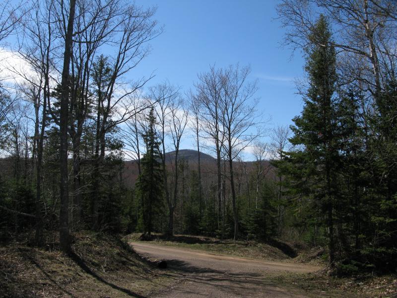
Mount Houghton, just southwest of the parking area
I originally bumped into Bare Bluff while I was researching waterfalls many years ago. At the time I ignored it, focused more on rivers than highpoints, even though I found myself in the Lac la Belle area numerous times. When I did start mountain climbing (you can't hunt many waterfalls in the winter) I went for Mount Houghton instead, a closer trek from the plowed roads. After the honest-to-goodness exploring started in late 2009 I wrote it off as too easy (pshaw trails!). Now, five years later and after multiple recommendations, I was finally standing at the trail. At least, I thought it was the trail.
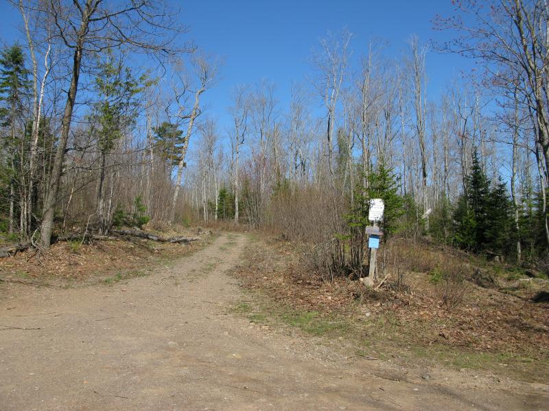
Meager trailhead off the parking area
A single humble signpost stood on one end of the parking area before a two-track wandered off into the woods. I had assumed there would be a larger sign and clearly defined trail, with how many visitors this area gets. Curious I headed down the track, looking for trail markers or any obvious signal that Bare Bluff was nearby. Outside of a steady stream of prints on the dirt there were none.
The trail led east with a slight downhill tick, passing a gate under a huge pine on the way. The area had been logged heavily and left plenty of room for saplings to eagerly spring up nearby. On the way I began to wonder if I had missed something. I knew that the trail was a loop with at least one leg following the edge of the bluff. Downhill didn't make sense. After what seemed like far too long I bumped into another sign, this one clearly marking the start of a trail, leading away to the left. I veered off the two-track with no hesitation.
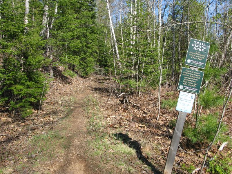
Trail branching off to the north
This trail climbed slowly, a steady increase through pines and birch. At first it tackled a slope head on, then curved to the right along the edge of a hill after crossing a small seasonal creek. The forest began to mature along the way, shifting from a mixed batch to mostly coniferous with scattered undergrowth. The path was well defined in the ground, beaten deep into the ground by countless visitors. The markers, though, were sporadic. Blue paint showed up the trees a few times, not always within site of one another. I craned my head back a few times and noticed that the opposite way was better marked. Perhaps I was taking the loop the wrong way and a clockwise counterclockwise (under the bluff first, then over) would have been easier to follow.
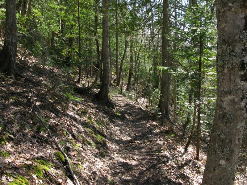
Sun and shade along a pleasant trail
Once I gained about a couple hundred feet of elevation from the parking spot hints of the upcoming views started to open up ahead. The trail bent east and leveled out a bit through a thin, scraggly forest. I debated cutting over, just in case the epic views were off trail, but held back. The trees were thick and it looked like everyone else had just stuck to the trail. I continued through the scraggly forest.
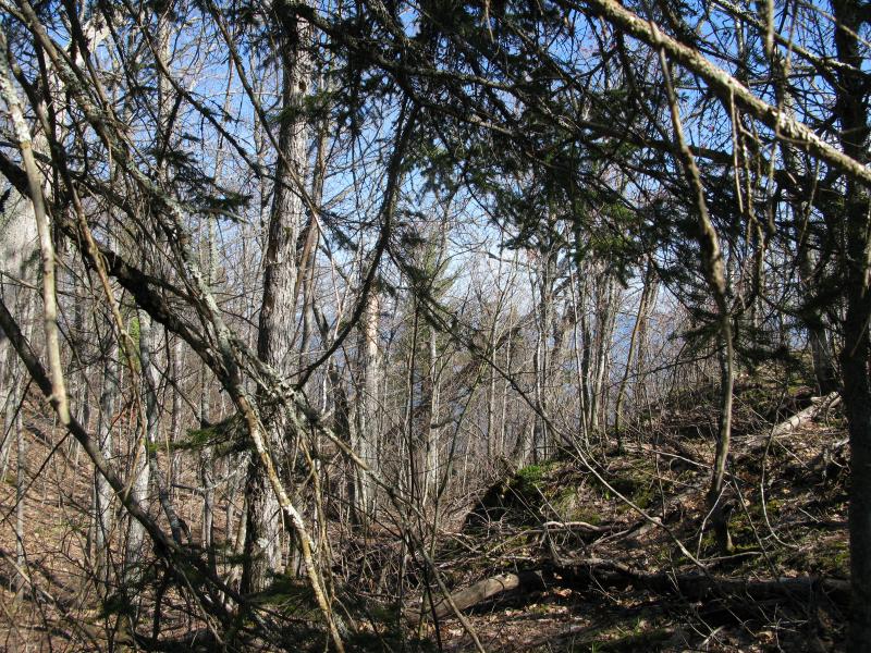
Sky and lake visible through the brush ahead
The patience paid off. Soon the trail bent over to the open sky and the bluff opened up. Lake Superior shone blue in three directions, the bright sky lighting up the depths in tempting hues. I slowly left the main trail, keeping one eye on the mounds of pink rock on the bluff and another on the awesome views around me. I wanted to get closer to the edge of the bluff, wanted to see more, and that meant hopping and scrambling down a few layers of rock.
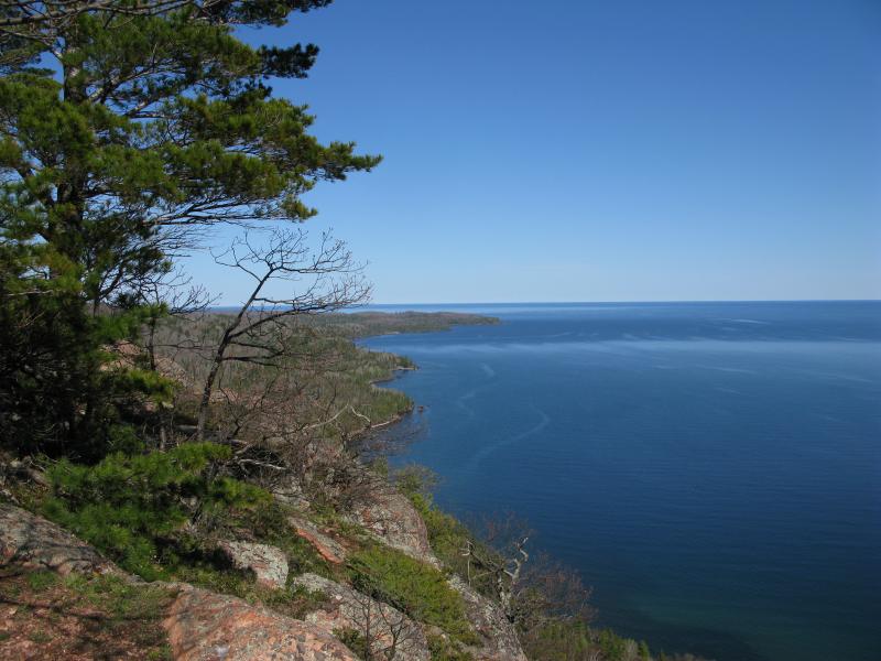
Fantastic view up the eastern shore
East was the best view by far. The point of the Keweenaw stretched out, speckled with green and brown forest, the several small points accentuated by the angle. The old Smith Fisheries building, the namesake of the road, was a distant grey block with several cabins nearby. Lower Montreal Falls showed up as a faraway white dot, probably still swollen from the spring melt. Beyond the falls Fish Cove made one last push south before the peninsula started to curve northeast along Big and Keystone Bays. Even Manitou Island was visible today, a far off-color line in the blue lake.
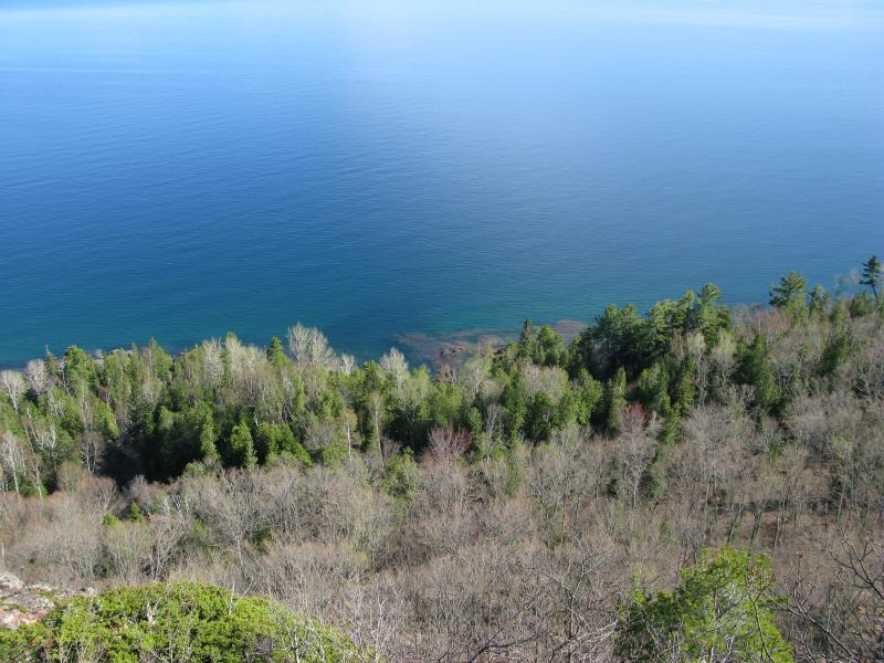
Lake Superior a long jump down
When I reached the edge, or at least as close to the edge as I was going today, I carefully peered over. This bluff wasn't joking around. A sharp drop somewhere around 200' lay below, more than a little dizzying. A second rise showed up further down, the land making one last push up before the shoreline, but I couldn't tell if there were bluffs down there or not. If so, they might also be worth a visit, a cool 150' or so right above the rocky shoreline.
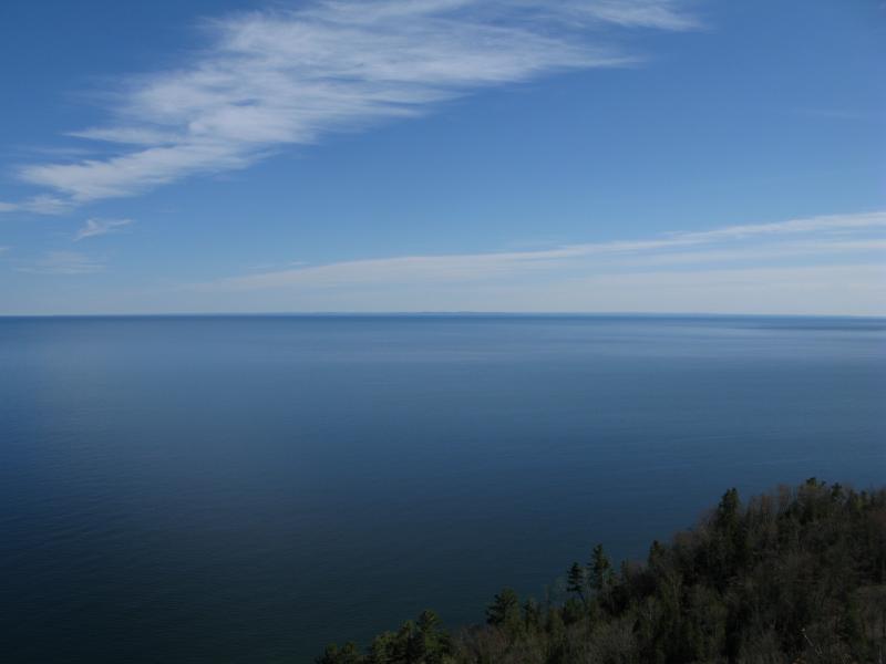
Sharp blue of northern Keweenaw Bay
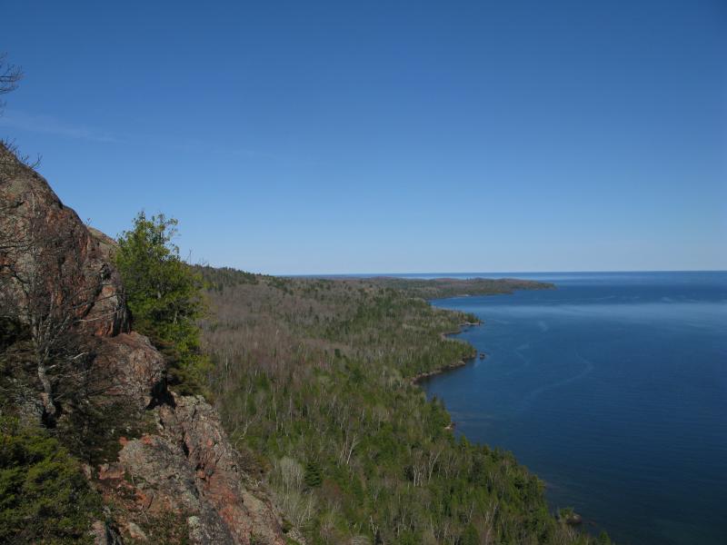
Eastern view along the rock wall
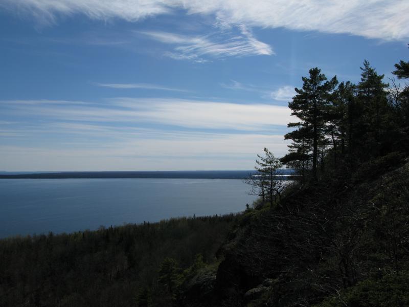
Flash of Lac la Belle to the west
Looking around some more at the bottom ledge was rewarding, to say the least. Keweenaw Bay stretched out to the south. A distant, almost mirage-like, bumpy line in the horizon marked my familiar Huron Mountain range and I pretended to recognize each individual squiggle. Lac la Belle was barely visible to the west, an afternoon sun glinting harshly off the little lake, and the shoreline bent south beyond Bete Gris on the way to Gay and the Traverse Bays. After one last look down the crazy cliff edge I turned and climbed back up to the trail, already satisfied with this visit.

Gut churning view straight down the cliff
The trail was hard to follow on top of the bluff. The markers were more spread out (probably because there are less trees) and some parts traveled over solid rock that did not keep footprints or paths. I found myself stopping and searching multiple times, trying to figure out where the slippery thing had gotten away to, As I traveled east along the bluff a few more views opened up, nothing terribly new, just a changing angle of the fantastic eastern shore.
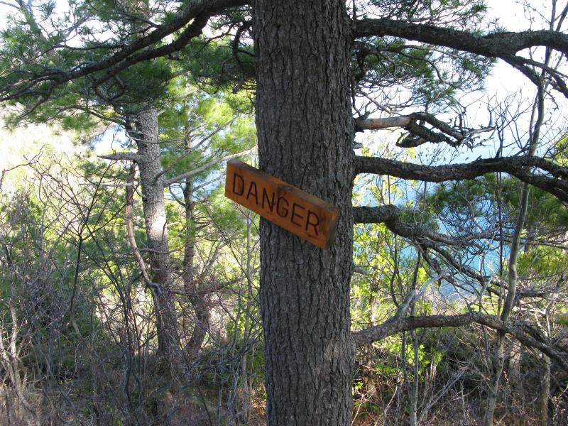
Danger sign near one of the cliffs
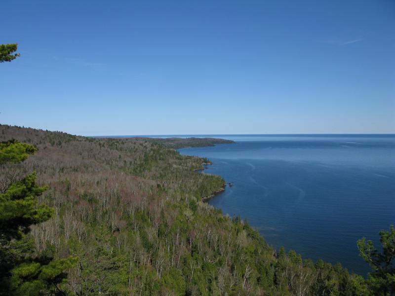
One last view east along the end of the Keweenaw
Finally the trail bent north and left the bluff. I was sad to see it go, not looking forward to leaving the open air and blue horizon. The ground dropped away quickly, over dirt and rock, and then the path led straight into a tiny creek. The thing was a cluttered mess, clogged with fresh branches and spring junk, and I looked around hoping that the trail led back out. It did not. I had to climb down the wet, sliding mess of a canyon.
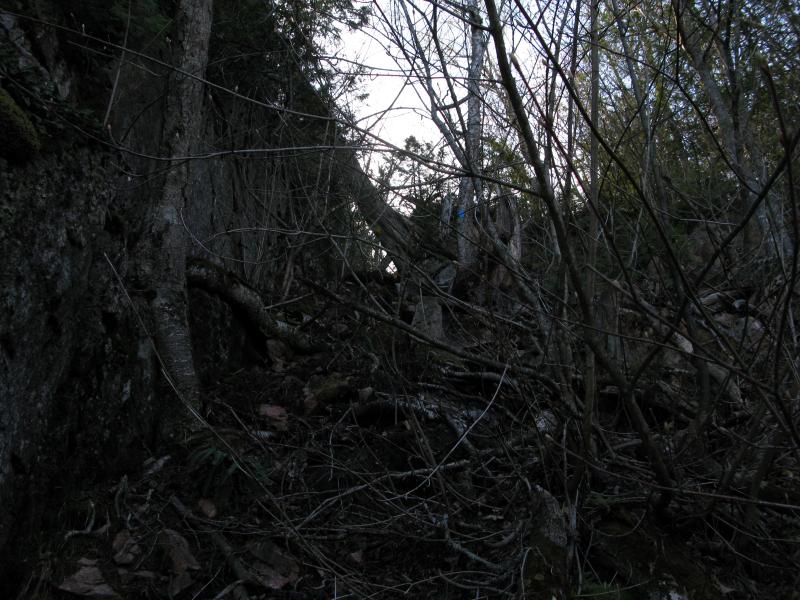
Cluttered mess of a creek-trail down
At the bottom of the creek's cut the trail twisted sharply south and west. I had already lost most of the elevation gain and was now at the base of the bluff. Below the cliffs was a scattered mess of rocks from above that ranged from ankle-rolling pieces to huge boulders. The trail skipped through this, sometimes losing itself in the hard ground, and I attempted to keep up with the widely spaced markers.
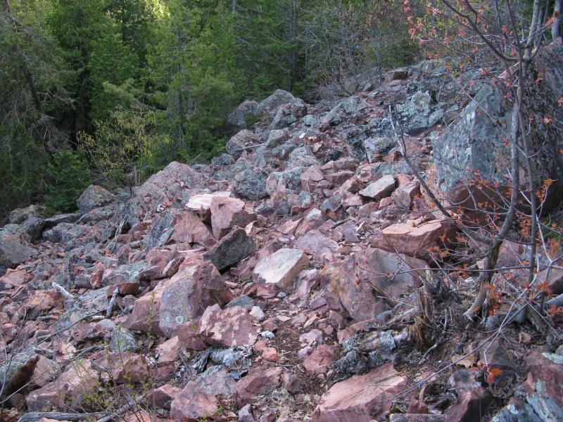
Shifting rocky trail below
While the trail had increased in difficulty, both in terms of the path and keeping up with the markers, the view back up the cliff was ridiculous. The stained pink-and-grey rock soared up from the base of the loose rocks, a sharp wall that few pieces of vegetation poked out from. It was pretty cool to realize that I was standing on top of that only an hour ago.
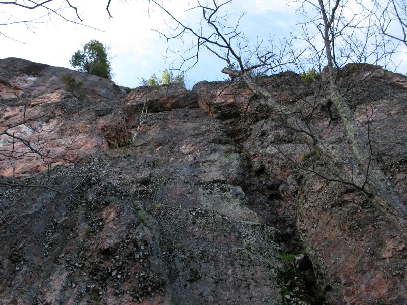
Back up the pink-and-grey cliff
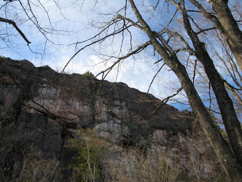
Stains and weeping along the bluff
I lost the path a few more times before it came out on the two-track. This appeared to be the same track that led back to the parking spot. Without clear signs I turned right and followed it for a bit, than noticed another trail that led away, and took that for a short time, and then was back on the two-track. It was confusing with no helpful arrows, just blue dots, and I could only assume that I was going the correct way. Finally, after several hours of confusion and awesome views, I made it back to my car.
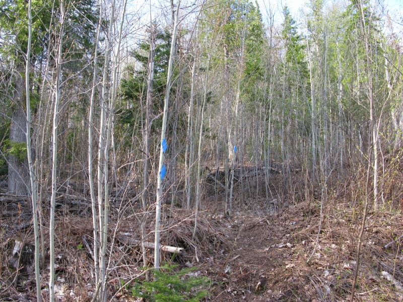
One of the few well-marked legs of the trail
In the end I feel like I made two mistakes. The loop seems like it would be much easier and more rewarding to tackle in a clockwise counterclockwise direction, to bypass the first trail and stay on the two-track a bit longer. The pre-view walk would be longer and easier to handle, with enticing views up the cliffs before the final climb, and the trail was better marked in that direction. The other thing that would have been helpful was a guide, someone who had visited the spot before and could help out with the stickier spots of the trail. Regardless, Bare Bluff is a great spot to visit (if you can handle the Smiths-Fisheries Road) and is well worth the tough hike and confusing trails.


-
Jacob Emerick
Aug 26, '13
Ha - you're completely right, I did mean counterclockwise! Corrected in the post. Yeah, I do wish I would have tried it the other way. Next time, perhaps.I only remember two colors of blazes, which is slightly better, but still pretty confusing. The footpath was well worn, which was a great help on the dirt. The bluffs, below rocks, and some of the thicker woods... Not so much.Only one time, though? I kinda assumed you'd have been up there a number of times. Seemed like your kinda haunt, well, as close to your hikes as you can get w/o mining ruins ;)
-
dcclark
Aug 27, '13
Yep, only once. It's sort of silly, since I had been all over the place hiking nearby -- just never actually went to Bare Bluff. I finally drove out to it a couple of years ago. My tiny car almost didn't make it. I fully intend to return (with Sarah) some time.
-
Jacob Emerick
Aug 29, '13
Same here - well, with Katie. I'm not sure if she'd be up for the tough leg, may take the 'easy' way up & down. Views would be totally worth the repeat, especially for the fall colors.
Add to this discussion-
Jacob Emerick
Aug 29, '13
Thanks Douglas! Very true about the views. I've seen plenty of pictures of the spot and had high expectations, and standing on the edge with the whole thing spread out way exceeded them. Makes me want to go and (finally) hike Lake of the Clouds...
Add to this discussion-
Jacob Emerick
Aug 22, '14
The view is fantastic, ain't it! I did this hike the night before attempting the hike around the tip... it was very inspiring. Oh, and I was in the area a few weeks ago and attempted to explore the bluff below this one. You may be interested in checking out that area too. I'll have to get it live sometime soon-ish.
Add to this discussion