Rocking Chair Lakes
Perched high above Mulligan Plains are the two small Rocking Chair Lakes. A rustic camping site of the Escanaba River State Forest, these lakes offer scenic views and a peaceful escape for the adventurous. Ever since I first visited Mulligan Plains in the October of 2008, I hoped to have the chance to visit the lakes, and I got my chance almost a full year later.
It was a cool, rainy July morning in 2009 when Logan and I headed to Mulligan Plains after a night of camping on the Yellow Dog Plains. While the official route to the lakes involves driving up County Road AKC, I doubted my vehicle could make it more than half a mile on the poorly maintained route. I headed up the unnamed but well-kept county road on the west side of Mulligan Plains and cut over on a convenient driveway near the lakes. As the plains are only two thousand feet wide or so, this route got me close to the start of the trail without damaging my car more than necessary.
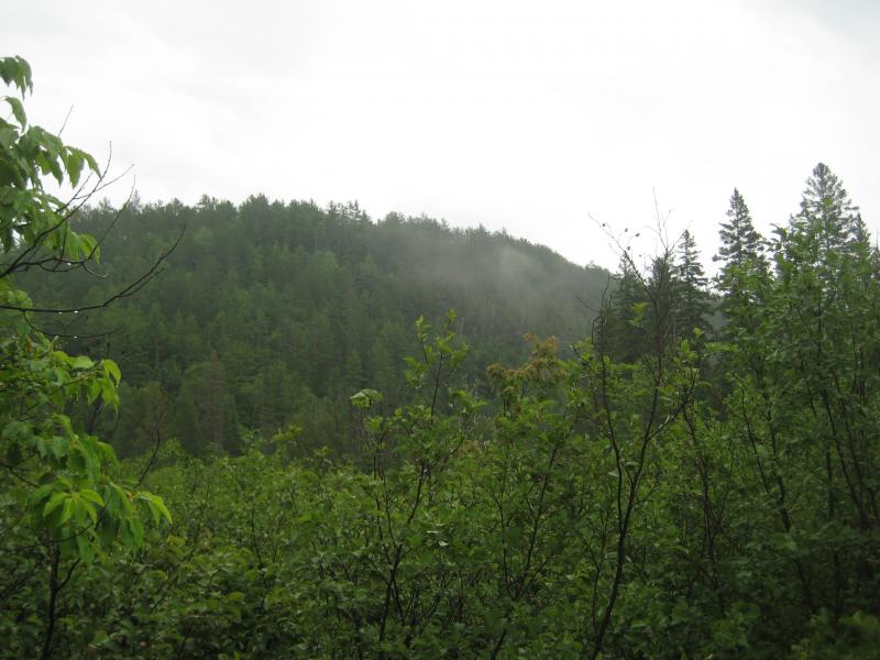
Fog rising off the eastern cliffs
I had to double back to find the remains of County Road AKC as it crossed the cabin's driveway. I then headed north on the overgrown four wheeler track around foot deep mud puddles and through thick swamp growth. Thanks to the morning rain, I was soaked head to foot by the time I had to cross Mulligan Creek on a small pile of branches. There's a beaver dam a short distance upstream, but the branches worked perfect for a simple crossing.
The trail got a bit confused after Mulligan Creek, with several paths shooting off in different eastern and northern directions. I found out later that the real path goes almost directly east, to the right of the road, but I started heading northeast along the small creek. This creek is the same one that flows out of the northern Rocking Chair Lake, and I figured that I'd be able to find a waterfall and make my way up the creek's path to lakes. While I did find the waterfall, there was no way Logan and I could make it up the steep cliffs that surrounded the creek.
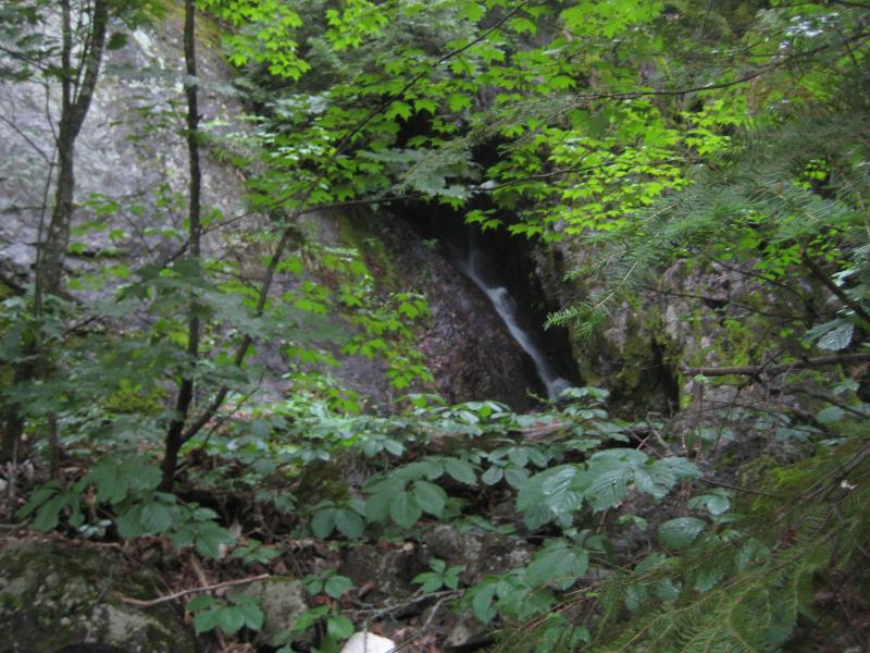
Waterfall from Rocking Chair Lakes overflow
I had to head south along the edge of the cliff for several hundred yards before clambering uphill to the top of the climb. It was clear by now that whatever trail I had been following had disappeared, so I just bushwhacked to the top of the waterfall and followed the creek upstream to the lakes. While I did get a few great views of the northern lake from this vantage point, the woods were very thick and tough.
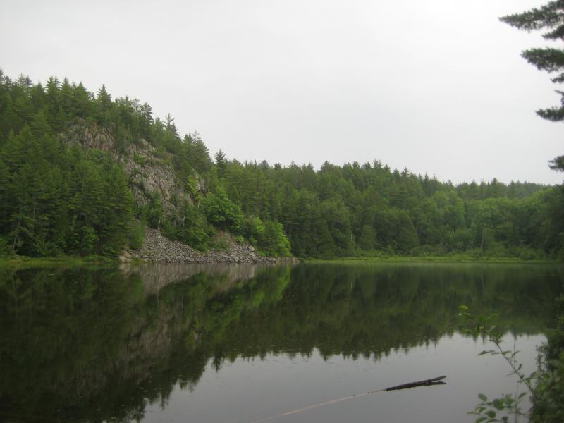
Northern Rocking Chair Lake
I headed south again, along the edge of the lake, hoping to find the DNR camping site and my trail back down the cliff edge. I found it near the southern shore of the lake, complete with a stash of firewood and a well-used fire pit. Marking the spot on my GPS, I proceeded south to the other Rocking Chair Lake. The ground was a bit boggy along the way, as the only real separation between the two lakes is a swampy, slow-moving creek, but I made it there quite easily and scouted the shores a bit. I was unable to find any nice vantage points or rocky outcroppings similar to the northern lake, but it was still a pleasant view.
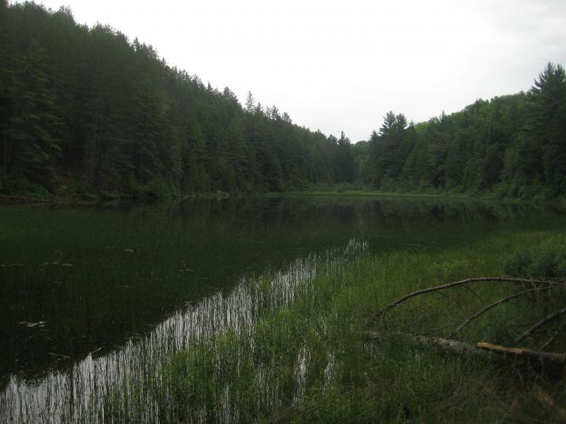
Southern Rocking Chair Lake
After heading back to the campsite I headed to the cliff edge to check out the views. I was slightly disappointed by the heavy overgrowth that surrounded the cliffs near the trail down, but didn't scout that far to the sides for better views, so I probably missed the sweeping vistas that this area is known for. Also, for the first time this morning I could hear large machinery by the Silver Lake Basin breaking the peace and quiet I had been enjoying during my hike. Now in a bit of a rush to head down, I found the trail and was soon back on County Road AKC, heading back to my car.
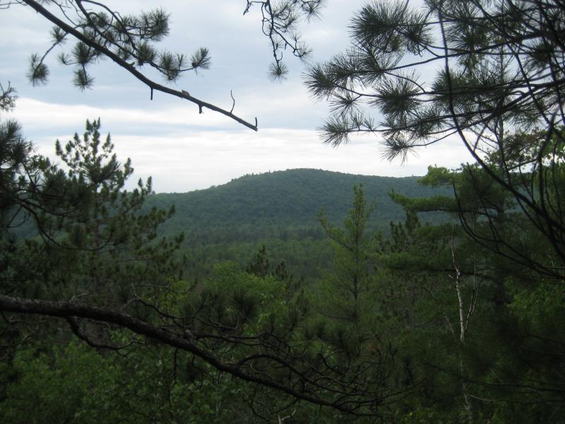
View from the Rocking Chair Lakes
The Rocking Chair Lakes are known for their rustic camping, untouched area, and gold-bearing rock formations (though I didn't see any veins poking out on my hike). To reach the lakes, drive up either Deer Lake Road or Red Road to Silver Lake Road and take the second right after crossing Mulligan Creek. Follow the road until you reach a driveway with a gate of driftwood - park here and hike east. The hike is surprisingly short, about two miles roundtrip, and the climb is definitely worth it.


-
Jacob Emerick
Jun 15, '11
Hi Tom, just saw your comment! Were you able to find the lakes? And yes, that is probably the easiest way to find it, even if that eastern road is ridiculously overgrown :P
Add to this discussion-
Jacob Emerick
Aug 19, '12
Hi Bobby, I'm assuming that you're a landowner in the area. Have any troubles with rowdy campers at Rocking Chair?
Add to this discussion