Ontonagon River
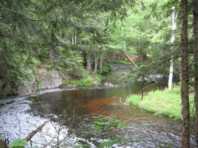
As the largest river in the Houghton area and a distinctive brown hue, the Ontonagon River is a well known river. Many of its branches are simply named as sub names under Ontonagon - West Branch Ontonagon, Middle Branch Ontonagon, etc. With its huge watershed, the Ontonagon is the primary drainage for most of Ontonagon and parts of Houghton County.
Middle Branch and Main Branch of the Ontonagon River
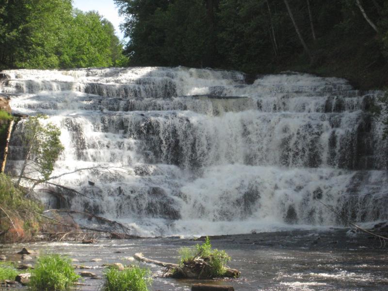
Starting from the southeast, the East Branch Ontonagon River starts from a series of marshes and lakes in northern Iron County. This river slowly winds north over some small rapids, including the Sparrow Rapids Campground. A few of its notable tributaries include Jumbo River, which has two popular waterfalls (Jumbo and Duppy), and Onion River, located in the Ottawa National Forest. While a few of the eastern tributaries venture close to the Sturgeon River watershed, there are few places where the rivers share the same marsh or lake. This river, like the other main branches of the Ontonagon River, doesn't pick up the distinctive brown color until after passing under M-28.

Ontonagon River near Jumbo Falls
The next branch to the west is much more exciting: Middle Branch Ontonagon River. This branch begins far south near Watersmeet, sharing a network of lakes with many other large rivers. The first main stop is at Bond Falls Basin, a recreational spot with one of most visited waterfalls in the Upper Peninsula. A short distance downstream is the impressive Agate Falls, a sheer drop under a soaring railroad trestle. The river heads straight north after these two drops over a few small rapids, and after joining the Baltimore River, settles down to the main river's slow pace. The majority of the Ontonagon River's flow comes from this branch, as its watershed is fairly large compared to the Eastern Branch.

Agate Falls on Middle Branch Ontonagon River
The South Branch Ontonagon River stretches far to the south as well. By including the Cisco Branch, this river pulls water from lakes as far as Wisconsin. However, fewer tributaries feed this branch, so the overall flow is less than the other branches. Besides a few small rapids, this river is fairly smooth as it joins the West Branch Ontonagon River just before the Victoria Basin.

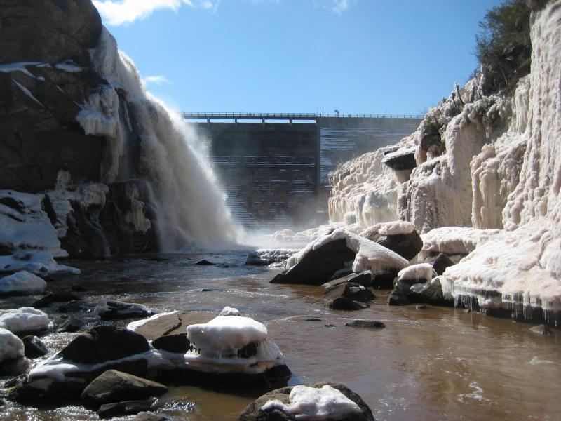
Victoria Dam and Falls
Covering up the site of an ancient waterfall and the original location of the famous Ontonagon Boulder, the Victoria Dam holds a huge reservoir of water back on the West Branch Ontonagon River. There is another dam even further upstream that, while smaller, controls the flow of an even larger body of water. Lake Gogebic collects water from dozens of small tributaries and is the rough western border for this watershed. The route of the West Branch Ontonagon River is not long, but holds some of the best scenic opportunities of the entire watershed. With dozens of tributary waterfalls and the Trap Hills and Porkies rising from its north bank, this branch is rich with visiting opportunities.

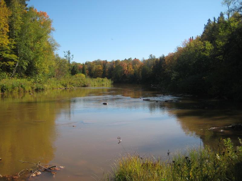
Muddy Ontonagon River
After all of the branches join the Ontonagon River, the muddy water slowly winds northwest to the town of Ontonagon before pouring into Lake Superior like a large chocolate milkshake. The harbor is easily visited, as is most of the river, as it winds around and crosses many roads on its journey to the Gitchee Gumee. This large, mighty Ol' Muddy of the Upper Peninsula has plenty of treasures for the hiker, paddler, or angler alike.


Comments (0)