North Peak Trail and the End of the Mazatzal Divide
Six weeks had passed since Charlotte was born. More than six weeks without a solo hike and the only adventures being short jaunts with the boys. I was ready for a challenge, ready to get started on the ambitious Mazatzal project, ready for sweat in the eyes and cramps in the legs. Katie gave me the green light and I zipped past Payson to explore some new ground. As the sun rose on North Peak I began a slow march towards it, following a rocky creek bed through fire-scarred hills.
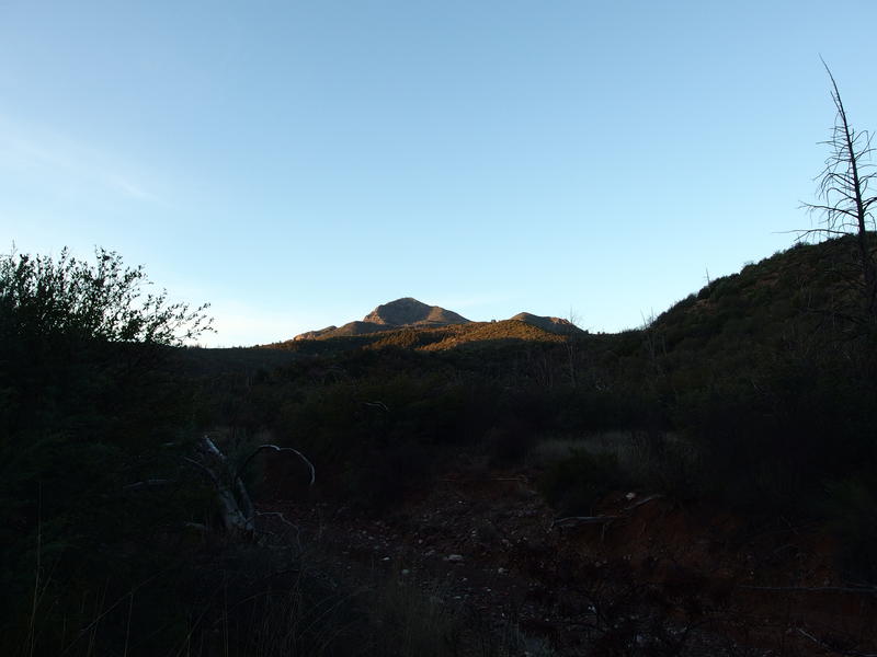
Early morning light on North Peak
There were two trails I was focused on today. The first was North Peak Trail, which climbs from Mineral Creek Trailhead to the shoulder of North Peak and then ends at The Park. Second was Mazatzal Divide. Now, I've been on the Mazatzal Divide Trail from Windsor Spring to The Park on multiple trips before but never went further north. Today I would be finishing the northern end, taking the long descent down to City Creek Trailhead.
These are two separate trailheads. To connect them I was using Pole Hollow Canyon, a shallow creek that runs from near-Mineral Creek past City Creek. I was making a triangle loop with a 3.5 mile off-trail connector. It should be an easy connector - the creek seemed wide and easy to walk from the maps, with an old forest road that criss-crosses and runs along it most of the way - though it did take me a bit of putzing around to find the darn thing. After parking the van I first followed City Creek before realizing my mistake, backtracking on the road, and then finding the real Pole Hollow and starting on the correct route.
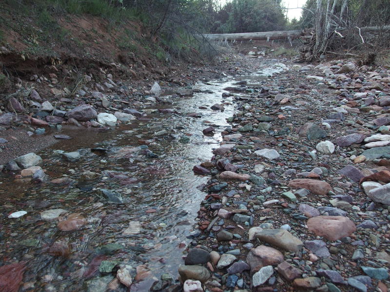
Water flowing down Pole Hollow Canyon
A rocky and only slightly damp creekbed made for a straight-forward walk. When the old forest road showed up and looked clear I would take it instead, preferring the old sand-gravel tread to the looser creekbed, though I made decent time on either one. Deadfall would show up and divert my path at times. There were hints of previous travelers also winding around the deadfall to make things easier. As I strode southwards the sun continued to rise, lighting the forest around me, showing off the mix of charred old remains and younger trees springing up.
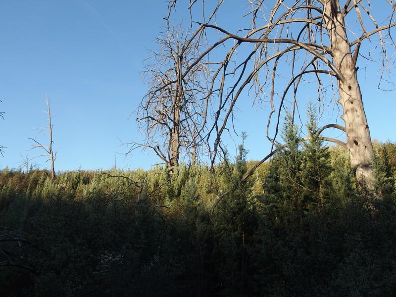
A mix of dead trees and recovering forest
This is where the Willow Fire got serious. It was started by lightening somewhere by Mt Peeley and roared northwards, gaining ground as it approached the East Verde River and Payson. Up here it had the most fuel and became a more economical concern. Wildfires in Arizona are a political argument, weighing the benefit of saving land from a mostly-natural occurrence against the costs, yet when the fires start to reach out from the wilderness towards personal property and towns the arguments tend to swing in a certain direction. While the Mazatzal Wilderness burned and wasted there was some minor suppression efforts, but when it got closer to Payson the real fight began and the town was protected.
It's been twelve years since that fire and the land is still recovering. Doesn't help that there's been a few wildfires since then, re-burning the damaged land. Here, at least, some of the pines were already ten feet tall. Perhaps when (and if) my sons start venturing into the Mazatzals they'll be twenty feet tall. I don't think we'll ever see these mountains the way they once were, covered in lush forests of ponderosa pines and junipers, not with the direction our climate is going. Eh, I digress.
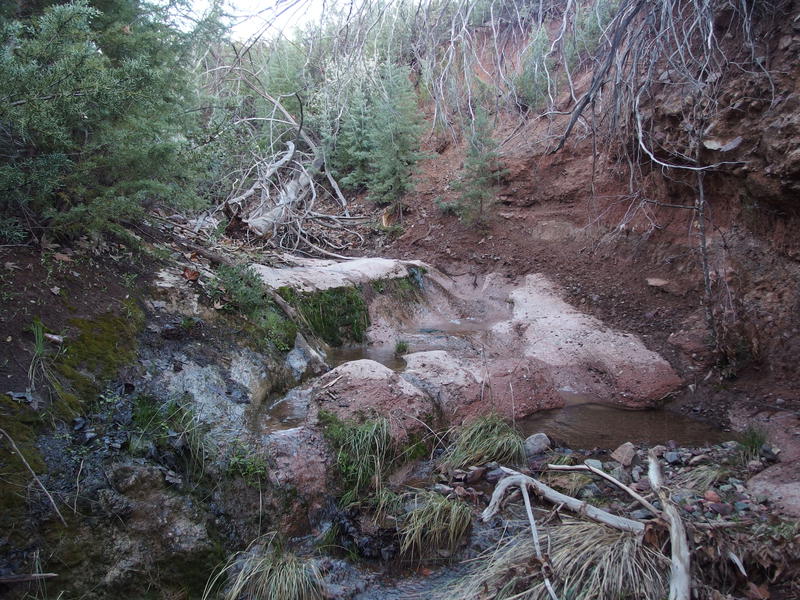
Rock tanks at Pole Hollow Spring
I reached the half-way point and followed a tributary west to Pole Hollow Spring. It was more than a tributary - far more than half of the creek flowed from the spring. Or at least from the tributary. The only sign of a spring at the waypoint was a damp, mossy rock above a pitiful waterfall, contributing little to the strong flow coming down from above. I took a few quick photos and returned to the creek, continuing my southern direction.
Beyond the spring the creek dried up quickly. Water began to fade in and out of the rocks, disappearing for a few rocky yards before trickling anew. The creek grew narrow and rockier and I leaned on the overgrown forest road more often. My protective eastern hills finally wore down against the sun's rising angle and I was exposed to the morning light. One last, long stretch of old track and I bumped into a well-maintained dirt road that would guide me to Mineral Creek Trailhead.
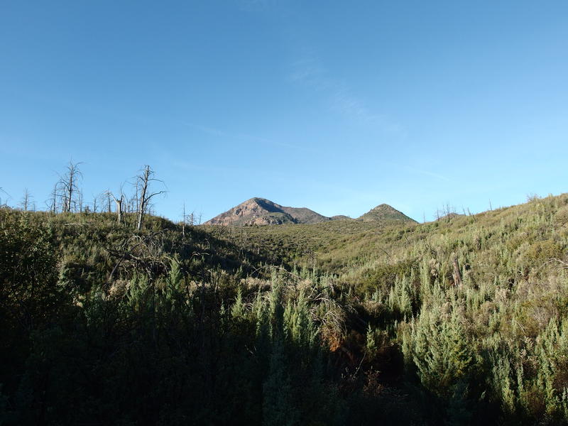
Slowly getting close to North Peak
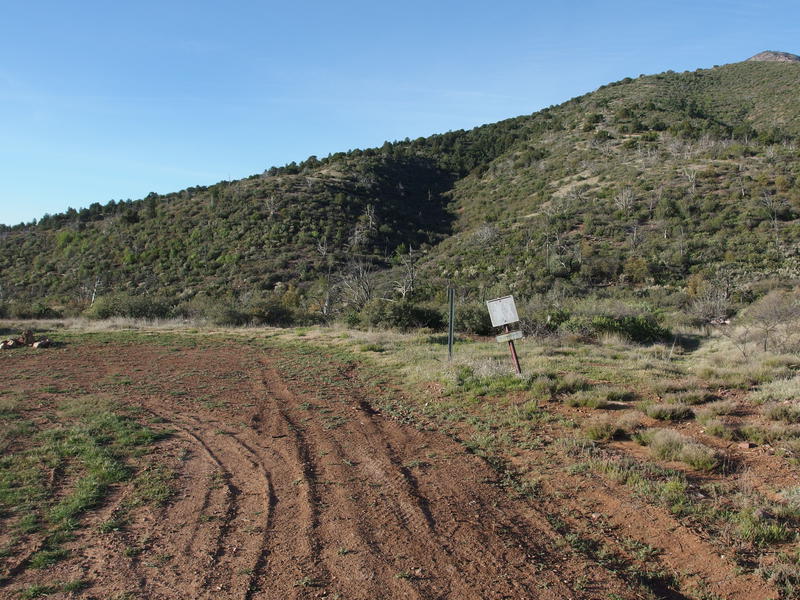
Mineral Creek trailhead
The trailhead was a simple affair. There was no official sign, just a faded metal 'hikers' post and a jumbled firepit. I paused here briefly, checking my GPS to make sure I was in the right spot, then searching for recent tracks. Nothing fresh, nothing of note. Pocketing the device I turned with the path and started west onto what I could only assume was North Peak Trail.
Now, North Peak Trail was supposed to be a treat. It climbs over two thousand feet, much of it in a two-mile span, and I've heard it's very overgrown. Overgrown with manzanita, a particularly nasty plant to hack through. It started simple enough, bouncing through and along a busy Mineral Creek over boulders and past low brush, though I viewed it with suspicious eyes. I didn't want to get lured into thinking this would be an easy section.
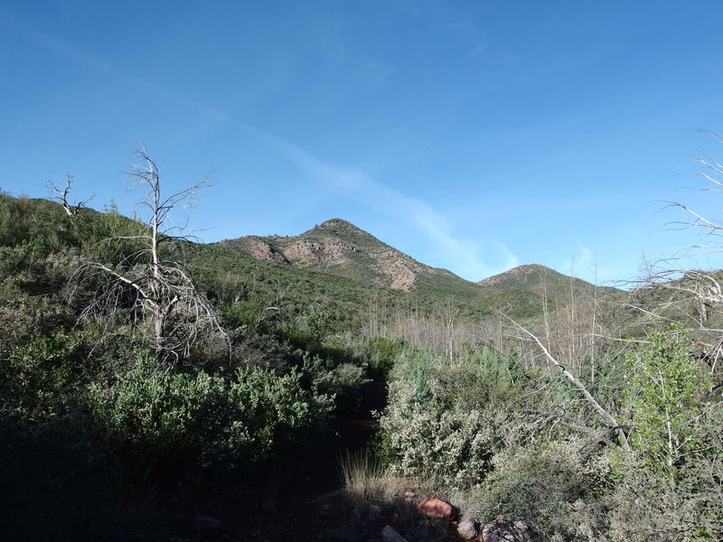
Looking towards the first ridge to climb
Too soon the sharp turn showed up, the turn away from Mineral Creek and up the steep ridgeline. I pushed on, leaning into the climb, ignoring the heat building up under my sweatshirt. I didn't get far. Multiple layers of clothes made a lot more sense in the below-freezing temperatures before the sunrise - now they made me sweat prodigiously. Three hundred feet into the climb and I gave in, stopping to shed some clothes and eat a late morning snack.
Wearing only a single long-sleeve shirt, no base layer, and fresh socks I started back up the climb, moving slow at first, then chugging faster through the switchbacks like a tiny engine who thought he could. On the way I realized that I had totally missed out on checking Mineral Springs. Thought the trail would go right past it, turns out it crosses below and then climbs above and around. Not about to backtrack now. As I neared the top of the ridge I was surprised to see a wilderness boundary sign. It only took five miles and two hours, but I was in the Mazatzal Wilderness proper.
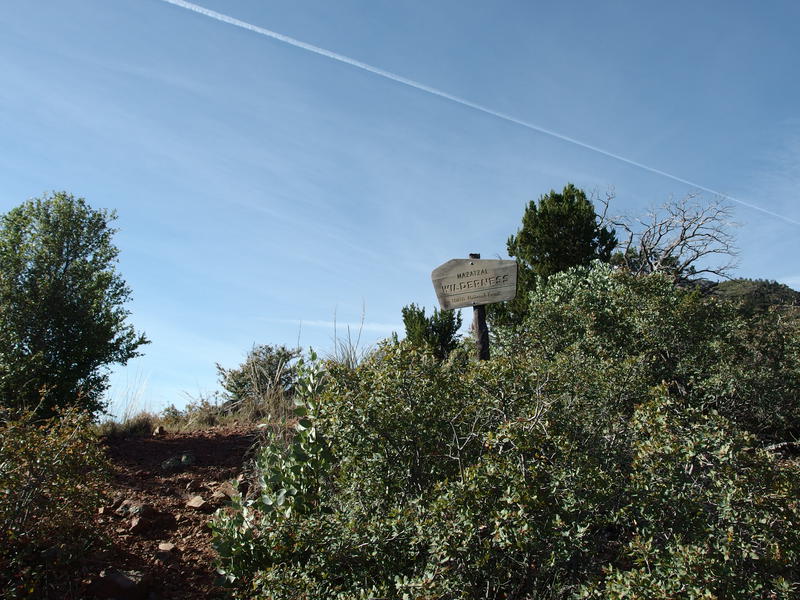
Finally at the wilderness boundary
Now I was on the tall ridge that sits between Mineral Creek and Dennis Creek. All I had to do was take it up to the shoulder of North Peak. So far the trail had been incredibly easy to follow, with none of the overgrowth or washouts that I had expected to find in this remote area. Perhaps that nastiness was waiting for me further up. Even as I turned west again and followed the top of the ridge the brush was pushed back, tread well-defined, and helpful cairns were placed at regular intervals. This was almost too simple.
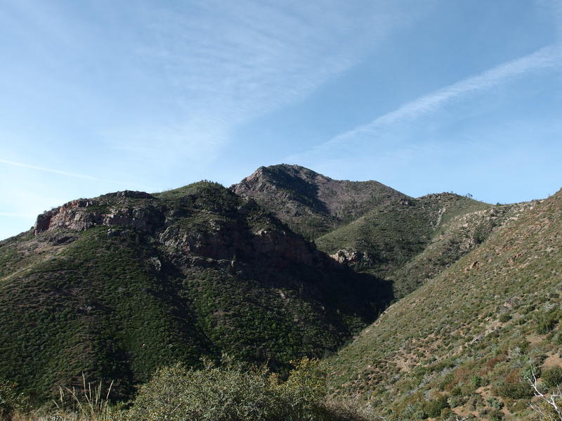
Deep gorge of Dennis Creek
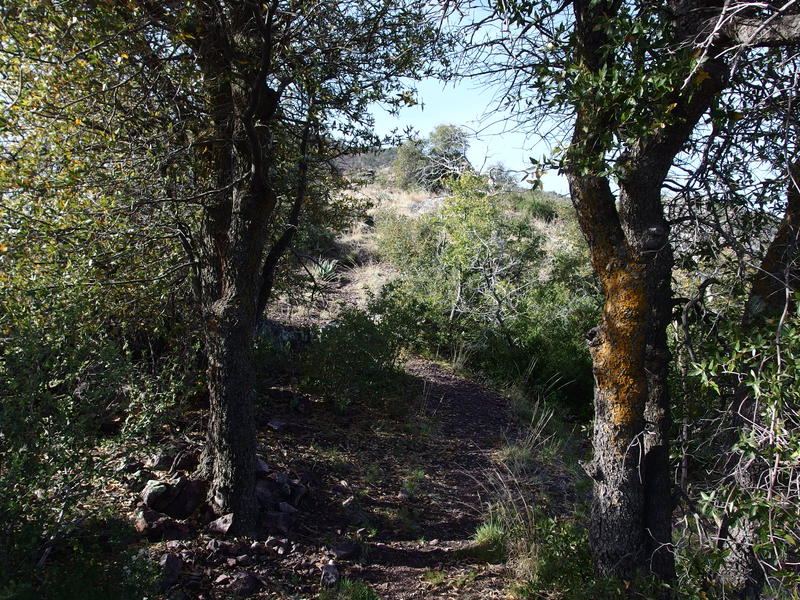
Spot of shade along the trail
An hour later and it was obvious that someone had been doing a lot of work on this trail. Most of the climb was done and the trail was over 6000' high now, well into manzanita territory. Yet the trail was still wide and easy to follow. There was more deadfall now, charred remains of forest fires strewn across the path, forcing me to hop over and sidestep around. I can't complain too much. This was way easier than I imagined my morning would be.
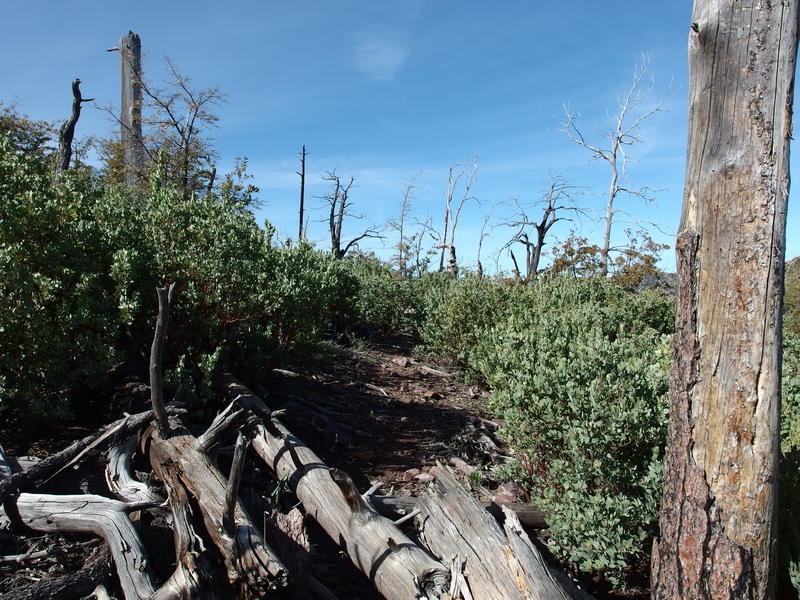
Cleared, easy going along the ridge
North Peak was painfully close now, less than fifteen hundred feet above the trail. That was a stretch goal for me today. My primary goal was to complete the trails, to focus on the Mazatzal project, but a little bit of fun never hurt anyone. Technically I was ahead of schedule at this point. The going was easier than I thought it would be and my legs were doing better than I thought they would, especially after such a lengthy break from long hikes. As I debated the option I crested a small hill and saw a long, shallow swoop around the uppermost part of City Creek's basin.
The swoop was annoying yet inevitable. A gradual two hundred foot decline, southward detour, crossing over a tree-covered creek (that was dry), and then a hundred foot climb. That last climb wore on my legs more than it should have. Perhaps I wasn't as ready to tackle North Peak today after all. At the end of the swoop there was an exposed campsite just off the trail that I cut over to. The views were outstanding. Far to the north I could make out Humphrey's, the highpoint of Arizona, which had to be a few hundred miles to the north. First time I've been able to see that peak on a hike.
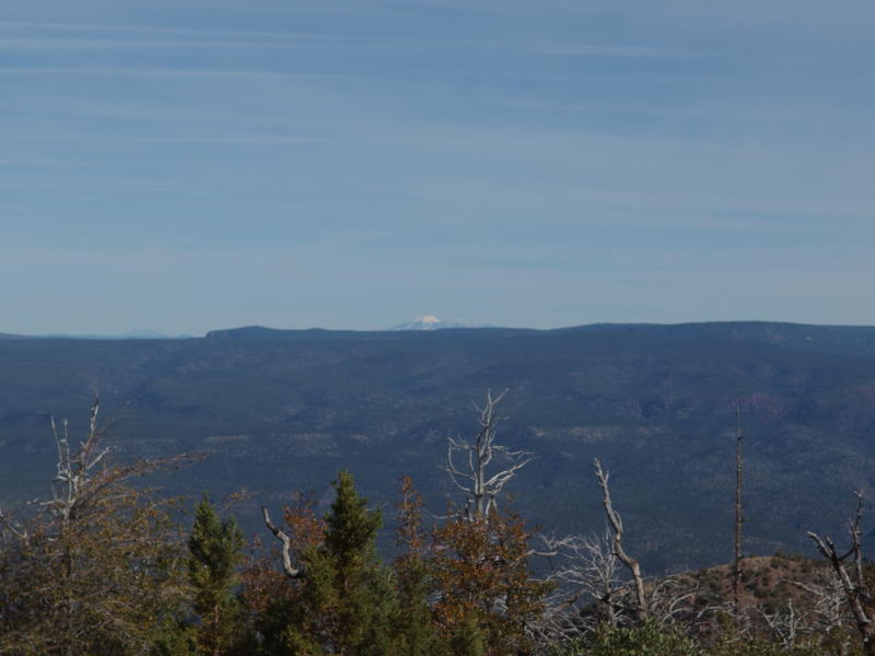
Snow on a distant Humphrey's Peak
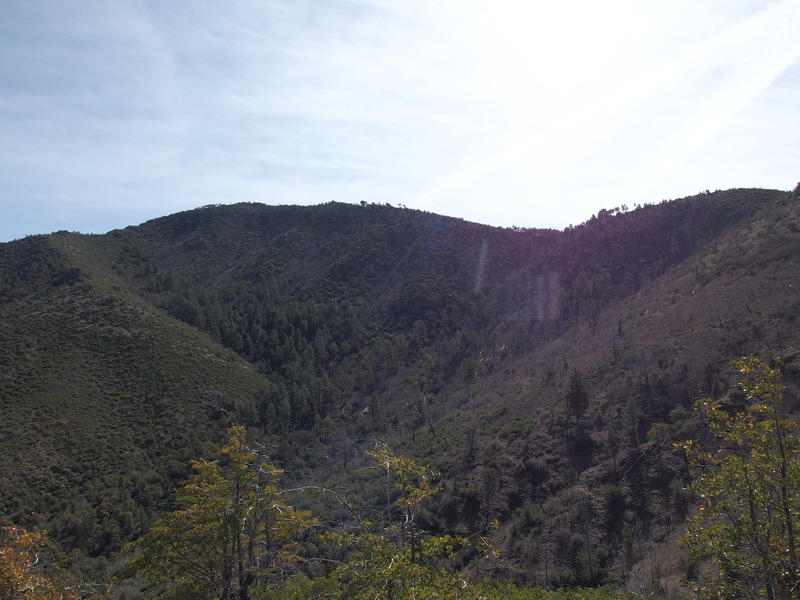
Close view of the ridge along North Peak
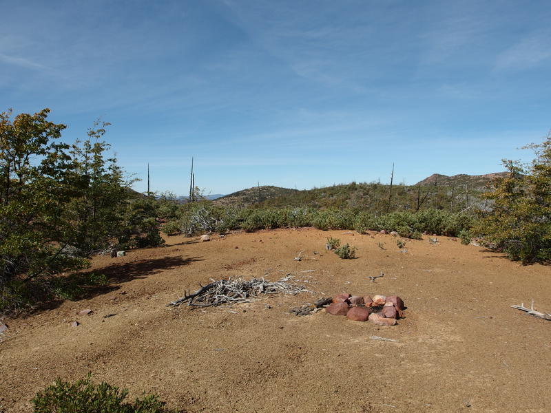
An exposed campsite on the shoulder
Less than a half mile lay between me and The Park. This was good news. The exposure and elevation were working in concert against me. I hadn't seen any water since Mineral Creek and could use a refill and a rest. Hopping back on the trail I continued west, where the brush kicked in and overtook the path. There were blazes here, signs of maintenance in progress, and then everything faded away. I struggled along, dropping into a rocky wash in hopes of an easier way forward, and then pulling back uphill hoping to re-discover a path.
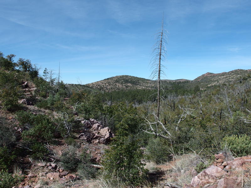
Almost to The Park
It was a flat rock outcropping that marked the end of the short struggle. A single lonely cairn sat halfway up it, followed by hints of a trail to the west. Then the nasty brush died down and the tall trees of The Park, spared from the Willow Fire, took over. A minute later and there was a trail sign for the Mazatzal Divide. I was done with North Peak Trail, done with most of the climb for the day, and almost halfway through the distance.
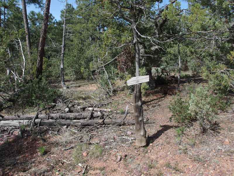
Lonely trail sign at the Mazatzal Divide junction
Now to find water. Wet Bottom Creek crosses the Mazatzal Divide Trail a short distance to the south and usually has a few tanks. I was more interested in finding Pete's Pond, which sits along a tributary of Wet Bottom maybe a half mile to the west and is a much more dependable source. I plotted a short cut and simple pushed west from the North Peak Trail junction, winding through tall pines and a few deadfall, aiming directly for the waypoint on my GPS. The cut quickly turned into a gauntlet as the pines gave way to manzanita and the flat grade was interrupted by a rocky hill.
Unwilling to backtrack I pushed on, cutting a diagonal up the hill and circling around to the side. It was slow going under the hot sun. The hundred feet climb through thick brush felt like a small eternity. I'll blame it on the knowledge that there was a huge pond of water just waiting for me on the other side. Once I clambered over the last rock I got a good look over at 6351', an unnamed peak to the southwest, where Willow Springs Trail lives. One of these days I'll have to tackle that guy.
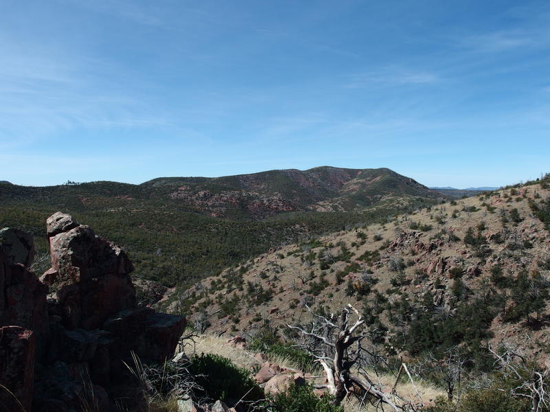
Unnamed peak along the Willow Spring Trail
A slow trek down a crumbling rock slope, using dead trees and tufts of grass as anchors, and I finally made it to the top of Pete's Pond. Shade from a twisted, half-dead tree and a few flat rocks for sitting made for a perfect resting spot. Finishing my water I quickly pulled, filtered, and then pulled a second liter before taking off my boots and letting my feet breath. It felt good to relax. It was barely ten in the morning, a cool breeze flitted over the pond and over my brow, and my route was all (mostly) downhill from here.
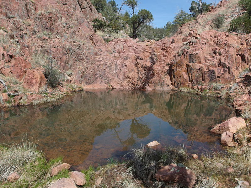
Plenty of water at Pete's Pond
Less than a half hour later and curious bees forced me to grumpily pull my gear back together and get back to hiking. Apparently the sweat-stink of my boots attracts them. I was hoping for an hour, perhaps longer, though my legs felt ready enough. With my belly full of water and two liters in my pack I made my way around the pool, followed it down to the rocky Wet Bottom Creek, and then took that upstream to the Mazatzal Divide Trail.
Minutes later I ran into the first, and only, other hiker of the day. She was another day hiker and had started from City Creek Trailhead, just as I did, though she was doing an in-and-out along this trail. No North Peak Trail for her. She was still heading southbound and was playing with the idea of reaching that ridgeline a few miles to the south. An ambitious goal - she was already nine miles in and was thinking of making a twenty-mile-plus day. We exchanged a few words and then separated, both of us surprised to see another person out here and interested in returning to our solitude.
The Park passed by quickly and I spared only a quick glimpse at the route I had taken in. Nothing new to see there. Beyond this was new trail, a much more exciting sight. The tall trees faded to short and then gave way to scarred burn area, the ground changed from smooth sandy to rolling rocks, and a few sections were grassy enough to become a cairn hunt. Really? There was a crew that cleaned up this trail recently, I didn't expect to be hunting cairns to keep on track. It didn't slow me down or anything, it was just an unexpected event.
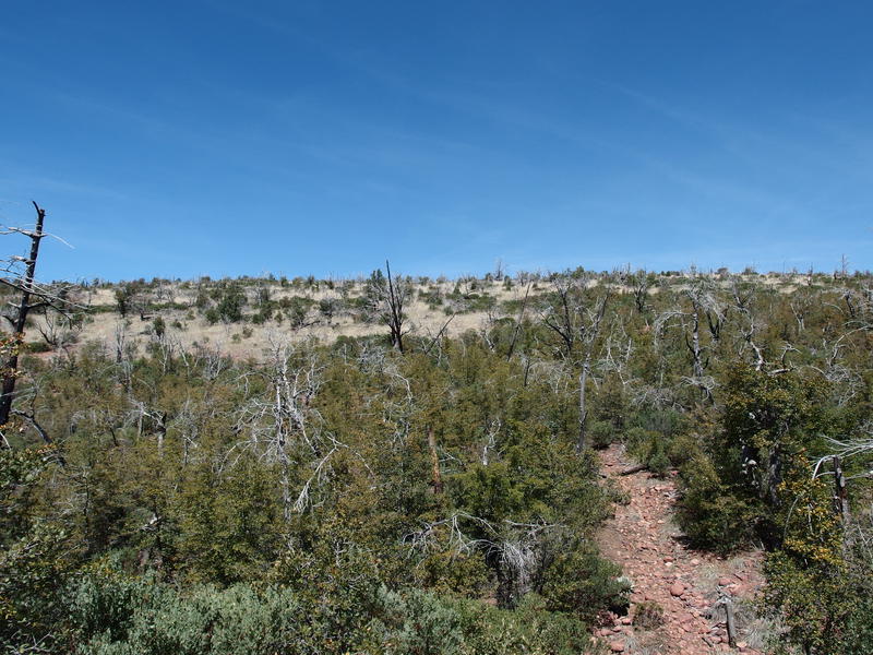
Hot, sunny climb out of The Park
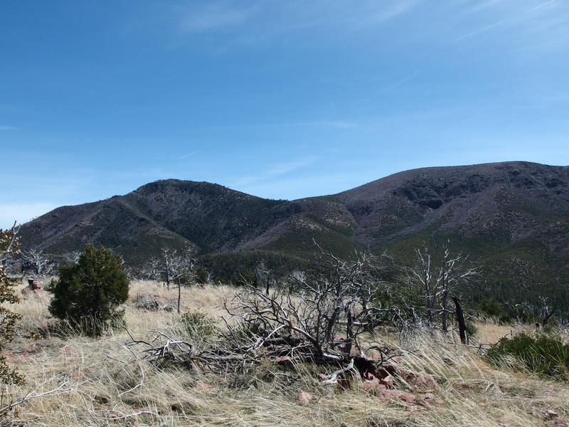
Looking back at North Peak
A three hundred foot climb later and I stood at the crest of an unnamed ridge overlooking The Park. The main view from here was North Peak. I tried to trace the trail I came in on; it wasn't visible from here, but I could make out the gist of its path along the shoulder. The saddle looked especially green. Looked like a good route up, starting from the little dry creek in the swoop to the saddle, then follow the spine to the peak. Oh well, that was for another day. I looked around and saw some decent views east of the Mogollon Rim, something I had forgotten to look for on the climb up, and then pushed further north.
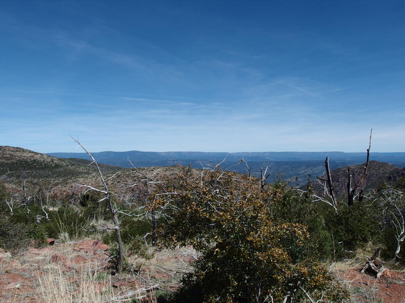
Distant line of Mogollon Rim
So, I had three little hills to climb before the descent. Three long ridges that this trail climbs up and over. The first one is the tallest climb, though not by much, and the last one (Knob Mountain) would have the highest crest at 6290'. That's actually the highest up I'd be today (since I wasn't climbing the much more lofty North Peak). Between the first and second climb the trail makes a sharp cut west to avoid a deep canyon. With the first hill out of the way I was on that cut now, swinging left along the side of a deep, green canyon, popping in and out of shade from sporadic leftover pines.
When I rounded the cut the trail climbed up the second hill, quickly at first, then more slowly. I kept glancing back at the trail on the other side. That other hiker must have been moving pretty quickly from City Creek in order to bump into me. We had about the same number of miles behind us, and I had the earlier start, so there was a good chance she would pass me. Which isn't the end of the world, I'm just weirdly competitive about such nonsense. I never saw her. Maybe she pushed on to that crest, or maybe she took a break near the creek. I doubt that I beat her back to the parking lot by merit of my pace alone.
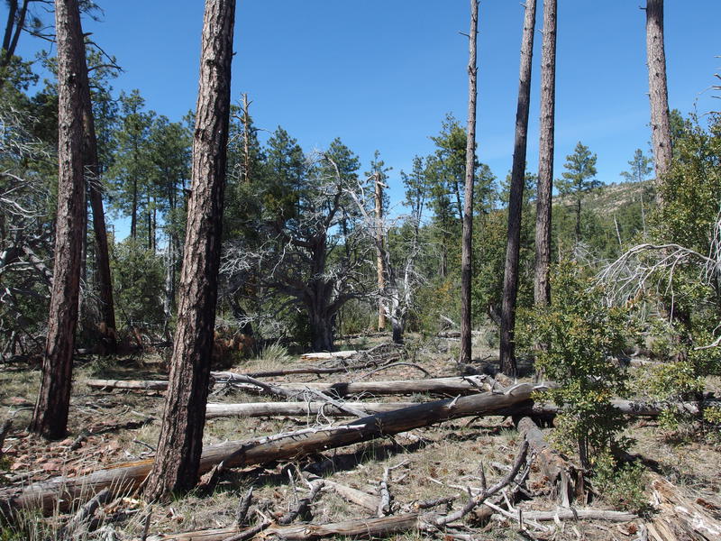
Humble stand of pines along the trail
Between the second and third hills there was a small stand of pines, a more humble version of The Park. This one even had a little seasonal creek running across the trail. There was a lot more deadfall here. The fire left its mark here even if it didn't destroy it completely. I didn't see any clearings for camping, even with the creek, so I'm guessing the spotty shade and fire risk keeps most backpackers moving along. I was still good with my water situation so I kept hiking as well.
There wasn't much to see on the top of Knob Mountain. Same views as the last two hills, only now with more short trees and tall brush to block it. I paused long enough to catch my breath and then pushed on. It was just after noon now and I was playing around with the thought that I might make it home in time to help make dinner. Katie wasn't expecting me until seven and the chance that I could be home to help with evening tasks was strangely enticing.
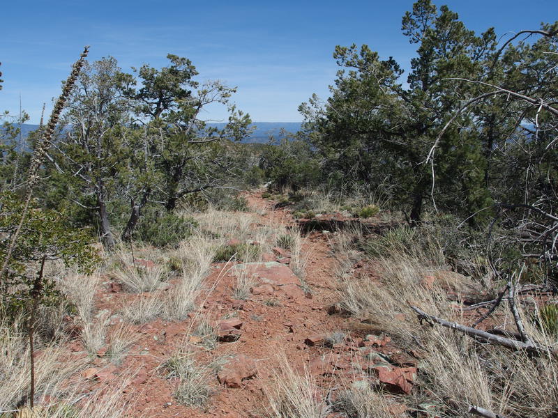
Easy, somewhat rocky trail
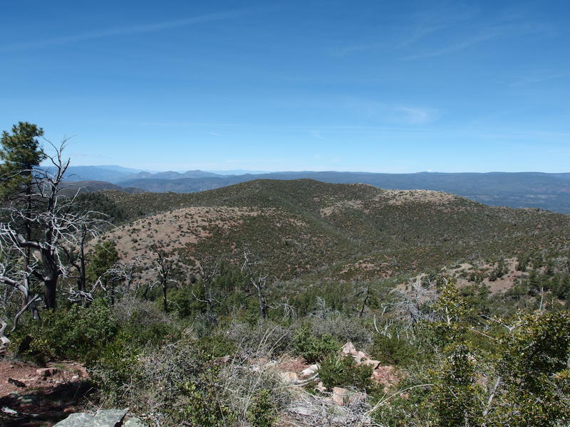
Northern hills of the Mazatzals
Red rocks began to show up along the trail and rolling hills showed up to the west. I was getting close to the end of the AZT section of the Mazatzal Divide Trail. Soon the AZT would curve left onto Red Hills Trail (so the red rocks and hills made sense) and take that towards LF Ranch and across the East Verde River. Red Hills Trail is another thing I need to check out on the Mazatzal Project, that and Wet Bottom Trail and Brush and Bull Springs - man, there's a lot of trails that I haven't touched yet. For now I gazed westward and optimistically imagined myself over there in a few months.
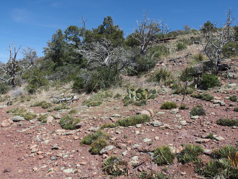
Cactus, trees, and shin-stabbers on the hillside
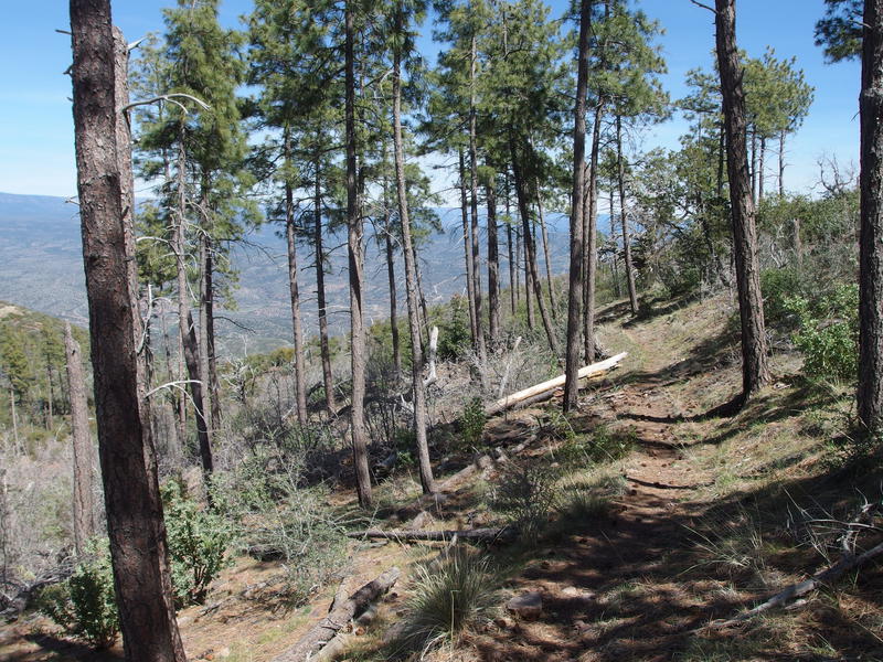
Spotty stand of pines near the top of the descent
A junction showed up and I took the right fork, staying on the Mazatzal Divide, which started with a pleasant stand of ponderosas. Not a bad way to start. It didn't last long and was soon replaced with the same short growth and charred trunks that I've grown to expect. At least there was plenty of big views with so few trees. Once the trail curved around the hill I got another good look at North Peak, all the more impressive from this angle, with the rolling hills covered in short, cropped brush in between.
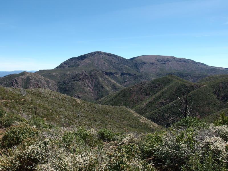
Last view south for a while
From here the trail played a fun game. It descended steadily, some parts steeper than others, winding a crazy path along hillsides and over saddles and swinging into drainages. Compared to the steep climb from the morning this was a treat. The Mazatzal Divide takes six miles to make the same elevation change that North Peak Trail does in two. If I end up taking this uphill I could probably keep a healthy pace. Downhill felt great on my fragile knees.
On one shaded switchback I did stop for a break. Not because I had to, but because I was hauling two liters of water and a ton of good snacks. I drank one liter and dumped the other, figuring that it wasn't worth it to haul the extra few pounds back to the van. Five downhill miles shouldn't dry me up too much.
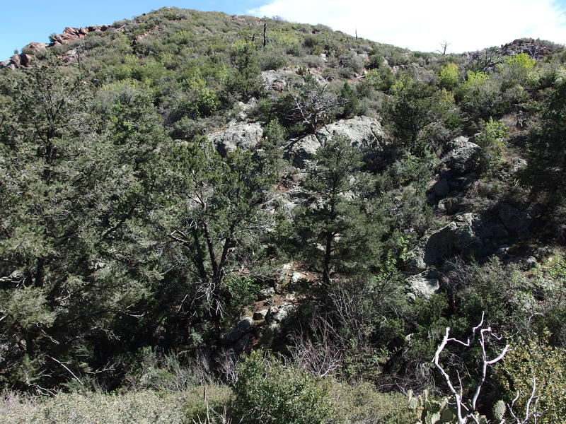
Some lush growth below a spring
A short distance later and I passed a steep, rocky canyon with a steady drip draining down it. The spring didn't have a name, though it did appear to be dependable based on the thick growth below. Beyond that there was an interesting red rock outcropping, exposed crumbly stuff that the trail swung close to and around. That's one thing about this open land - I could see practically the entire route laid out in front of me. There was little, if any, surprise waiting for me around the bend. And descending just meant that the big views were shrinking. I began to get a bit bored of this section.
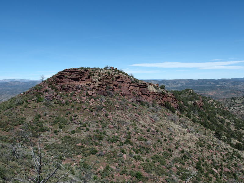
Lonely rock outcropping along the descent
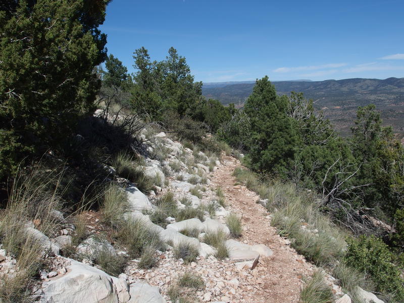
Burst of white rocks along the trail
That may be too harsh. At some point I began to leave the burn area and the trees started to grow taller and fuller. The rock formations changed from the red hues to white, and some old ranch fencing followed the path downhill. A few swings of the trail and I got one last good look back at North Peak, looking all massive and majestic. Perhaps I should have climbed it. Daylight wasn't an issue, nor was time, though I'm not sure how my legs would be feeling right now. Chances are that I'd be just leaving Pete's Pond now instead of approaching the trailhead.
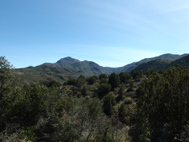
Afternoon sun on North Peak
A few more swings and a rocky crossing of City Creek and I was back at the trailhead. The temperature was a solid fifty degrees warmer by now, foggy breath a distant memory, and I traded in my sweaty hiking clothes for a t-shirt and shorts. Even if I didn't climb a mountain I had just made my first dent into the Mazatzals this year, an eighteen mile hike that included thirteen miles of brand new trails. Which left another two hundred-plus trail miles to go for the year. Perhaps my next adventure should be a longer, multi-day ordeal.


-
Jacob Emerick
Feb 4, '22
Adam! Great to hear from you, and excited about the SotA hobby. I've heard of others doing it to (or even just finding the remnants), it sounds like a really cool project. Also glad you've been exploring the Mazatzals, it's a really wonderful range. Hope all is well with you too, it's been too long since we chatted.
Add to this discussion