Mt Baldy Super Loop
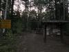
Mt Baldy rises from the edge of the Mogollon Rim, towering above the lofty pine-covered plateau to an impressive 11,409', making it the second highest mountain in Arizona. While some sections of the mountain were damaged in the Wallow Fire of 2011 it is largely pristine, with some of the finest alpine terrain in the state. There are a few trails in the Mount Baldy Wilderness that form a convenient backpacking loop, though this route does not offer the expected sweeping views one would expect, as the bald summit itself is located within the restrictive White Mountain Reservation.
18 miles didn't seem like a long enough hike to justify the four-hour drive. That's the backpacking loop, starting on FR 273. The two trails on each side of the loop do extend north, away from the mountain, into the nearby town of Greer, to make a longer route over 30 miles, a distance that felt more worthwhile. I drove up the day before and camped along a quiet two-track, then snuck a few hours of sleep before waking and driving to Greer, parking and walking down an empty main street at four in the morning.
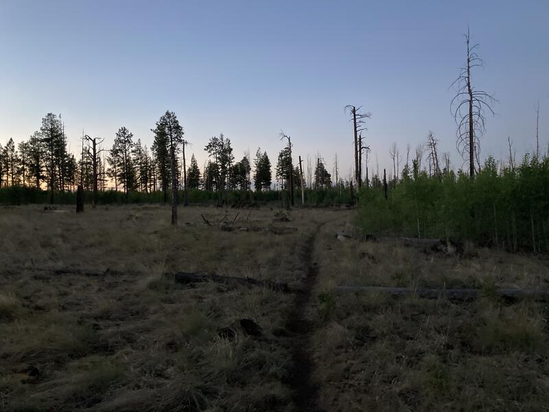
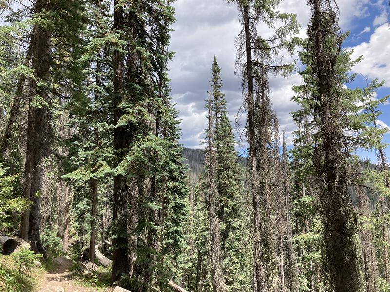
Dim morning light on East Fork Trail
Sunlight rushed in quickly. By the time I climbed up East Fork Trail along Amberon Point, which protrudes over the south side of Greer, it was filtering in through the skeletal forest, and I startled a small herd of elk in the dim light. The trail fluctuated between burn damage areas, with deadfall and young undergrowth crowding the well-defined path, and huge meadows of grassy openness. Bugling elk and waking birds echoed in the crisp air as I trotted along. I was in my happy place, an empty trail and few sounds breaking through the forest's morning ambiance, and I relished the solitude.
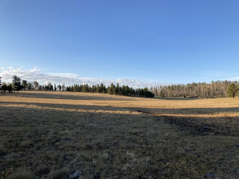
Big alpine meadows
A few minutes before seven and I reached FR 273 and a 2-liter water bladder that I had stashed the night before. Refilling my water and wolfing down a few snacks didn't take long, and I skipped across the road to join up with the popular East Trail that climbs the side of the mountain. There were a few immediate changes: the fire damage completely disappeared, the path was wide and maintained, and other groups of hikers began to show up. It was nice to see other people, and everyone was polite on the trail, though I did miss the earlier silence.
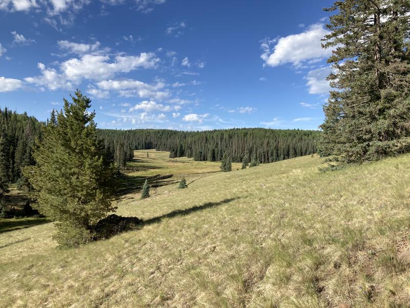
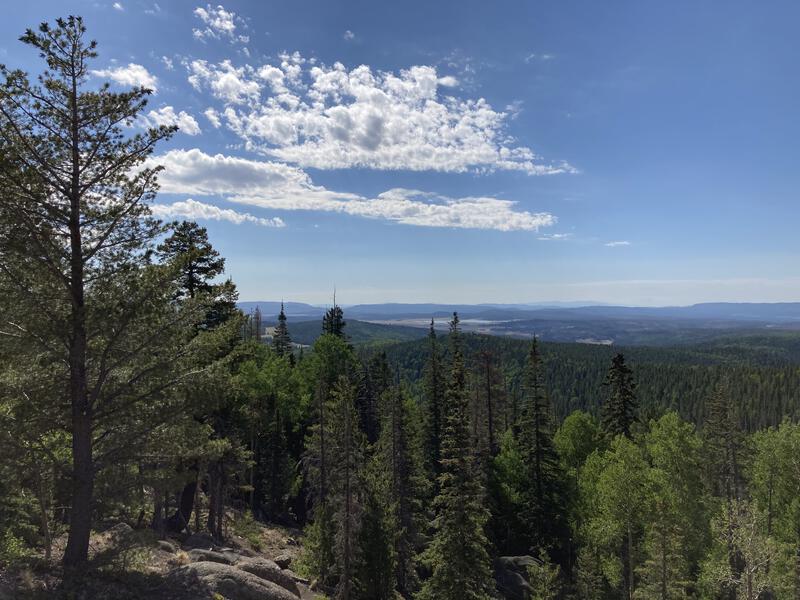
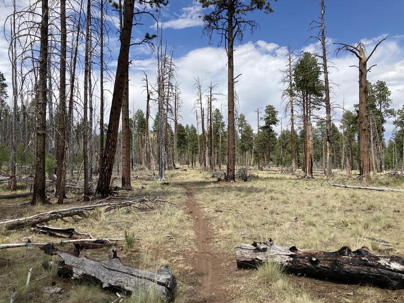
Huge stands of unburnt pines
The route started along a shallow valley, with open grassy plains surrounded by tall pines, and I passed a few backpackers still waking and breaking camp. When the trail began to climb, out of the valley and away from the water, it entered forested slopes and I saw fewer campers. I tried to push up the switchbacks between rock hoodoos and tall pines but my legs were flagging. 12 miles in 4 hours is a lot. Even though I had not planned to rest until I reached the highpoint I stopped at the next rocky vista and stretched out my legs, relaxing and enjoying the views.
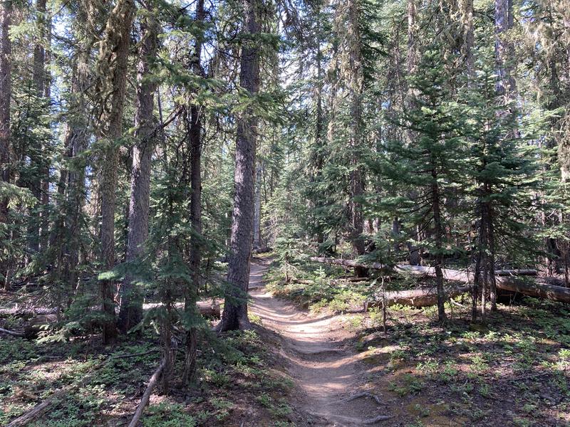
Perfect footpath under the pines
Long view back at the reservoir
Two backpackers were resting here and we chatted briefly, talking about this and other Arizona hikes. They highly recommended New Mexico's Gila Wilderness, located a few hours to the east. It seems interesting, maybe an opportunity for a four- to five- day backpack, given how big and far from Phoenix it is. I thanked them and continued up, rested legs eager to finish the climb.
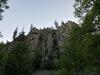
There were a few more rocky vistas and even more sections of thick forest, and I got some good views back north to Greer and a few limited ones west into the Little Colorado River valley, where I'd eventually be hiking down through. A sudden set of switchbacks showed up below the summit and some unexpected burned forest. I'm not sure if Wallow had selectively chosen this flank or if there was a smaller, separate fire here. At the top of the switchbacks was a small spring, just enough to muddy the trail as it trickled through lupines, and debris from a plane crash, and then I was at the highpoint of the loop.
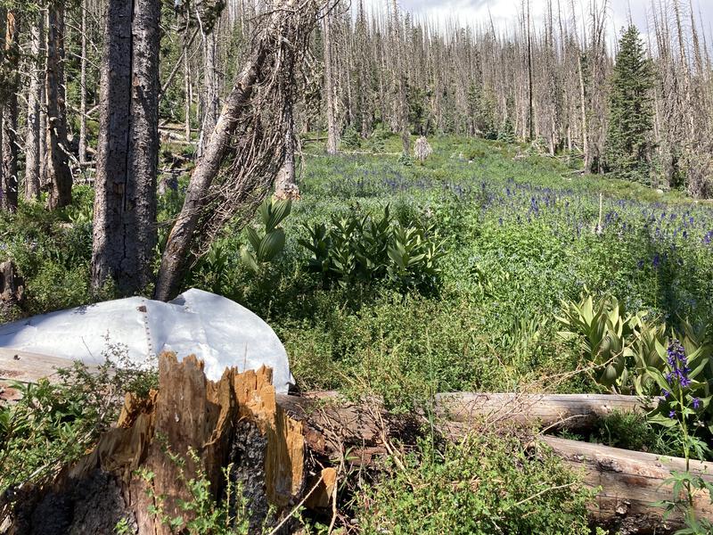
Flowers among the plane debris
A half-mile separated me from the summit, so of course I cut off-trail and made for it. There was a simple path to follow and, while it was steep, it didn't take long to get my first big view south. A looming dark cloud waited up there, feeling close enough to touch, and the sight of the storm underneath stopped me in my tracks. Sure, it was summer in Arizona, and everyday has the potential for storms in the mountains, I just wasn't expecting it to hit so early in the day. I took a few photos and retreated before ever reaching the actual summit.
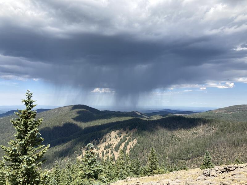
The coming storm
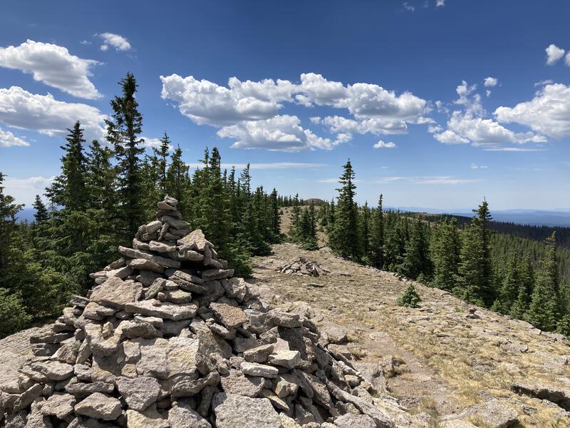
Summit cairns
Downhill felt luxurious and I stretched my legs, plowing through the miles on the easy switchbacks of West Trail. I passed one or two backpacking groups still on their way up and I warned them of the coming storm, trying not to sound too alarmist, and also aware of how miserable I've felt trying to set up camp in the rain. There were sections of green forest and sections of burn, and before too long I was at the bottom, strolling on the Little Colorado, back in the familiar rolling grassy plains.
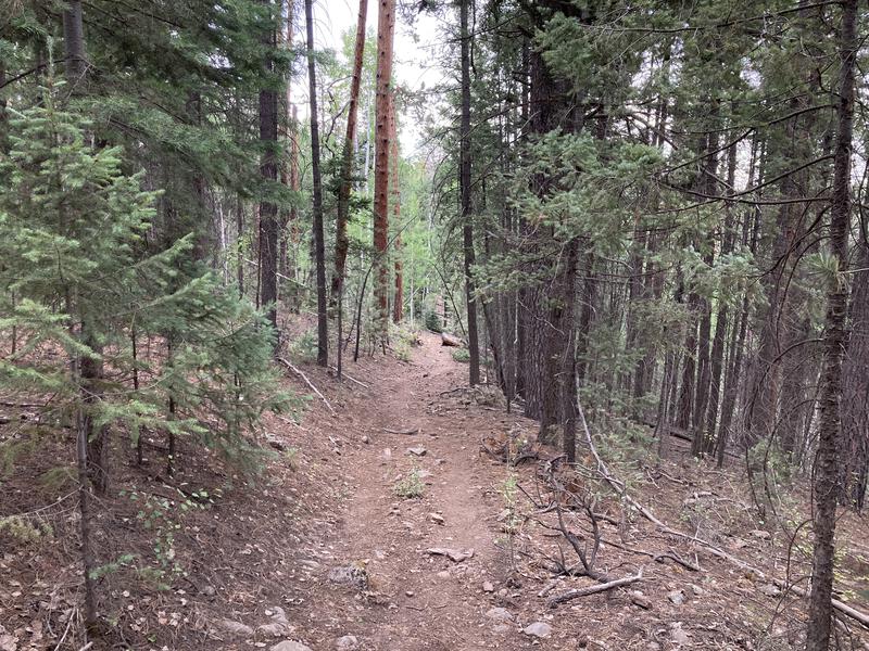
Tall pines on the descent
At noon I stopped briefly to filter some water and eat some lunch. There was a promise of rain in the air and a few more groups of hikers than I'd expect this late in the day, but I needed some extra water to finish the day and the shade was tempting. Sprinkles fell lightly on the small mountain creek, barely enough to be concerned about yet, and I kept my poncho in my pack when I continued on.
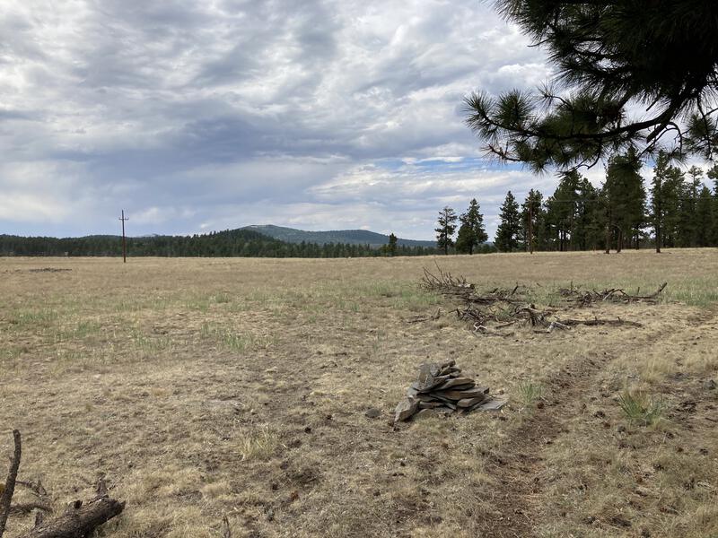
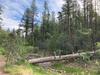
The last few miles passed and I returned to FR 273, with only West Fork Trail left for my loop. As soon as I left the wilderness the sounds of people faded away and I was left with open plains, grazing cattle, and burned forest. This area was hit much harder and deadfall with overgrown brush became the norm. Even with the cloudy skies the heat felt tangible and I was thankful for the extra water I had pulled. I passed by the one spring along the way, a muddy mess fouled by cattle, and sipped on the clear creek water from my pack.
Burnt forest on the hike back
Cloudy skies over Mt Baldy
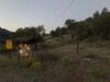
Burn damage faded as I entered the outskirts of Greer, likely due to increased protection of private residences. The trail, while still well-defined and obvious, felt intrusive as it followed property lines. Soon it dropped down and skirted next to a quiet fishing pond, obviously man-made, and the sky finally opened up.
Last descent before Greer
I jogged the last ten minutes and reached my Jeep with mild soakage, changing quickly on the empty road into dry clothes before hopping in. I had planned on a clean ten hour day, which would have kept me out of the rain, but ended up taking a full extra hour of breaks. Not sure if the elevation or distance had worn me out more. Anyways, it was a most enjoyable day, and I still got home in time for (a late) dinner. I can't wait to bring some friends (or kids) up here for a relaxing backpack trip in the future.
Comments (0)