Keweenaw Hike - East Bluff
Angry no trespassing signs shouted down on me from high in the trees. They were scattered through the woods, not in a solid line, and it was confusing to know where the actual property line was. The only thing that was obvious was that the wide, easy road leading from Keystone Bay was private while the tangled, overgrown road to the right was unmarked. I turned to the overgrown option in the hopes that it would loop around and eventually take me to the Mandan Loop.
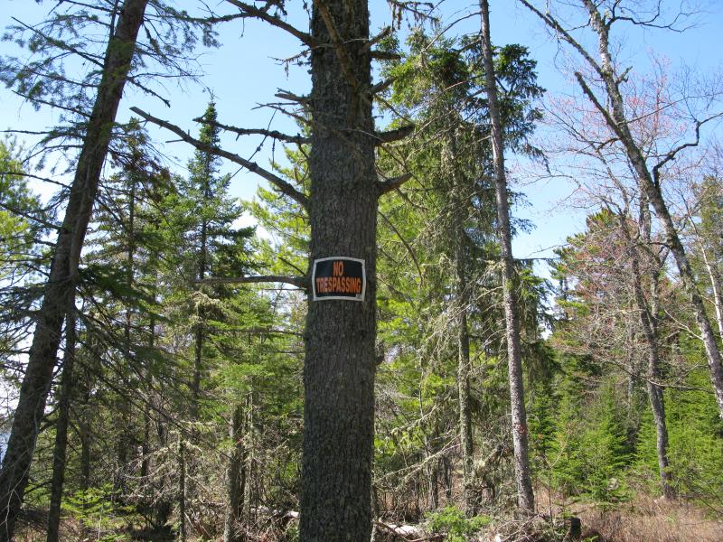
No trespassing sign in the woods
My entire day so far had been spent hiking along the shore of the Keweenaw, over beach, trail, and rock, and now it was time to head back to my car. The morning route had formed a huge semi-circle, reaching from near-Horseshoe Harbor to Keystone Bay and including High Rock Point, Schlatter Lake, and Keweenaw Point. My legs were running out of steam. I was hoping for an easy way back, a relatively straight line back up to my car.
The logging road had high weeds and a few downed trees sprawled across it. However, it felt like heaven compared to the wild variations along the shore. I strode up the mild grade, enjoying the stretch of a good stroll and the steady earth, only slightly winded from the rising ground on the way to Bay Lake. As I walked I looked around, curious to see if there would be more property signs and keeping an eye out for any forks or branches (the old tracks led east of Bay Lake and the new curved south and west). Also, there were a few unexpected outcroppings just a few feet into the woods, interesting blocky white rock making a sharp contrast to the deep green pines around.
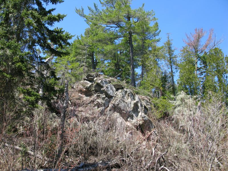
Unexpected croppings rising up in the woods
I never found the east route. The road curved west, getting better as more tracks joined up with it, and I became worried that the private drive that I had tried to avoid had snuck up onto my path. A gate showed up soon enough with a few signs on it, proof that even my seemingly legitimate sidetrek led through restricted property. I sheepishly walked around it, wishing that I would have found a better route, and continued onwards. At least I was on public land now, with a relatively straight track to lead me north to the Mandan Loop.
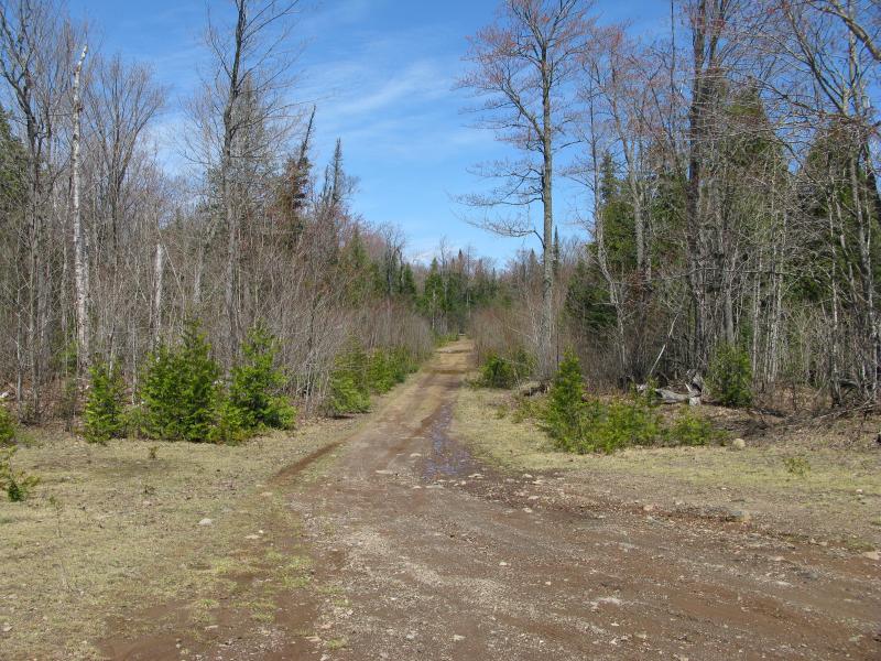
Rutted, rocky road leading inland from Keystone Bay
The Mandan Loop is an interesting road. It leads east from the end of US-41, way up by Copper Harbor and Lake Fanny Hooe, and curves with the peninsula south than west before reconnecting with the highway at the old town of Mandan. It never touches the shoreline even though it parallels it, ranging from a mile to two miles distant, with numerous spurs branching off. I've driven it through once in my Saturn Ion, more for research than to start a hike, and it was a tough drive. I scraped bottom numerous times, a few times on solid rock, and was very grateful to make it out in one piece. When I came out onto the Mandan Loop today there were two signs marking the road to Keystone, faded spray paint on the bedrock and a short sign post. Even if it is mostly private Keystone Bay is easy enough to find.
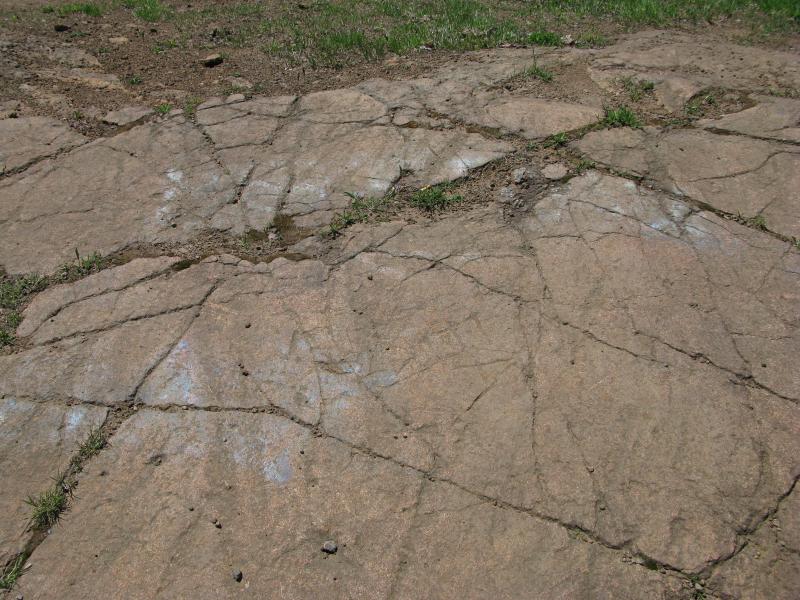
Faded paint marking the way to Keystone
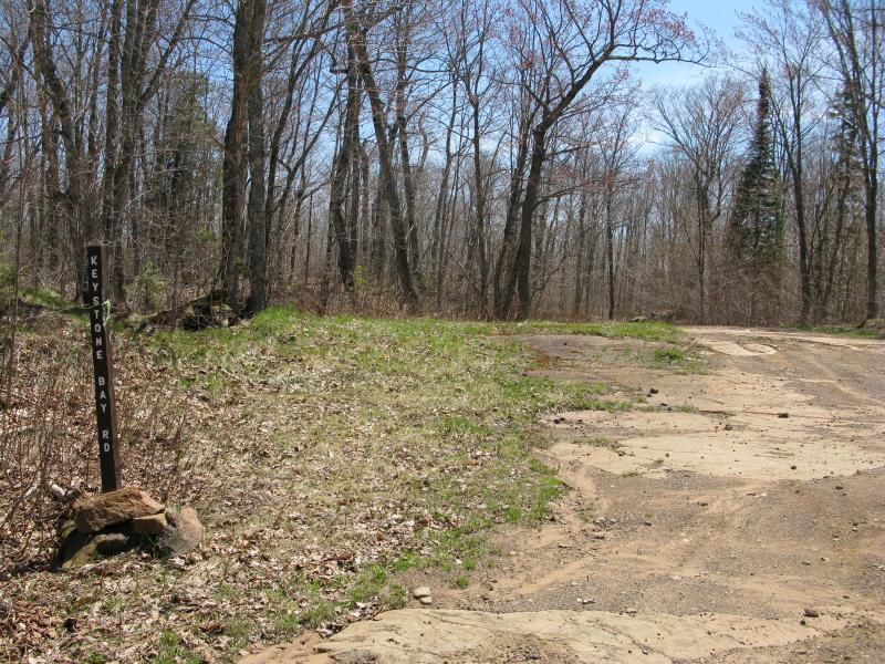
Newer road sign
A quick jog east on the Mandan and I stood at an unmarked dirt road. Some maps mark this as Burma Road, though I would be branching off the marked portion soon enough. I stopped here, eager for some more water. The woods were hot and still and I was now on the home stretch, unconcerned about my water supply. As I rested two four-wheelers sped past me, a man and his daughter, slowing only to wave and then roar past. Between the private property signs at Keystone and these two it was obvious that my quiet, lonely hike was drawing to a close.
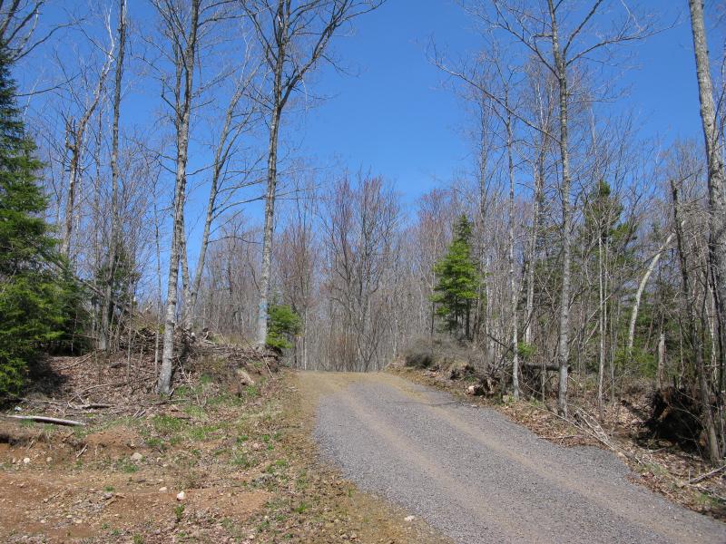
Recent road improvement on Burma Road
I began to climb. My destination was on the eastern most chunk of East Bluff, a small cleave off the main bulk that held a tall radio tower. I always found it funny that there was a tower out here and no cell reception, never quite understanding what it was used for. Not that I wanted reception out here - rather enjoy being cut off from the network - I just thought it was odd. The tricky thing about the climb were the roads. Burma Road quickly sliced off to the west, following the base of East Bluff, and there was a route that continued north, but there was close to a dozen forks along the way. I would stay left on most of the splits, right on a few, and my map of this area was questionable. At least it was only a 400' climb to the tower and I had old logging roads to follow (or, at least, attempt to follow).
Each step gave me a little more elevation and brought me closer to the car and more water. It was slow and quiet in the woods, my tired legs doggedly crunching forward over dead grass and brown treads. There were a few creeks to pass over and a few puddles to work around, and I kept moving forward.
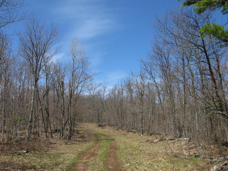
Two track and barren trees near the top of East Bluff
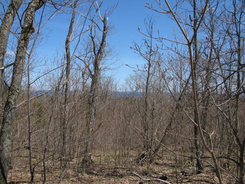
Distant blue of Lake Superior through the trees
Lake Superior began to show up on my right, a dark blue line under the light blue sky. Distracted, I lost count of the forks and made a wrong turn. With one eye on the blue-on-blue horizon I soon found myself in the middle of the woods, my track forgotten in the thick undergrowth. Cursing under my breath I turned slightly to the left, continuing up the elevation, and hoped to find another path.
It took a good twenty minutes of loud crashing through the dry brush before I burst out onto another road, seemingly wider and more defined than any I had been on for a while. I also noticed that the land dipped to the west, a sign that I was near the top of the cloven bluff and near the tower. Excited I followed the two-track, eyes searching skyward, and eventually the tower showed up.
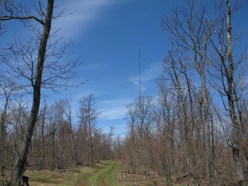
The radio tower in the woods
Before long I was standing at the base of the tower. The small building and fence looked squeaky clean and well-maintained, odd to see so in such a remote location. There were a few tracks leading away: to the south (the way I came), to the north, and two that lead down east. I believe the east ones meet up a short distance down and become one road before ending at the Mandan Loop. For now I was mostly interested in the tower and the view. And my, what a view.
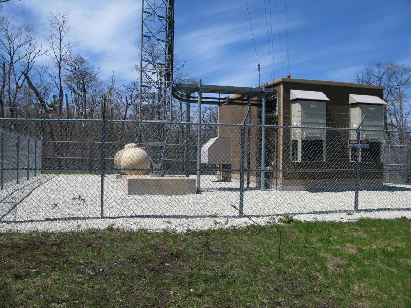
Clean facility for the tower
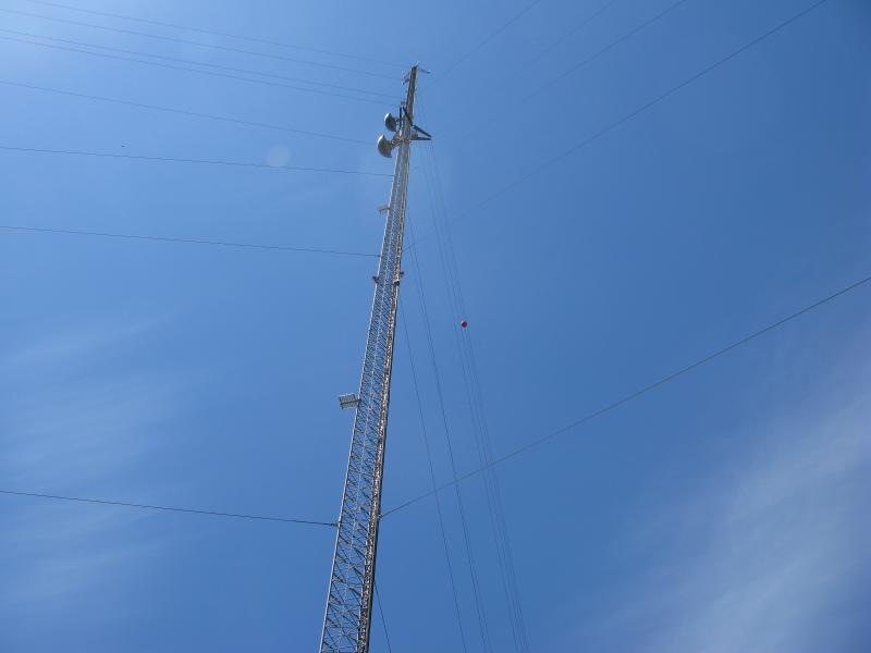
Up at the tower, stark against the blue sky
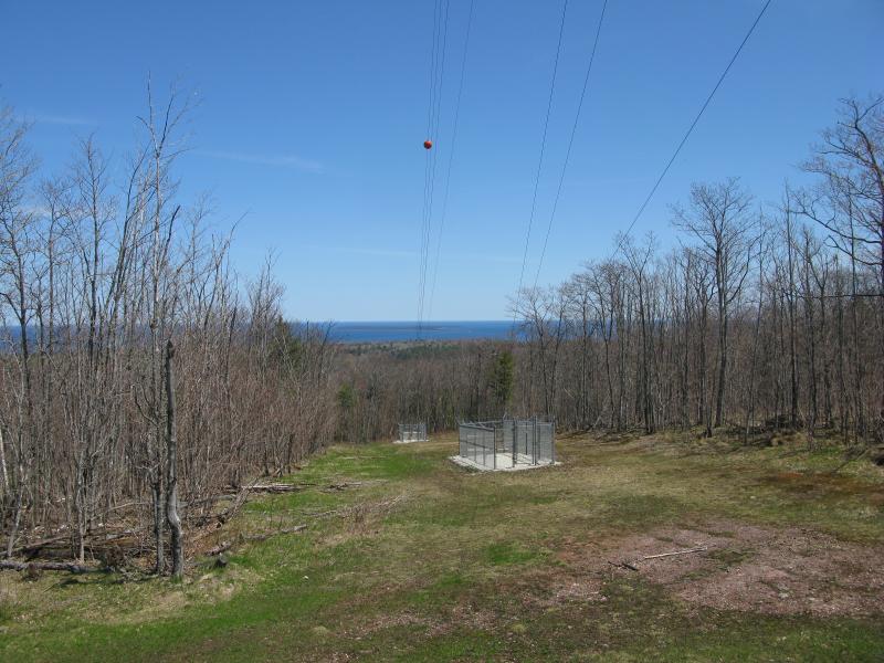
East along the guidelines towards High Rock Point
Sure, the tower was cool, rising up suddenly into the blue sky. The view was the main feature. One of the support lines led east, towards High Rock Point and Manitou Island, and I slurped up the view. I could see a bit of the north and south shore as well, hints through the trees. My whole day's hike lay out in front of me, so close and yet so far away, and it was pretty darn awesome. The one thing I couldn't see was Schlatter Lake, which would have been a bit to the right of the open cut.
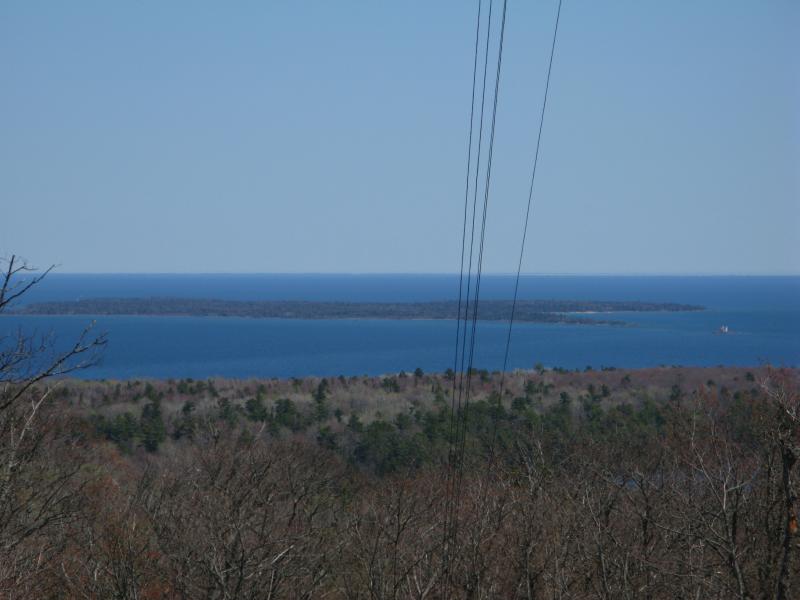
Closer look at Manitou Island in the distance
Manitou Island was an interesting sight to behold this far up. It was flat, unlike the Huron Islands or the rocky lumps by Marquette, and I could make out an appealing beach on the southern shore. That would be a cool adventure one day, a hike around that island, though I'd have to find a way out there. I'm far too green with kayaks to attempt a solo trip out through Lake Superior's currents.
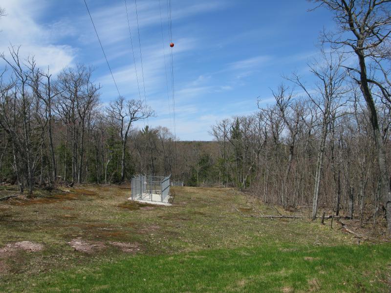
Woods to the north
It was time to head down. The north track made an easy route back to my car, bumping into the Mandan a few hundred yards away from my parking spot. I trotted down, enjoying the tall pines and easy downhill route. When I reached the bottom I was greeted by a huge pair of beaver dams that completely flooded the road in feet of water and was forced to make a long detour around. I was exhausted by now, thirsty and drained from the sun, and I took little care as I plowed through the undergrowth.
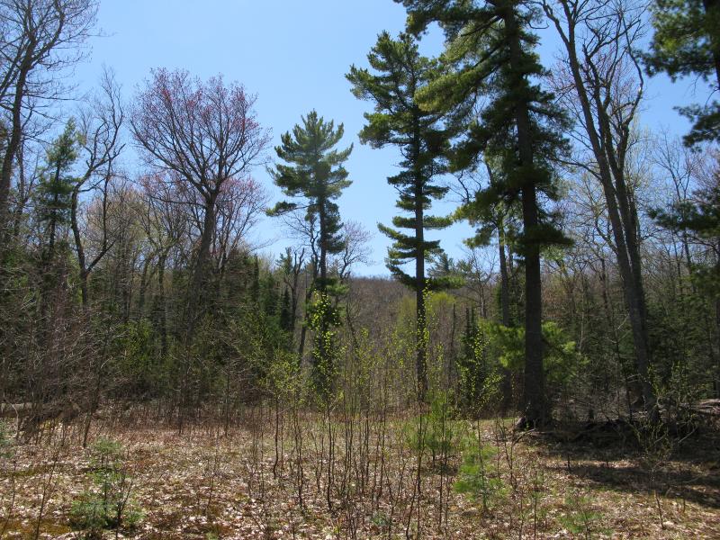
Intermittent tall pines on the route down
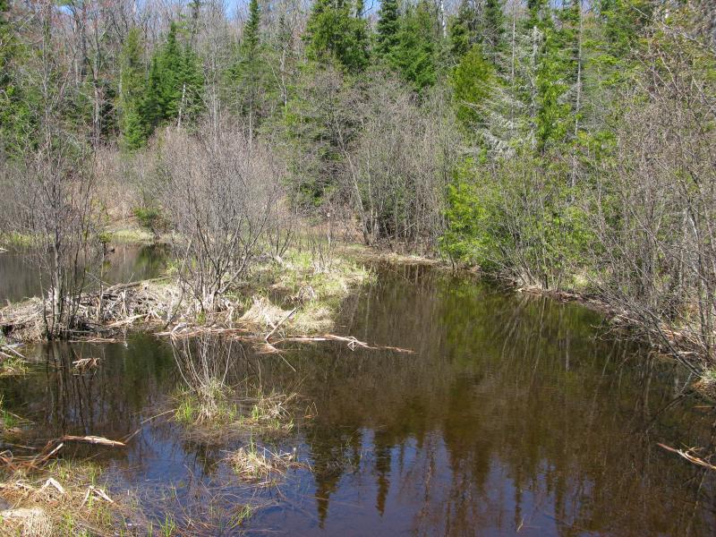
Beaver-dam flooded road near the Mandan Loop
And that was it. I had hiked around the tip of the Keweenaw, from the north shore (1.5 miles east of Horseshoe Harbor) to Keystone Bay, past the Rocket Range, Schlatter Lake, High Rock Bay, and Keweenaw Point, and even climbed East Bluff on the way back. The final route was around 20 miles and it took me a bit under 10 hours total, not bad considering how much of the hike was off-trail. The two things I skipped out on that I had hoped to visit were Big Bay/Fish Cove and Lost Lake, though they would have added at least five more miles a few more hundred feet of climb, not to mention plenty of extra bushwhacking. Maybe, with more water and a few longer breaks, those two would have been reasonable additions. When I stepped back in my car I was happy, exhausted yet satisfied. This hike was a big one, more than I expected to be able to do in a day, and the day had turned out exceedingly well.


-
Jacob Emerick
Aug 14, '13
Ha ha, too true - there are no waterfalls on this hike. Montreal was out there, just a few miles away, just didn't make it that far. Still, the trees were pretty :P
Add to this discussion