Isle Royale, Day 4: Magnificence of the Minong
Dull grey skies over the trail junction reflected my stormy mood this morning. The trail from Little Todd Harbor had been a dark, slippery mess and both my boots and pants were already thoroughly soaked from heavy dew. Also, just as I crested the last rise to the junction, I realized that I had left my travel itinerary behind at the campsite. It was a silly piece of paper in a plastic baggy that the ranger at Rock Harbor had filled out for me. I wasn't sure if I really needed it, not having seen a ranger since Lane Cove. Better to be safe than sorry. I let my pack drop with little ceremony and headed back down the trail, back down the slick rocks and through dew-covered brush to get the silly piece of paper.
It had not been a good morning. I didn't sleep good even though I slept in, then had to deal with an over-soaked tent, and then had gotten wet trying to filter water out of the lake. Add in the overgrown trail that I now had to pass through three times, twice just to fetch my itinerary, and it made for inauspicious start to a long day on the Minong. I had hoped to be at Lake Desor by nine for breakfast; now I debated skipping breakfast and snacking through the morning. When I finally made it back to the junction and my pack I tucked the paper deep into a top pocket and tackled the trail with vengeance. And swiftly bumped into a steep rock climb.
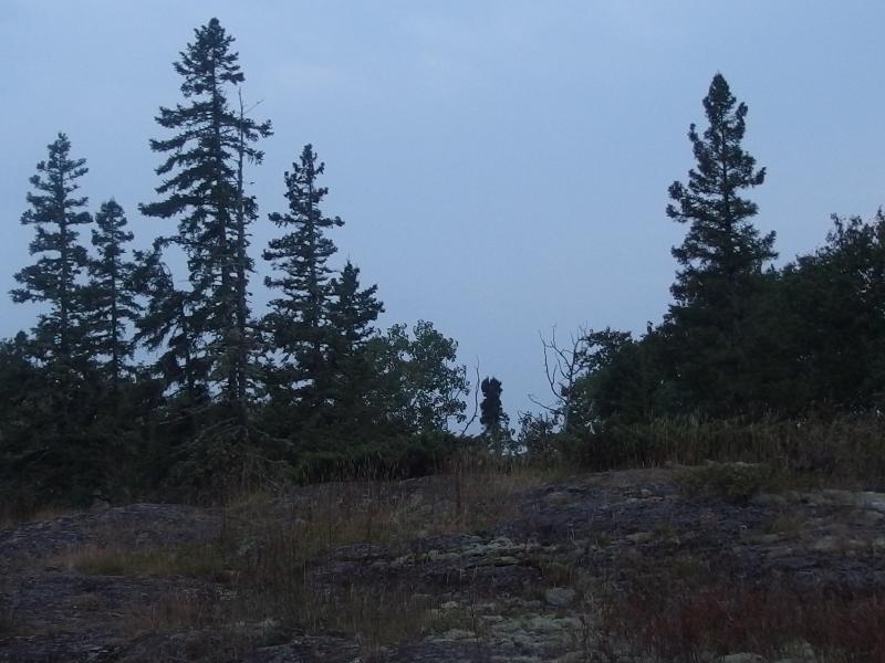
The first climb up the ridge
Maybe the morning delays weren't so bad. The rock bluff made route finding difficult. There were a few sections of trampled grass and some short rock cairns, though they both blended in well with their surroundings. Doing this in the dark would have been tough, and if I booked it I could still have time for breakfast, too. As I crested the first climb a loud rustle and the obvious shape of a rising rack twenty feet away shook me wide awake. I was not alone on the trail.
A few red pines separated me from the bull moose, enough to keep me from seeing its true size. He turned and ran before I could even think of taking a photo or running or, truthfully, doing anything except stare stupidly in his direction. The half-ton of creature made a lot of noise running off the bluff, crashing through brush and breaking branches. My first moose, a bull moose on that, four days in. I listened carefully for another minute before pushing onward.
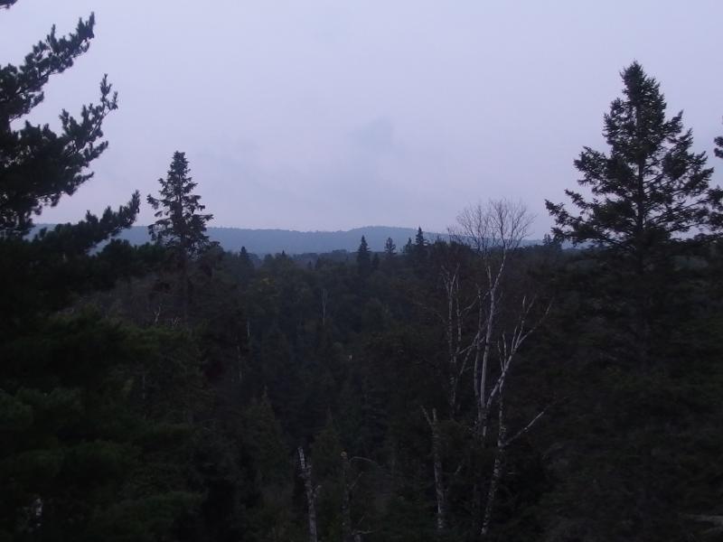
Greenstone Ridge in the hazy distance
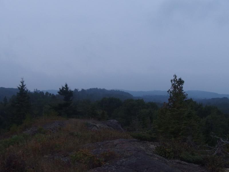
Hazy skies over the dark hills
While I was starting to get used to dim, cloudy mornings on Isle Royale, today seemed extra heavy. The sun should be starting to lighten up the east yet there was no light or no sign of the day breaking. Low clouds drifted by at or near my elevation as dark grey shapes against a dull background. At least the trail seemed easy enough. The rocky ridge stretched away in front of me. I didn't bother looking for cairns or trail signs that much. This ridge was the trail, as obvious as if it had been a highway through the forest.
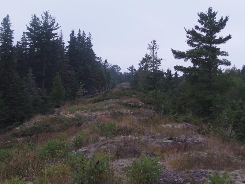
A long rock ridge ahead
When the rocky ridge ended it was a simple matter to re-find the path and make my way down. For the most part the trail would veer to the left near the end, play in the woods for a bit, and then scoop right back up as the ridge continued a few hundred yards away. Was this the 'tough' section of the Minong? The dips were no more than fifty feet deep, though the map promised a few over two hundred feet further along. I was starting to really cruise along when the rain started.
Light drops sprinkled the rocks around me and pattered loudly on leaves on either side of the ridge. I ignored them and kept moving, only slowing down slightly when faced with slickness on the downhills. The intensity of the rain drifted back and forth as if it was uncertain to stick around and I kept my poncho packed. A little rain never hurt anyone. It wasn't until a sudden downpour opened up and the water was streaming down through my hair that I finally unrolled the poncho.
The morning was already uncomfortably warm. While the rain helped cool things off outside I steamed inside of the poncho. Maybe those hikers who use a breathable rain suit with a separate pack cover know what they're doing. I continued even slower on the trail, slipping a few times on the dark rock of the ridge, hoping that thunder and lightening wouldn't be making an appearance with this little storm.
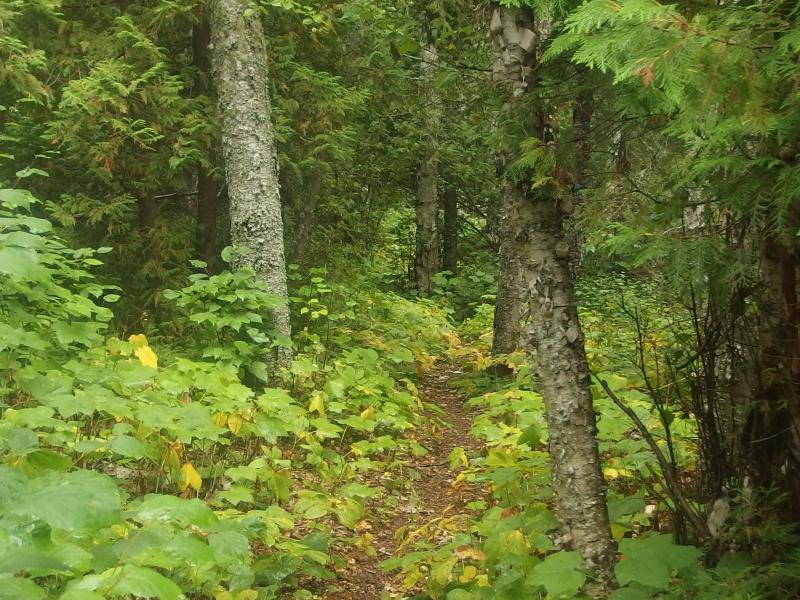
Green trail between rock spines
Those valleys of green forest between spines became a luxury, short sections of trail tucked away from the exposed ridge and with solid dirt underneath. When I reached the next one the rain seemed to fade away and I unpeeled the hood of the poncho and let the cool air rush in. I stood quietly in the woods and looked around, everything outlined with rain-washed freshness. There were a few pines and cedars around, otherwise everything was newer growth.
That's something worth pointing out. Isle Royale does not have a ton of old growth. As recently as ninety years ago there were logging companies on the island, and in 1936 a hungry fire consumed much of the southern forest. For most of my trip out here I had been in forests of softwoods like birch, forests that were still recovering from that time. There was some pleasantly old stuff up by Lane Cove and a few stands along the Minong that were probably protected by their remoteness, just not a lot of towering old pines like the ones I love so much from the Upper Peninsula. Hopefully I'd see some of those as I continued west.
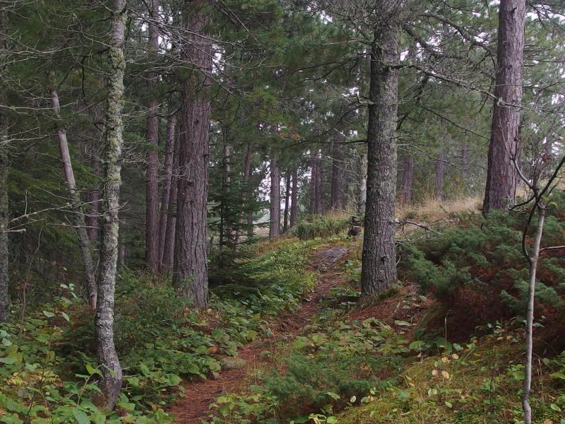
Misty trail under large pines
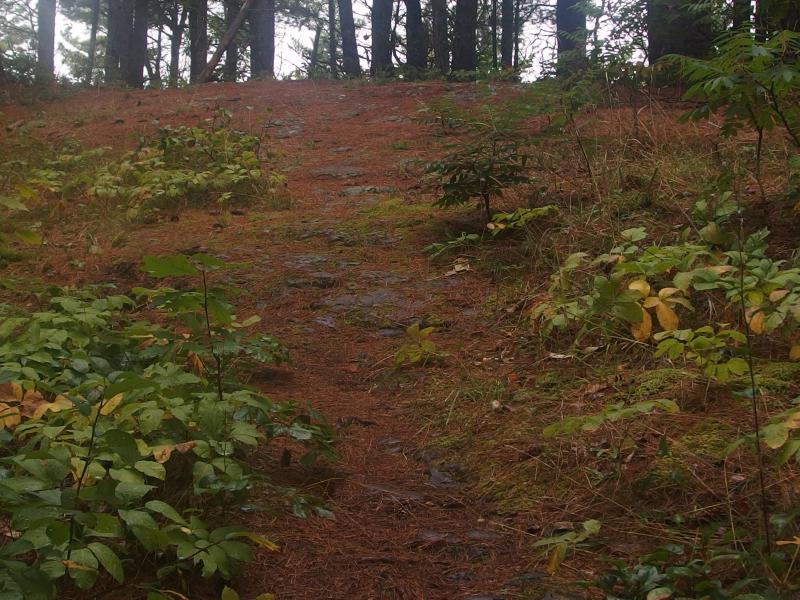
Pine needles on a steep climb
The rain faded away and I took off my poncho. I wasn't entirely sure how far along I was now. There had been the moose and the rain and one rocky spine after another. Speaking of which, the spines were beginning to grow in size. Where I once was able to cruise up the slope without pause I now had to stop a few times to catch my breath. I had a long ways to go and it wasn't worth slipping on wet pine needles or burning through all of my energy so early on.
I only lost the trail once. Rock cairns took me to the end of a ridge and suddenly stopped. This ridge ended in a sharp drop with tall thimbleberry bushes waiting some thirty feet below. I looked around the drop and didn't see any obvious way down, no more markers or path or anything. Guessing that the trail somehow circled around to the left, like it had done at the end of every other spine, I ended up in chest-deep brush that hid layers of downed pine branches. Wading through the mess, crackling and snapping loud as any bull moose out here, I eventually circled around to the right and re-found the trail. Never did figure out how it handled that steep drop, though.
Sun trying to break through thick clouds
The morning continued to pass by. I wasn't checking my clock but I could feel time slipping by. Light began to break through the clouds a few times, brief glimpses that showed me just how high up it had climbed, and I began to wonder just when I would find this Lake Desor. Then two guys showed up on the trail.
Two hikers on the Minong? I hailed them and we chatted a bit. Their trip was insane - they had left Rock Harbor the same day I did and were doing a full loop of the island, zipping down the Greenstone and now circling back on the Minong, easily clocking twenty mile days. They had made it down to Windigo and back around to North Lake Desor in three days. And here I thought my route was ambitious.
We quickly swapped valuable information. They recommended stopping at the lake to pump water, informing me that the minor elevation drop off the ridge was well worth the fresh water. There was another group they had camped with heading to Windigo today that I may bump into. Also, I should follow the top of the first beaver dam and not try my luck with the upstream swamp. In turn I told them about that spot I had gotten confused at, the hiker at Little Todd, and that they should take one of the group sites at their stop for the night (Todd Harbor). Then we separated. They had told me that the lake was a mere thirty minutes to the west, I was more than ready for breakfast, and they had many hours left to reach Todd Harbor for the night.
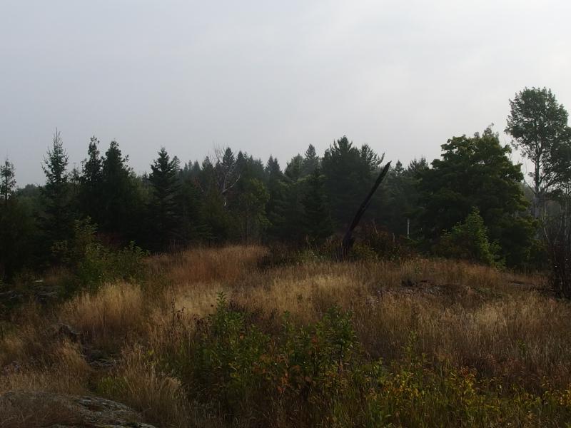
Grassy ridge on the trail
Less than thirty minutes later I turned down the spur trail to Lake Desor and trotted down the slight incline through a rustling forest of birch. There were only three sites on the shore, all unoccupied, so I went straight for the middle one. A large rock outcropping conveniently sloped down to the water's edge and I wholly claimed it. Stripping down to my boxers I laid out my pants, shirts, and boots on the sun-warmed rock in hopes to dry out the sweat and rain from this morning. Elegantly clad in only wool socks and boxers I carefully pranced around the rock, pumping water and making breakfast, shooing away the too-brave squirrels that circled around my pack like vultures.
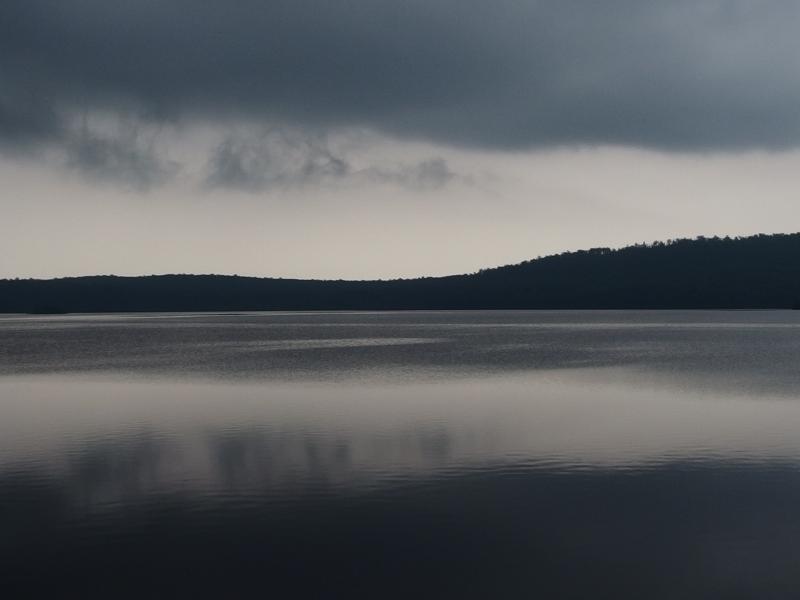
Dark clouds hanging over Lake Desor
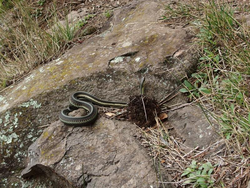
A large snake waiting
While I knew I had to push on to reach my campsite for the night I had a hard time rushing here. The lake was so scenic, with ominous dark clouds drifting low over the silent waters. A brace of four ducks slowly paddled within a yard of my seat. A huge garter snake came out to sun himself right below where I cooked oatmeal. I had breakfast, drank some water, wrote some notes in the trail journal, and then drank some more water. Then, slowly, I collected my clothes and began to get ready for the next leg. I had barely covered six miles this morning. Another fourteen were waiting for me.
As I walked out away from the camp with slightly damp clothes and a coffee-warmed stomach a rotten birch log whumped down off to the side. This was the second time I've heard a tree fall in the woods. The first time was out by the Huron River, while trekking through snow with my old hiking partner Faith. I wondered how different this trip would be if I had brought along a partner like Faith, or even Chris or Katie. There are more variables - twice as many potential injuries, twice the chance of gear failure - and that's all assuming I could even find someone crazy enough to put in mileage like this. I left the now-silent campsite behind, feeling quite alone, and returned back to the Minong Trail.
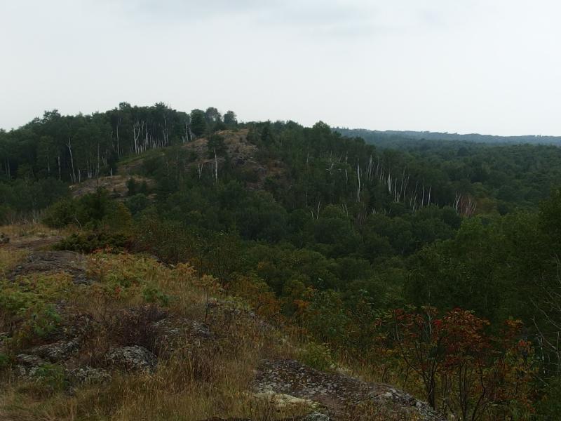
Long, winding rock ridge above Lake Desor
It was around noon when I started up the next spine and came upon a long ridge. It was obvious what the trail did so I spent little time looking for cairns. Follow what path you find, keep moving forward when you lose track of the way, and the path always fades back. I was still curious where things would get difficult. This was supposed to be the toughest trail in Michigan, requiring expert route-finding skills and toned hiking legs. I don't need to be flippant - I did lose the trail over some sections and the many ascents were tiring - it just didn't seem as tough as promised.
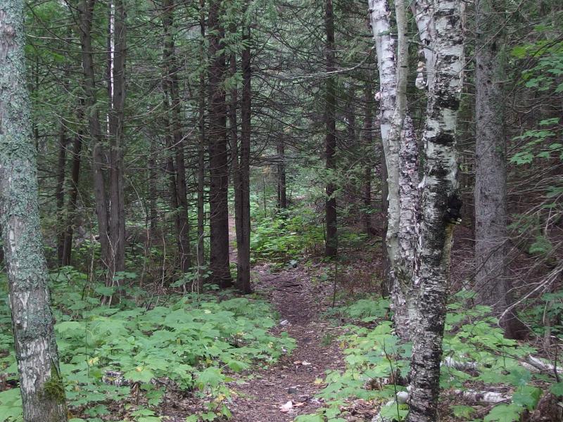
Easy trail through the woods
There was a good drop, a hard climb, and another good drop. The second drop left me in the woods for a short time winding through birch and pine on a cool path. I went over the path in my head as I trotted along, pushing with my poles to make up time. Back when I stopped for breakfast I had reviewed the map and split this segment into smaller, more manageable chunks.
10.6 miles lay between the Desor spur and the trail to Huginnen, the longest single segment of the Isle Royale adventure. Halfway along this segment were a pair of creeks and some flat, swampy land. This would make as good a place as any to fill up on water and pause for lunch. To reach those creeks I had to cross over four spines, each with drops and climbs over a hundred feet in height. After the creeks things would get worse. The second half of the segment was one rocky rise after another, at least nine in all, which I would be hitting during the heat of the day.
While I pondered on the day's journey I came upon another rocky bluff and glanced to the north. A wide expanse of calm water was barely visible through low birch trees. It took a minute to realize that I was looking at Lake Desor. What, what? I thought I'd be past that thing by now. The sun was still hiding behind clouds but that wasn't stopping the air around me from heating up.
And so began a painful game that I played over the next few rocky bluffs. Drop down a little valley, climb back up, glance over to the left, and catch a glimpse of the lake. It was haunting me. I knew from my map that the pair of creeks were nowhere near the lake, that I should be seeing swamps to the south and not open water, yet it stuck around. Annoyance was beginning to set in when the open ridges ended and the forest closed around me.
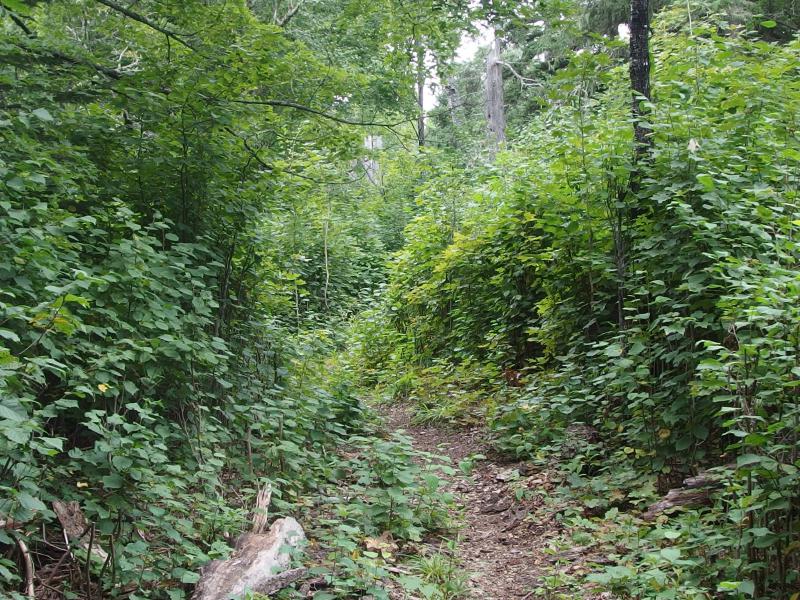
Tall walls of green brush around the trail
The walls of brush and oddly level path felt all the world like an old railroad grade. Between the humid temperatures, the Keweenaw forest, and this level path I felt like I had somehow walked right off of Isle Royale and onto the an old grade outside of Lake Linden. This couldn't still be part of the Minong Ridge Trail.
I tried to speed through this, to take advantage of the flat ground and open path to put some thrust in my step. It was surprisingly tough. Things started to feel a bit surreal. Breakfast at Lake Desor felt like it happened hours ago and this tall, brushy trail stretched on forever. I passed a few small creeks, any of which could have been the twin creeks that marked the halfway point, though none of them had enough to filter out of. Then a glade ripped straight out of the Pacific Northwest showed up.
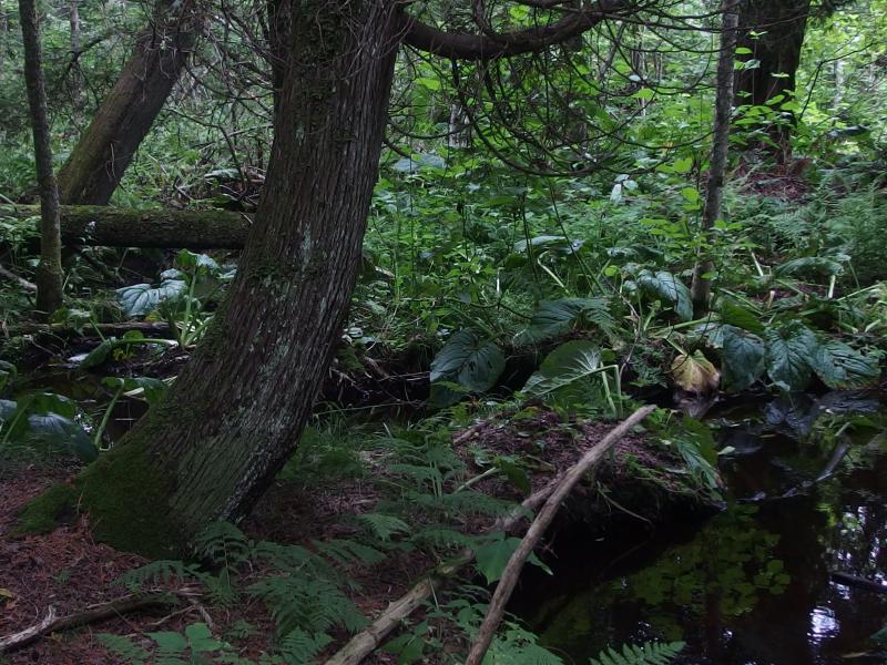
Thick growth around the waterfall and creek
This, this had to be one of the creeks. And my bet was that it was the second one. Dropping my pack I wandered a short distance downstream to filter some of the tannin-stained creek while the gentle sounds of a waterfall drifted towards me. I munched on a few snacks for lunch and relaxed for a short while. If this was the second creek than I was making decent time. Not great time, just decent. Definitely couldn't afford another break like the one at Lake Desor if I wanted to beat the sunset to camp.
There was a short climb on the far side of the glade, one that quickly spilled out onto a shaded swampy trail. That didn't bode well. Sections of the trail resembled the railroad grade-like path from before and much of the rest was a winding stroll under thick cedars. In the cedar swamps there were cedar legs stacked in a way I had not seen before, cut in two-foot lengths and stacked like a long row of firewood that sunk into the mud of the swamp. It made the path bumpy but easily passable and was probably easier to build than hauling in boards to construct boardwalks. Except for when the cedar logs simply sunk down out of sight under the mud and water. That's when crossing the swamps turned into lengthy detours jumping from one stump to another.
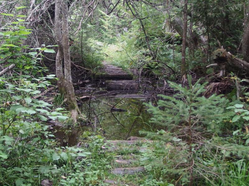
Deep water flooding the cedar path
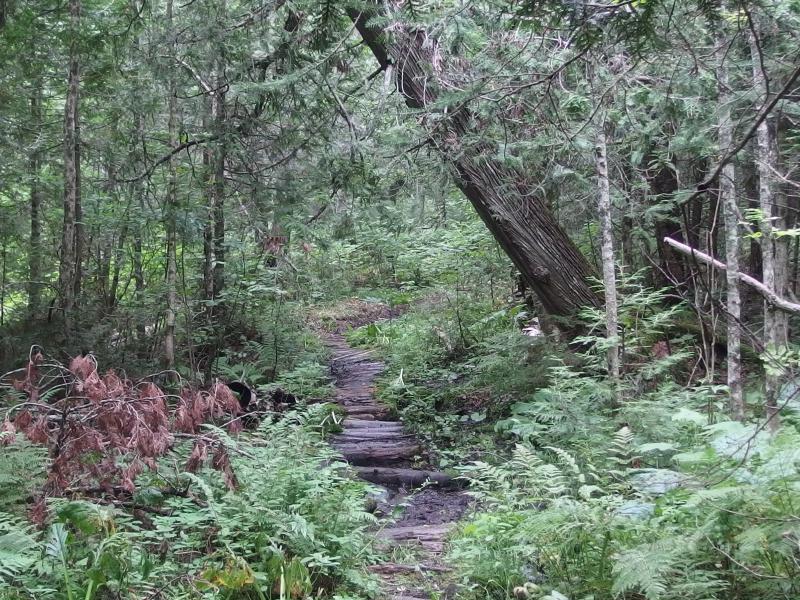
Winding wooden path through the cedar swamp
While this covered section made for a hot walk I couldn't help but admire the variation on this trail. There were pine forests and birch forests, cedar swamps and exposed ridges, steep climbs and level grades. Even if the hike was long and I was running low on time and energy there was plenty of variation on the Minong.
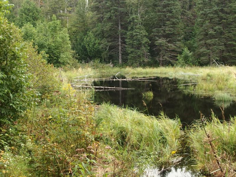
Huge dam in the way
The beaver dam showed up suddenly, tall grass grown up around dark waters. It was massive. And it seemed fairly obvious to walk on the brim of the dam. I had assumed that there would be a surprise here, that it wouldn't be so obvious after the last group's warning. Sure, there was a muddy trail that did fork away, and it looked dreadful. It quickly disappeared under sucking mud and the huge pond. Five minutes on that thing and I'd be wet up to my knees. I turned left and started along the top of the dam.
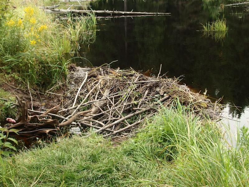
Wooden sluiceway on the beaver dam
Walking along the dam gave me an excellent view of just how awesome this thing was. It was huge, sure, and it had obvious sluiceways, multiple layers, and channeled streams below. These beavers were straight up engineers.
Crossing the dam was easy and I never got more than the soles of my feet wet. On the far side was a steep climb, a climb that knocked my breath away and laughed at my lunch rest, and I reached the top sweaty and tired. So that was the second creek, then. I was officially halfway and standing on an ugly, barren ridge.
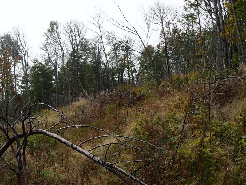
Barren ridge above the dam
The next few drops and climbs came in rapid succession. Drop, cross a creek or swamp, climb back up a hundred feet or more, and then cross a ridge that was covered with spiny plants and dying trees. Something changed with my mood after that beaver dam. Before that dam it felt like I was wandering half-lost through a forgotten forest. Now I was a machine. My legs turned trail snacks into forward motion under a hot afternoon sun. I don't quite understand how, but somehow on this section of trail, with the many rocky spines rising up and the sometimes-difficult creek crossings, I clocked some of my fastest speeds on the trip.
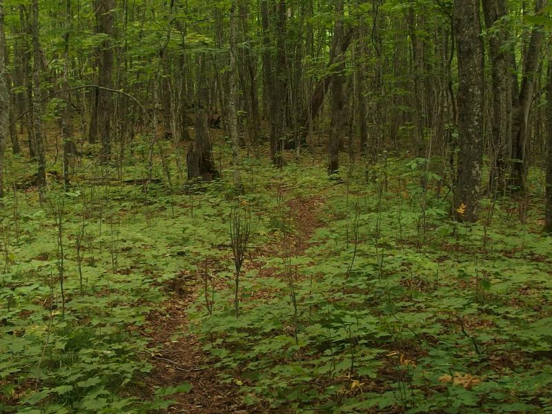
Winding trail through the forest green
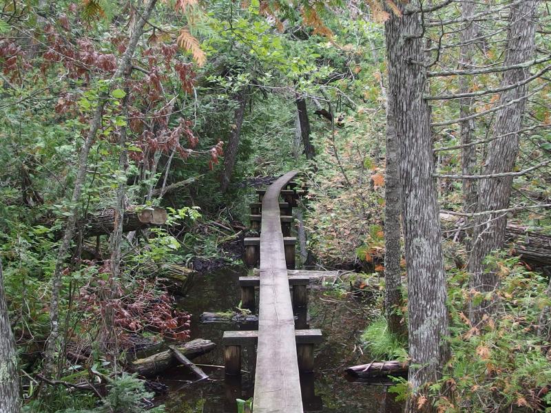
Easy boardwalk over a swampy section
It wasn't all tough going. There were sections that wound through bright green forest and long boardwalks. There were half-glimpsed views south towards Sugar Mountain and cool breezes off of Lake Superior. After crossing over the fifth or sixth spine I glimpsed a moving pack ahead of me. I stopped, took a photo from an overlook, then pushed on to see a surprising sight. There were two hikers ahead of me, the group who had left from Lake Desor this morning, and I had just caught up with them.
We had a good conversation, discussing the past few miles and that fun beaver dam crossing. They were a mother/daughter pair, and the mother looked much more hardy and comfortable out here than her younger partner. They had a hard time believing that I had come all the way from Little Todd today. So did I. I didn't expect to bump into anyone else today, especially with the long headstart they must have had on me.
Realizing that I was clocking a faster pace they politely stepped aside and wished me well. I cruised past them, climbed up another spine, and quickly got lost on the far side. The trail just petered out in the grass. There was plenty of trampled grass on the rock bluff where previous hikers had also wandered around confused, just no path that led off the rock and into the brush below. I slowly circled around, debating on blazing a path ahead, when a shout from above turned my head. The mother stood up there on the crest of the bluff, motioning that the trail dipped away to the right. Chagrined I headed up.
Instead of pushing on I decided to stick with them for awhile. They seemed very experienced and had great stories about hiking the Manitou Islands down by Sleeping Bear Dunes. They were also thinking of doing the Porcupines soon. I recommended a few other areas of the Upper Peninsula too, like the McCormick Tract and Huron Mountains, though most of of my hikes had been over land that wouldn't be easy to backpack through. It was nice to have someone to chat with and relaxing not to worry about getting lost or hurt being alone. Together we crossed another beaver dam, climbed up the far side, and then slowly made our way down the last big drop for one of the Washington Creek tributaries.
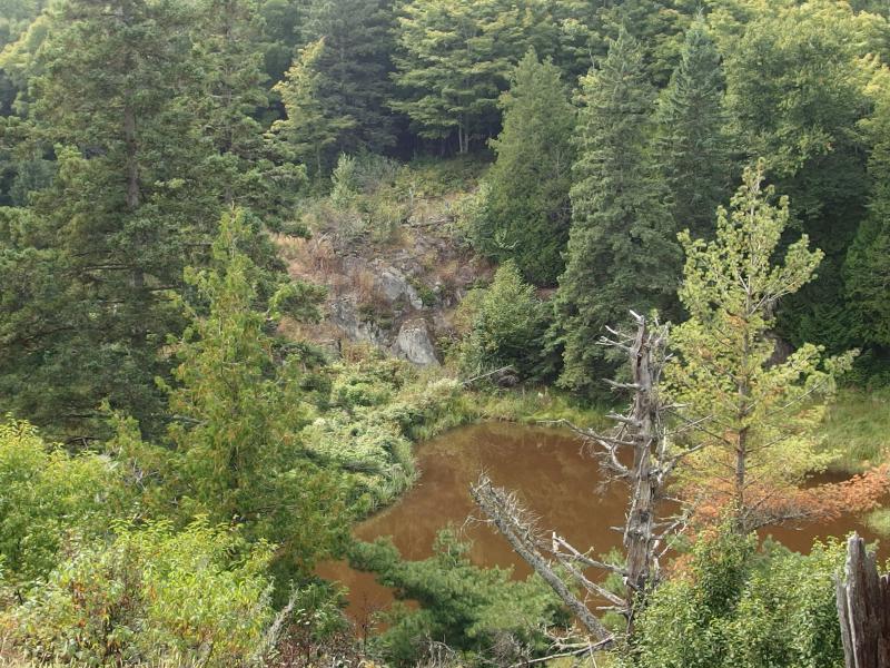
Yet another beaver dam waiting below
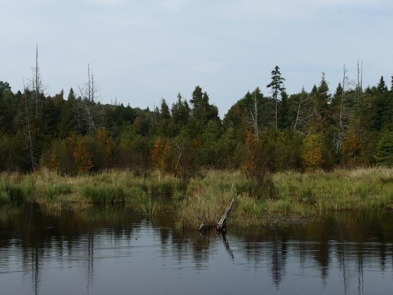
Ripples on the dark pond
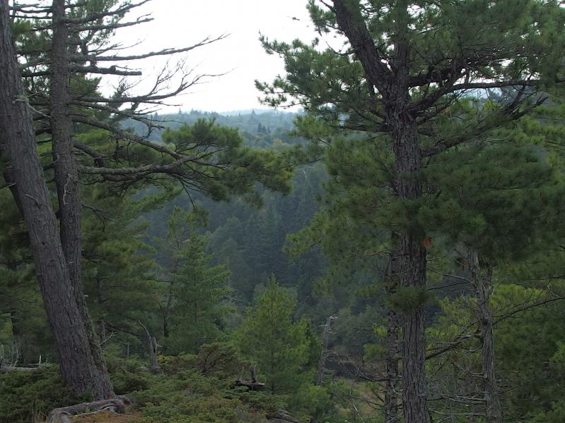
The last steep drop
On the far side of the tributary they held back to take a break. I wished them well again and pushed forward. This was the last big climb - only a few smaller ones before I would be at Huginnin Cove. I felt pretty confident at this point. The Minong Ridge Trail was all but done and the trail to the cove was mostly downhill and barely three miles long. I made it to the trail junction, turned, crossed a small creek, and was faced with another climb. Then I hit the wall.
Suddenly everything hurt. My feet hurt, my legs hurt, and the sunburn I had been ignoring for the last few hours flared up. Leaning forward I pushed up the climb, skipped out on the little spur to the Wendigo Mine, and kept a close eye out for a spot to rest. When a rock outcropping showed up on the left side I dropped my pack and flopped.
There was a few mouthfuls of water left that I had been saving. I finished that off. A bag of jerky and other snacks followed that down. I held off on eating more, with no good place to filter water until I reached camp close to an hour distance. The mother/daughter group had stopped at that last tributary to rest and get more water. Maybe I should have done the same.
After thirty minutes I forced myself to stand back up, and, teetering a bit with fatigue, pulled my pack on as well. Less than three miles left, mostly downhill. The woods were thick and mostly pine, a pleasant option to the birch forests I kept running into today, and every once in a while I ran into a giant white pine. This area was beautiful. If I could push back the exhaustion level a bit this short leg could be quite enjoyable.
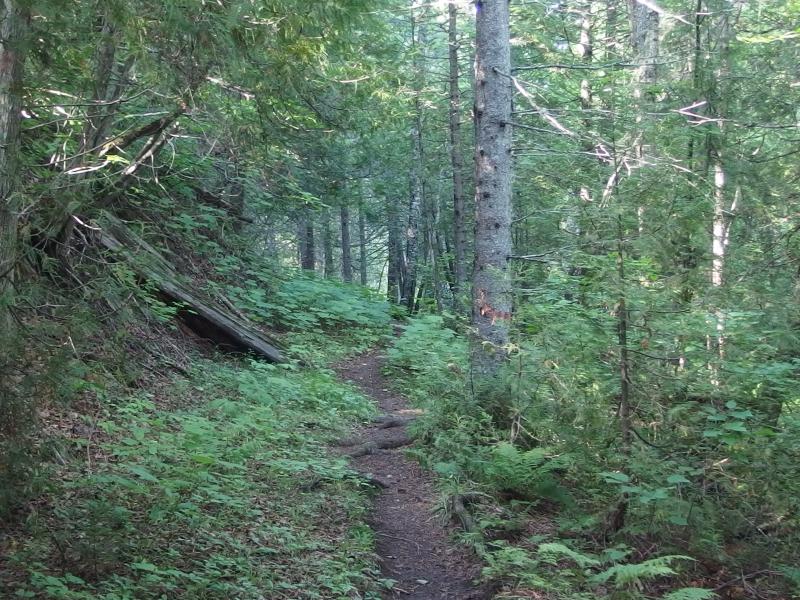
On the easy path to Huginnin Cove
When I neared a swamp a loud, blubbering exhale blew onto my trail. That sounded exactly like a horse blow-out after they drink water. Curious I crept forward and saw a large hump protruding from the swamp water. Moose, maybe twenty yards away. It was dipping its head underwater for forty seconds and then would re-emerge, blow-out its nostrils, chew a bit on the growth it had found, and then go back under. I waited for it to submerge and then crept close to the swamps edge for a few photos.
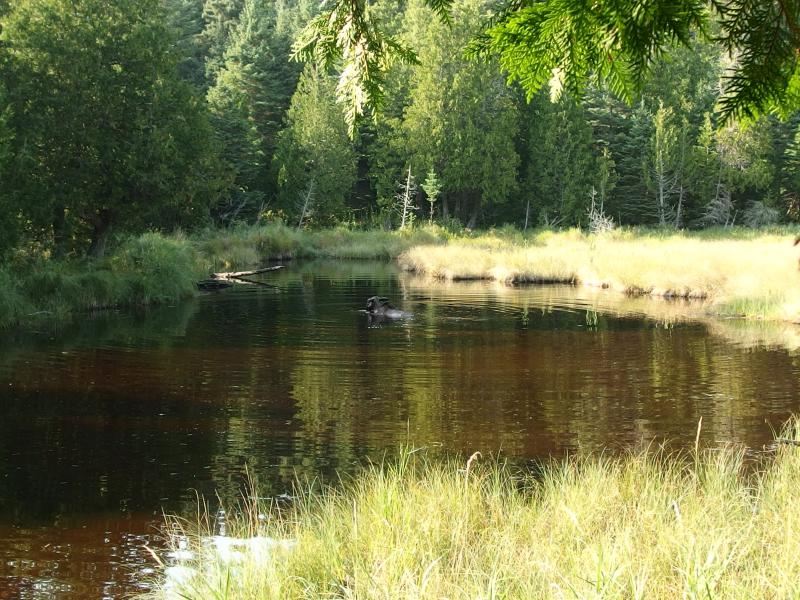
Grazing cow munching on water growth
There was no rack on this one so I guessed it was a cow. I stood and watched it for some time as it maneuvered around, hump slowly dropping in height and re-rising. This little swamp held back by an old beaver dam must be surprisingly deep if it hid most of the its body. My first visible moose - the earlier encounter with the bull was far too brief for anything more than a quick shock. When it dipped down for the sixth or seventh time I crept back on the trail and realized that my path would take me within a few feet of the beaver dam, far too close to the moose. I hollered a bit and clanged my poles together and scared off the animal so I could continue forward.
Beyond the swamp was a short climb and a very long, winding descent. A cool wind filtered through the trees and Lake Superior came in view. Finally. Well, almost. I still had at least a mile to walk along the lakeshore before Huginnin Cove. Leaden legs pulled me along one of the most fantastic sections of trail, though my tired body didn't appreciate all of the rocks and little climbs along the way.
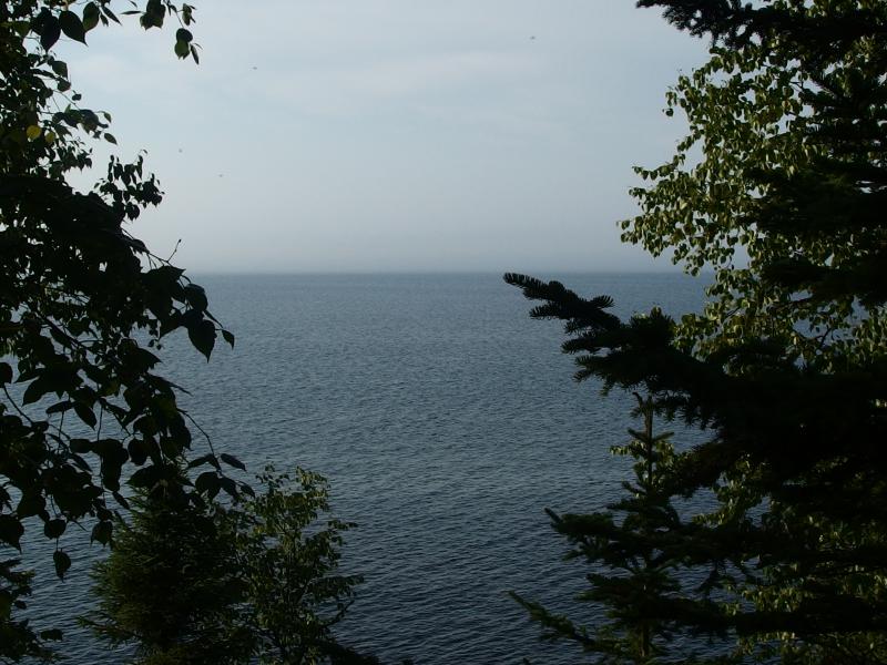
Finally next to Lake Superior
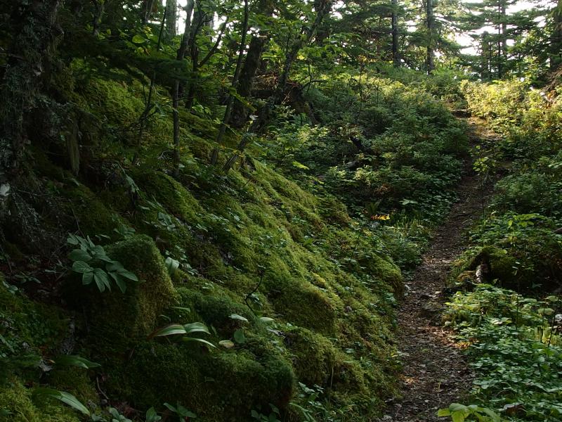
Thick moss on the trail next to the lake
This section really was fantastic. It bucked up and down a little and was always within a few feet of a rocky shoreline. Blankets of thick moss grew up around the trail and surrounded the base of ancient trees while old man's beard fluttered from low branches. There was even one spot where I had to twist under an overhanging rock that scraped the sides of my bag. I was just exhausted. I kept my glazed eyes fixed forward looking for any sign of a camp or hotel or flat piece of ground to sprawl out on.
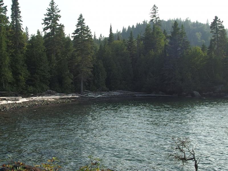
False cove before the campsite
A false cove opened up, and beyond that I bumped into a little marker for Site 1. This had to be the camp. I didn't continue forward to the camp map, wasn't interested what the other sites looked at, I just turned and trotted down the path. A small stream followed me down to the cove and then the trail turned right along a rocky beach. There was one spot where the brush reached out and forced me into ankle-deep Lake Superior water before I actually reached the campsite. The two tent pads seemed too bumpy and small to set up my tent but I didn't care. I dropped my pack and sat heavily on a piece of driftwood and stopped moving.
Twelve hours for twenty miles, twenty difficult miles under a sometimes very hot sun. And it was magnificent. There was so much variety along the way, so much to see, that I felt as visually drained as I did physically. Well, almost. I was hurting pretty bad. With a groan I stood up and started setting up camp, all the fun little tasks that needed to be done before sunset. I headed over to the water and scrubbed out the filter before pulling two liters of water, both of which I drank within minutes. The tent was setup, bag rolled out to loft a bit, and then I started laying out my clothes to dry.
My neck and hands were burnt pretty bad, and my shoulders ached from the pack, yet nothing compared to the feet. When I peeled off my wool socks several layers of skin came with them. The back of my heels were all torn up. Another day like this and I'd be dealing with blood.
I slowly walked into Lake Superior, barefoot and wearing the usual boxers, and only got up to my knees. The cove was surprisingly shallow so I sat down here and cooled off. There was no one else at this camp as far as I could tell. The other sites looked to be right on the water's edge, lining the shore from the other side of the creek, and there was no bright tents or movement there. It was only me at Huginnin Cove, sitting alone in the cold waters trying not to bump my feet on any rocks.
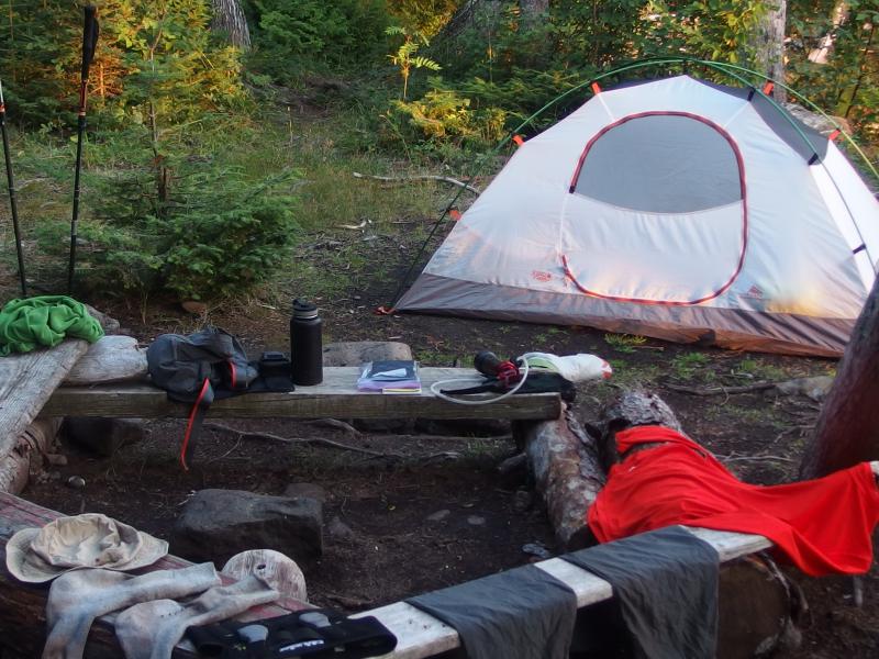
Letting everything air out at camp
Dinner was a brief affair, some curry Thai stuff that didn't taste that great four days on the trail. After that I spent some time drinking more water, airing out my gear from the day, writing trail notes, and then quickly packing away everything for tomorrow. Too soon the sun was beginning to drop. There is a low hill a short distance west of the camp that I had thought about climbing after hearing that the views from it were excellent but there was no way. I sat on the rocks near my campsite, waves lapping below me, and watched my first awesome sunset of the trip.
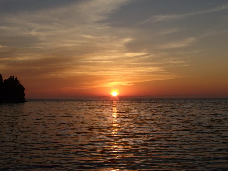
Sunset over the lake
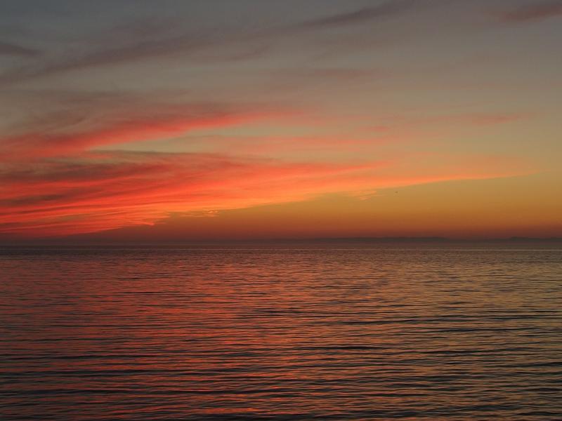
Fantastic colors left behind at Huginnin Cove
Sleep didn't find me easily that night. I had taken some Ibuprofen that helped with the muscle aches and did nothing for my sunburn or heels. Rolling and tossing to find a comfortable angle I finally gave up and pulled out my map. Today had been hard. Beautiful, sure, yet very hard. The Minong Ridge Trail, the toughest trail in Michigan, had indeed taken a hefty toll from me. I wasn't sure if I could keep going like this. This wasn't my last twenty mile day. Shoot, I wasn't even halfway through the trip and my body was pretty beaten up.
Looking at the map I wrote down a new route, one that followed the Greenstone directly back to Rock Harbor, and looked at mileages. Nothing over fifteen. I also looked to see what skipping Malone Bay would gain me. I'd probably camp at Hatchet Lake and would have one seventeen mile day. Or I could always completely bail and get a ride on the Voyageur. I didn't know how much it would cost or when exactly if it ran tomorrow but I had a five-day window to get back to the east side.
After writing down the alternate routes I paused and, with a bit of optimism, wrote down a list. If I was actually going to do this, if I was going to finish this week out, I needed some more supplies. Aloe would help with the sunburn, Neosporin with the feet, and some Deet would have been useful going through some of the swamps. Apparently a healthy number of mosquitoes were hanging on this late in the year, enough to give me a dozen bites over my arms and neck. With this last bit of thinking done I laid back and tried to drift to sleep, postponing any serious decision for the morrow.

-
Jacob Emerick
Sep 20, '15
*looks forward to day 4*The pain was easy to deal with while hiking... It was when I had to sit still at camp that it was tough. But yeah, it was beautiful. There was a day that I got to hike up into a cloud, something that may be more normal in an area with the height of Porkies, but with Isle Royale's low profile it was really bizarre. In a year or so you may get the same chance!
Add to this discussion-
Jacob Emerick
Sep 20, '15
The weather this day was crazy. Rainy/cloudy/sunny/scorching all in one day, switching sometimes within minutes. You're right, you have to love the area, but maybe not the weather :)Both times I've seen a tree topple it was only the rotten stump left. I'm not sure if the roots pull or the stump breaks, to be honest. The soil is very thin, though, very similar to the Keweenaw growth and behavior, so it's no surprise how many trees were uprooted along the trail. A good stiff wind on the wrong day wrecks havoc on the island.Yeah, I've seen it called the toughest trail on several occasion, even though it was pretty easy to follow. The terrain, sure, with all the bucking up and down and the swamp crossings. You and I have bushwhacked through much worse. So it may be the toughest trail... but it's still a maintained trail :)It wasn't quite on purpose, more the way the route ended up, but the next two days were fairly easy. So I definitely got some R&R. Afterwards, though.... The last three days were just insane. Can't wait to share them :)
Add to this discussion-
Jacob Emerick
Oct 9, '15
Thanks Navi! The sunset from Huginnin Cove was definitely a great way to end an otherwise tough and painful day.
Add to this discussion-
Jacob P Emerick
Feb 2, '17
Thanks Paul! This was, by far, the most adventurous adventure I've had the pleasure of adventuring on, so I do hope that some of it leeks off the page. You are planning on heading out there this summer? That's awesome!So, between Lake Desor and Windigo... It depends on which trail you're on :)Greenstone Island Mine is (about) halfway. It gets a bad rap, and the water is not very dependable, but the location is convenient and there are mining ruins to check out nearby. Plus it's nice and wooded.Minong This one is tricky. I opted for the Huginnin Cove break, which is not halfway in between and only adds miles. I can't overstate how beautiful it is, though. If you were going for something in between, the one that stands out is near here: https://blog.jacobemerick.com/photo/isle-royale-day-four/another-beaver-dam-below-size-standard.jpg. I believe it's near this point: N 47.94377, W 89.11860.Best of luck, Paul!
-
Paul Bates
Feb 3, '17
That you Jacob. Minong for sure. Point taken on the "adventure factor" and ruggedness of the trail. We've been planning the trip for this summer for a while, have started warm up hikes and conditioning. I have back-country, cross country and man-way trail experience from the Smokey Mtns and Red River Gorge in Kentucky. No doubt I'll learn a lot and be challenged to, which is the point. I want to come away from this trip with the same sense of adventure and being challenged like you.We've been talking since I first posted here, and targeting Huginnin based on your write up. We'll plan to travel from N Lake Desor at first light. I plugged the coordinates you've provided into Gaia. Looks like a good spot. If we get tired out, bad weather, etc, by the coordinates, we'll stay there.. otherwise on to Huginnin. Thanks again for response and write up, greatly appreciated.Paul
-
Jacob P Emerick
Feb 7, '17
Minong sounds awesome :) Very glad to hear you're aiming for Huginnin Cove. In my opinion, the mileage between North Lake Desor and Huginnin seems scary but is totally doable. Views are outstanding and while there is a lot of ridges to climb up/down, none are that tall. Plus, once you reach the trail junction out to the cove it's beautiful and mostly downhill. Hope everything works out!
Add to this discussion-
Jacob P Emerick
Jun 21, '18
Hi Nicholle, no way! This is too awesome. Your aunt (sorry!) and you were definitely a lifesaver w/ those band-aids. And it was great to bump into y'all on the Minong, that was a very quiet and lonely day up there. As for the Porkies / Sylvania Wilderness... jealous of you two, sounds like you're having some solid adventures together. Happy hiking!
Add to this discussion