Hiking Mt Benison
Rising up like a large, gnarly growth, Mt Benison stretches from Mountain Lake to Little Huron River and from Howe to Cliff Lake. Similar to Ives Hill far to the east and Superior Mountain just to the west, Mt Benison is not a simple peak with a distinct shape or defined outcroppings but a whole mess of rock, forest, heights, and dips that barely resembles a mountain on topographic maps. I had previously visited the southern flank when I tackled Cliff Lake in the winter but today I wanted more. Today was the day I would climb almost sixteen hundred feet and reach the highest points on Mt Benison.
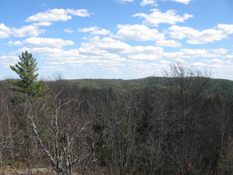
Mt Benison rising to the east
However, one does not simply climb this mountain. There is no easy access point, with the Huron Mountain Club property wrapping around three of its corners. There is an odd mix of private and public property on the southwest corner that allow three possible routes. Heading up from the Northwestern Road along the two-track for the Cliff Lake Hunting Club and Forty Foot Falls, one could cross Cliff Lake and go straight up the steep south slope. There is another (gated) two-track that leads east from Erick's Road that would lead to a similar southern approach, although this one is more of a driveway than an actual road. I chose the last, and possibly worst, route - over Superior Mountain.
Shouldering my camping gear I left my car parked on one of the several logging roads winding around Little Huron River. First following an overgrown route, then cutting over rounded pillows and through damp creek-hewn gorges, I painstakingly hauled my way up to my planned camping spot a few hundred feet above the river and shoreline below. While the hike was exhausting, especially right before the long trek to and over Mt Benison, the camping site was perfect. The Huron Islands were clearly visible and miles of trees and hills stretched away in all directions.
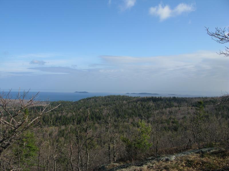
First view of the Huron Islands to the north
With my gear secured I headed east. A towering south-facing bluff was my first obstacle, so I quickly veered to the right to avoid this additional climb and ended up inside a humbling saddle between multiple large outcroppings. It was quiet and cool in this valley and I took my time stepping over the small pools and around the downed trees. Eventually I made my way to the far side of Superior Mountain and started to trot down the hill, taking advantage of all the elevation I had gained. The eastern side has scattered breaks in the trees but no good views (that I've found yet), so I didn't waste much time today in reaching the low point here, the tiny Little Huron River.
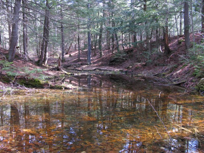
Small pool on the upper Little Huron River
There are a few roads that follow the river up here that were once used for logging. I know that the Huron Mountain Club recently purchased a stretch of land here so I didn't spend much time on these roads and quickly cut across the river and roads to the western flank of Mt Benison. As soon as I entered these woods everything felt… different. This area is actually part of nature conservancy, so it hasn't been logged or seen much traffic in a very long time. There was a tangible change walking through the woods, too. The ground was softer, trees bigger, and moss more pervasive. I took my time climbing here, not only because I was still winded from the morning's exertions but also because I feared the old forest would find a rushed visit disrespectful.
Briefly stopping at a west-facing outcropping for some views back at my route, I slowly circled to the south to catch some familiar southern outcroppings. These views are somewhat limited to the south and don't even include Cliff Lake (there's a few lower hills below that effectively block it), but the height is impressive and you can catch a few sideways glances west to Tick Mountain. The day was cool and sun warm, so when I reached the large exposed rock faces I took some time to rest and enjoy the quiet solitude that even Marquette's impressive mountains can't match.
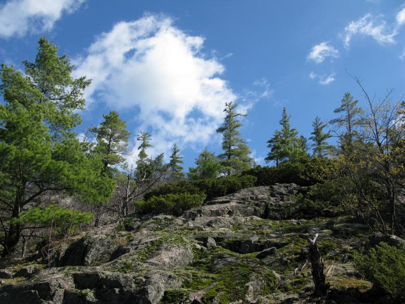
Steep rocky climb to a southern outcropping
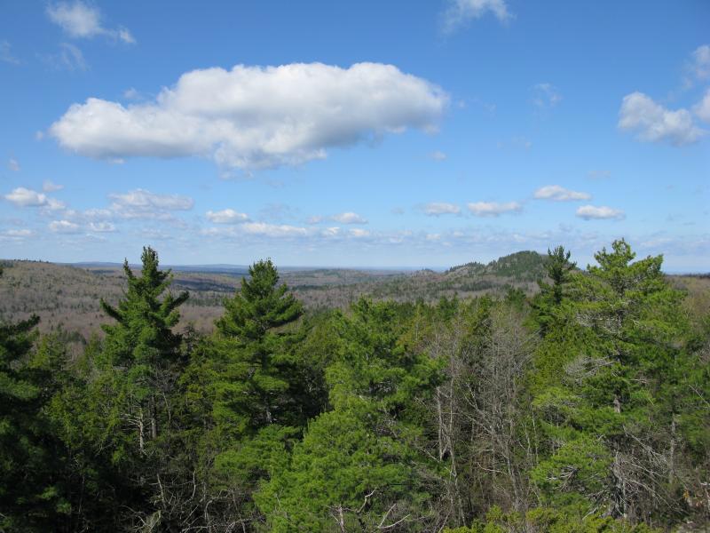
Tick Mountain to the west
Tempting as it was to continue east here, with possible views of Cliff Lake and Mink Run, it was time to tackle the peak. Twisting northeast I headed to one of the two high points of the mountain, leaving the south face behind. In order to try to break up the climb a bit I headed straight for a steep cliff, gaining close to a hundred feet in one fell swoop, before heading east on a slow, broken climb to the top. The trees were smaller than I had imagined up here, as remote as it was, and almost exclusively deciduous. I couldn't make out any views through the trees and it was easy to forget that I had well over fifteen hundred feet in elevation. Once I bumped into a suspicious rocky saddle in between two small rises I checked my GPS, and sure enough, I had reached the top of Mt Benison.
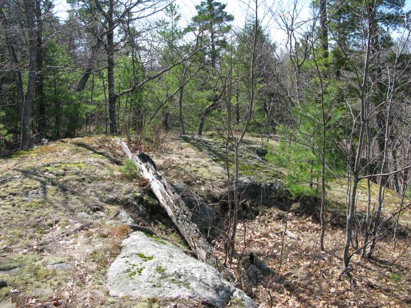
Odd rocky lump nestled between the two highpoints
There was no benchmark, sweeping vista, or flag to greet me up here... just quiet woods and crackly leaves underfoot. Without a reason to linger I continued first east, than north in a rambling path. I had a few options for returning to my campsite but didn't feel like deciding right away so I headed where my feet led me. For a while I just followed the slope downhill, then walked along a massive rock wall that was too intimidating to climb. After a long loopy mile I ventured upon something I did not expect - a valley cluttered with recent logging. Either I had reached the far north side of the conservancy (which I had assumed was Huron Mountain Club land) or they did log the mountain. Regardless, my peaceful hike through the untouched woods was over.
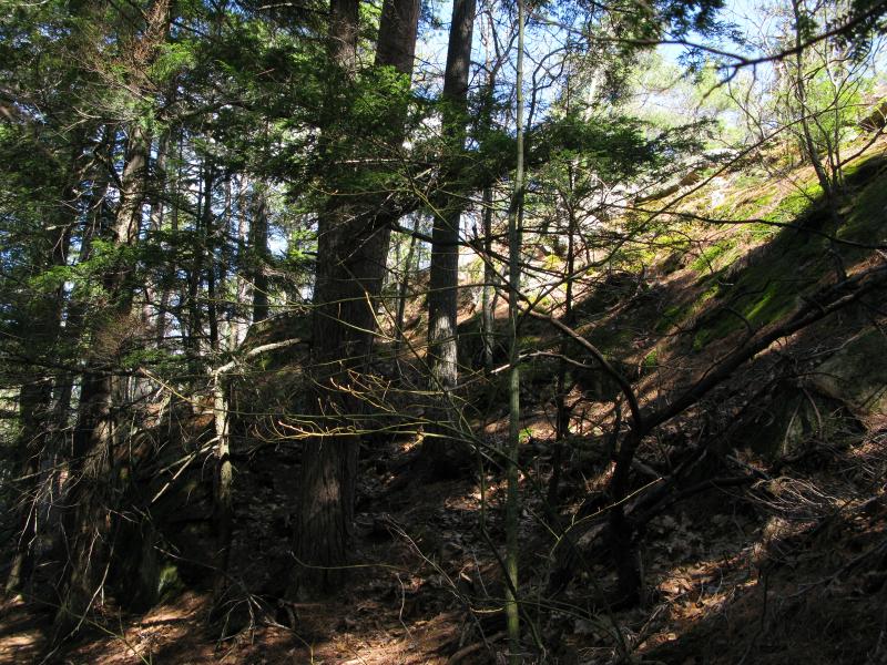
Steep sloped rocky wall
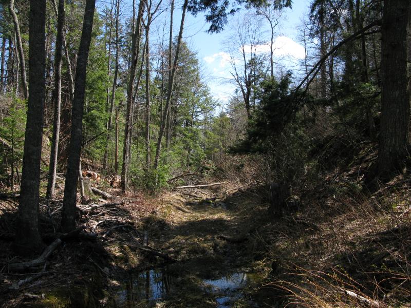
Messy logging around a track on northern Benison
By now I was far enough north for a possible view of Mountain Lake down Mink Run. I had been thinking of taking Mink Run and/or Mount Ida around the far side of Benison on the way back, but my legs were far too tired to add on that many miles. Instead I pushed myself up a small outcropping and was rewarded by a glimpse of blue far to the south. While it wasn't a great view of the elusive private lake the glimpse was enough to warrant the winding route downhill, and I happily turned west along one of the logging tracks.
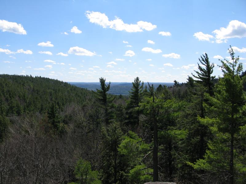
Mountain Lake glimpse, down Mink Run
One overgrown logging road led to a slightly better one, and before I knew it I was following a maintained gravel road along the northwest flank of Mt Benison. I passed a few cabins and caught an occasional glimpse of the towering northern flank to the left, enjoying the easy route back. When the road started taking a stronger trend south I cut east on an old track that lead back up Superior Mountain. The climb back up was not easy... after all, I had easily hiked eight miles up and down multiple mountains already. I got confused once I cut off the track, partially due to tiredness, and found myself on one of the taller ridges atop of Superior Mountain. No matter what direction I took it would be a solid climb down and back up to my camping gear and I plopped down on the rock, tired and frustrated.
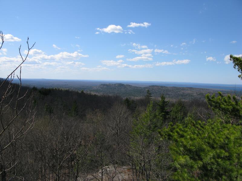
Western view to Bald Mountain and Lake Superior
The view wasn't bad from this vantage. I wasn't at the true peak of Superior, with its benchmarks and glimpses of Huron Mountain in the far west, but this ridge also offered commanding views to the south and west. After a shorter rest than I needed I continued on, quickly pushing my way through the brush down the ridge and, finally, back up the outcropping to my gear where I rested for the better part of an hour, drinking water and munching on granola while I thought about where to set up camp for the night.
This was not exactly how I planned on finally visiting the farther reaches of Mt Benison. There are plenty of possible outcroppings on the southeast face that could offer excellent vantages of Cliff Lake and Mountain Lake as well as the pristine Mink Run that I completely skipped over. Also, while I highly suspect that sections are on Huron Mountain Club land, Mount Ida and Turner Point are a short hop over from Benison and could offer unparalleled views of the area eastwards. If I had attempted coming up from Cliff Lake these would have been much more feasible add-ons to the hike, but going over Superior Mountain first sapped a lot out of me. At least I had reached the summit of Benison and know the area that much better... And my future visits will be that much more focused.
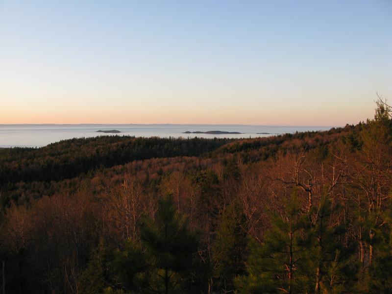
Huron Islands in the sunsets warm glow


Comments (0)