Highpoint of Houghton County
Houghton County is home to plenty of interesting high spots. St Louis Bluff up by Laurium, Silver Mountain, the peaks of Haystack and Kallio, Beacon Hill, even Whealkate Bluff outside South Range all sit within the county boundaries and offer spectacular views. However, none of these can claim the designation of the highest point in Houghton County. That title is reserved to a small cluster of forested hills south of Trout Creek.

Dim morning light over the Bluff
Another winter storm had just slammed into the Upper Peninsula a few days ago, canceling Michigan Tech for the afternoon and pulling the plows off the road overnight. Now, though, felt like just another typical winter morning. The sun attempted to break through distant clouds, huge swaths of snow piled on tree branches, and a bitter wind filtered slowly through barren forest. I plodded down County Line Road on new snowshoes, the ground crackling loudly underfoot, and gazed hungrily at the beautiful scene surrounding me.
This road had been plowed for a mile-and-a-half from M-28, huge mounds pushed up at the end near an open field and cabin. Thanks to the plows I had less than a mile to walk on the road before I had to worry about cutting into the woods. Snowmobile tracks packed down my route and snowshoes kept me from breaking through, allowing me to look around without worrying too much about the route. And there was plenty to gaze at. Ahead of me I could make out the large rise of my destination and around me tall pines and occasional open spots distracted me.

Long, straight road ahead
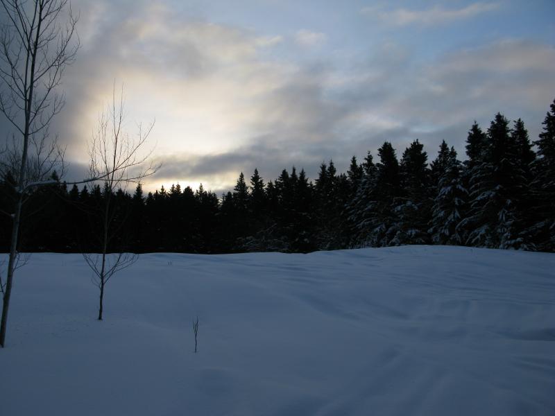
Bright light over the dark trees
The one catch about this adventure is that its hard to say with certainty what the exact highest point is. Between the small cluster of hills here being so close in height and errors in measurement the 'true' highpoint could be any one of six or seven spots. I had picked the most prominent one to check out first and, depending on how my snowshoes performed in the deep forest snow, was considering swinging over to visit one or two other potential spots.
Eventually the arrow-straight road began to wobble eastwards, avoiding the tall hill ahead, and I began to eye up the woods for a good spot to cut off. The snow was deep - between three and four feet - and I hoped that I'd be able to just glide on top like a graceful water bug. I picked a spot, took a quick glance up at the hill ahead, and stepped off the trail. And quickly sunk down to my knees.
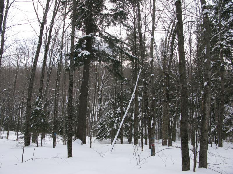
Distant outline of the climb ahead
Well, it could be worse. Leaning forward I began to plow through the snow, most of my steps sinking down about two feet. It was easy to get into a rhythm, testing each step before shifting weight, and it quickly became apparently just how much easier this trip was going to be compared to previous winter treks. Sure, these shoes were meant for groomed trails, but they did help me through the virgin snow.
Several rises poked through the woods ahead. The first was steep, rock outcroppings with stained ice flowing from them, and I was forced to my hands and knees to climb up a narrow break in the wall. The second was easier, though clusters of downed trees forced me to zig zag around to gain the top. By the time I reached the last slow rise, only a dozen feet or so, I was getting pretty tired. I had traveled maybe a few hundred yards from the trail but had climbed up several hundred feet through feet of powder, a deep trench of a path snaking behind me formed from careful testing and stamping.

Rock and ice flowing off the hill
When I reached the top of the hill I looked around. It was easy to tell that I was on the top - there was no more upward slopes nearby. To the east rose a few hills, an area called the Bluff, some hills that I hope to climb one day soon. North was the most interesting direction. A straight line was cut through the trees, creating an artificial view up towards County Line Road eerily similar to the view on top of Mount Arvon.
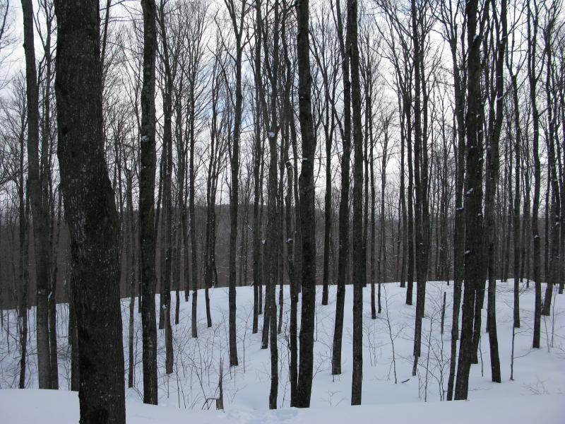
Outline of the Bluff off to the east
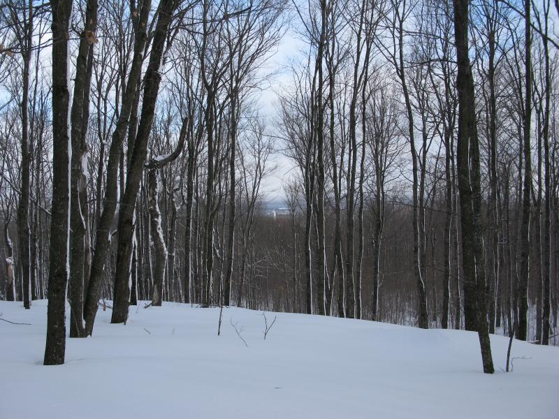
View down towards County Line Road and beyond
Since this was only one of several possible high points in Houghton County (and definitely not a popular hiking destination) I had to guess that the forest was not cut this way for the view. No, they probably just continued the straight line of the road below to continue the county line between Houghton and Ontonagon Country. It wasn't continuous, though, just a strip maybe a hundred feet long, which was a bit odd. It did give me an unexpectedly good view of the land below, a nice surprise on the otherwise crowded hill.
I didn't really consider a side trip for too long. This climb through deep snow had taken me close to an hour and I had other places to visit. I turned and dutifully followed my path back down, trotting downhill over the narrow and packed path. In ten minutes I was back to the snowmobile tracks and the long walk back to my car.
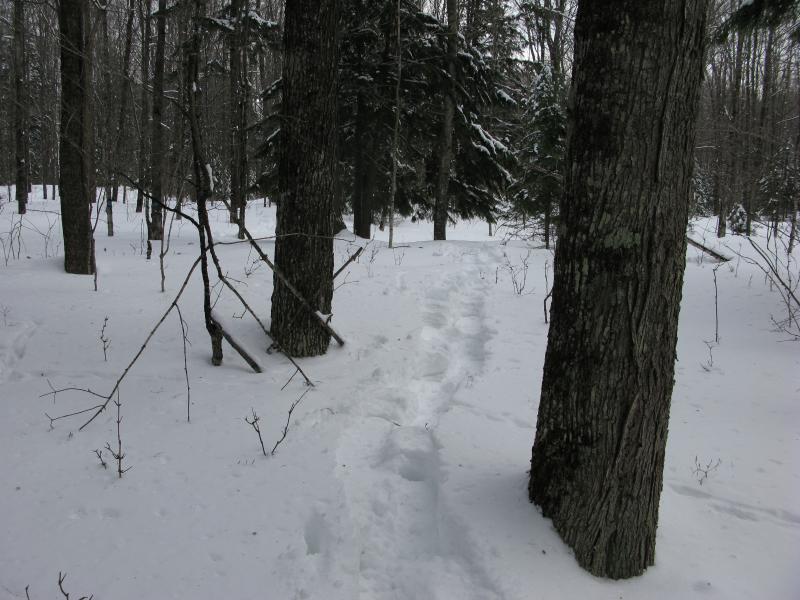
Narrow trail back to the snowmobile tracks

Snowy woods
The other high points in this area are mostly to the south on top of a gentle rise, reminiscent of Curwood's mediocre peak. While the hill I climbed didn't have any grand bald outcroppings with sweeping views (well, few county high points in the Upper Peninsula do) this other southern rise would be even less impressive. I'm quite satisfied with calling this hill the highest point in Houghton County, give or take a few feet.
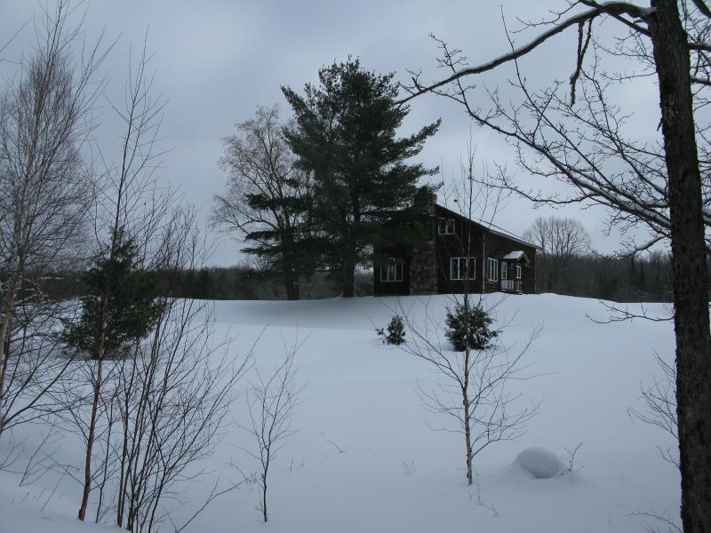
A lonely cabin off of County Line Road


-
Jacob Emerick
Mar 1, '14
Yeah, y'all finally convinced me to pony up and pick out a pair! They're just typical shoes, not traditional or anything, but yeah, I have a few awesome adventures planned to use them on over the next few months :P
Add to this discussion