Exploring North Kearsarge
Dry August heat rushed at me as I stepped out of the car. It was supposed to be cooler, with a slight north wind off the still-chilled Lake Superior waters, but the temperature near Wolverine didn't want to cooperate. I organized my gear and gazed up at the tall poor rock pile, the first of many, and decided to take an extra swig of water before heading out. A three mile hike isn't enough to justify hauling water so I usually just 'stock up' before heading out.
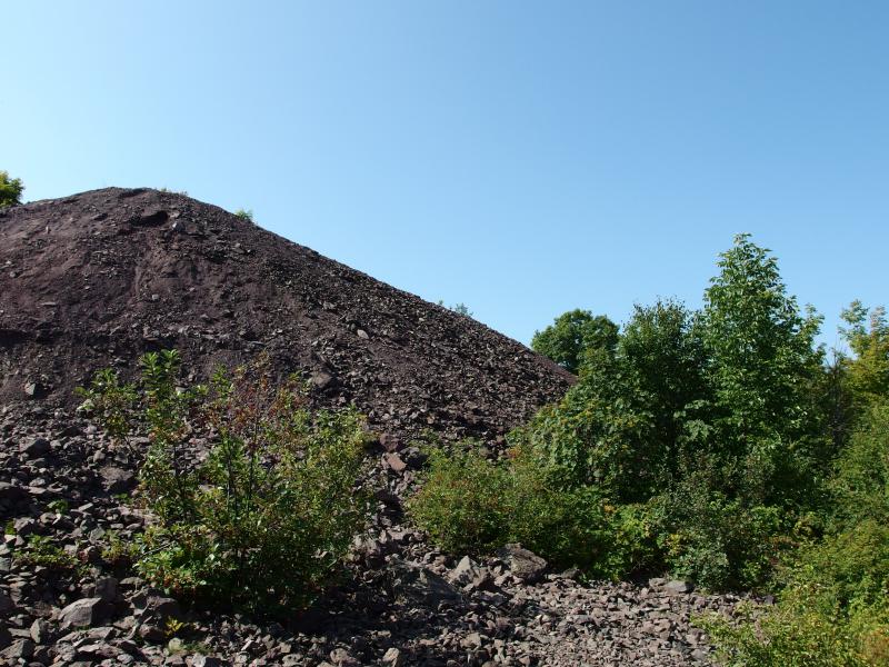
First of many rock piles in this area
As I looked up at the pile a truck bounced down the trail towards me. I wasn't too surprised. I was near the old North Kearsarge Mine, just off of Mayflower Road, and this track was the main access point to plenty of ruins and rock piles. A friendly man stepped out for a quick chat. He was armed with a metal detector and was planning on going over the freshly disturbed piles, hunting for copper or metal or something I guess. When I told him my plans to look for the ruins of Shaft #1 and #2 he seemed to scoff at me, telling me I should go to Cliff or Central or somewhere more developed. I assured him that I was perfectly happy finding minor foundation ruins and started down the trail.
There was a collapsed mine shaft some few hundred yards past the first pile, something that sounded interesting, and something I didn't really want to risk safety and legalities creeping close to. Collapsed shafts are just straight up scary. I headed north instead, following the dirt track until I came upon a big loop. There was a hint of a view out towards Copper City here. I paused briefly here, weighing my options, before turning and heading along a track to the left.
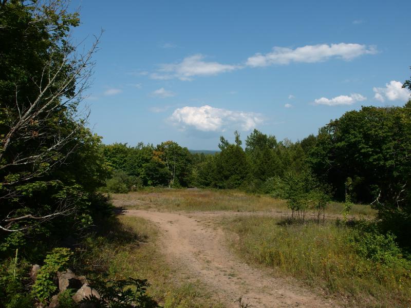
Small looped clearing at the end of the track
Shafts #1 and #2 of North Kearsarge are located just east of Wolverine, maybe a mile from the traffic of 41. This mine was one of several that worked a rich lode in the area. There is a lot of ruins in this area, old railroad grades and hoists and boiler houses. Today I'd consider myself lucky if I got a halfway decent view from the top of some of the taller poor rock piles and found a few these foundations. Oh, and a waterfall. I was hoping to find a waterfall on Scales Creek.
My small track wound around before meeting up with a wide, well-traveled track that would take me directly to Shaft #2. I trotted quickly on the sandy route hoping to avoid ATVs and ambitious trucks who could easily follow this in from the nearby town. No vehicles came to interrupt me, though, and soon I was staring at the first old brick foundation. I believe that this would be the Hoist House, according to the work of Mike Forgrave. It was interesting to see the old rock-and-mortar wall sitting next to a more modern cement fixture, probably a later addition to the building, as this mine lasted through several decades (if I recall correctly).
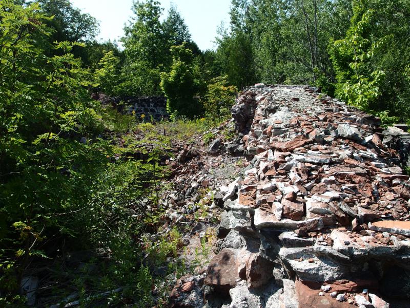
Old rock walls
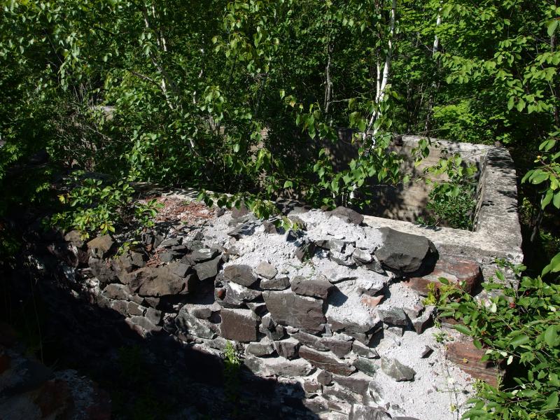
Mixture of rock walls and cement pourings
There are a few more ruins next to this one, including the boiler and compressor building, yet something was tugging at my peripheral. There was something massive nearby, something that required a good climb. I snuck away from the old rock wall and approached the rock pile. It looked gigantic.
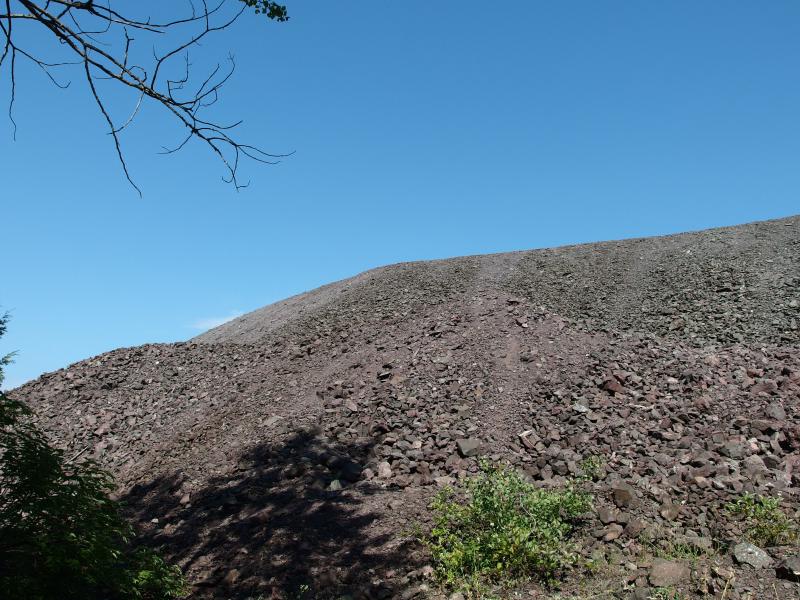
An enormous pile of poor rock begging to be scaled
With little hesitation I hurled myself at the slippery rocks, grasping and heaving up the slope. Some spots gave and let me slide back down a few feet while others were cement-hardened by the elements. It was tough, much tougher than climbing a solid rock bluff, and when I finally reached the top I was out of breath. The view was worth it, though.
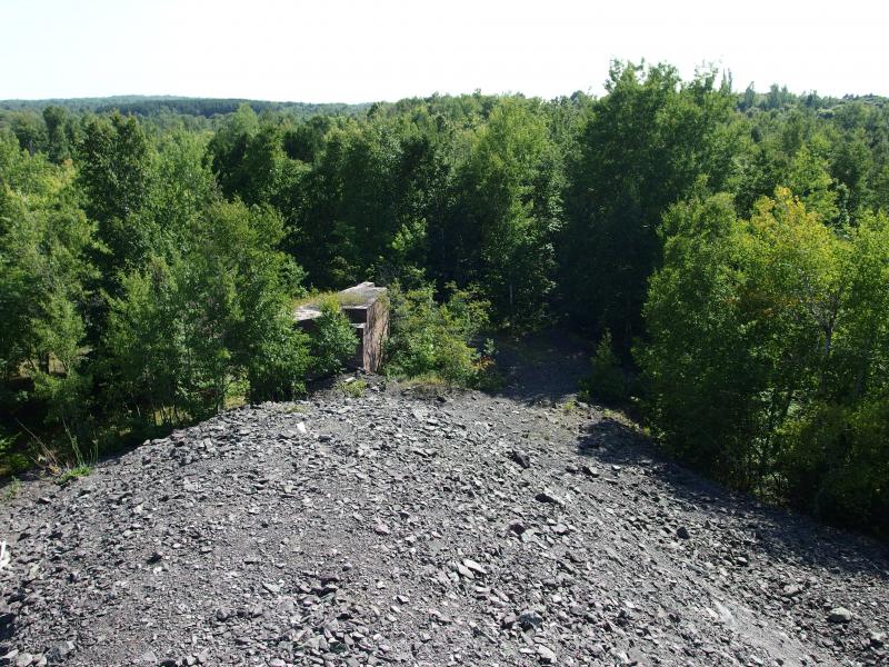
Down at the old rock house walls
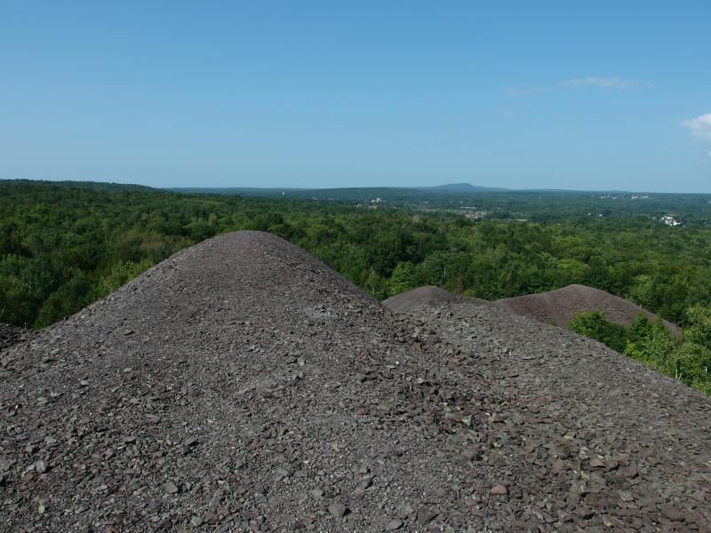
Mounds of poor rock and view beyond
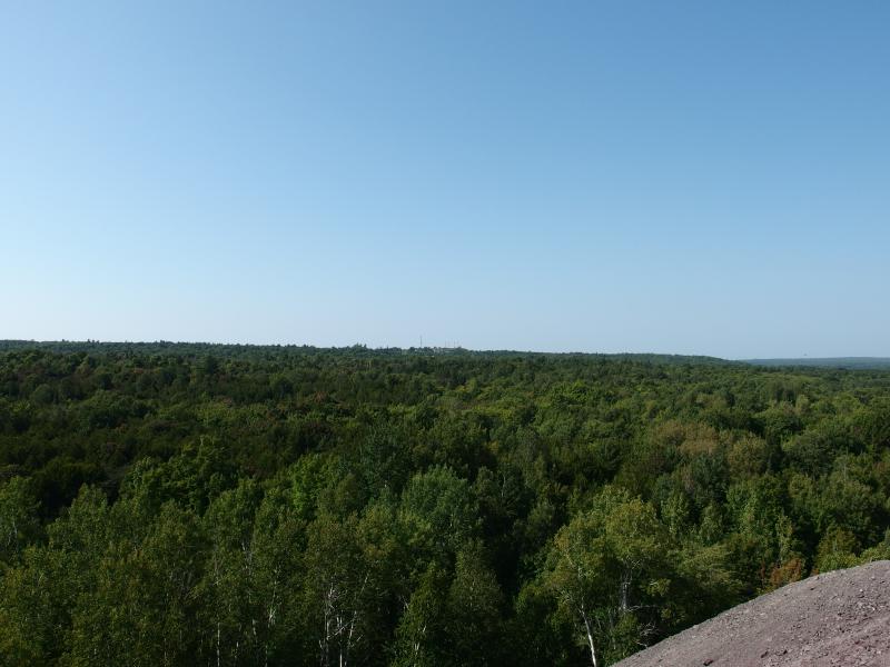
Bumbletown hill towers
Far below me was the old rock house walls, forgotten in my rush up the hill. I think the shaft is somewhere down there, though I'm sure it is capped and overgrown and hard to spot. North was the real view. The Cliffs were visible, a monolithic ridgeline that is easily spotted throughout most of the Keweenaw, as well as the houses and buildings of Copper City. Off to the west were the Bumbletown Hill towers, a collection of radio antennas above Allouez.
Trying to channel Mike's knowledge I gazed back over towards Copper City, picturing what this land must have looked like. There was a ton of activity here back in 19th century, multiple mines and processing plants and railways criss-crossing around the Slaughterhouse Creek valley. The sky would have been speckled by chimneys and clouds of smoke, land stripped bare of trees. I preferred today's version, with green overgrowth and only a few buildings poking out here and there.
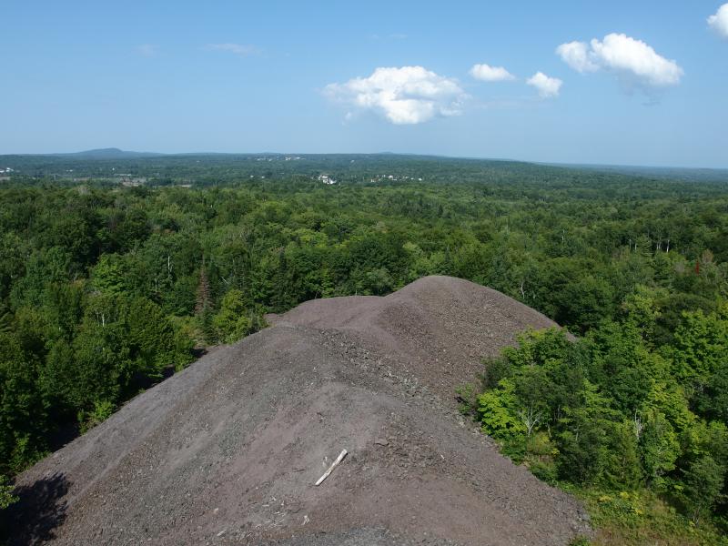
Snaking lower piles of rock
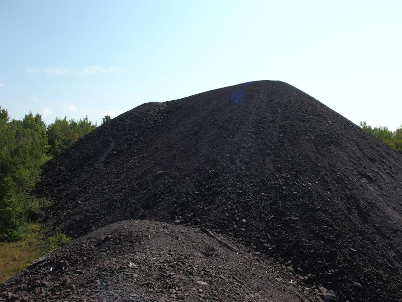
Back up at the taller mound
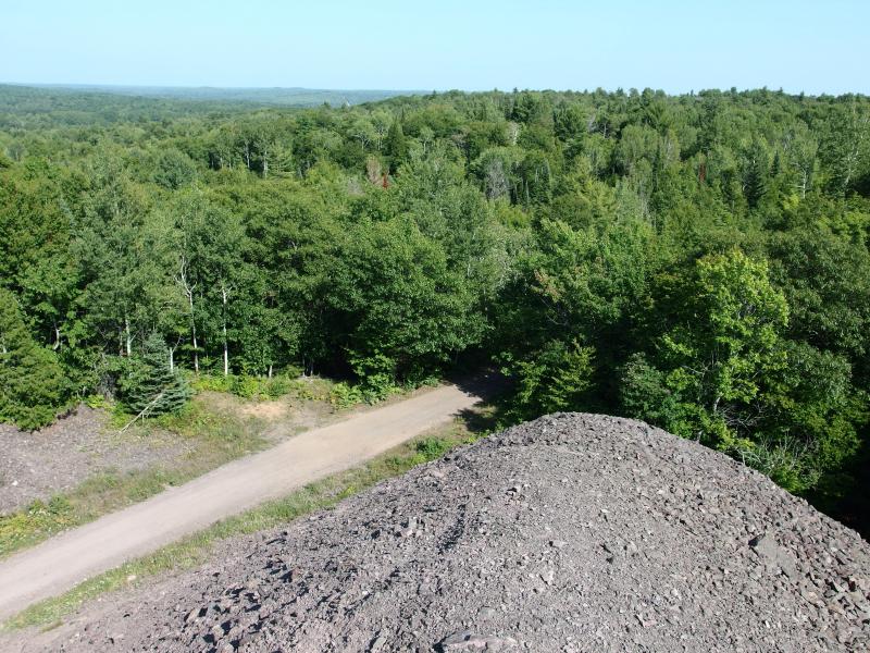
Straight grade far below
I made my way down the piles, dropping suddenly at one point, before staring down at a long, straight road. This looked far too straight to be a road. This was probably one of the old lines, a railroad grade that connected distant places with coal and steel. Sliding down the last pile I headed north again. I had found the ruins and the piles. It was time to start heading over to the waterfall.
There was a lot of ground to cover first, though. As I walked down the downhill track more ruins began to peek through the undergrowth. Must be near Shaft #3. Pausing briefly I trod into the undergrowth, gazing at the dark, moldy foundation of what must have been the hoist. This one seemed older, more rock than mortar, though I know little about the history of these shafts.
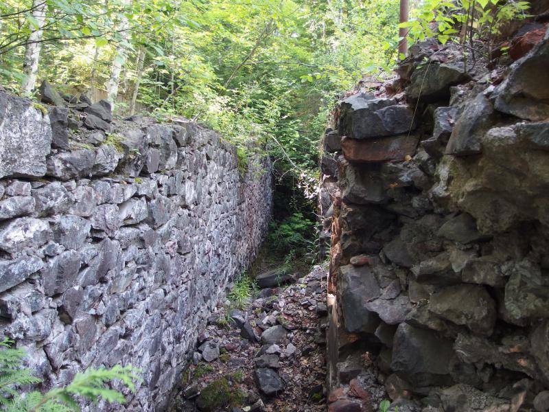
Rock walls at Shaft 3
After the ruins there was a track that cut east. Finally. Scales Creek was quite a distance to the east yet, maybe a full mile, and the sooner I could cut over the better. The track turned out to be a lie, though. A wide open space, perhaps the site of a now-gone pile of poor rock, pushed the forest back. Several large remains of bonfires were here, huge things whose diameters were as big as a small shed. There was no way out, no way for me to continue east. So I dropped down into the woods instead.
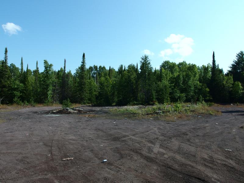
A wide clearing with plenty of ATV tracks
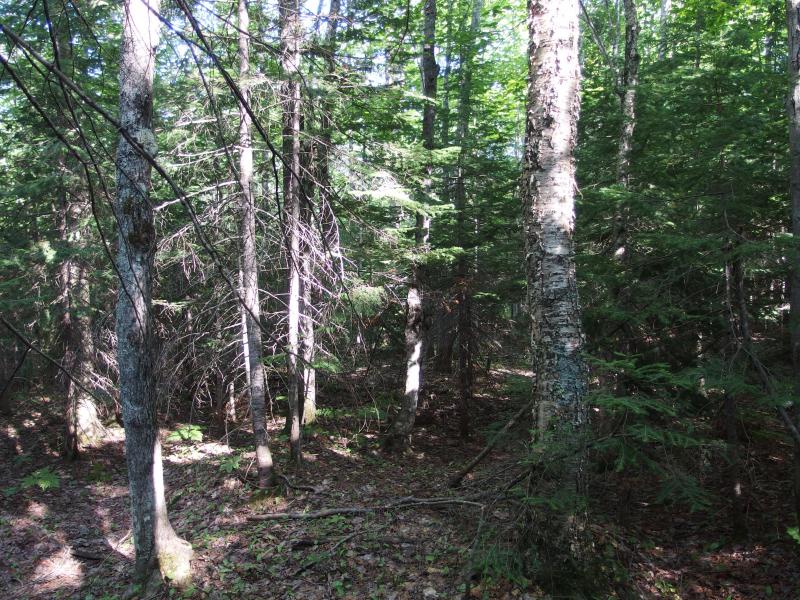
Thick woods below the trails
Outside of the warm temperatures this hike had been rather pleasant. A few bugs had half-heartedly annoyed me during short stretches, a large departure from my hikes in July when they swarmed me in legions. Even now in the woods only a few mosquitoes came out to try a bite through sweaty skin. I didn't mind trudging through the thick green woods along the seasonal creek at all.
I did get a little worried about the elevation I was losing. It's close to 400' between the bottom of Slaughterhouse Creek's valley and I had plenty of climbing yet to do this evening. I didn't want to burn through my legs on my first hike. The railroad grade showed up just in time to stop my worries. A quick scramble took me to the top of the flat path. Once I reached it I paused, listening for the sounds of Queen Anne's Falls on the opposite side of the valley, and heard nothing. Woods must be too thick.
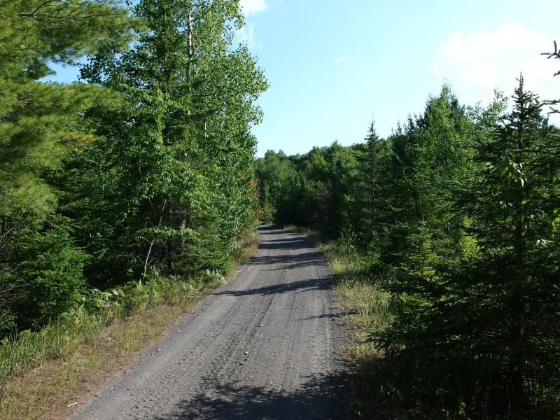
Another railroad grade
The flat gravel passed quickly under my boots, ripe thimbleberries fueling me along the easy walk. There were a few small creeks that flowed underneath the grade, draining sections of the hill down to Slaughterhouse and Trap Rock River beyond, but not a single trickling sound filtered up. They must be parched today. The grade seemed to be mostly raised up by poor rock, few cuts needed to keep it level, leaving me with plenty of sun and cool breeze along the walk.
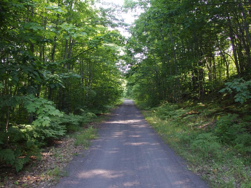
Straight tracks
Too soon it was time to re-enter the close woods. I was at Scales Creek, where I suspected a waterfall would be waiting for me. Most of the steep grade was located upstream so I headed down to the right, going down the overgrown slope until I reached a wide, quiet creek. It was small but not obscenely so - if there was a waterfall up here it may be flowing.
I kept to the creek bed, skipping over the large rocks and avoiding potentially slick areas. The water trickled and bubbled around the rocks, which probably turned the spring melt into a wild froth earlier in the year, and today seemed meek and mild. Along the way I saw some odd white fungus, something that looked vaguely familiar. Couldn't place the name. There was no waterfall.
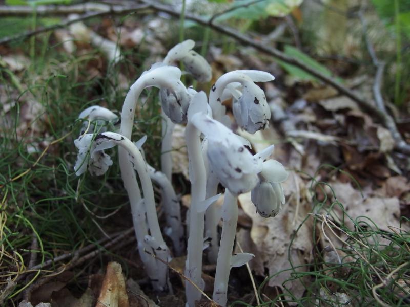
White, weeping fungus
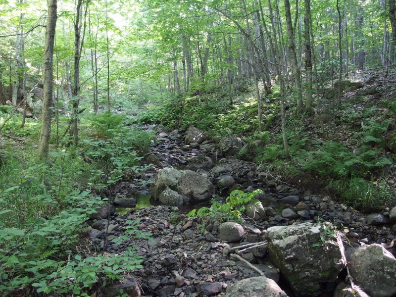
Rocky little Scales Creek
There was no waterfall. The creek leveled out and entered a swampy section, my rocks disappearing and being replaced by grass and mud. From here Scales Creek would keep a lazy grade past a private residence and under Mayflower Road. It was time to give up. If there was a waterfall it may be on the downstream side, though I doubted the chance for that. Defeated I headed up the northern bank and began the slow bushwhack through meadows and woods back to my car.
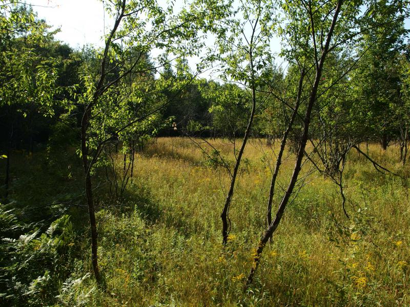
Open grassy clearing above the creek
The way back was long and tedious with the hot sun baking at me. When I got the chance I cut back to the road and walked the shoulder back, waving away two friendly drivers who slowed to check on me as I trudged along. My car was only a mile up the road and I wasn't in rough shape, just bummed about the missing waterfall. Scales Creek drops a good 200' over a mile and it was all just rapids. At least I got to find some mine ruins and good views.
Note: for more information about the North Kearsarge Mine I highly recommend checking out Mike Forgrave's Copper Country Explorer website. He's done a fantastic job at documenting the ruins and history of not just this area but dozens of other sites in the Keweenaw (and beyond). North Kearsage Mine.


-
Jacob Emerick
Aug 22, '14
Is this the video you're talking about? http://youtu.be/h2VK2G5r-Fc It's pretty awesome, hard to believe the scale of the cave-in. I thought they were usually just manhole-sized things.
-
dcclark
Aug 22, '14
Yep, that's it. He also has one along the cliffs. That's certainly a big cave-in, but not the largest I've seen. (That was at Copper Falls.)
-
Jacob Emerick
Aug 22, '14
You saw the cave-in at Copper Falls, the one by the (very tiny) upper drop? Dang. I saw some of the aftermath, the wide clearing recently smoothed over. That must have been a big one. Heard that area is pretty... overmined.
-
dcclark
Aug 22, '14
Yeah, I snowshoed right up to the edge of that shortly after it happened. It was quite scary looking down at that hole. No bottom visible, just depth. The infamous JFM filled it in the summer and put in two breather pipes. One says "Cu Falls Stope", but the other just says "?". Scary.Not sure about the "very tiny upper drop" part though. This one is pretty respectable: https://www.flickr.com/photos/dcclark/14450518432/
-
Jacob Emerick
Aug 24, '14
Ah, that's the one. I've only seen it run good in the spring. Most of the time it's barely a trickle. Funny story about it, though... Was there with Katie and some friends and we saw a bat start to fly around. It was late afternoon, we had no idea what he was doing out. Anyways, the little guy was zipping around us and the falls, darting around the rocks, when he got caught in the trickle and dropped like a rock. He completely disappeared in the cracks. That rock pile in the bottom does a good job at swallowing up the water from the creek and, I guess, the occasional bat.
Add to this discussion-
Jacob Emerick
Aug 22, '14
Sweet! I might have followed your path down the poor rock piles by #1... There was a lot of tracks up and down there, right by the old grade. There's always the waterfall on Slaughterhouse, across the valley, if you're in that area again.
Add to this discussion-
Jacob Emerick
Aug 22, '14
Ha, Sue, I'm not even sure I'd know what to look for. Unless I bump into a rock that was utterly gleaming with the mineral I'd probably miss it completely. Used to be a rock house, lost that skill though. A copper-infused agate sounds amazing.
Add to this discussion