Cushman Bluff
Sun trickled down through the wet, green leaves overhead. I paused, listening for the soft rustles of the wind high above me, feeling the sprinkles come down as the branches moved and swayed. The hill I was walking over was just west of Victoria and Lookout Mountain, within a few miles of my earlier hike on South Bluff, and it was soaked from last night's storms. After listening to the branches for a few minutes I pushed on towards the promised bluff ahead, hoping to catch a good angle on Victoria Basin.
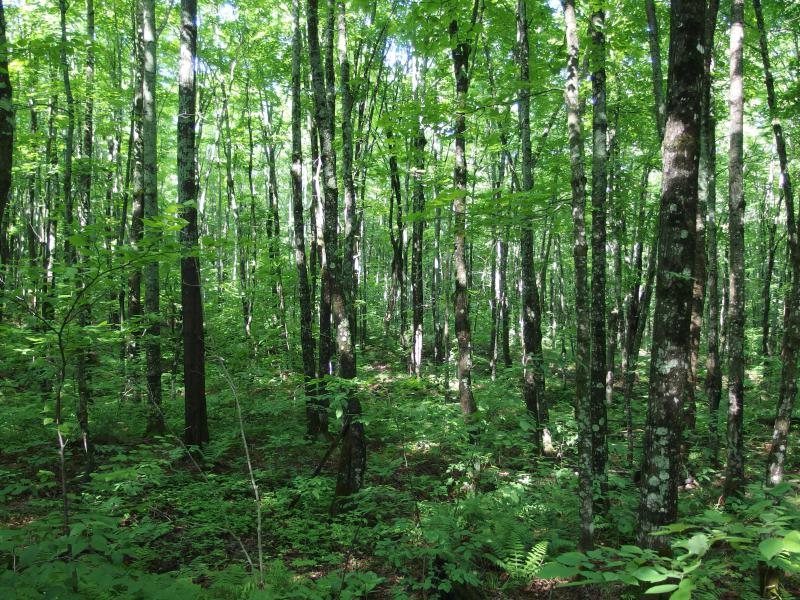
Sun-speckled forest south of Old Victoria
There was more than a view of Victoria Basin to be found here. This bluff rises from lowlands near the old US Mine, flat and swampy land that drains north up into Deer Creek away from the close West Branch Ontonagon River. It's the first bluff east of the mine and offers good views towards Norwich Bluff. There is also a rumored waterfall, Cushman Creek Falls, that falls down the same rock formation as Gleason Creek Falls. All I had to do was push my way through the thick woods and both views and waterfall would be easy to find.
The other important piece about this area is the North Country Trail. One of the more famous segments runs here, traveling from Norwich to Victoria Road, and rides up on many scenic bluffs, old mining areas, and waterfalls. The segment does not make for a good loop, running west-to-east for around 13 miles up and down steep hills, which is why I haven't done an end-to-end yet. I've done a few pieces near Norwich Bluff and Lookout Mountain, and today I was hoping to catch some of the middle via an awkward triangle.
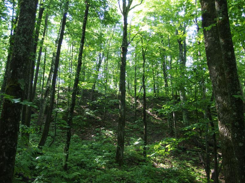
A deep trench along the hill
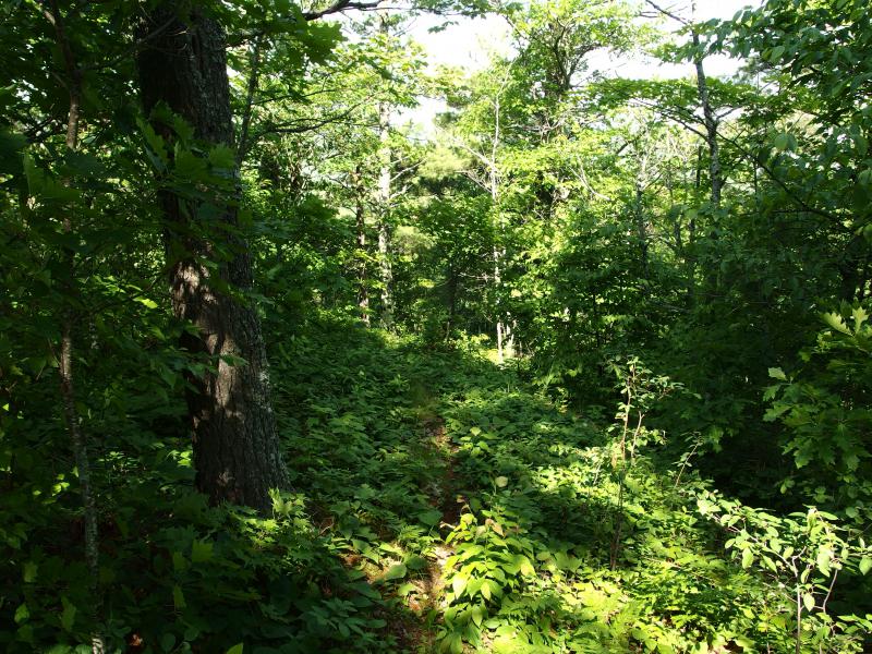
Sunny break of a trail
My bushwhack along the hill began to buck up and down trenches as I neared the trail, forcing me down into bug-infested stale air and back up muddy climbs. A thru-hike wasn't sounding so bad, as long as I could hitch a ride along Old Victoria Road on an ATV. 26 miles plus in the Trap Hills was a bit far for today's hot conditions. Finally I stepped out of the wet undergrowth into what appeared to be a narrow footpath. A quick glance around confirmed the blue blazes. I had made it to the NCT.
Unsure of where the views picked up I headed right first, downhill and westward, keeping a close eye to my left. The trail dipped quickly behind a narrow ridge of rock. Too far. Doubling back I cut off the trail, climbing up the ridge, and came out upon a sunny, windy vista over the green-green woods. Norwich Bluff peeked at first and, after I crept around a bit, showed its entire bulk. That's a big hill over there.

Tip of Norwich Bluff
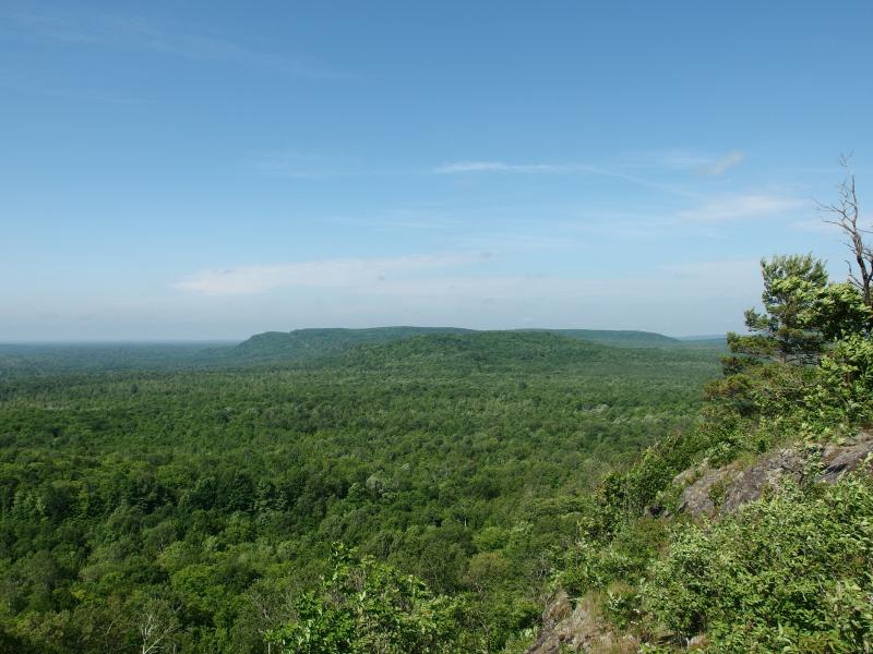
Bulk of Norwich bluff, like a long flat hill
I sank down on the damp rocky bluff and munched on some trail mix. The bluff looked surprisingly distant, hazy air lengthening the distance between. It would be dreadfully warm down there today. My gaze swung south to where the river should be, the waters of West Branch Ontonagon, though nothing showed up down there. No brown water or sandy banks. Just a hint of a depression, either from the river or river valley, but the river itself kept hidden behind green trees.

South over rolling green plains
Brushing the remnants of the mix off my legs I stood and trotted east, following the ridge in hopes for better views ahead. I still wanted to catch a glimpse of Victoria Basin, freshly refilled from last year's repairs, and maybe a good look at the river below. I had no luck, though. Too soon my ridge was eaten up, reclaimed by the woods, and the last look I got was of some clear-cutting far below. Clear-cut woods is depressing.
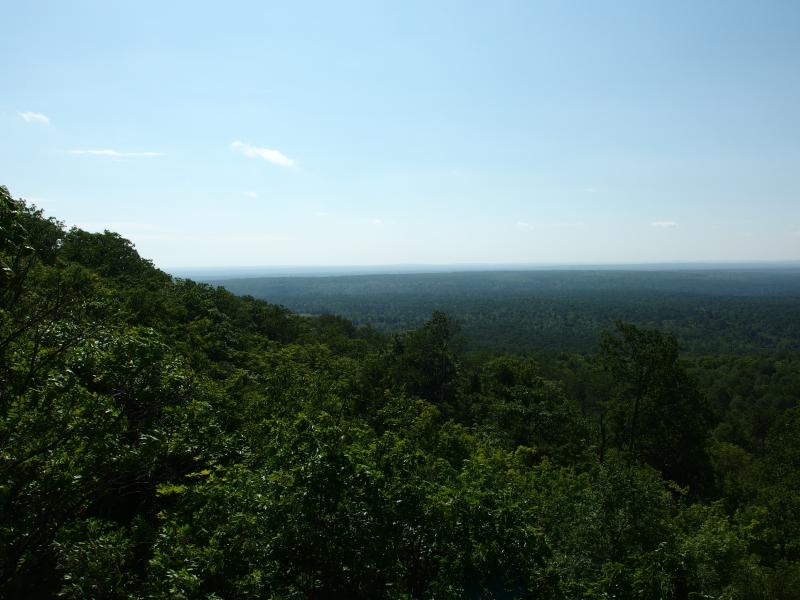
East towards Victoria Basin
Backing away from the ridge I found the trail with little trouble and pushed east easily. The breeze still drifted in from the open air to the south, pushing most of the bugs away and picking up the sweat from my skin. It was hot and sticky without the breeze, uncomfortable dampness collecting in my long-sleeved clothes, though the thought of exposing my arms to the biting flies would have been even worse. I checked my GPS infrequently, waiting for the right spot to cut down. There were some roads below the ridge, roads that I hoped would take me to Cushman Creek Falls, and eventually I picked a spot to leave the trail and venture down the ridge.
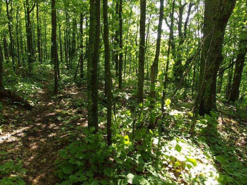
Sun shining onto the small trail
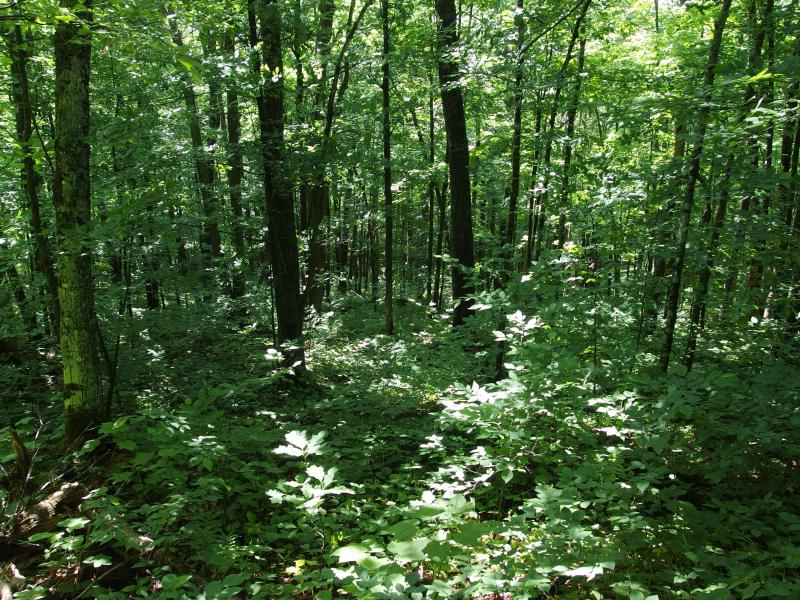
Going down the steep hill
Walking down the ridgeline was no fun. By now it was completely covered in woods, thick undergrowth and tall trees covering any hope of a view, and it was still steep and rocky. Ankle rollers gave way underfoot, bouncing and crashing below me, and trees that seemed solid crumbled beneath my grip. A few earthy spots that provided hope of an easy route gave way in a muddy whoosh, shooting me down a dozen feet in a sloppy mess. When the forest finally leveled out it was a relief to walk normally again, bruised and muddy, even if it was through quiet and humid woods that housed legions of mosquitoes.
It took me maybe fifteen minutes to find the overgrown track and another two to realize that what was once a logging route was now a long, straight swamp of muck and stink. Followed by a cloud of bugs I swung next to the road, parallel over dry ground, keeping a close tab on my guide as I continued east. When the junction arrived I leaned right, entering even swampier conditions, and I hoped that this waterfall would be worth the hellish route.
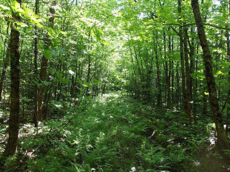
Mushy, overgrown track through the woods
When the sounds of a gurgling and rushing creek began to wander up through the thick and swampy woods I wasted little time crashing down to the banks. Cushman Creek cuts a muddy gorge through the woods, over twenty feet deep in most sections, and winds back and forth at the bottom like an agitated cat. I stopped briefly, checking my location and trying to ignore the swarms of mosquitoes filling my ears. Right now I wasn't too far from the NCT, still within a half mile of where it crosses the creek, though I think the waterfall is downstream near the bend. Stuffing my map away and swiping at the lucky few bugs that had settled on my neck and face I pushed downstream, feeling my feet sink in the soft ground between tall trees. internally calculating how long it would be before the falls would show up.
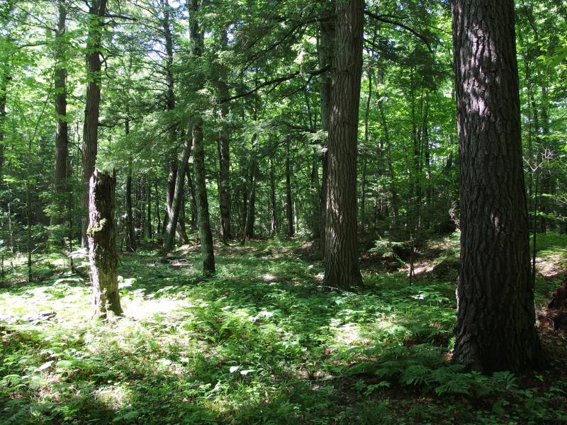
Old trees and ferns

The wide and muddy creek
The going wasn't tough along the creek. There were only a few downed trees to hop over and soft spots to avoid. For the most part I could just stay on one side of the creek, ignoring the winding for hundreds of feet, before having to jump across the mud and rocks. When I dipped down to tie my shoes, loosened by the wet and odd trek, bugs swarmed around me in a frightful cloud. For most of the route I was able to keep moving fast enough to avoid them. And then the bridge showed up.

A temp bridge over Cushman Creek
It was obviously a temporary fixture, though it did raise the question: why was there a road so far south of Old Victoria? I climbed up out of the creek gorge to find out. The bridge was actually pretty low, so once I reached the surface I still had another dozen feet or so to climb up the sloppy red clay of the track before I got a good look around. This was where they clear cut. Dozens, if not hundreds, of acres were leveled in a huge plain reaching far to the south and east.
Saddened by the sight I jumped back down to the bridge and continued on the creek. The sooner I could find these blasted falls the sooner I could turn around and start the long, slow climb back to my car, some four hundred feet above me by now. The creek began to narrow annoyingly, forcing me to cross more often. After a particularly frustrating tumble over downed trees and thick brush I checked on the GPS, curious how much farther there was to go. I was almost at Victoria Basin. There were no waterfalls this far south.
Frustrated, sweaty, and covered in bug bites I swiftly climbed up the creek bank. I was located on the far corner of the clear cut land from earlier. Without hesitation I started out across the desolation, dodging around the piles of brush and low trunks left from the loggers. Mosquitoes gave way to angry cutter flies that whipped around my head in tight circles. At least there were less flies than mosquitoes, even if their bites hurt more.
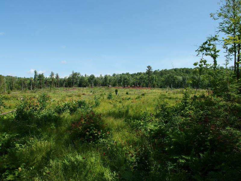
Clear cut land
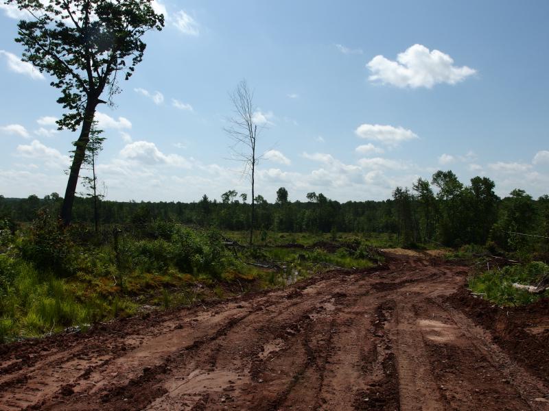
Sticky clay mud track
There was a brief moment of excitement when I reached the muddy track, a flicker of hope that the track would be easier to walk along than tall grass and brittle branches. It wasn't. The mud stuck to and slid under my boots, quickly turning my lightweight hiking boots into heavy clogs. Plodding forward I passed by the bridge from before and followed the tree line uphill, letting the sun bake me as I avoided returning to the creek. When I decided to return to the woods and creek I had to drag my boots along the pine needles and puddles to clean the layers of mud.
Back on a familiar section of creek I debated my options. Backtracking up the the ridge in a direct bee line to my car was not an appealing option. There was a logging road upstream, one that used to connect to Old Victoria, that was home to an extensive foul-smelling swamp. Without thinking of finding Cushman Creek Falls I decided to follow this creek upstream for a half mile or so before cutting a line towards my car and leaving these bug-infested woods.
With a rough plan I quickly trotted up the creek, passing where I originally came down and skipping with tired feet over the twists and turns. Fifteen short minutes and the sharp tinkle of falling water cut through the woods. A bright shock of white water falling over dark, mossy rocks showed up. The last two hours wandering downstream was all for moot - the waterfall had been upstream the entire time.
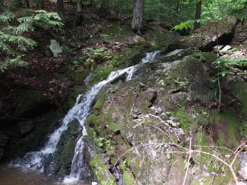
Small, gushing waterfall on Cushman Creek
After a few brief photos I crawled up the dripping rock walls and soon found the NCT fording the creek. If I would have just stayed on the darn trail and took it down the ridge I could have been well into my next hike by now. Kicking myself I plopped down on the trail, drawing my wet jacket around me and reviewing my topo map. I was tired, soaked in sweat, and just wanted to get back to my car.
It was great to find the waterfall and be back on the trail yet there was still a long ways to go. I had over 300' to climb to return to my car and I didn't waste too much time. The NCT followed Cushman Creek up for a bit before twisting west back to the exposed ridge. It was worth sticking to. Swatting away the few bugs that had found their way under my jacket I stood and headed down the trail, forcing my legs to move much quicker than they wanted to.
The trail climbed up the hill. As I walked and my legs began to protest the quiet sounds of waterfall rang out through the woods. Curious I wandered off the trail, back to the creek, and found a second small drop in the middle of a dark rock canyon. The rocks were slick and the bugs were thick so I turned around quickly and returned to the trail.
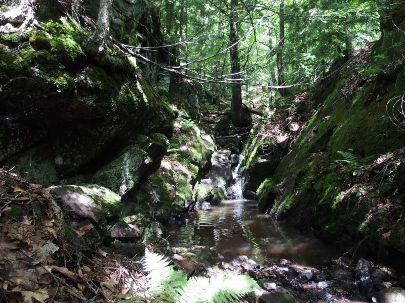
Small upper falls in the little canyon
When the trail crossed an old logging track I turned, not wanting to follow the trail too far, and soon found myself on the giant swamp I had hoped to avoid. With a bit of imagination I could make out Old Victoria on the far side. It was pretty bit of marsh, scum on the surface and an old cabin rotting on the side, yet was still a huge obstacle between me and the road. I was forced back in the woods to find a way around.
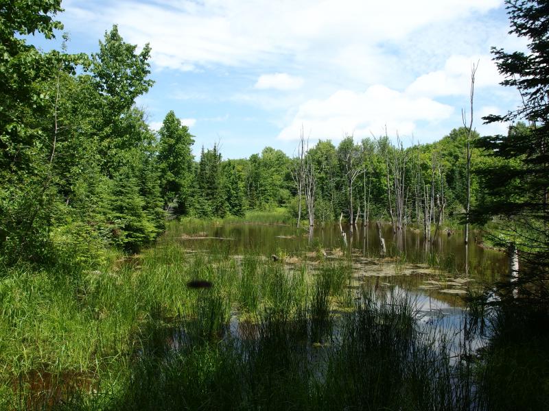
Stinking and marshy swamp ahead
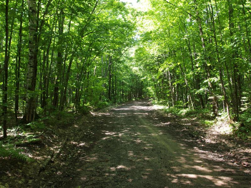
Back on Old Victoria Road
By the time I burst out of the woods and back on the main dirt road I was drenched through with sweat, hat dripping and shirt plastered to my skin. It was well after noon, my easy stop turned into a long ordeal, and I was beyond done with this area. There is another hike I want to attempt near here, another section of the trail east of Gleason Creek, but not today. When I reached my car I changed my shirt, drank a half gallon of water, and enjoyed a few minutes of bug-less quiet before rolling onto the next hike. There was no way that the bugs would be worse on the next hike.


-
Jacob Emerick
Jul 27, '14
Hi Dave! No, no mine remnants. I think the US Mine was across the large gap, though I may be wrong. Just a lot of little stream gorges along the side of the hill and a very bumpy walk down to the creek. Have you been to Lookout Mountain? That's a good section over here, and a pretty easy stop from Victoria area.
-
dcclark
Jul 27, '14
Yes, I've been to Lookout Mountain and back to Victoria Road -- that's the only part of the NCT that I've done around there. (Of course I've hiked the loop around Norwich, but the area in between is what really calls to me -- a truly remote and rugged area.)
-
Jacob Emerick
Jul 30, '14
If you get to that in-between land you'll have to let me know how it is - I was tempted to try it on this trip but turned around after the bugs/sweat/logging activity. Would love to start at Gleason Falls and head east to US Mine area, some sweet-looking knobs along that length.
Add to this discussion-
Jacob Emerick
Aug 22, '14
Really gives a different perspective, doesn't it? Usually think of Norwich as just the south-facing cliffs, not as much of an entire hill.
Add to this discussion