Bluff Spring Mountain Loop
Looming on the horizon, a bulking shadow against dark sky, Weaver's Needle beckoned to me from Fremont Saddle. I shivered in the cold air and pulled my worn cotton sweater, damp with sweat, around me in protection, as if the thin, torn fabric would keep me safe from the imagined dangers hiding beyond my headlamp's touch. There was still an hour before the sunrise. Scurrying up the climb of Peralta Trail to the saddle, one of the most popular routes in the Superstitions, had been a quiet affair this early in the day, with even the overnight adventurers burrowing out away from the path. With one last look at the time I leaned on and started the long downhill trek to Boulder Creek.
The goal for today was to get some distance under my feet and be home before noon. The Bluff Spring Mountain Loop fit the bill, as Peralta Trailhead is less than an hour from my driveway and these trails are well-maintained and easy to trot along. Adding Peralta Trail for the extra distance, and factoring in my early start, this equated to a 17 mile loop in 6 hours. Peralta Trail would go up and over Fremont Saddle; Dutchman Trail would take me over a pass, into Needle Canyon, up La Barge, and past Charlebois Spring; and Bluff Spring Trail would finish the loop around the mountain. Twenty-minute miles seemed achievable along these well-trafficked trails, plus a bit of buffer for breaks.
North of Fremont Saddle the path switchbacks before slinking along the side of Boulder Canyon, passing Pinyon Camp and a few unofficial routes up to the base of the needle itself. I passed through little micro-climates, icy air in gullies and cool breeze on hills, ducking under frosted vegetation tunnels and skipping along slickrock. Slowly, so slowly, the day woke around me, pink air and warming breath, the once-threatening shadow resolved into the sharp yet familiar outline, and I reveled in my unique northern position of the predawn Weaver's Needle.
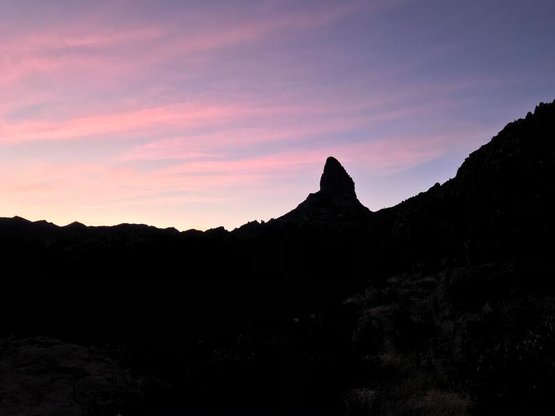
Sunrise light on Weaver's Needle
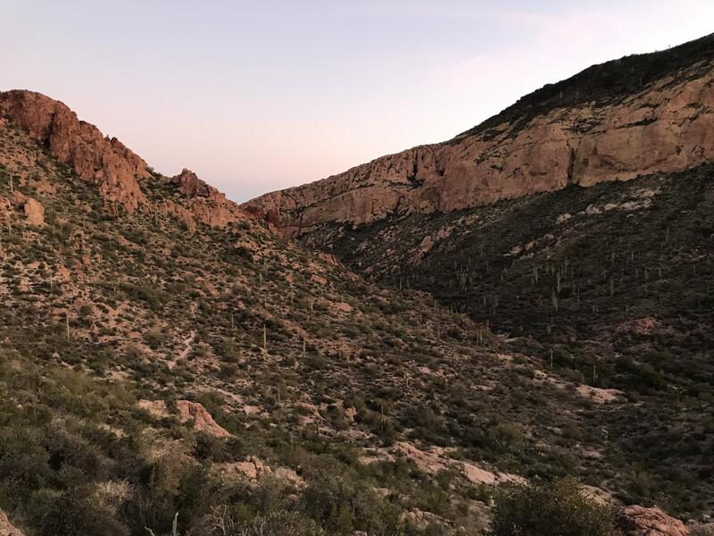
Canyon between Black Top Mesa and Palomino
I continued to drop as the sun began to rise, down a tricky tributary and into Boulder Canyon, meeting up with the junction of Dutchman Trail. Here, at the northern terminus of Peralta Trail, at the same elevation I had started two hours ago, I finally took a break, enjoying a hardened granola bar and some water while the camp sounds of backpackers drifted through the growth. While I couldn't see them, I could smell their campfire and wondered what they would be having for breakfast. Probably bacon, or biscuits and gravy, or scrambled eggs, or any one of a dozen stomach-growling choices that made my meager meal feel all the more inadequate.
Shrugging off my sweater I continued on my loop. I wasn't warm, and the sun wasn't close to touching me, but I had a hefty little climb ahead of me, and I knew that would warm me more than my light sweater. 300' to Black Top Mesa Pass, a short hop compared to the 1400' haul up Fremont Saddle, was steep enough to work up a new sheen of sweat. Cresting the top I paused long enough to gaze up at Black Top Mesa, remembering the hieroglyphics that Chris and I hunted down years ago up there, and then started the long tumble towards Charlebois.
From the pass the trail heads east to the Terrapin junction, then north along Needle Canyon, then back east as it follows La Barge upstream. This section of Dutchman is very popular with backpackers, with year-round water and good camping options at Marsh Valley, Charlebois, and La Barge Spring. I've only done the overnight once, in the dead of summer, and while it is a nice area, it's not nearly remote enough to bring me back again, especially during this more popular time of year. Indeed, as I followed Needle downstream, rounding the side of Bluff Spring Mountain and emerging into the sun-kissed valley, a faint haze of campfire smoke was visible in the morning light.
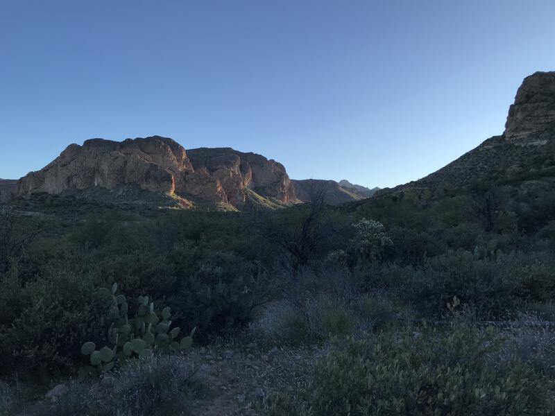
Early light on Black Mountain
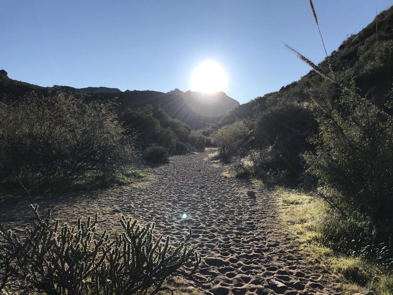
Summer is coming
I passed one, then two, than even more campsites, waving friendly at their waking routines and silently wishing that I had the time to stop and beg a cup of coffee. Once I got close to Charlebois I decided to give my legs a change and indulge in my introvert side and, instead of swinging close to the spring and seeing more backpackers, I dropped into La Barge Creek itself, boulder-hopping for a few hundred yards, then pushing up through an overgrown bank towards a marked waypoint. In a few short minutes I was standing in front of the Master Map, a renowned artifact for Dutchman hunters.
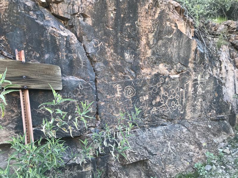
The fabled Master Map
While I knew that my window of time was steadily marching forward and that I still had a long way to return to my Jeep, I couldn't help but stop and puzzle at the map. It looked like any one of a dozen petroglyphs from the natives of this land. Yet, some rather smart people swear that its part of the legends of Spanish gold, and that it, plus some stones and maps and the etchings on Black Top Mesa, all create an intricate story that leads to unbelievable wealth. Maybe I just love the lore more than the hunt itself.
A quick scramble back to the trail and my feet were swept forward again, speeding east and south, crossing and re-crossing the creek, moving towards La Barge Spring and the Red Tanks Trail junction. I passed my first other day-hiker of the day, a runner, and several other campsites before reaching the junction. There was a moment's hesitation at the junction, when I realized that La Barge Spring was a mere hundred yards away from my route, and I really do love that spring and was curious how many backpackers enjoyed the area last night, and I ultimately chose to keep on my route instead. Two hours left to hike over five miles and my legs were tiring.
From the Red Tanks Trail junction, Dutchman Trail climbs 400' as it swings in and out of multiple drainages coming down off of Bluff Spring Mountain, never quite cresting any of the ridges and never staying in a straight line for too long. I hated this section. The sun was out and shining directly on me, my legs had started to ache from the long morning, and this trail just would not end.
I passed the spur trail to Bluff Springs proper and met with a trail junction, this time leaving Dutchman for Bluff Springs Trail. This trail quickly dropped into a drainage and we climbed together, following the trickling creek to its source, cresting a saddle at 3200', my second highest saddle for the day. "It's all downhill from here" I thought with a wry smile. At the junction with Terrapin I stopped for a quick view of the needle, from a very different angle, and then continued the return trek.
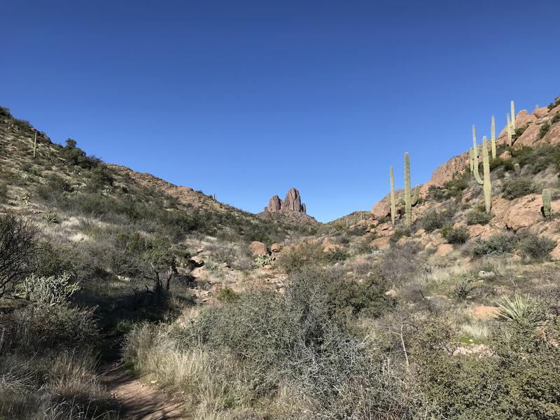
Back to the Needle
Beyond the junction the trail drops hard, plays along Barks Canyon, then picks back up for two quick climbs, before a very rocky drop to the parking lot. Which isn't fun to tackle in either direction. The traffic picked up, closer to the lot and later in the day, and I saw five or six groups within the final two miles. I returned to a full parking lot, made a quick change, grabbed my extra water, and started the drive home, happily exhausted and dusty, returning home just in time to wish the wife well on her way to work. Can think of worse ways to spend a morning.


Comments (0)