Blind 35 Hills - North Side
West from Big Bay is the Huron Mountain Club, stretching over some of the most pristine land in the Upper Peninsula. An old, abandoned road stretches out towards the club, surrounded by tall, forested hills, before suddenly ending at the property line for the Club. These hills are cut in half horizontally by the road, also known as Blind 35, and range around 1300' in elevation. After a brief visit to some of the northern outcroppings over a year ago, I returned to this area in hopes of finding some good views of Lake Superior and the untouchable Huron Mountain Club property.

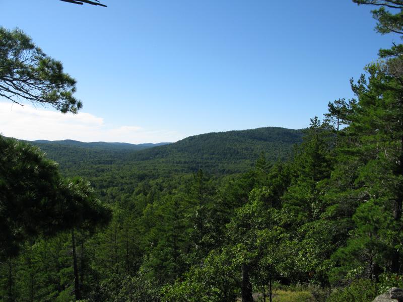
Looking east along a steep outcropping
The drive from County Road 510 is not a gentle one. Blind 35, once the makings of a state trunkline, has been poorly maintained for years. My small car lurched and shuddered over the rutted road as I tried to avoid the large rocks and deeper mud pits. The road is interesting to drive on - it is straight and relatively level, and it's easy to imagine this being a paved throughfare straight through to Big Erick's Bridge. However, in it's present state, I was more than happy to pull off to the side after 3 miles to start my hike.
Side note: for more information about Blind 35, the check out Michigan Highways article. The history of this road is pretty interesting!
My first waypoint was less than a few hundred yards to the north of my parking spot. A small rocky outcropping on the shoulder of the northern hills that promised good views of the upcoming sunset seemed like an ideal camping site. I pushed my way into the thick brush surrounding Clear Creek, which runs parallel to Blind 35, breaking through onto a steep pine-covered slope on the opposite side of the gorge. The climb was brutal with constant rocky obstacles and a punishing grade. By the time I reached a level area several hundred feet above the car I was gasping for breath. The sweeping vistas from the campsite proved well worth hauling my gear up the slope, though.

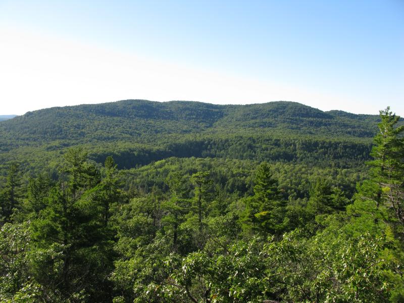
Looking southwest at the Snake Creek ridge

West towards Ives Hill from the campsite
Once I had my tent set up and drying (the last few nights had been quite wet for my gear) I regrouped and headed west. While the views westwards were quite nice from my outcropping I also hoped to catch one northwards to Lake Superior and the mouth of the Salmon Trout River. Following the outcroppings around opened up more views of Ives Hill and the Salmon Trout River to the west (with a bit of imagination, I could almost hear the roar of the Lower Falls on Huron Mountain Club property). The outcropping ended before offering a northern view, though, and I started to wander on the northern slopes. The trees here were enormous and ancient, blocking any hope of a good view, though I did find a small window between the branches with Lake Superior and the bumpy Keweenaw Peninsula peering through.

Winding valley for Salmon Trout River

Limited view of the Keweenaw Peninsula
Retreating back to the south over the crest of the hill after the short loop brought me some amazing southern views. I was an additional 200' above my campsite on a long, rocky ledge, and I could easily make out winding cut of Clear Creek and mountains surrounding County Road 510 in the distance.

Looking southeast from the crest along Clear Creek
I took the ledge back to my campsite. There are more outcroppings to the east - I was only on the westernmost of the northern hills - but I was ready to call it a day. The western views are the best to be had from this area... Salmon Trout River seemed a little more than a mere stone's throw away. Besides, I had more hiking to the south planned for the next day. For now, I settled down to a small dinner and watched the sun set over Ives Hill, enjoying the remote and quiet Blind 35 Hills.

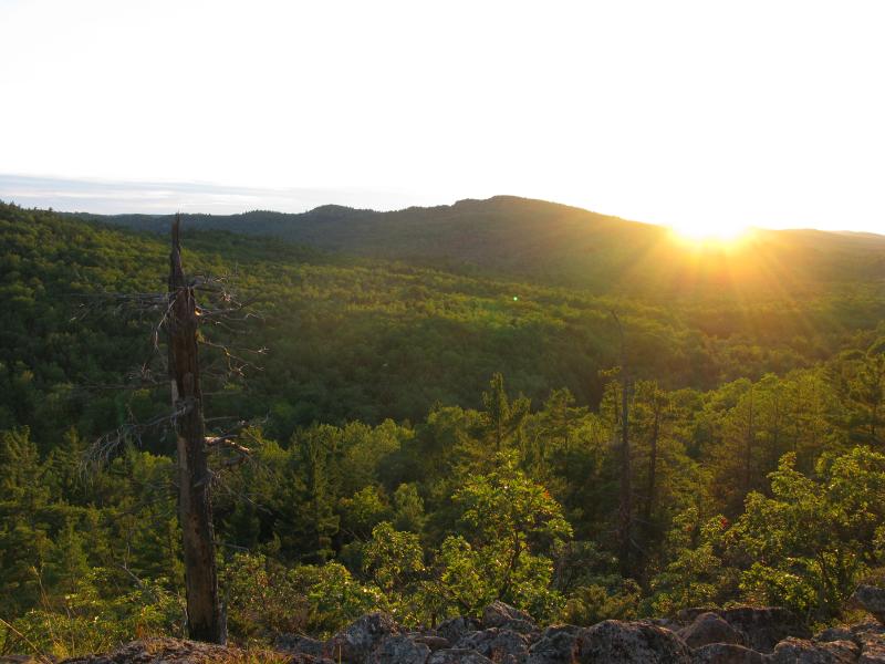
Sunset from the camp


-
Jacob Emerick
Feb 4, '12
Nice! Planning on taking the Noque trails from Big Bay? I mean to hike those one day, but prolly not during the winter.
Add to this discussion-
Jacob Emerick
Feb 6, '12
Gotcha. Not sure if you the Big Bay Noque trail would work for sleds - prolly have to take some old logging roads from Blind 35 up the south face. And yeah - good luck finding a natural ski slope :P
Add to this discussion-
Jacob Emerick
May 13, '12
Thanks!
Add to this discussion-
Jacob Emerick
May 29, '12
Thanks Nathan! You're right - it doesn't get much better than the UP. Was there any spot/hill in particular in the Blind 35 area that you liked the most?
Add to this discussion