Black Rock Point
Familiar green woods pressed around me. I was on my way out to Black Rock Point, a place north of Big Bay that I had visited several times before. A few discussions with a fellow hiker, Joel, had sparked my interest in the cliff base here. It was late in the evening and the sun had less than an hour left in the sky and I was heading out to attempt the mile hike from Black Rock to Salmon Trout Point along a potentially slick and submerged cliff base. Seemed like a smart thing to do.
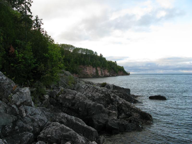
North from the point
From Sullivan Creek Road the path is easy enough. A narrow two-track stretches out towards the shoreline in a wavering line, blocked by two red gates (both were open today) and huge puddles of mud that would have swallowed my car whole anyways. It's an easy enough walk, level and clear, and I enjoyed the short stroll here. Most of the areas I hike through are rugged with hills and creeks cropping up every hundred yards or so. Not here. On the spur of land that stretches north of Big Bay everything is (relatively) flat. Vision fades into the grey/green of a thick forest in all directions, swallowing up sounds and distant views in a calming sameness.
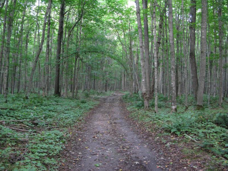
Narrow two track from Sullivan Creek Road
First came the points of bright blue light flickering through the trees like beckoning candles in a window, then a multitude of breaks in the trees, then the steady roar of Lake Superior below. The two-track ends at the top of Black Rock Point at a small clearing. I could see water on both sides of the clearing so I eagerly headed out, along the narrow footpath that leads to the very tip of the forest, catching views south to Big Bay on the way.
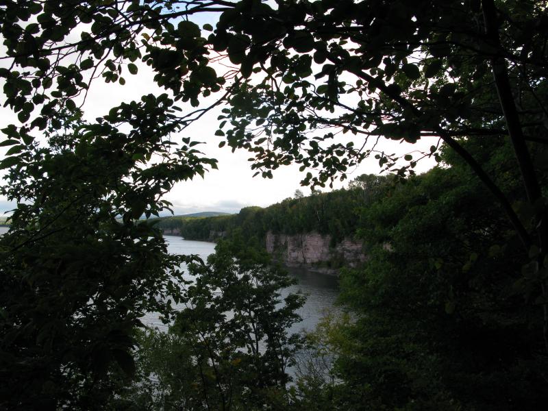
Southern cliffs
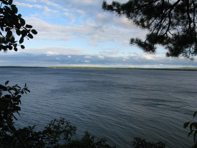
Waters of Big Bay
The breaks in the trees let me look south along the cliff edge and into the watery expanse of Big Bay, dotted with houses in the distance. Too soon the path ended at a steep, gravelly plunge some eighty feet above the worn black rocks below. This wasn't the way down. Well, it was a way, but not a life-sustaining one. I turned back towards the forest and followed the footpath back to the clearing. A safer route would take me down to the shoreline, albeit a steep and sandy one.
The first part of this route is a over a set of old roots that form loose set of stairs down a dozen feet or so. Then the overhang shows up, jutting rock with green lichens clinging to the sides. A few rocky drops after the sandstone and I stood upon the black rocks themselves, ancient volcanic rock that shows up frequently along this shoreline. It is old rock, worn white and grey in spots by the elements and spotted with green growth, and it forms the point of Black Rock Point.
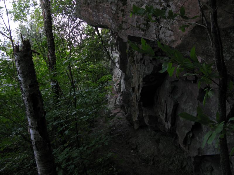
Overhanging sandstone
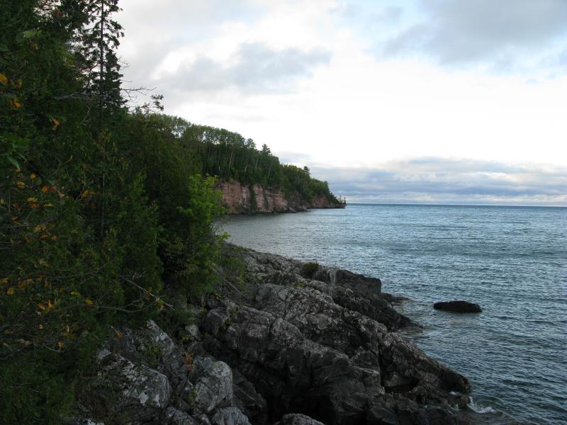
Northern cliffs beyond the black rocks
So, the hike. I wanted to head north. I set off with an excited jaunt, big steps over the rocky jumbles and judged leaps over a few small gaps. It took me maybe an entire minute to bump into the first obstacle. A deep crack opened up, the edges too sloped to jump across, with churning water booming below. Oh.
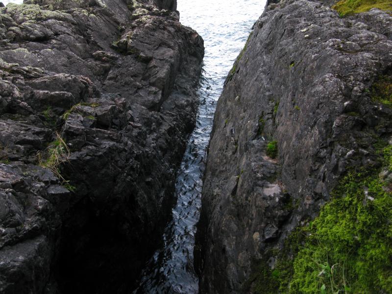
Narrow watery crack in the rock
Carefully I inched my way to the point of the crack, a tangled mess near the encroaching forest, until I could make a safe step across. This was tricky - the closer the rocks were to the forest the more covered in slick green mossy stuff they were. I made it through and, shaking it off, continued northwards. An easy minute later I was standing at the next obstacle, a little bay that sunk in below the trees and whose bottom was covered with a weird blue tint.
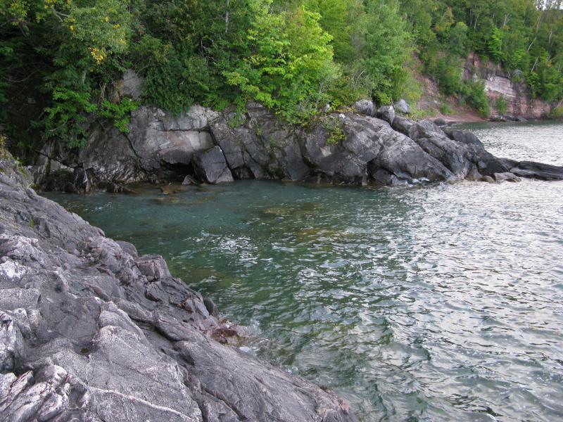
Bright blue cove
Now, I knew that I would have to wade in the water at some point. I was prepared to do that and was wearing semi-proper gear. This bay was not a good place to jump in. There was no easy way in or out of the water, I couldn't judge how deep the water was, and the lakes floor was littered with boulders that I could only assume would be too slick to keep footing on. I headed into the thick, brushy woods.
These woods were not made for walking. There was a slight path following the rim of the bay from previous bold adventurers, now littered with a few downed trees and greedy branches. Once they reached the apex though, these adventurers must have turned around. To one side was a wall of snake weed, promising unsteady ground. The other path was horribly steep, spilling down into bay and clogged up with a half-dozen downed trees. Cussing under my breath I pushed through the downed trees, very away of how shaky they and the ground were here, until I finally reached the other end of the bay. It took me fifteen minutes to cover maybe thirty feet.
On the north side of the bay I eagerly clumped out onto the open rocks again, clear of that obstacle and looking further north to see what was next. I was almost free of the black rocks, almost at the sandstone cliffs now. An interesting obstacle lay ten feet in front of me. A dripping, tilted slope of rock, soaring down into the watery depths, with a turnip of sandstone perched precariously on top. There was no way around it near the water and the forest route would take me up and over the turnip. I was done.
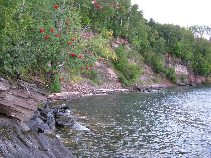
Sandstone cliffs just out of reach
Now close to the sandstone cliffs I was able to make out more difficulties ahead. The cliffs didn't just end at the lake, they swooped down in a slow curve near the edge. There was little flat ground, just angled sandstone that looked slick and algae-covered. Joel had jokingly mentioned that the best way to tackle the mile walk to Salmon Trout would be in swim trunks. I think I'd up that to an inner tube. I can't imagine walking the length, not with the steep angles and deep water, but I can't imagine swimming the whole way either. Maybe this stretch is best left to the kayakers.
Defeated I turned around and made my back around the cove and the crack, cutting through the woods and leaping over rocks. It would have been a bit over a mile to Salmon Trout Point, a short wet walk, but it took me thirty minutes to just cover the length of Black Rock Point (about a tenth of a mile). When I made it back to the tip the skies were darkening and I contented myself to watch the sunset from the east and letting the idea of tackling the cliffs die with the late summer day.

Darkening skies over Lake Superior


-
Jacob Emerick
Nov 11, '13
Ha ha, feel free, just make sure to MLA annotate it back to the site :P
Add to this discussion