Winter's Fog over Wewe Hills
Ghostly fog crept over the dark road, repeatedly slowing me on my early morning drive. It was an uneasy reminder of a trip only a few months ago when my hike was cut short by a solid wall of mist on a bluff out by Irish Hollow Cemetery. Today's first adventure depended heavily on good visibility and I hoped that waking up at 2am and driving up M-35 before sunrise wouldn't be in vain.
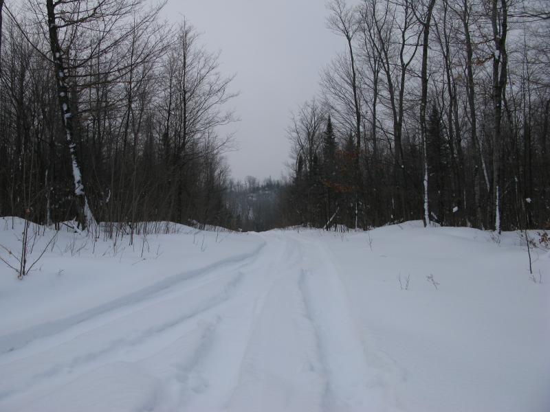
Tracks leading to a tree-covered bluff
Wewe Hills was completely unknown to me a year ago. It wasn't until I started eyeing up the impressive rocky cliff near Goose Lake that the name cropped up on my radar. There are a number of hills around the lake: Kona Hills to the north, Ragged Hills northwest, and Wewe Hills bordering the south shore. After some poking around I've learned that Van Riper State Park picked up some land in Kona (although I'm not sure how much or what they're doing this far east) and that there is a lot of geocaching around both Kona and Ragged Hills. There's also a gun range over there, something I'm not as interested in. Wewe Hills, though, seemed pretty empty, even though it has the highest elevation (above 1600 feet) and the easiest access. A few high bluffs combined with the bare winter forest seemed like a great destination on this warm winter day… If the visibility would hold up.
The fog pushed me behind schedule. I didn't pull up to County Road MA until after the sky was starting to light up. There was no way to tell how far the sun was with the thick white dome surrounding me. I assumed it was up by now and hoped it would start burning away the fog. There was a large loop for plows at the end of the road, just as I had hoped for, forming a comfortable sanded spot for me to park. It was a bit after seven when I stepped out into the mild cold and stretched my stiff limbs in preparation for a long hike.
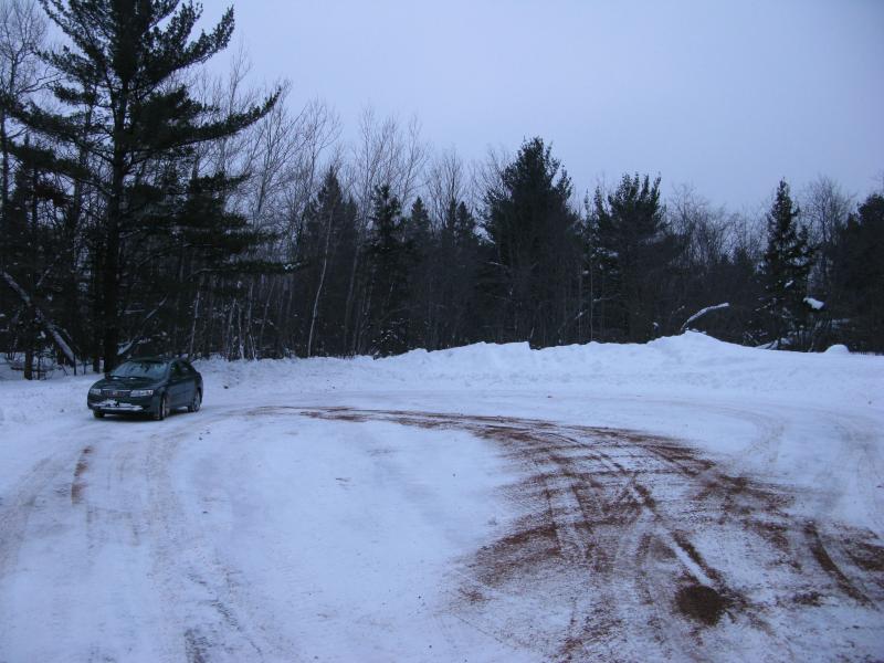
Wide parking loop off of County MA
I grabbed my gear and selectively chose just the right combination of layers before heading back to the road. One thing I had noticed about Wewe Hills is that they have an entire network of logging roads criss-crossing them. County Road MA continued up the hill as one of the main trunks, eventually swirling and forking around the high point itself. Logging roads usually meant snowmobile tracks, which meant a packed, easy route for me.
I don't own snowshoes. It's not that I have anything against them, it's just that I haven't bothered to invest myself that much into winter activities. Wading through the snow is a good workout (think never-ending stairs) and does provide a decent amount of flexibility over steeper bluffs and logs. One day I might cough up a few hundred dollars for a pair. I'm just not in a terrible rush to yet.
When I ventured over to the logging road I was surprised to see a set of wide tire and snowshoe tracks leading out of the woods. Not only had some ambitious truck driven up the hill sometime in the last week but the fresh, one-way tracks meant that I wasn't the first visitor to Wewe Hills today! Excited to follow the packed tracks up and the chance that this area held something exciting enough to draw a winter camper I quickly swung over the plow's snow wall and started up the trail.
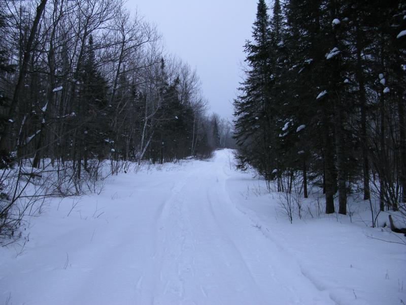
Wide track up the hill
A gradual incline increased as I walked south causing me to slip and lose my footing a few times on the climb. I glanced back occasionally, hoping to catch a good look back at Goose Lake and last summer's cliff. It took close to a quarter mile but eventually the snow-covered plain of the icy lake peeped out above the tree tops. The fog was already thicker than it was a half-hour ago. I had hoped the sun would break through the fog but it was only stirring it up. Holding onto the hope that I would make it to the first outcropping before it was too late I pushed forward, ever faster.
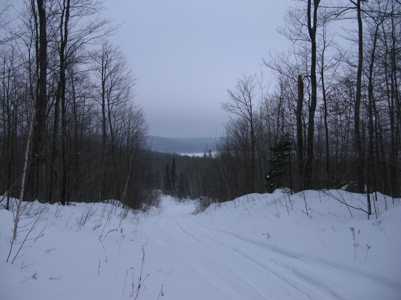
Looking down over Goose Lake and M-35
It didn't take long for my easy hike to get more difficult. The snowshoes were the first to leave, cutting off with a small track to the right to a possible hidden camping spot. Tire tracks veered left on a fork soon after. A few snowmobiles helped me along as I neared the first main point on my hike, even though every third or fourth step broke through their shallow pack. When the hill steepened suddenly to my left I wasted little time cutting off the road, excited to start the tough part.
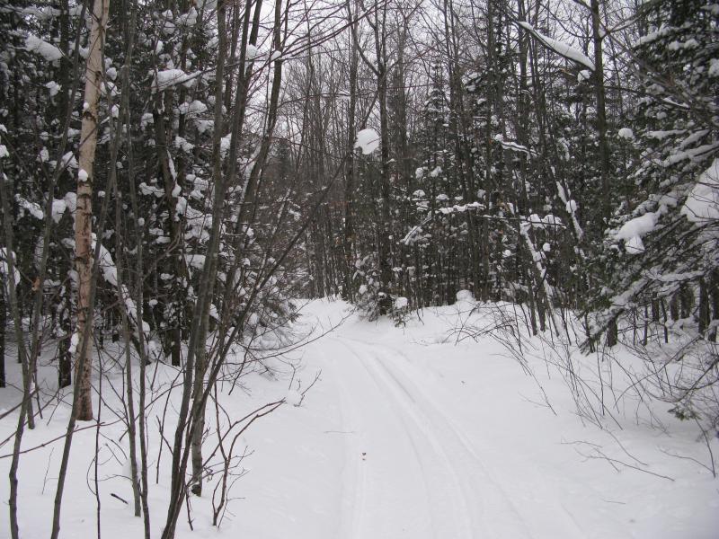
Narrow pretty winter trail
There is a little trio of outcroppings here. One faces west, towards Palmer and the open pit mines. Another looks south to the massive Gribben tailings pond, a bright orange wound from the satellite photos. The last one looks northeast back at Goose Lake. As I climbed the one facing west the sounds of the mine grew louder, the clanking iron machinery and huge vehicles drifting through the trees. When I finally broke out of the thick woods and spun to the west my view was completely blocked. There was an outcropping here, a flat and bare expanse of unbroken snow, but the forest grew high all around it. There was nothing to see here.
I tried to buoy my hopes and headed over to the second outcropping. So what if one of the stops was a dud, I had two more to check out. Besides, the next one just might have a good enough angle to catch a corner of the mine. I tumbled down the east side, making lofty plunges down a rock canyon that would have been foolish and possibly maiming without the thick snow layer. Climbing the second outcropping was more difficult than the first. I had to resort to using trees for leverage, swinging and zagging and clutching my way up the steep rock until I reached the top. This outcropping was much smaller than the first one but it had a view. Well, as much of a view that the fog would give me.
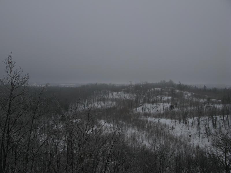
Scraggly hills to the south
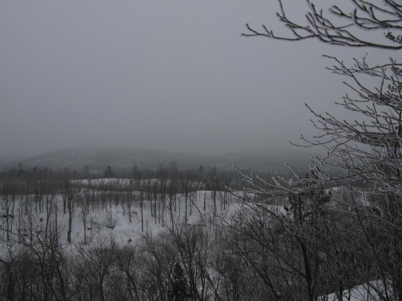
Hills and fog to the west
A shallow valley lay before me, bare with logging and stubbed by a few outcroppings. It was no more than a few hundred feet away. Beyond that I could make out a few features, some trees and flat plains of snow that faded away quickly. Neither Gribben Lake nor Empire Mine, both about two miles away, were even close to being visible.
Fog had thwarted me again. With a heavy sigh I turned from the ridge and debated heading back to my car. There were few other highlights on today's hike outside of outcroppings and distant views. Since I was up this far I might as well head over to the third outcropping. After a relatively easy trek over I stood on a wide sloped plain looking north, one that promised year-round views of Goose Lake, and looked over the trees that faded away to milky white nothingness. The trio had completely let me down.
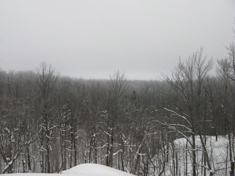
Fog to the north, blocking Goose Lake
If I wanted to give up and head right back to my car the easiest route would just be a backtrack. That didn't sound like an appealing option. The highest point on Wewe Hills, a bump over 1640 feet, was only a mile or so away and there were several logging roads in that direction. If I could find a decent snowmobile track or those tiremarks it could be an easy stroll over and back down to the car. I turned east and headed away from the outcroppings, deeper into the hills.
On the way down I couldn't help but admire the wintery trees. Frost was collecting on the uppermost branches from the fog and creating a delicate framework high above. Below the frosty tips snow grouped on the elbows and crooks, looking like white Christmas ornaments in the distance. There wasn't a lot of snow collected up there but it was enough for me to be careful not to shake it down on my head as I passed below.
According to my map there was a span maybe a half mile of deep snow and no tracks to wade through. Off of the outcroppings the protected snow was over my knees, puffing up with each step and dragging at my feet. I slipped into a familiar rhythm: look around and pick a path of least resistance, lean down and push forward for a few dozen yards, and stop to catch my breath and reassess my progress. Every fifth or sixth push I'd check my GPS to make sure I was still on track since I tend to veer around a lot more at this broken pace. I slowly made my way across the half-mile over the next hour through small pine clusters and open hardwoods, over short rises and down shallow frozen marshes, until I reached the logging road. A wide open stretch greeted me, covered in deep snow with nary a single track across it.
I knew there would be a decent amount of snowy trudge on this hike, especially on this route. Still, a break would have been nice. Crashing sloppily on the snow I pulled out my topo map and compared it to my GPS. This was one of the main routes, connecting the road I took in to the powerlines to the south. There was another one that paralleled it a short distance ahead of me that forked off. If the tracks weren't on this road than they had to be on the other one. Once my glasses defogged and I felt rested enough I lunged back up. I chose to head down to the powerlines, figuring that there must be some snowmobilers that followed their wide route through the woods.
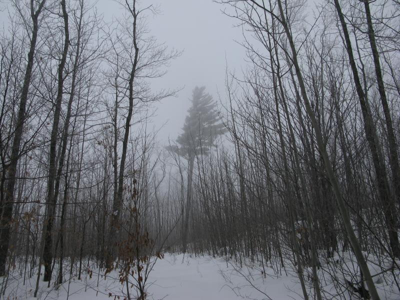
Mist and a single tall pine
Snow was deep on the open track. I sunk down to my waist several times and had to lean forward and flail awkwardly to get moving again. My rests became more frequent as my glasses fogged easier and legs tired quicker. I had made the mistake of not tucking my jeans into my socks, allowing snow to collect inside and creep up my leg with its cold weight. Not caring enough to clean it out I continued pushing forward, only the power lines in my mind. I almost missed them at first, thick fog masking the wires and parallel poles. Excited I cut off the road to them, even hearing a snowmobile in the far distance. When I reached them my heart sank. There were no trails, no traffic here. Blank white snow disappeared into the thick fog as far as I could see in either direction. I was doomed to the snow.
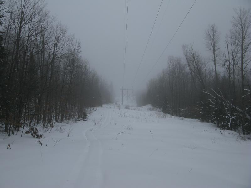
Lonely powerlines
Refusing to believe that I was stuck this far out here, miles from my car, I stood on unsteady legs and looked around. I ran through my options in my head, comparing them to my topo map, trying to think of an easy way out. I could backtrack. I could try to find the main route I had hoped to find, although that meant climbing back up several hundred feet in the deep snow. The powerlines eventually led back to M-35, miles from Goose Lake. Right now I was pretty far from the car and any sort of easy route, the farthest I had been on my entire hike, and I was not sure how to get back.
I forced my wooden legs forward, back into the woods, cutting a straight line north to what I really hoped was a logging road with pressed tracks. Less than ten minutes later I froze. A high-pitched howl rang through the woods behind me, followed by a series of yips. Somewhere I knew it probably wasn't a wolf, not this far south or this close to Palmer, yet the sound shot right down my back like a trickle of icy water. I listened as the howl repeated again and again, trying to figure out what it was and if it was moving. Five minutes later and it stopped. I held still, listening with everything I had, but couldn't hear a thing. Eventually I shook myself and started up again like a stubborn rusty machine too old and low on oil to be safely started.
This last climb was the toughest, along a steep slope with young trees that had done little to hold back the snow's accumulation. Again I used the trees, bracing my feet and grasping on with my hands, pulling myself up with everything I had. When I finally reached the top I couldn't stop and stumbled forward clumsily. An open area stopped me short. I was on a road, a road with no tracks, a road that should have had tracks.
There wasn't much of a choice at this point. Backtracking was not an option this far along. I didn't let myself consider the options and pushed to the right, climbing higher up Wewe Hills. It was stubborn, it was stupid, continuing further from the known lands and into a potentially more difficult area, and it worked. Twenty minutes of deep snow and I was back on the wide tracks.
This didn't make sense at first. Later I would find out that I had drawn some of the roads wrong, that they looped around the hills at different spots, and that by trying to connect the elevation and the logging roads I had ended up far off course. The tracks I was on took me right back down the hill, past my first fork and straight to my car.
Being able to walk on ground without sinking into thick fluff was a complete relief. My muscles thanked me repeatedly, stretching out to a normal use, and soon I was strolling right along. I couldn't help glancing to my right, to the east, and notice some tall hills and huge pines. The road led close to the highpoint, only a few hundred yards away. There was no way I was going to wade through the snow again. I headed back to the car without any more hardships.
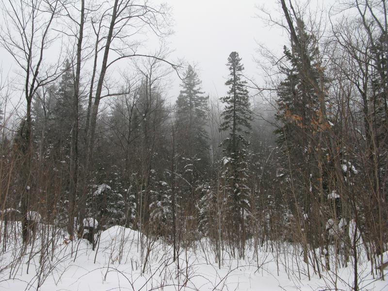
Tall pines near the highpoint
I don't feel like I'm done with the hills in this area. Wewe Hills does promise some great views over the mines and Goose Lake, and Kona and Ragged could have some distant views of Lake Superior and the closer Sands. At least I have a better grip of the logging roads now, even if the fog had blocked all of my views. This area would make a nice weekend-long exploration, just putzing around and checking them all out one hike at a time. But not during the winter.


-
Jacob Emerick
Feb 13, '13
Ha, just saw your post over on the forum yesterday! Still kinda on the fence, as I'm only up there a handful of times each winter, but it feels like every snowy hike ends with the same death march without snowshoes. Maybe this spring... Could get a matching tiny set for the baby and then get them bronzed when he/she grows out of them...
-
dcclark
Feb 13, '13
What can I say, I like my snowshoes. :P Something to keep in mind is that they don't totally float. In undisturbed powder, a modern aluminum pair can easily sink a foot down.Also, have you seen the awesome kids' snowshoes? Totally worth it: amazon.com.
-
Jacob Emerick
Feb 14, '13
Sir, those are awesome. I kinda want a pair of monster snowshoes now.
Add to this discussion-
Jacob Emerick
Feb 14, '13
You betcha, Doug!
Add to this discussion