The Elusive Vista Falls
There is no other waterfall in Michigan that has confounded me as much as Vista Falls. Sure, I did get lost over night while cutting through the Herman-Nestoria swamp looking for Upper Sturgeon Falls. And I almost got my car stuck in the mud looking for Upper Silver Falls. And there was that time at O Kun de Kun when I thought the black flies were going to eat me alive. Yet Vista Falls will always be the worst waterfall I ever tried to find.
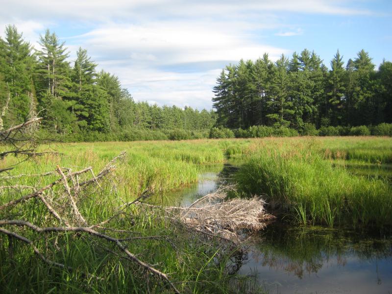
A thick, stagnant swamp
During the summer and fall of 2008 I ventured out on the swamps of Laird on five separate occasions trying to find a waterfall on the headwaters of West Branch Sturgeon River. I tried coming in from multiple directions, hoping to find a sign or trail, and found nothing except swarms of black flies. I also tried my best to follow the edge of the swamp as it narrowed, watching and listening for the smallest drop through the brush, using a topographic map to keep track of my advances.
One of the most frustrating things about this spot is just how established it is. A full USGS quadrangle is named Vista Falls, with a mark near its center for the waterfall itself. Why would a cartographer have marked and named a spot for the waterfall (especially since other nearby drops are neither marked or named), let alone the entire quadrangle?
A few weeks ago I ventured out again, armed with a GPS unit and a plan, and canvassed a wide swath of the swamp. I checked the headwaters proper as well as the mostly-dry tributaries off to the sides. There was no waterfall, though there were a few hints. Thanks to this most recent adventure I have a few theories on the elusive Vista Falls.

Main western entrance
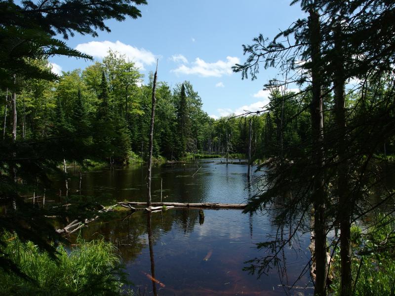
Dark swamp waters in the forest
Logging Dam
The first theory involves the old loggers that harvested the Upper Peninsula in the 19th century. Back then they used water to transport the lumber, damming up small streams and creeks through the winter to let loose a torrent of logs and spring melt to the mills on Lake Superior's shoreline. Maybe Vista Falls was not a natural waterfall but a splash dam, now several hundred years gone.
The position makes sense. The mark is located where a large swampy stretch of West Branch Sturgeon River comes to a head between tall earthen banks. If enough water was held, backfilling the entire swamp, there may be enough push to send logs all the way down to Chassell. And the trees near here once grew tall. I saw many huge trunks, as large as anything in the protected HMC lands, near the banks of the swamp. This may have once been the best way to access and pull out the large forests of Interior.
There are reasons to be skeptical. Other waterfalls, like Wylie Dam on Yellow Dog, were also splash dams at one point and are located on much larger rivers. Vista Falls is very far upstream, barely trickling for most of the year, and the run past Hogger Falls and West Branch Sturgeon Falls is narrow and shallow. Plus, the railroad tracks that run through Interior have been there for generations. With how flat the land is here it would have been much easier to use rail to haul the lumber out than slow-moving creeks.
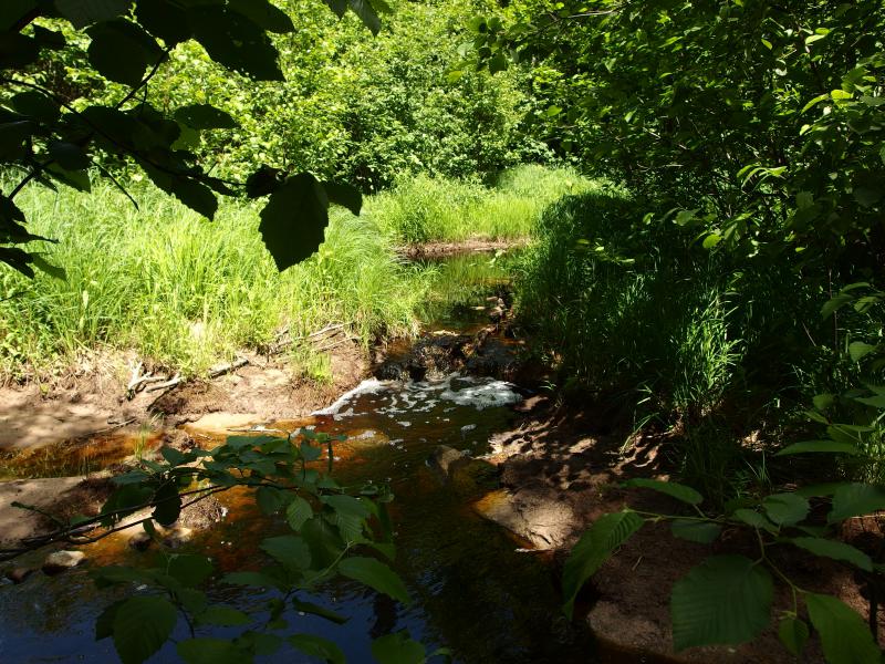
Waterfall of sand and clay
Buried by Beavers
The proliferation of beavers is relatively new to the Upper Peninsula. Yes, they've been up here for a while, but their impact on the environment has drastically increased. Forests once composed of massive trees too large for the most optimistic dams are now regularly harvested and replaced by young, tender growths. Recent logging near creeks easily turns quickly-flowing creeks into terraces of beaver pools.
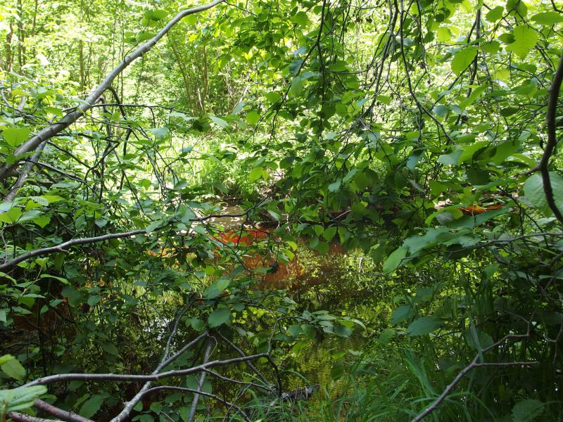
Brownish-red waters in the swamp
It's hard to say how much the land here has been changed by beavers. On many of my visits I only saw swamp and sandy ground, not a good base for a waterfall, though a few boulders showed up on my last visit. Perhaps there was a small drop and, after a few large beaver dams and busts, a collection of debris and mud just clogged everything up. It wouldn't be the first waterfall to slip off the maps (Trout Falls of Marquette).
A Cruel Joke
Of course, there is still a more cynical possibility. Vista Falls may not have ever been a waterfall, just a mistake passed on by mapmakers far beyond the original intent. Shoot, maybe it was even a logging camp, or a hunting camp, or a trapper's favorite spot. If it was a mistake, or even a very old joke, then they definitely got me.
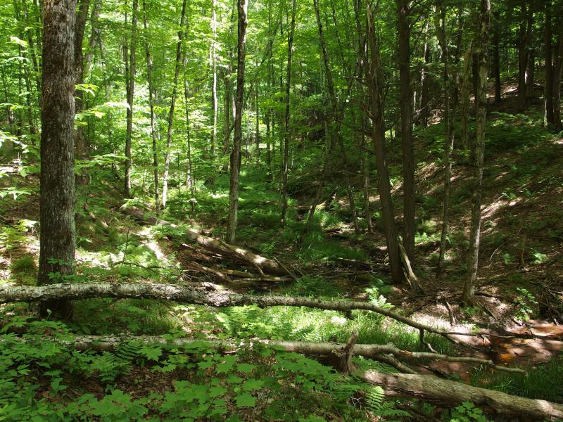
Cluttered little gorge to the river
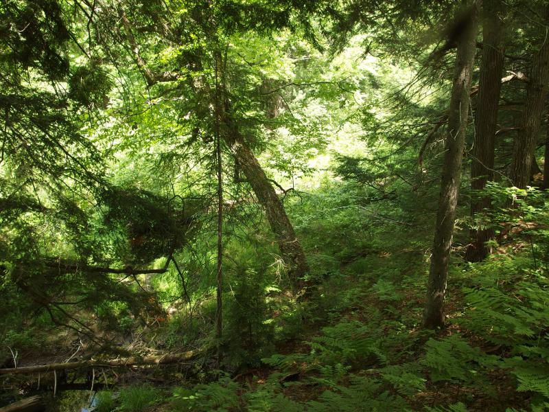
Almost-swamp
Even though there is no waterfall out there today (if there ever was one), the land around Vista Falls makes for a good visit. There are numerous beaver ponds surrounding the river, tiny trickles engorged by huge dams that eat away at the forest, as well as giant trees close to the swamp. Everything is fairly accessible too, with several forest roads running up through the Ottawa National Forest. The black flies are thick in those woods (though they seem to be thick just about everywhere this year). So while I can't recommend heading out to Laird for waterfall hunting, it isn't a bad place for a random wander.
-
s
Jul 29, '14
Please realize the old maps of the interiors of sections were made only to count types of trees or to find minerals. Go to the nearest town,find the oldest residents,look for the oldest trout fisherman in the area. Ask where his father or grandfather fished. People created their own trout holes simply by kicking large rocks in the stream and dropping large trees. You need to understand the nature of wild trout and that homesteaders and others needed to EAT them. Also remember logs were moved by setting up narrow gauge tracks for the Limey engines;no trace of these will be found.
-
Jacob Emerick
Jul 30, '14
Thanks s - that's an interesting point, that humans were just as eager to block up and change stream courses as beavers are. Easy to forget in today's eagerness for preservation, especially in regards to creeks and rivers.Dave - still find it funny how many ticks you got out this way. The cutter flies are always bad for me. I've never gotten more than a few ticks here, just got bit up by the flies. Otter Falls is where the ticks swarmed.
-
s
Jul 31, '14
As you saw in the recent blocking of a new road to the mine,the federal government is very enthusiastic about swamps. Check out new legislation that is trying to put every drainage ditch under federal control. After what has happened to water rights in other countries,where global corporations have been given control,all young people should be concerned about this "protection." Not that fond of swamps myself.
-
s
Aug 1, '14
You need to be aware that up to about 40 years ago,any boy who had a decent father up here was taught to hunt,trap and skin, and seriously fish. People put up trapping and hunting shelters wherever they wanted. My father into out property one spring and found a cabin built on the island by a trapper. Also there were legal homesteads very easy to establish. Also realize that snow measurements in the interior are unreleable but much heavier than town usually. The power of water moving rocks and trees that had created a falls is tremendous. Check out pictures of the blizzard of 1938 and you wil understand that streams and falls move. All you can really count on for stability are large rock outcroppings. As this was named Vista Falls,it may have been just a little rapids on high ground that looked out over a wide view.
-
Jacob Emerick
Aug 7, '14
That blizzard looks nuts. I know that this winter was bad, and have seen some fantastical photos of the drifts in town, but don't think we've ever seen anything like 1938 in recent years. And that could make sense, especially with logging - you could probably see quite a distance up the swamp from these banks with the way they used to clear-cut.
Add to this discussion