Red Hills and Needle Canyon
My topo map was an old one, dating back to the '80s. As I slowly walked along Cavalry Trail in the Superstitions I gazed over it. This trail headed southeast within a little valley for about a mile before turning sharp south over Red Hills and looping back west along Needle to Boulder Canyon. There was a dashed line for a trail along the whole route, promising an easy hike for my already tired legs. The entire detour was not as crazy as climbing Malapais or exploring Squaw Canyon though it did promise views of both.
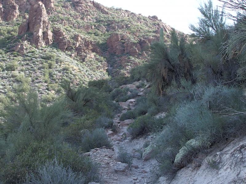
Brushy trees on Cavalry Trail
Climbing up Cavalry was surprisingly tough. My legs were sore and trembly from my hike along Battleship and an early pre-dawn start. The trail was hacked into the side of a chalky hill and had numerous boulders scattered along, keeping my attention focused lest I tripped and tumbled into the brush. As I climbed I wondered about the name of the trail and what it once was. Could this have been an old shortcut trail from the frontier days to cut off the longer La Barge Trail? Or maybe this was the scene of a bloody showdown. Whatever the history was there was no denying that it had been here for a long time, the rocky hill worn deep where loose boulders didn't try to cover it.
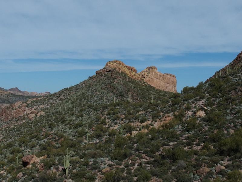
Looking back at the listing ship

Thick growth within the hot little canyon
The trail slowly curved around the hill and eventually hid my view of Battleship Mountain. It had looked fairly imposing from this side. The view from La Barge must be even more impressive. As that mountain fell behind my path ahead opened up into a lush, enclosed valley, hot as an oven and tight enough to block any breeze. This was going to be a long mile.
I could not see anything beyond the walls of the valley so I gazed around on my more immediate surroundings. The growth was green and thick, hiding much of the desert ground, though I did catch a few glimpses of cairns near the trail. Not your ordinary cairns, either. Most little trail markers in the desert were three or four little rocks piled up that helped guide hikers over flat stretches where footpaths get lost. These cairns were dozens of rocks stacked up to heights of three or four feet. This trail had to have a long history for so much attention paid to marking it out.
While I continued to wander around the narrow and winding footpath, wondering about the history of this section and if it had anything to do with the legends of Spanish gold, the valley began to open up. The left side dropped down and gave me a long, expansive view to the north. Malapais Mountain sat over there, surrounded by steep cliffs and crowned by a long and flat mesa. Climbing that thing is going to be a real challenge.
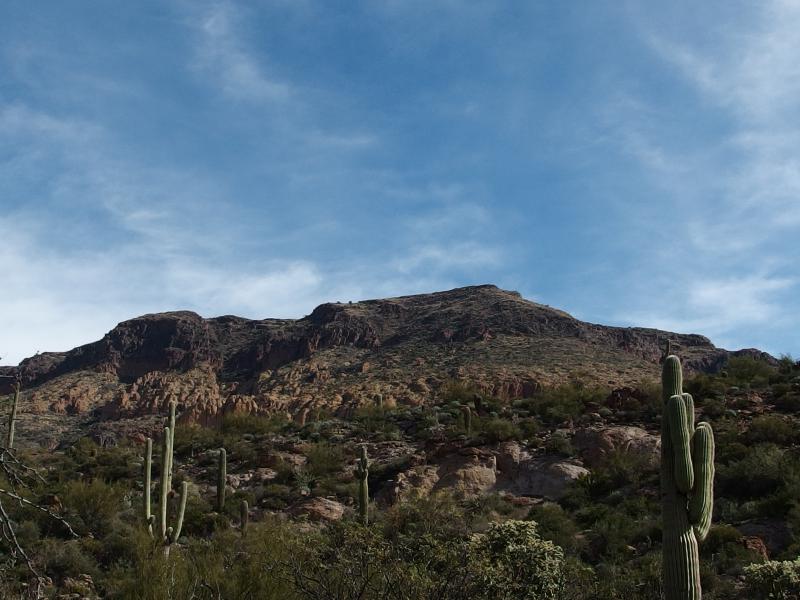
South side of Malapais
The trail continued east and slowly bent north. I was too entranced by the epic views northwards to care too much. Numerous deep cuts opened up, each one a possible route up that would take hours of hacking around steep canyons to find safe passage. This wasn't a mountain climb to take likely. There are no maintained routes up there, just a few informal trails, and none of them from this side. Which made me want to try a southern approach all the more.
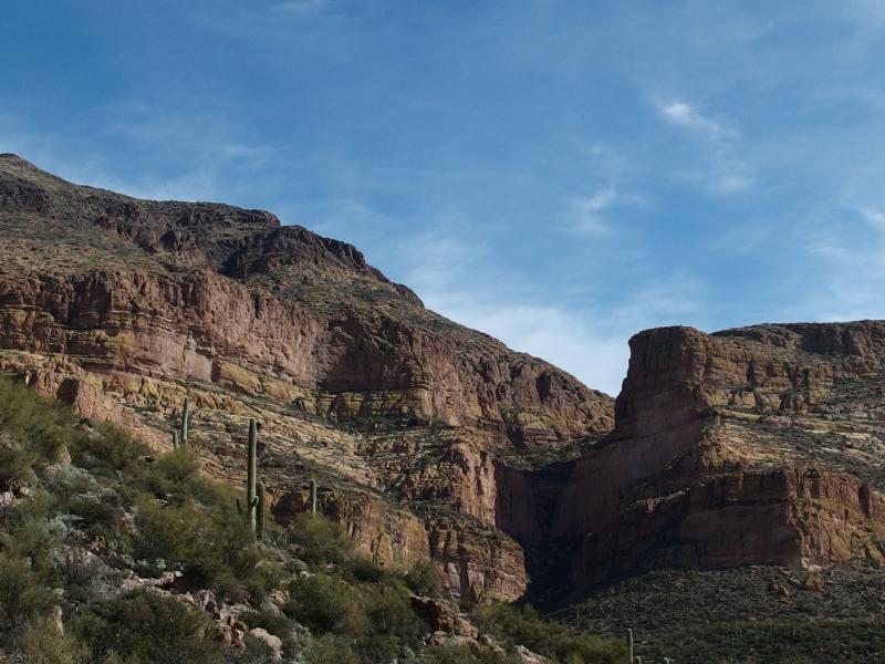
A narrow cut up
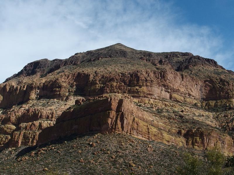
Stacked cliffs on the steep mountain
I finally stopped and faced a sad fact. This trail I was on, Cavalry, would not be turning south. It may have at one time, but it did not today. If I continued along it I would end up in La Barge and even further away from my planned return route down by Black Mesa. It was time to bushwhack up Red Hills. The giant cairns were still there, though they were hard to spot with the spring desert growth, and the tall hill to the south was hard to miss. All I had to do was stay to the right side of that hill and drop down to Needle Canyon on the far side. If there was still a trail up Needle Canyon, that is.
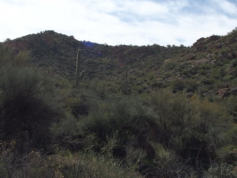
An unappealing path up Red Hills
Climbing up the thick hill was not easy or fun. The grade wasn't too steep even though it was very loose. I was forced to zig-zag around plenty of boulders and outcroppings, often having to choose between a slick gravel climb and pokey walls of brush. Dry blood made tracks out of my wounds from Battleship Mountain, and a few lucky pricks added new lines across battered arms. Everything in the desert hates hikers.
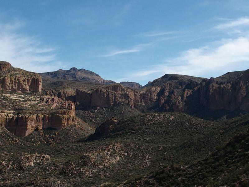
Looking towards Squaw Canyon
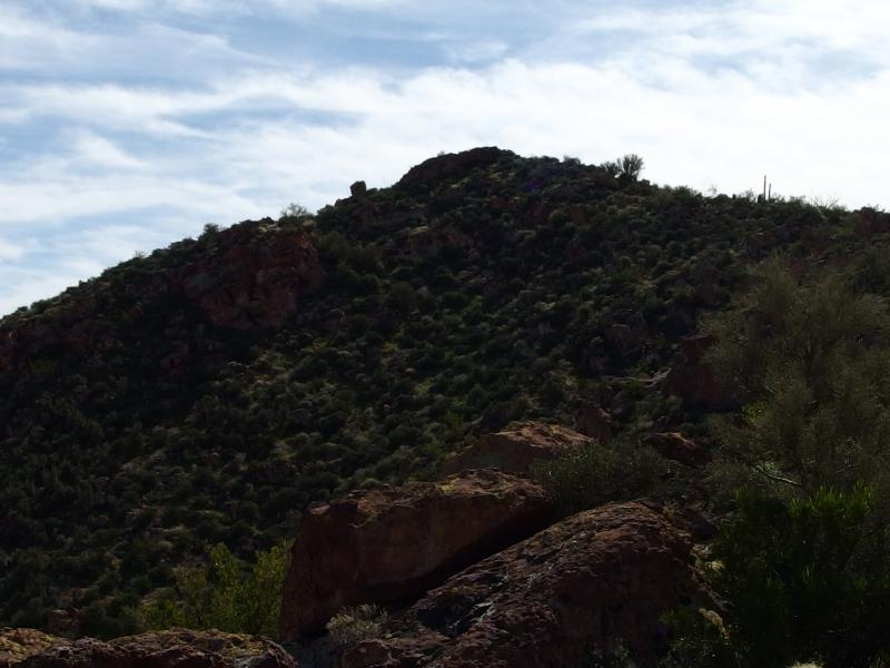
On the saddle of Red Hills
When I finally crested the little valley I turned and looked back, admiring the view up into Squaw Canyon and Tortilla Mountain beyond. That distant peak is a good 900' taller than Malapais, another challenge sitting out there. Maybe later this year. I turned about, looking at the meager peak of Red Hills at 2769' with the hot sun beating down on it, and then ventured a look south. I didn't like what I saw.
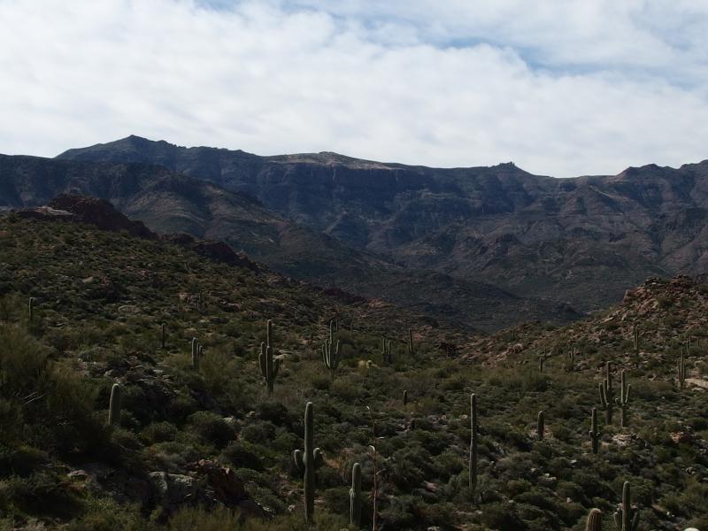
Steep cliffs to the west
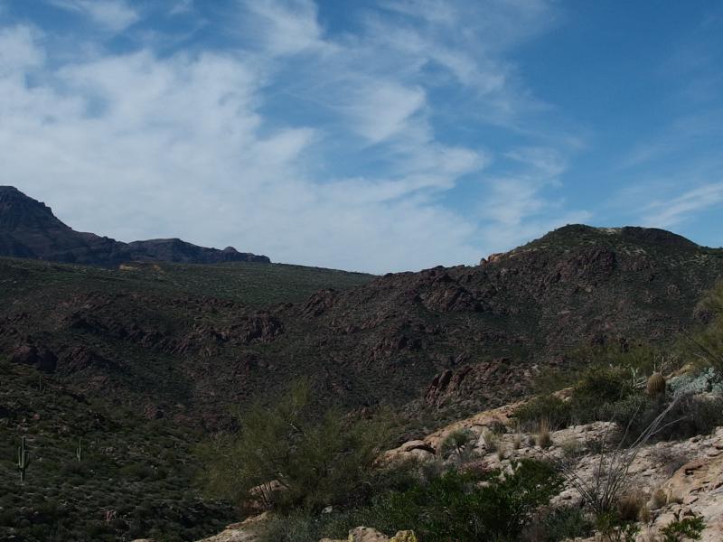
Yellow Peak and Black Mesa
There was some prettiness to see: the distant rise of Superstition Ridgeline, a slow rise of Black Top Mesa, and even Yellow Peak and Black Mesa to the west. But there was no trail or hint of Needle Canyon. I had a lot of bushwhacking to do, a descent of hundreds of feet through thick desert growth over a mile, and it didn't look easy. With a deep sigh I shrugged my gear on tighter and started down.
Thanks to repeat readings of the bear hunt story to Noah I got a earworm of a cadence stuck in my head. "We're going on a bear hunt/We're gonna catch a big one/What a beautiful day/We're not scared". In the book the little family has to get through a few obstacles: tall wavy grass, thick oozy mud, and a deep cold river. After I sang through the book's obstacles a few times I began to make up my own: steep crumbly walls, pricky pokey brush, and hard painful rock. Maybe when Noah is old enough to start bushwhacking with me on a few of these hikes we'll sing it together. If I had Noah with me, though, I think I would have researched the state of these trails a bit more before tackling them.

Tiny waterfalls within Needle Canyon
Needle Canyon snuck up on me with pools of brackish water separated with short drops over hard basalt. I bounded over to the southern bank for a bit of shade and rested. According to my map there was once a trail along the canyon that followed the winding creek downstream to Boulder Canyon. I was done with the lies of map. All I had to do was follow the water and I'd be back on maintained trails… And I'd still have to find my way back to the trailhead. One leg at a time.
Following the creek downstream turned out to be surprisingly tough. The banks were steep and overgrown with prickly stuff and the pools stretched wide across. There were sections that were completely dry that I could stroll along that would be broken with awkward bank-hugging spots that would cover me with scratches. There was plenty of cool things to check out along the way aside from the little waterfalls, like the spires of rock high up on the bank and an old mining claim painted on a wall, even though I was more interested in finding an easy path out by now.
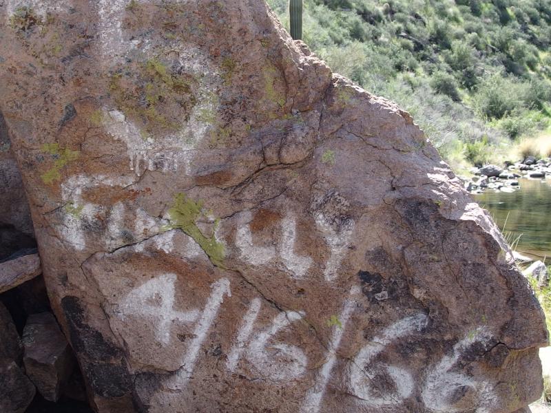
Surprising claim marker for Finally
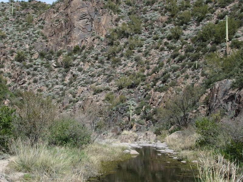
Murky pools of water sitting stagnant
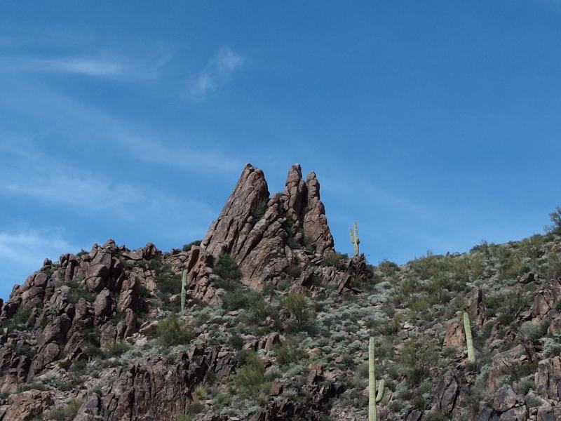
Sharp needles above
When I finally found Boulder Canyon and its trail I was a bit overjoyed. I stopped and checked over my gear. I had plenty of water left, always a bit stingy about such things, as well as a few trail snacks. My bag of dried mangos was only half gone so I chewed through them as I began to stretch my legs on the narrow footpath. It took me awhile to get a pace set after my broken walks through the desert brush, but when I did I really started moving. The day was hot, I was covered in sweat, and I was ready to get back to the car.
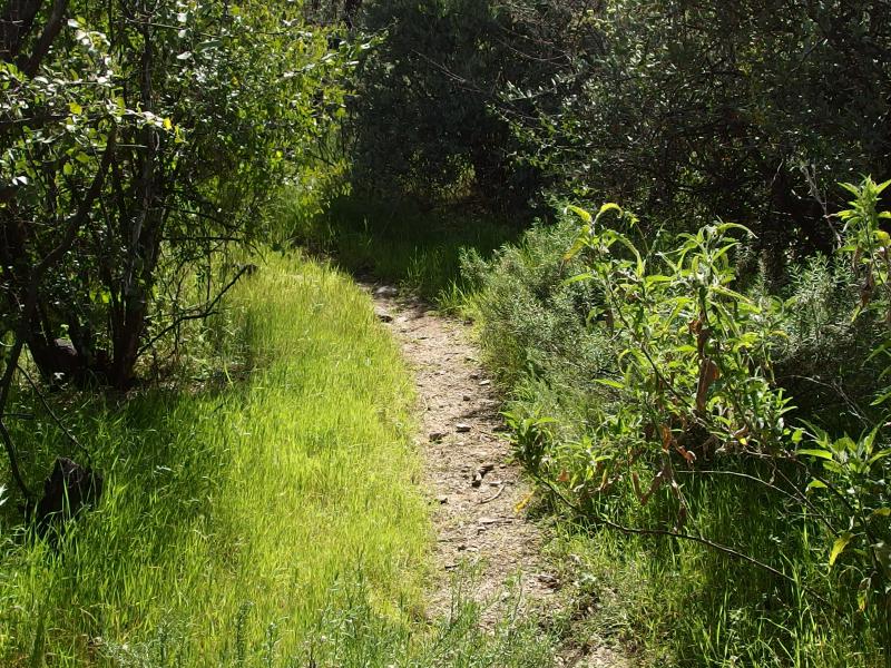
An easy footpath along Boulder Canyon
I had misjudged this end of Boulder Canyon, though. This far south and there was only two reasonable return routes. I could climb up Black Mesa once I got past Yellow Peak, an unappealing climb of 700' that would drop me back to Garden Valley where I'd have to wind around Second Water Trail to get back. This seemed like the shorter route. A more roundabout approach was to take Lost Dutchman south around Black Mesa for 600' climb over new terrain. I decided to try the latter.
Looking around for a sign to Black Mesa was fruitless. I passed the steep bluff of Black Top Mesa and sharp prow of Palomino Mountain and never saw the sign. I did eventually find a post for Lost Dutchman, though. I quickly veered west on it, leaving Boulder Canyon behind, and after a few hundred yards found the turn off for Black Mesa Trail. So they changed a few trails around since my map was printed - which makes sense, seeing as how I was reading a map some thirty years old. I shrugged it off and continued down Lost Dutchman.
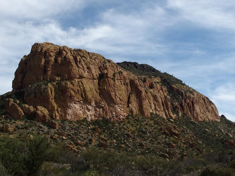
Rugged face of Black Top Mesa
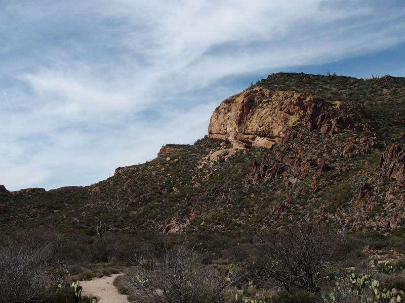
Steep end on Black Mesa
My legs were nice and beat by now, begrudging me of every step I took up the trail. I glanced a few times at the steep end of Black Mesa, the sharp yellow-hued cliffs with a few small caves underneath. On a different day I'd be tempted to wander over and check out those caves. Today I was only marching west. I drank deeply of my remaining water and passed by the cliffs.
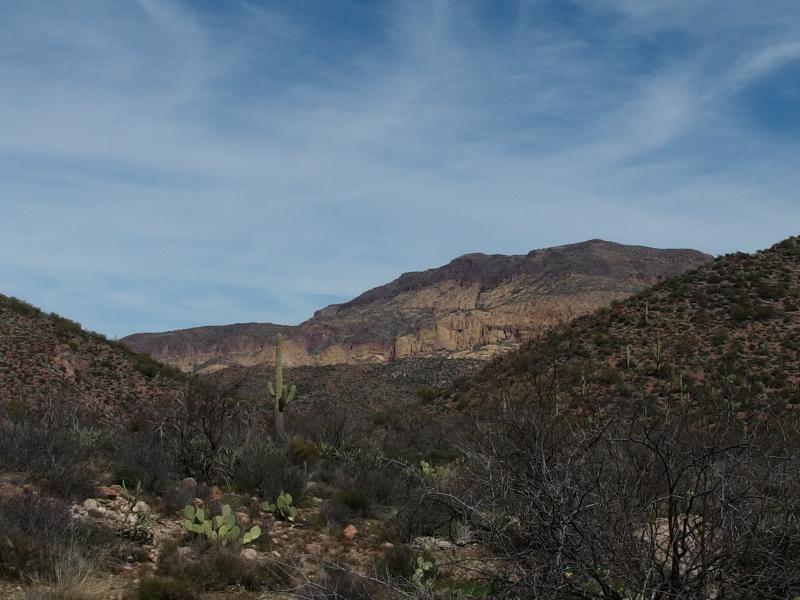
Last view back at Malapais
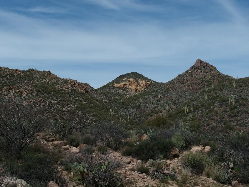
A sharp side of Yellow Peak
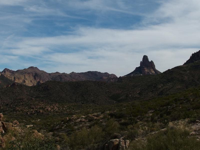
A hot view out east
When I reached a short respite along the path I bumped into a few small groups of hikers stopping for a rest. After a few greetings and exchanges I learned that this was Parker Pass, located a bit more than halfway between First Water Trailhead and Boulder Canyon. From here it was mostly downhill back to the lot. That sounded great to me. I took a few pictures, drinking up the view east, before leaving the pass behind. No more views of Malapais or Weaver's Needle for today.
The path bucked a little bit but mostly headed down hill, a wide gravel path that weaved through the vegetation. More and more hikers showed up, probably heading out to Parker Pass before turning around, though I did see a few heavy laden backpackers that would probably be out here for a few days. After a mostly quiet and lonely hike in the heart of the wilderness it was weird to see others, especially with fresh faces and energy left in their step.
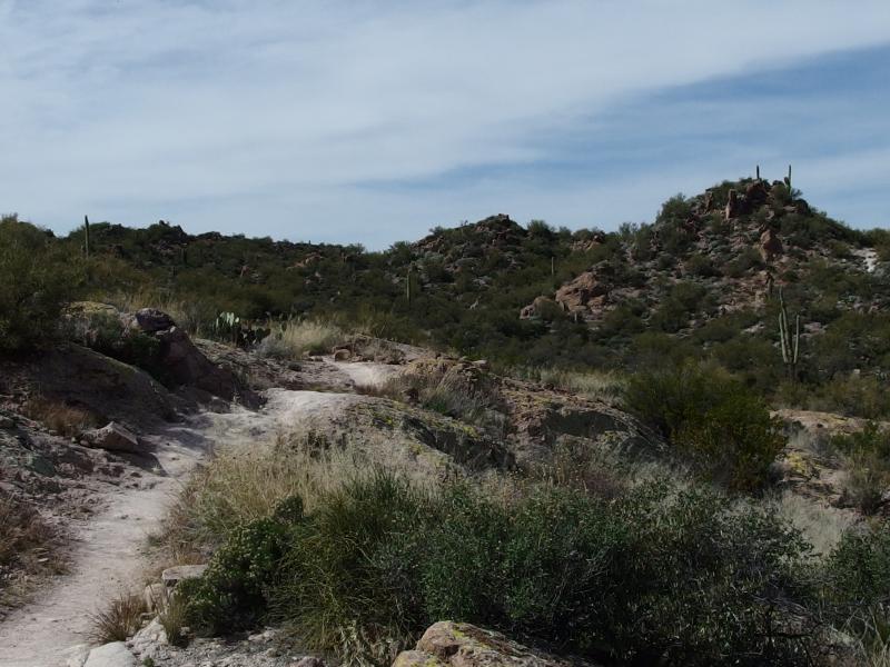
Slow and steady climb up to Parkers Pass
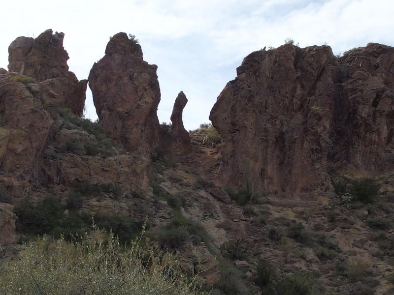
Tall sentinels along the trail
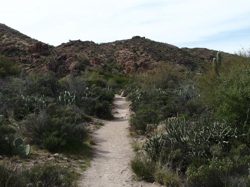
A few cacti along the path
For another two miles the trail headed northwest, along a busy little creek (First Water) and under interesting rock formations. I had little interest in them. Chances were good that I'd be taking Noah out this way for a quick hike and we could both enjoy the scenery then. I returned to the car with an empty pack, drank several warm bottles of water that were waiting for me, and started on the drive home. And unless Chris had strong feelings otherwise, I had no interest in returning to either the Red Hills or Needle Creek anytime soon.


Comments (0)