Hidden Valley of South Mountain
During the first two weeks of September my family spent some time in Phoenix, AZ. By now Katie and I had decided we would be moving down here before the end of the year, a decision I was hesitant about at best, and there were some things we needed to get figured out about the area. What neighborhood we wanted to move to, which house would we be renting, and, most important, how the desert hiking was.
There were a few destinations on my list already. Chris (brother-in-law) wanted to climb Camelback and we had been discussing the pros and cons of the Cholla Trail approach. My attention had been slowly sweeping over towards to the Superstition Wilderness east of Phoenix. However, I was pleasantly surprised when, on the first night in town, one of Katie's cousins suggested that we try out a section of the Mormon Trail. It's a relatively easy hike, less than 1,000 elevation gain over 3.5 miles, and it seemed like a good warm-up for our stay.
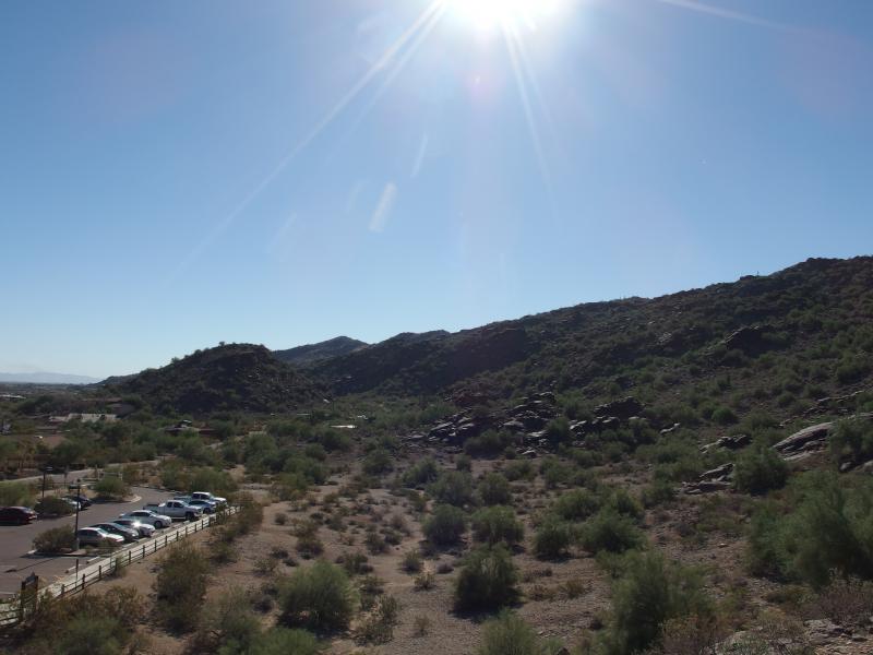
The three of us met after sunrise at the 24th Street trailhead. Kirsty, Katie's cousin, lives right in Chandler and frequently visits this area. South Mountain sits just south of Tempe/Phoenix and has plenty of visitors taking advantage of its easy access. The trailhead was already full at this early hour and we were forced to park a quarter mile down the road.
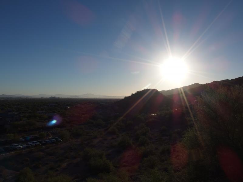
Bright morning sun over the parking lot
The heat started early today. We were all in gym shorts and t-shirts and tennis shoes (though Kirsty was wearing Vibrams, a bold choice). The trail climbed quickly from the lot, a few switchbacks doing little to ease our passage. Unused to the hot air I had a tough time going, though we paused enough times on our way up to keep from running out of breath.
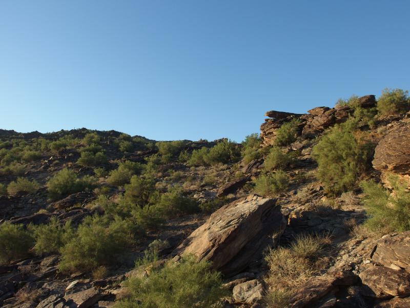
Dusty rocks lit by morning light
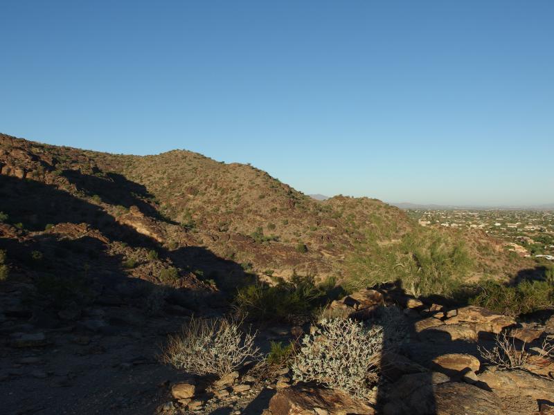
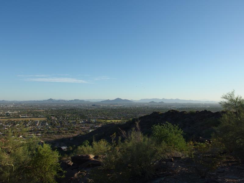
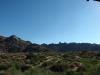
Long view west from the Morman trail
As we headed up a few random chats were thrown around about this area. South Mountain is large, some ten miles from east to west, with a few named peaks on it. Mormon Trail is about a mile long and comes in from the north, a direct route in near the middle of the ridge. From this trail you can access many other areas, including Hidden Valley and the National Trail. We were aiming for Hidden Valley today to make our small lasso on the tip of Mormon Loop.
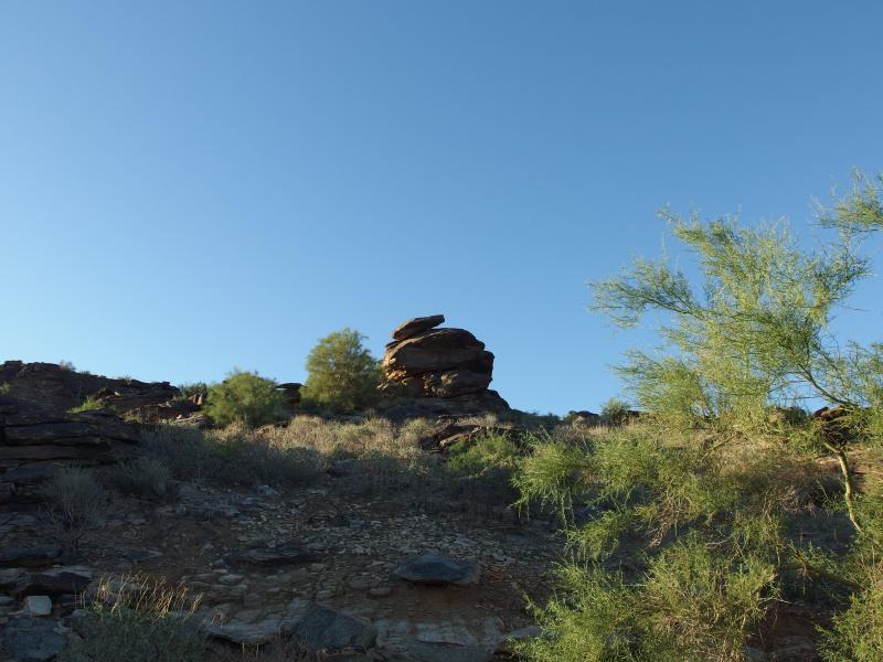
Piles of rock ahead
We continued up the hill, passing some groups and being passed by others. It wasn't terribly busy, especially compared to something like Camelback, which can feel like a mall strip sometimes with the crowds. We sipped on water, chatted, and slowly made our way to the small crest some six hundred feet above the city.
Hazy view of Camelback Mountain
Camelback was easily the most prominent feature, the three humps sticking out of the city haze. The Phoenix Mountain Preserve with Piestewa Peak poked up beyond, looking much smaller with the greater distance. Beyond that was McDowell Range. For being a city located in the Valley of the Sun there sure are a lot of mountains scattered in it.
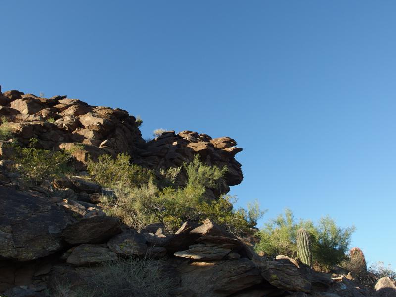
Overhanging piles of rock
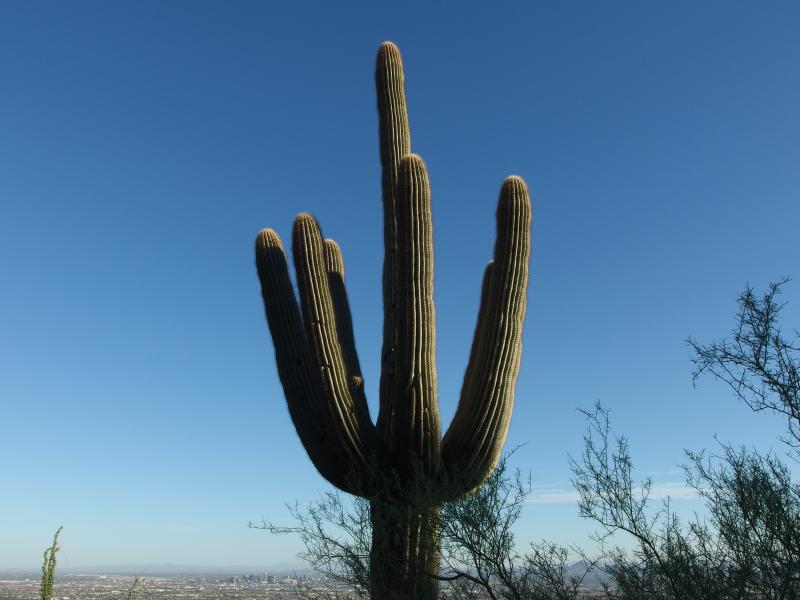
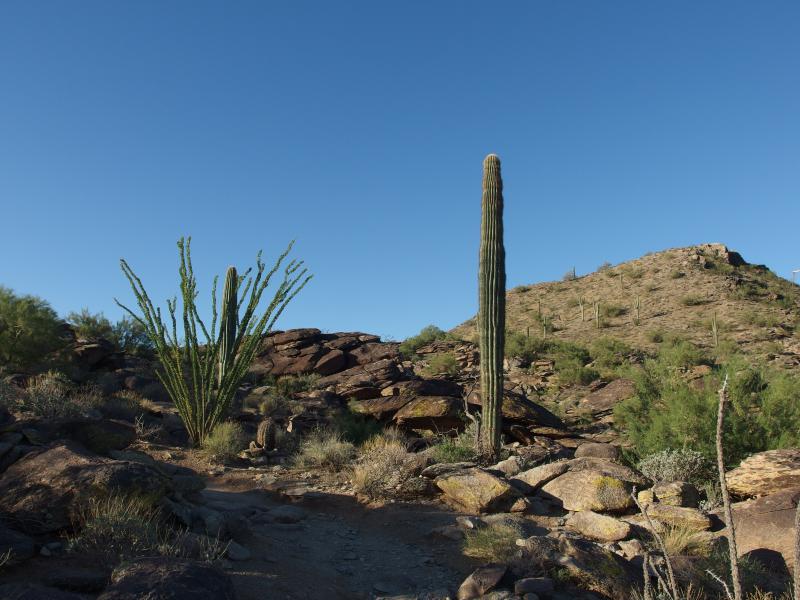
Spidery saguaro
After a brief respite our climb continued up. We weren't quite at the flat stretch yet, though most of the elevation change was behind us. I asked a lot about the desert plants. The only one I recognized was the tall saguaros that towered above us, and maybe the barrels with their curved hooks. Kirsty didn't know many names either. I'm going to have to get better at desert flora.
Flat ground on the trail
Collection of different cacti on the trail
Before we knew it we were in a flat sandy stretch of land. Baked by the sun above and the heat below it was still a refreshing change from the uphill grade. Hidden Valley is beyond the small rise ahead, meaning we still had a bit to climb. The traffic seemed to pick up here a bit, maybe from people lingering on the flats before tackling the slopes above or behind. As we strolled north a chilling noise straight from the movies struck out at us.
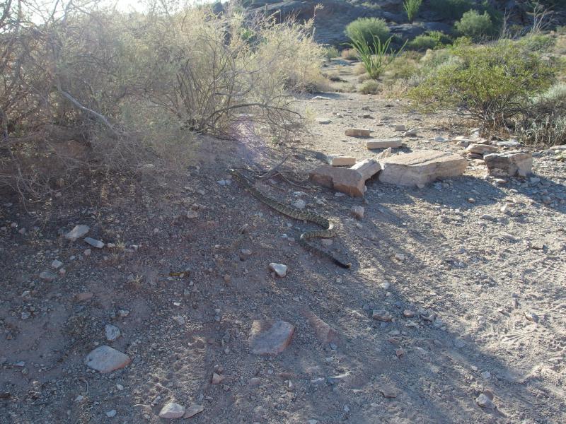
Shy rattlesnake
I barely had time to get my camera out before the rattlesnake zipped across the path and disappeared under a bush. Was not going to chase it under there. The thought of venomous snakes is still a new one to me, not even sure what to do in case of a bite. Eh, the little guy seemed pretty scared of us anyways. We continued on, warning the next few hikers of the hiding snake.
Kirsty decided to do the Hidden Valley Loop in reverse, to keep the sun on our backs, so we headed left first and meandered through some more flat. Then the rocks showed up. They were large and solid and ate up our footpath into oblivion. I was in the lead now and guessed the way across the solid bedrock, glancing back a few times to confirm that we were on the right way. When the a crack opened up below we dropped down and entered a loose cave area. The walls gleamed from the oils of countless past hikers.
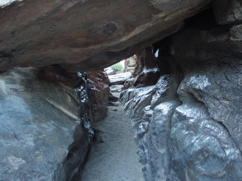
Tight, greasy squeeze between rocks
Once we exited the cave we came upon a different land. No other hikers were out here on this leg, no National Trail bikers zipping along or anything. Also, the sounds of the city were gone. Protected by valley we meandered west, enjoying the quiet and views of the little canyon.
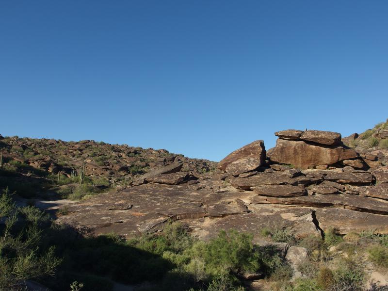
Stacks of bare rocks along the path
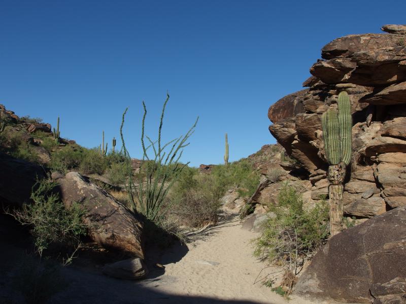
Sandy stretch inside of Hidden Valley
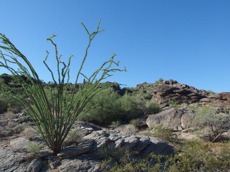
Scraggly ocotillo
Too soon we came upon the far end of the valley. The walls closed up in front of us, leaving only a narrow gap to squeeze through - Fat Man's Pass. I had to take off my pack to squeeze through the narrow thing, barely enough room for my chest to get through. There was a tougher way up and around the pass for those unwilling to try the squeeze.
Now back out of the valley we met back up with the National Trail. Traffic began to surround us again, mountain bikers and other hiking groups heading in either direction. Before we headed back down to the lot there was a tempting side destination, a quick little peak near the crest of Mormon Trail, that we just had to scramble up.
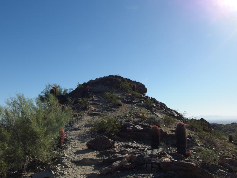
One last climb up
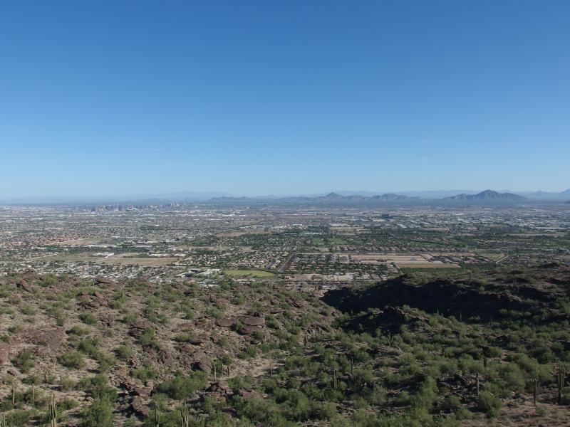
Phoenix and Tempe stretching out below
The morning haze was starting to burn off a bit, giving us a clearer view of downtown Phoenix. The taller buildings seemed so tiny with Camelback sitting to the east. And everywhere was residential stretches; winding streets, tiled roofs, and green trees unnatural to the desert. With one last look around we descended.
As we walked we chatted about the next hikes. Both Chris and I were thankful that Kirsty took us out today to this peak, though we were also interested in what was next. The Cholla Trail up Camelback was definitely coming up, and maybe Piestewa Peak. Kirsty wasn't sure if she wanted to start too early (Chris and I were talking about starting before sunrise to beat the heat). Eh, we'd figure it out somehow.
Back on 24th street trailhead
We made it back and headed our separate ways. It was nice to have visited South Mountain. There's a lot here, though there isn't much solitude or difficulty compared to other spots. For that I think I'll have to head over to the Superstitions. It is tempting to canvas South Mountain, though, track down every last trail in a sort of completionist game. With the relatively small elevation changes it wouldn't even take too long to do.

-
Jacob Emerick
Nov 20, '14
It's only a matter of time before I get a bite...
Add to this discussion