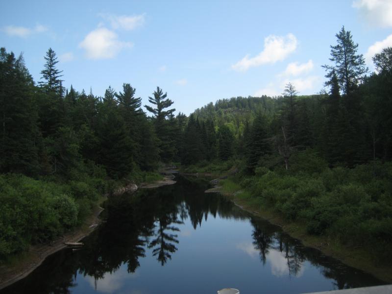
Clark Creek and Island Lake
Due to the rugged nature of the Peshekee Highlands, the Dead River's upper reaches are quite unique. From its headwaters in the McCormick Tract, it drops over 400 feet before reaching Silver Lake Basin, the first of five reservoirs along the Dead River. The surrounding land doesn't drop as quickly as the river on its route to Lake Superior, with the deep river valley surrounded by soaring cliffs and towering hills. There are two interesting tributaries flowing from the north that drop several hundred feet before joining with the Dead River: Mulligan Creek and Clark Creek. On a hot, humid day in July of 2009, I decided to visit the Clark Creek area to hike along the creek and its wide, deep valley near the Dead River Basin.
Clark Creek near the Dead River Basin
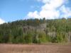
I took a long, but personal favorite, route out of Ishpeming along Deer Lake Road. This road is really curvy and busted up, but it offers amazing views of Deer Lake Basin and the wilderness surrounding the Dead River Basin. Unfortunately, I did get stuck behind a logging truck on its route to Mulligan Plains, making the trip about twice as long as normal. Turning on Red Road after crossing the Dead River, I was amazed by the soaring cliffs to the north. Sheer rock walls over 300 feet high with old growth pines on top facing a large basin seemed like an excellent visit for the future, especially as the Cliffs of the Keweenaw are only around 200 feet and offer limited views of small, rolling hills to the south.
Deciding to take a direct route off of Red Road after crossing Clark Creek took me on a slightly questionable road, but I soon found myself exactly where I wanted to be - near the apex of the sandy valley. The vegetation was very similar to Yellow Dog Plains; large fern-covered plains and managed forests of pine trees. The road followed the western edge of the valley, so the last mile or so was very windy with a deciduous canopy typical of Huron Mountain roads.
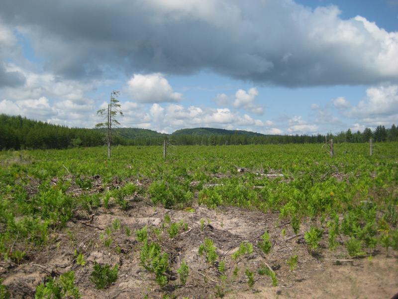
A sandy, fern-covered clearing
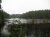
Parking the car on an old logging road, Logan and I started hiking up a steep pinnacle that I had picked from its topographic prominence. The woods were quite buggy, as it had rained that morning, but were also free of heavy underbrush. We reached the top with little difficulty and were awarded with a nice view of swamps and pine trees to the south.
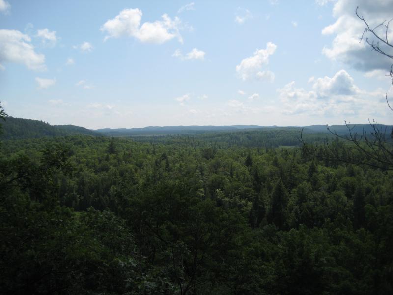
Southern view of Clark Creek Valley
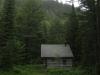
Heading down the pinnacle to the north, we rejoined the road near a cabin and were surprised to see the owner driving out to meet us. I didn't think we had trespassed on private property, but I still prepared myself for a scolding. Instead, the owner seemed happy to see us, and we ended up having a good twenty minute discussion on local lore. He gave me a bit of direction and offered a beer on our return if he got back from Marquette by then. Unfortunately, I didn't end up stopping back at his cabin, but his directions led me to Island Lake, a beautiful lake perched 1726 feet above sea level and 350 feet above the surrounding plains.
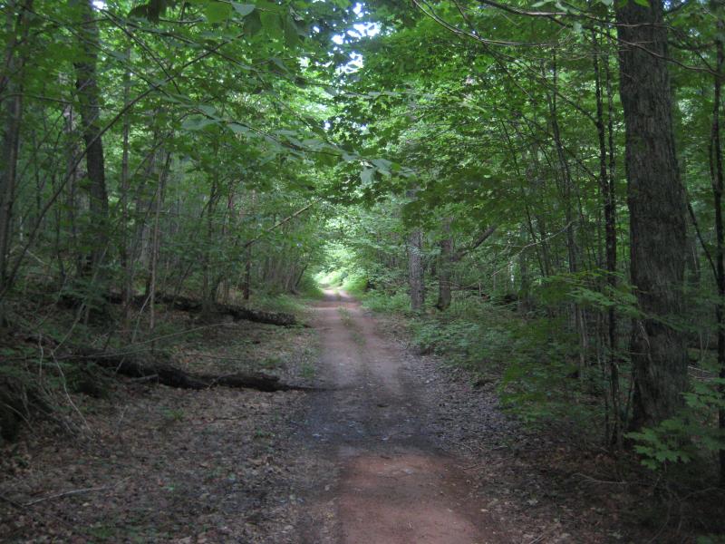
Trail leading past the cabin
Heading further up the road, which turned into a four wheeler trail a short distance from the cabin, was an easy and peaceful alternative to the planned hike, which involved several miles of bushwhacking through rocky, swampy highlands. According to the man I talked to, this trail would lead me directly to Island Lake. There was a slight detour along the route (the main road was gated, but a side track looped around and rejoined about a half mile later), but most of the trip was a rutted, hilly, and well-defined trail. I did head back down to the creek at several points to check out some small waterfalls and an interesting swamp, but the undergrowth and rutted terrain discouraged such treks.
It took Logan and me about an hour to reach a small campsite on the shore of Island Lake. The lake was very pretty, with a few small ripples on the surface and a small island on the far shore. Most of the shoreline looked shallow and weedy, but our shoreline offered a few rocky outcroppings above the waterline. I sat and enjoyed the cool breeze after the humid, enclosed trail while Logan sniffed out the campsite.
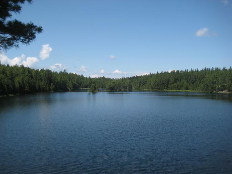
Island Lake
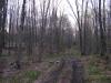
Even though we gained 250 feet from our start in Clark Creek Valley, the way back to the car didn't seem to be any easier. The trail had plenty of small, windy hills along the route which seemed to hide the downhill grade. I made it back to the car after another stop at the boggy Clark Creek about three hours after the start of the hike.
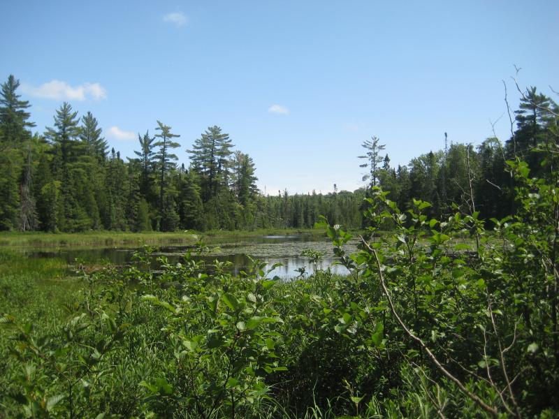
Swampy section of Clark Creek
This was only the first of several hikes during the day, so we headed out of the valley to the east, meeting Country Road 510 on our way north. Though our hike took an unexpected direction, I was pretty happy that we visited Island Lake. I would recommend this hike to anyone willing to walk about seven miles, especially as the drive was suitable for most cars and the hike didn't involve any bushwhacking.
-
Jacob Emerick
Jul 5, '15
Hi Doug - thanks for stopping by! Did you end up having a good weekend on the McCormick? And yes, I'd be very interested in his story - whereabouts is the cabin located? The cabin mentioned in this story was much more modern, if I recall correctly... Bright finish,, large windows, etc.
Add to this discussion