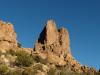
Battleship Mountain and Yellow Peak
Anticipation grew as we zipped along the old Apache Trail northeast of Phoenix. For the last few months Chris and I had hiked around the city and slowly started to venture into the Superstition Wilderness. So far we had only tackled the very westernmost sections of the wilderness, climbing up Flatiron and walking the length of the Ridgeline. Now it was time to go deeper, time to head further east into the wild lands.
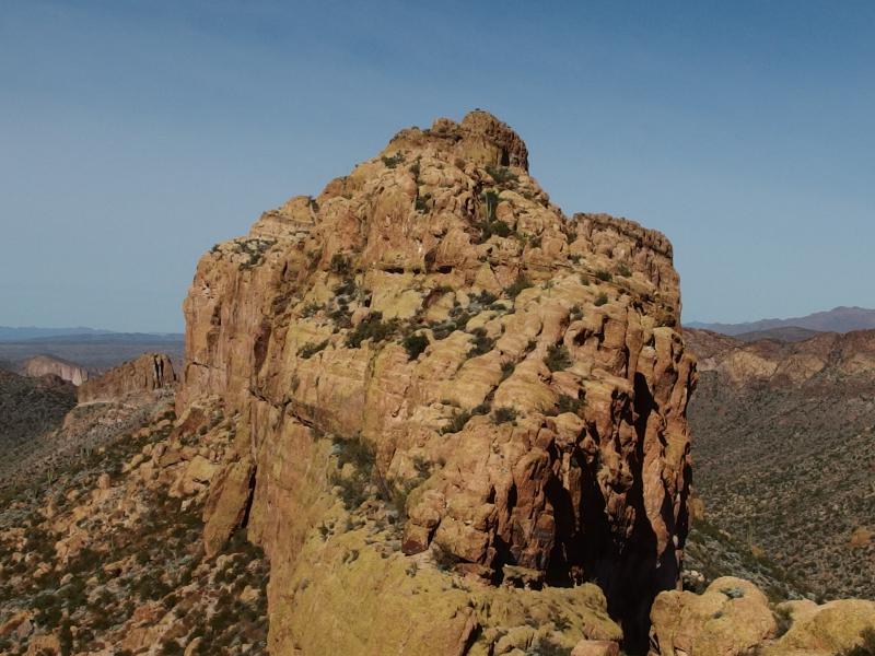
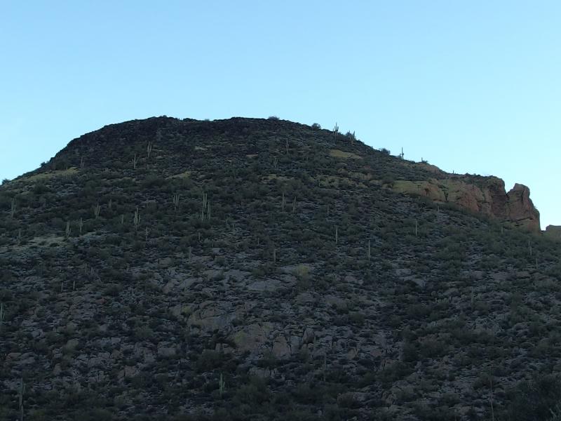
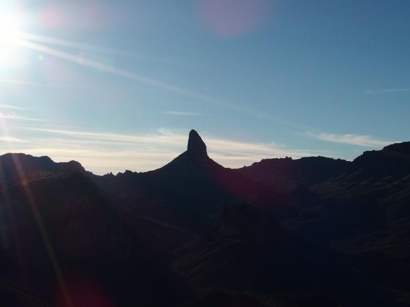
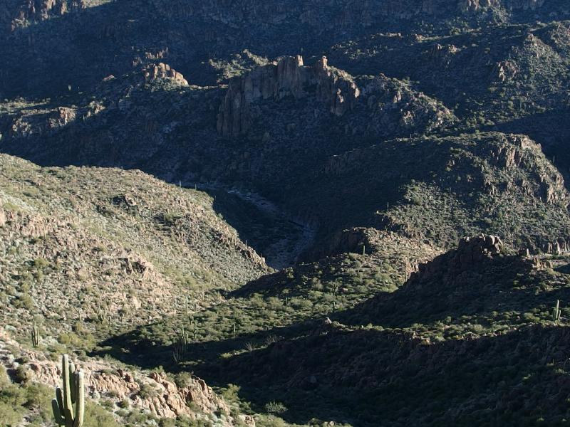
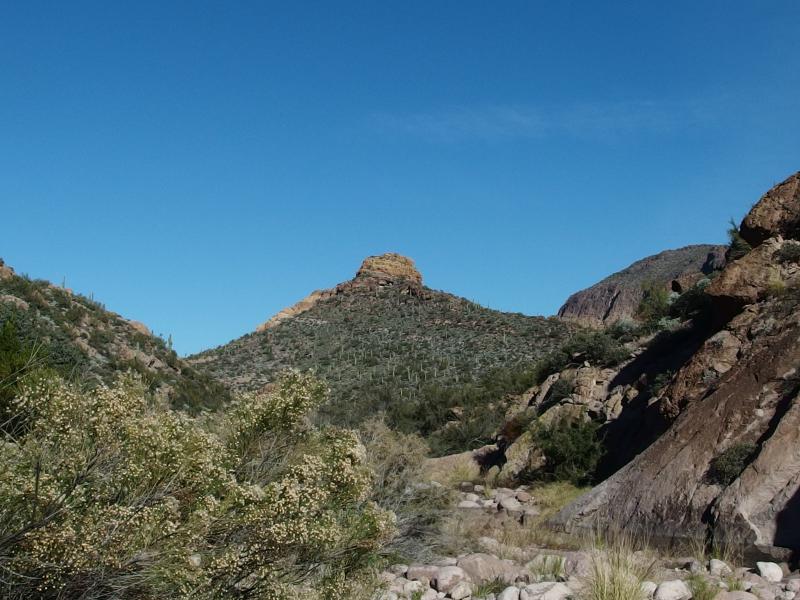
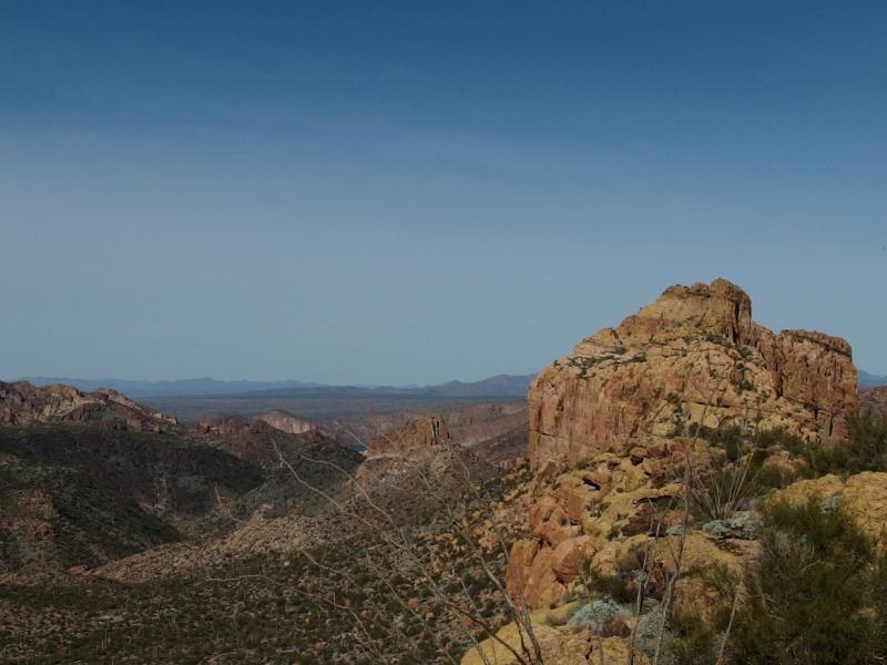
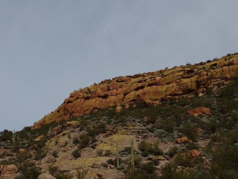
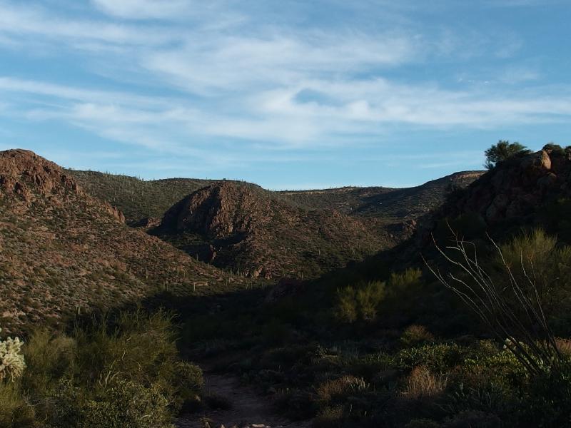
Humbling climb ahead
For today's hike I had something special planned. Chris had picked out Battleship Mountain as a good destination, a sharp and dangerous ridge located several miles from any trailhead. The most common way to reach this ridge was from First Water Trailhead and across Garden Valley. I threw something else in the mix to make a nice loop - a walk across Black Mesa up and over Yellow Peak. Not only would this add a few miles to the hike and make for a nice loop (which I always prefer over an out-and-back), but it would give us some nice views south towards Weaver's Needle and the Ridgeline.
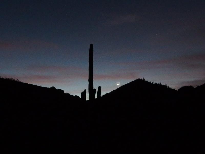
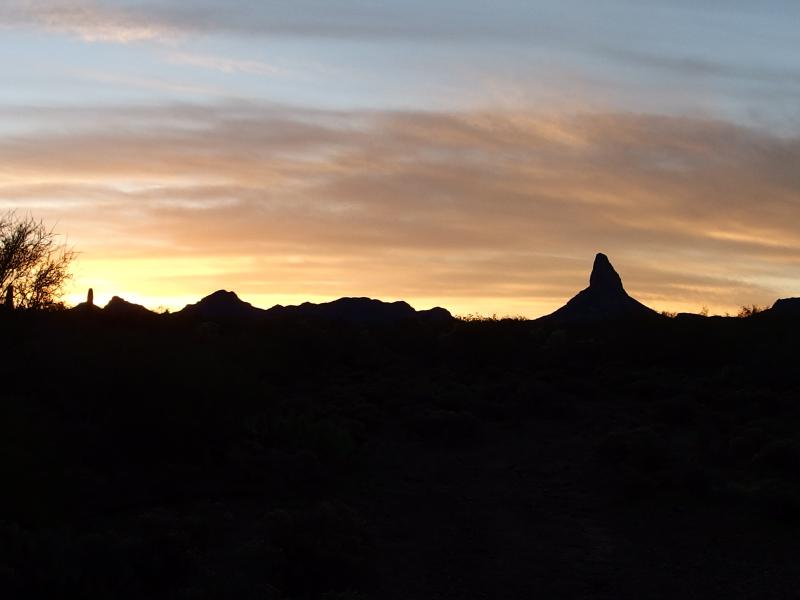
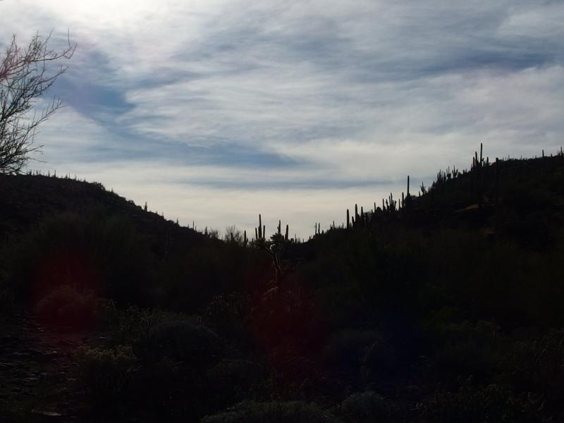
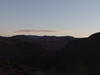
We pulled up to the trailhead after five. Hiking in the predawn was something we had both become accustomed to. It's not that tough when you're following trails and it lessens the time stuck in the afternoon sun, a sun that can be hot and draining even during winter. We took our gear and wasted little time hustling down the trail, not stopping until we reached Garden Valley some two miles in.
Dim morning light from the trailhead
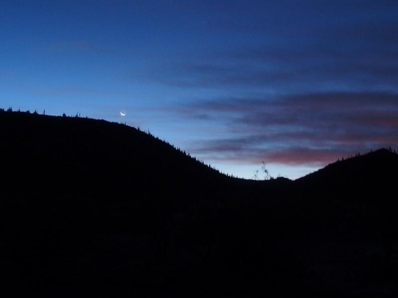
There hadn't been much to see along the way beyond the light of our headlamps. The sky was dark with a dim crescent moon hanging low and the few rocky hills near the trail were humble silhouettes. I had to hunt around a bit before finding a large tree to stash some gear under - we would be back this way, so I left a few bottles of water and my jacket - and then we turned east and looked for the trail to Black Mesa. The dark morning light hid any sign of the cutoff trail.
Unwilling to wait the hour for the sun we pressed southeast towards a dip in the distant hill. The vegetation in Garden Valley was thick and thorny and clawed at us with sharp fingers. Most of it was Palo Verde trees, green-skinned things that seem stunted and bushy compared to Midwestern forests, though there was a fair share of jumping cholla to spice things up. Eventually we did bump into the trail again, a haven from the thick desert brush, and stopped briefly to pull a few stray needles out from socks and skin.
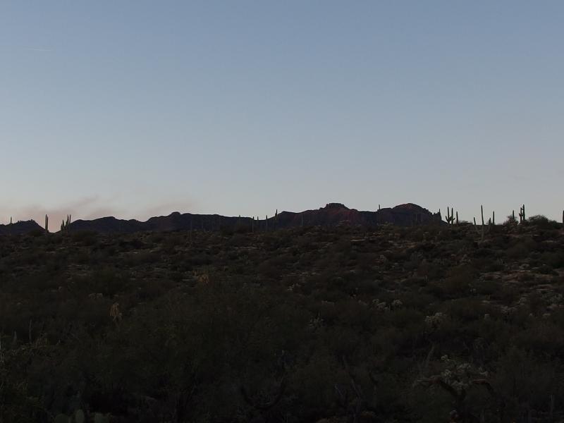
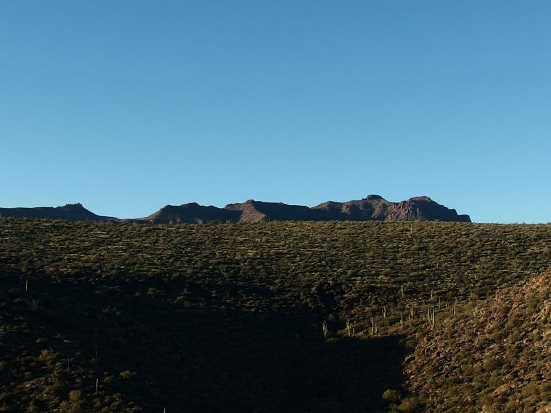
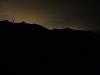
Waking lights over Black Mesa
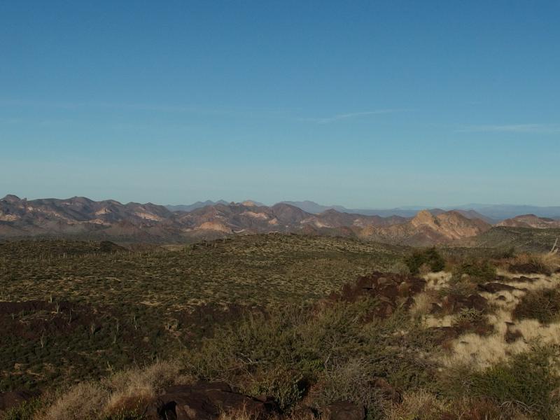
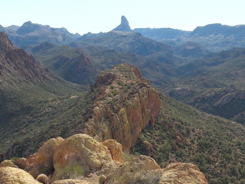
The climb up Black Mesa was gradual and easy, a few hundred feet at most. When things began to level out we stopped for a quick bite to eat. The sun was start to peak over the eastern horizon, a somewhat welcome sight, and there was plenty of views beginning to open up. Over to the south the Ridgeline dominated with a tall and jagged line blocking us from the hustle of Phoenix beyond. Southeast, with a slowly pinkening sky, was Weaver's Needle. It was our first good view of the thing and it was pretty darn impressive.
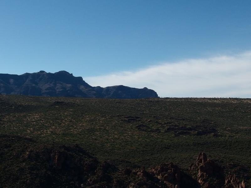
Distant ridgeline of Superstitions in the west
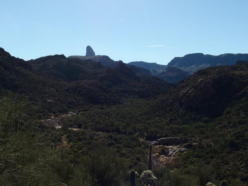
Tall spike of Weavers Needle against a morning sky
Weaver's Needle was a very distracting view. From our hikes up on the western ridges we had only looked down on it and the sharp rock had blended in with the surrounded formations. Now we looked up at the needle and the needle stood proud. It rises a thousand feet in sharp prominence, the top half a verticle shaft that only experienced climbers dare. Well, experienced climbers and stupid hikers like Chris and I. We would be out that way soon enough.
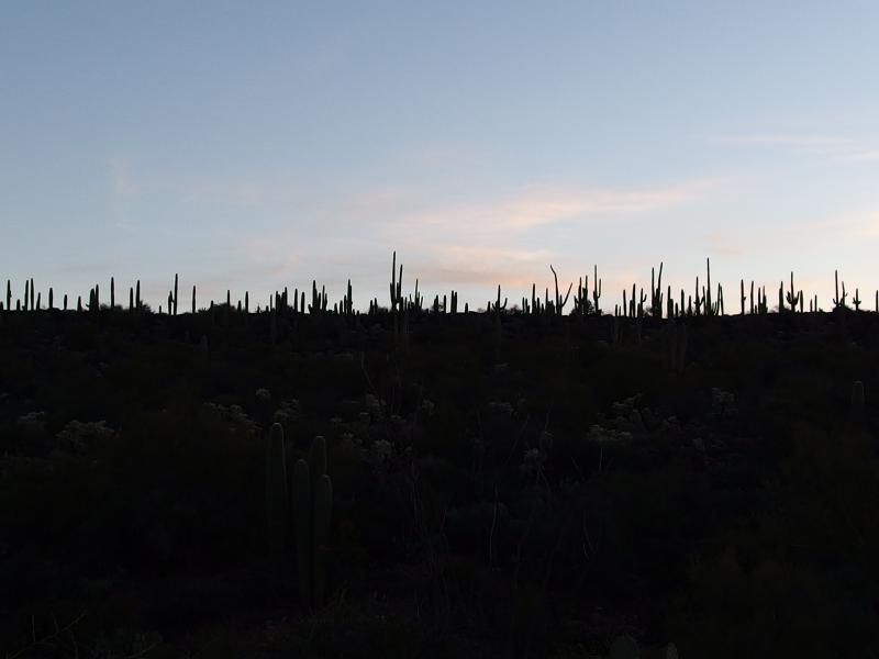
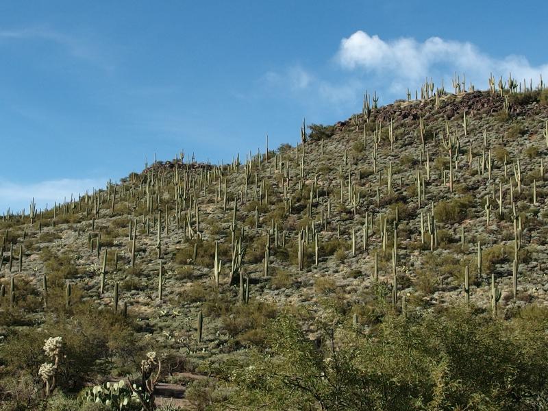
Thick forest of saguaro above the desert
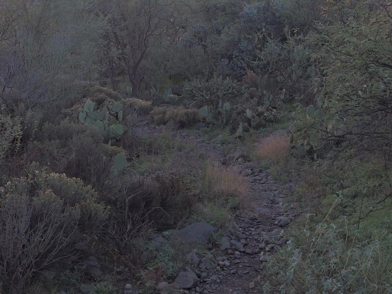
A narrow, rocky trail
Black Mesa stretched to either side of us with a forest of saguaro. I expected a bit less cactus out here, thinking that the mesa may have been a grazing area at one time. Maybe cattle just eat around the saguaro and leave them like the overgrown picker weeds of Michigan. Oh well. We continued down a narrow and rocky trail.
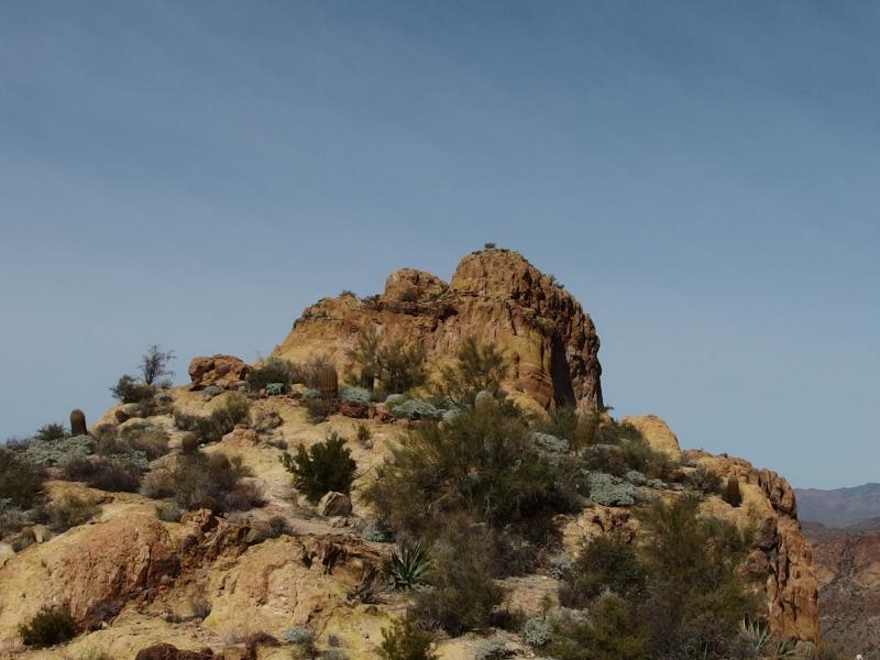
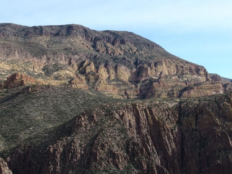
On the east side of Black Mesa, separated by a small and unnamed wash, lies Yellow Peak. Our trail makes an annoying cut south to avoid the peak before meeting up with Boulder Canyon. By climbing up Yellow Peak we would cut a solid mile or two of trail… And add 400' of climb and 900' of drop through overgrown desert. After our earlier wander around Garden Valley I had some doubts about our planned route.
Sudden climb on Yellow Peak
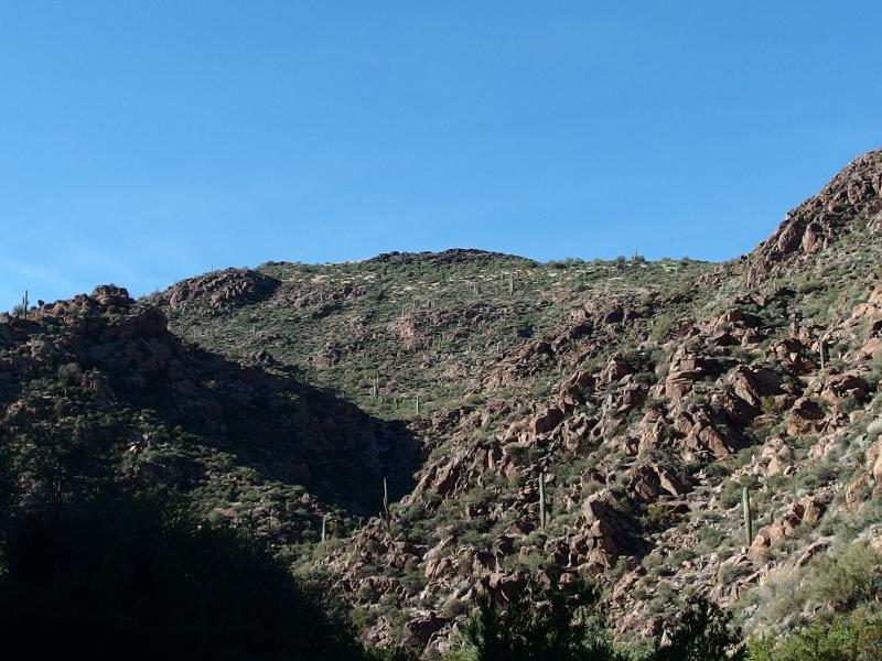
My doubts disappeared once I saw the low rise of the mountain. It didn't seem too tough, with plenty of open sections of rock separated by interweaving lines of green. We cut off the trail into the scattered puddles of the nearby wash and began a slow and careful climb.
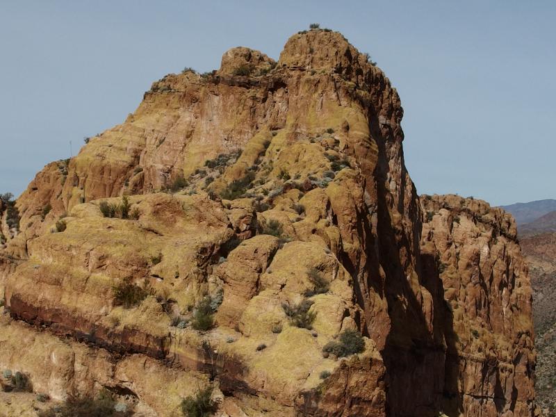
The rock on Yellow Peak was crumbly, giving way more like gravel than rock in some areas. Every handhold had to be tested, every foothold weighed, and there was plenty of surprise cacti to work around on the climb. As we climbed we heard the distant voices of other hikers come up from the trail, probably some backpackers on a multi-day trip, and we wondered if they were laughing at us silly hikers creeping up the unsteady mountain. It took us well over thirty minutes to scale the low hill and get a good look around.
Sunlight over Black Mesa
Bright sun shining down on Weavers Needle
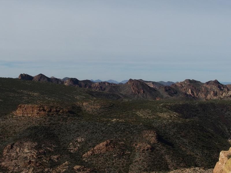
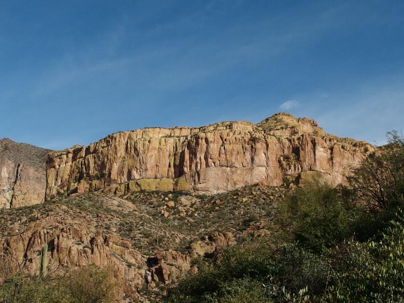
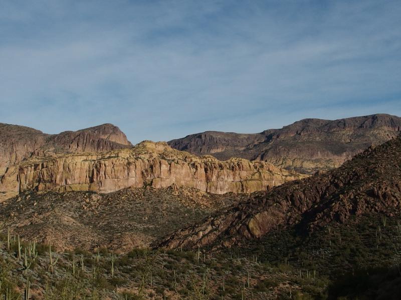
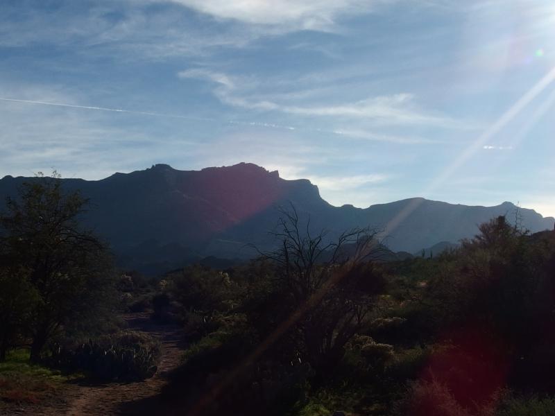
Our view from the top was well worth the climb. Over the last piece of the trail on Black Mesa we had been blocked from seeing the Ridgeline. Now it showed up in the rising sun, the long swoops and tall peaks sharply outlined. North Peak in particular caught my eye, as it was so obviously a highpoint from this view. From Phoenix it is hard to tell which peak is which along the ridge. Of course, Weaver's Needle was the main feature to the south, the sudden spire dark under the morning sun.
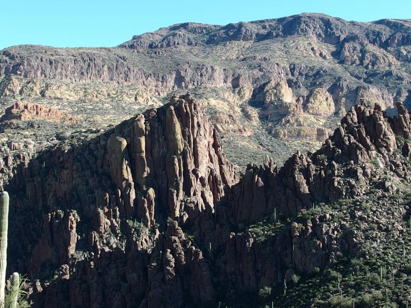
Towering bulk of Malapais Mountain
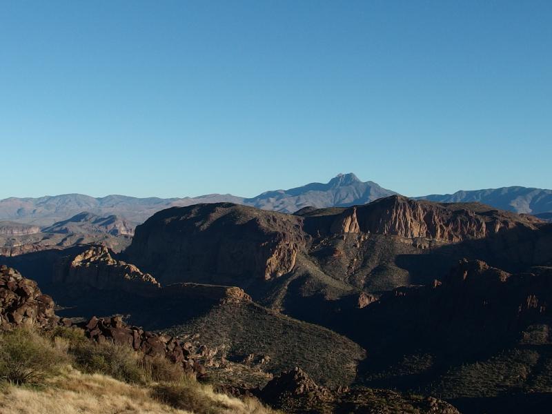
Four Peaks beyond Geronimo Head
Black Mesa spread out below
Looking north and east showed us a new wealth of views. Malapais Mountain rose up on the other side of Boulder Canyon with a giant bulk that seemed unreal. My mind immediately raced to think of how and when I could climb that thing. A more familiar mountain lay to the north beyond Geronimo Head, the profile of Four Peaks, looking much closer than most of our hikes grant us. Below Geronimo Head was the long ridge of Battleship Mountain. That thing looked tiny compared to the other rises all around.
Battleship Mountain is not that tall, though deep washes on either side exacerbate the climb. It is maybe 2800' at the tallest peak, a mild 800' above the land around it. What it lacks in height is made up in exposure. The narrow ridge is sharp, often with hundred-foot-plus cliffs around it, and the ridge itself is rugged. Climbing it means following the narrow ridge up and down numerous rises and valleys and didn't look easy.
Distant trail in the wash below
Our gawking around done we turned to face our descent into Boulder Canyon. Almost a thousand feet of steep downhill walking through desert flora did not look fun. We hee-hawed around the route, finally decided to aim for a direct drop into a little canyon, and headed down. The route sucked. It took forever to go down, almost a full two hours of careful drop in the direct sun, and we broke more than a few rocks loose. One particularly large boulder came free under my feet and almost took Chris's knees out during its loud and dangerous roll. When we finally reached Boulder Canyon we collapsed and rested, all exhaustion and aching knees after Yellow Peak.
Looking back up at Yellow Peak
Steep gorge within the wash
It felt good to be on level ground again. After we got our breath back we meandered around a bit and looked for a trail. We weren't in any rush, not after that hard descent, thinking that anything this day could throw at us would be nothing in comparison. Yet we couldn't find the trail. Shrugging this off we simply headed north on the wash, picking our way over boulders and rocks in the general direction of Battleship Mountain.
The wash was not a ton of fun. It was pretty enough, with small pools of algae and water and soaring rock walls on either side. And the vegetation was thick and flowery. The rocks underfoot did not make things easy. They rolled and took our ankles with them. Chris had a bad fall a few hundred yards in, and I was soon after him, and it didn't take long for us to grow weary of our 'pleasant' walk over flat ground.
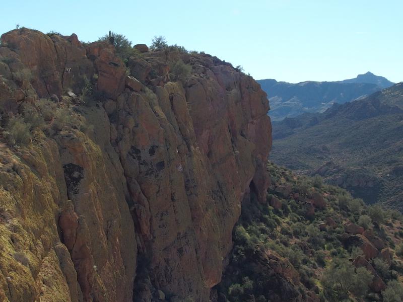
Looking up at the stern of Battleship
We bumped into a hiker right after the stern of our climb showed up, the first person we had bumped into all day. He didn't have much to share about the next leg of our hike, though, and was in a rush to continue along. We pushed forward ourselves and began the slow descent up crumbling rock to the stern. It was a steep and annoying scramble up, an uncomfortable reminder of the hiking on Yellow Peak, though it didn't take anywhere as long. At least we got more views coming up out of the canyon.
Winding canyon below
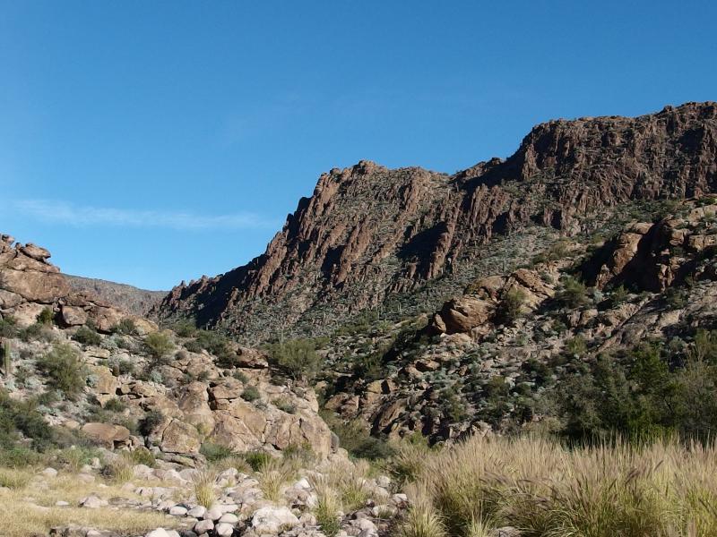
Sharp rocks round Le Barge Canyon
Flatiron poking up beyond the mesa
Once we reached the base of the ridge we had to figure out how to get on top. The stern here climbs a good thirty feet straight up from the crumbly hill below. I circled hesitantly to the east and didn't see anything so we committed to the west side. A few dozen yards and we saw the way up, a tough scramble up hard rock with only a few small cracks to wedge fingers and toes in. Well, no one said that Battleship would be easy. A few tense minutes later and we were on top of the ridge and in a bizarre, otherworldly environment.
Up along the ridge of Battleship Mountain
The rock here was yellow-green with some flavor of moss, scattered here and there with hardy bits of green vegetation. Other than that it was yellow rock. It was much sparser than most of the desert we had walked through today, the hard surface provided a harser home than the mesas or washes we had spent most of the day in. A wide path crushed by countless past visitors wandered along the even top and led us north towards the bow and we followed, eagerly looking forward to the walking the full length.
Steep drop down
Battleship Mountain would not be so easily conquered. Less than halfway it dropped into a sudden saddle, forcing us to slide down narrow chimneys to continue, before rising back up towards the northern peak. The cliffs on either side of the narrow ridge did not lower here. We were in a small saddle with some five feet of flat on either side before hundred foot drops. Not quite a tightrope, but close enough.
Climbing out of saddle was difficult, forcing us to stop and puzzle over multiple sections. Wide gaps slowed us, narrow ledges slowed us, and steep climbs slowed us. None of it was terribly dangerous, mostly. If anything there was a bit of a mind game going on. The ridge was skinny, and tall, and a fall would hurt a lot, there just wasn't much of a chance of a fall. At no point did I wish for a rope or climbing gear.
Another hump beyond
A discouraging amount left to climb on Battleship
Time was becoming a factor. Neither one of us wanted to return in the evening dark, figuring that two hours in the morning was enough night hiking for one day. When we crested a long and tough section only to find that we had just crested a false peak, and that the real peak rose up with a terrible sharpness that defied our mediocre skills, Chris elected to turn back. I was hesitant but agreed. I was low on gear and he had hurt his leg pretty bad back on Boulder Canyon. A bit of caution wouldn't be a bad idea.
Hackberry Mesa, just east of Black Mesa
Ever present bulk of Malapais Mountain sitting nearby
Looking back down on the stern
At least we had a good view coming back down. Weaver's Needle lay directly off the stern of the ridge like the dot of a huge exclamation point. We conversed and wondered if this was all part of the same volcanic system, if the needle was the neck and this was a vein, but our knowledge of the geologic history of this land was severly lacking. Our speculation grew thin and we simply headed down the way we came up, ending up on the end of the stern with a long bushwhack down to Boulder Canyon.
Looking back down the stern
Along the steep yellow sides
The way down to the canyon was tough, stumble trips over loose rock broken by the occasional dodge around cactus. And once we reached the rocky wash things didn't get easier. There is a trail along the banks here, one that crosses the loose boulders a few times and lurks around the green trees, and we had a tough time tracking it. We had a tough time tracking it before Battleship earlier in the day. It led us into thick brambles, numerous backtracks, and over the dry rocky river so many times that we contemplated trying our luck on the ankle-rolling wash.
When we finally saw the opening to Second Water Canyon we plopped down on a nearby rock and rested. We were finally done with the second, longest leg of the hike. All we had to do was climb up out of Boulder Canyon along Second Water and re-enter Garden Valley. A few miles was all that separated us from where we had been so many hours ago, where I had dropped some gear this morning, and after that the car was a few more miles. The end was in sight.
A sharp, proud prow
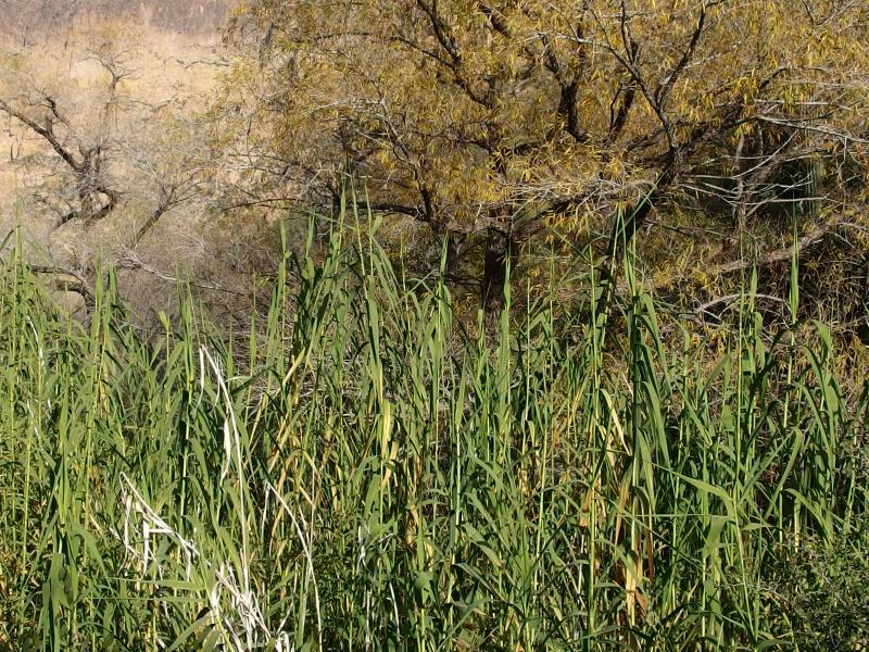
Thick reeds clustered around Second Water
Eventually we got back up and started up the trail. There was an immediate and drastic change to the trail. Instead of dry, thorny trees surrounding a dry, rocky wash we were in a dense and green haven. Water here must lurk in the soil for some time before leaking out to the wash to the north. Shoot, there were even some patches of mud along the trail.
Once we got past the tall reeds and lush trees our trail climbed. It wasn't much of a climb to get out of the wash, maybe 500' to regain the elevation up to Garden Valley, but it wore on our tired legs. It wasn't an easy climb either, over loose gravel that shifted easily, and we were climbing directly into the afternoon sun. The climb and sun drained us easily.
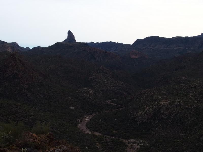
Last view of Battleship Mountain
Narrow path between mesas to Garden Valley
Stacks and stacks of cacti
After a few breaks we crested the climb and were in a gently sloping little valley, hills of saguaro reaching up on both sides. To the north was Hackberry Mesa and south was Black Mesa. All day I had seen hints of black on Black Mesa and had guessed that it's name had to be based on volcanic rock. In this little valley I could easily confirm that. Crumbling hunks of black volcanic rock littered the ground, the cactus and desert growth growing on and around the tough covering.
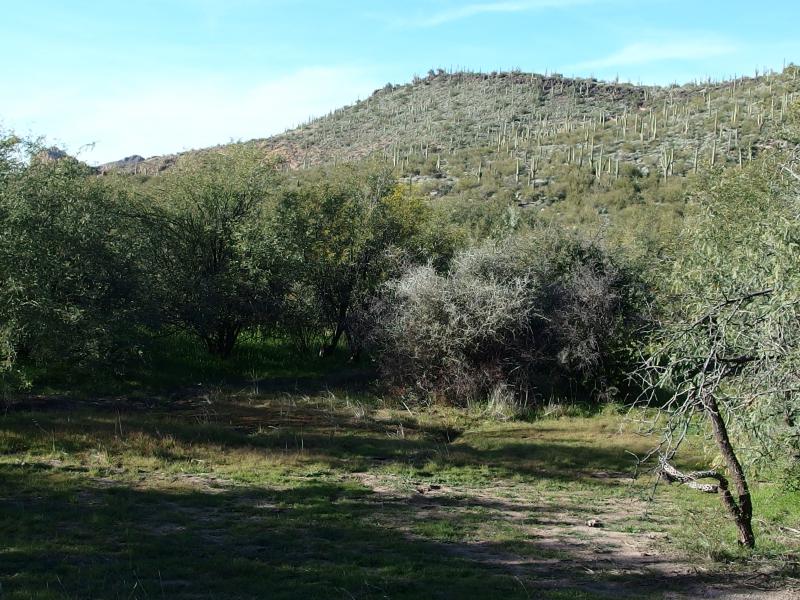
Grass and thick trees in the valley
Beyond the narrow valley was Garden Valley, and in the middle of the valley was our morning trail to Black Mesa with a few extra water bottles waiting for me. Chris was in 'death march mode' at this point, only focused on moving forward in quick-shuffles, so I grabbed my gear quick and jogged to catch up. I was all too familiar with his current condition and didn't want to slow us down. It was all downhill from here to the car, though we still have several miles to go.
Afternoon sun shining over North Peak
Long shadows on the path back
Our path back under the harsh sun was interesting, bright rock formations and desert growth stacked on the hills, yet it was hard to maintain much interest. We were both tired, we were closing in on the trailhead, and the incredible views around Boulder Canyon made all this seem unimpressive. Maybe if we had started in daylight this section of the trail would have been eye-catching, now it was just a hindrance. We reached the car with two hours before sunset and headed back to civilization. Chris and I had finally explored east of the Ridgeline, even if it had turned out to be a fairly long day in the hot sun.

-
Jacob Emerick
Feb 24, '15
Thanks sir - I'm still not sold on this whole desert thing, but at least I'm getting a few interesting pictures out of it.
-
Ricky Moreno
Feb 16, '21
Hi Jacob! I'm Ricky from the YouTube channel Explore With Us. I came across your photo of Battleship Mountain, Arizona posted here on February 15th, 2015, and was hoping to get your permission to use it in a video. It's the photo titles "Humbling Climb Ahead." We're making a video about a young man named Khayman Welch who went missing in that area last summer, and we're trying to get the word out to help find him. We will give you full credit for using your photo in the video. Thank you so much, and hope to hear from you soon!
Add to this discussion